Capture the whole site in one walk, tied to your control.
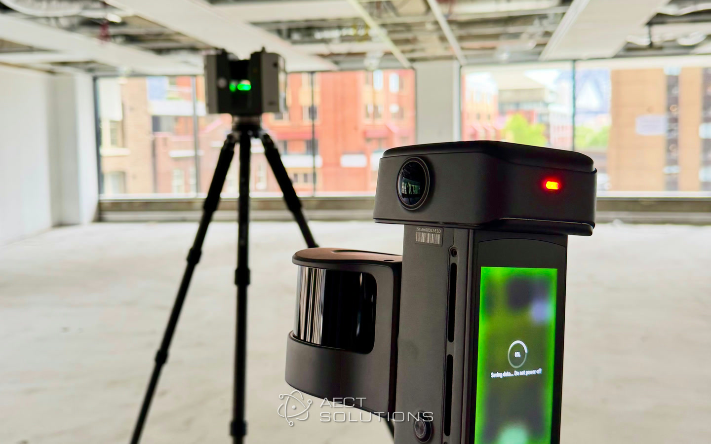
SLAM complements your total station and TLS. Set your control, walk the site with an XGRIDS scanner, and bring back a survey-grade point cloud, a photoreal 3DGS scene and a mesh from the same capture. AECT sets it up, trains your crew, and processes or supports everything after the walk.
What slows the work down
Return visits for missed detail
A pick-up visit because one level, pit or façade wasn’t shot on the day.
Why it happensPoint-by-point methods only record what the crew chose to measure.
More work than people
Jobs wait for a qualified crew to come free.
Why it happensSurveyors Australia says the profession needs at least 1,500 new professionals a year just to meet baseline demand.
Deliverables clients can’t read
Designers and clients struggle with linework and raw point clouds.
Why it happensA drawing shows what was measured, not what the site looks like.
Four layers, one coordinate frame
Nothing about your control changes. SLAM fills the time-consuming middle, and 3DGS gives everyone else a view they understand.
- 01
Control
GNSS and total station set the frame and the check shots.
Your GNSS and total station - 02
TLS
Static scans where the tolerance is tightest, such as façades or structural steel.
Your terrestrial scanner - 03
Rapid SLAM
Walk the rest of the site, tied to your control points.
Lixel L3, K2 or L2 Pro - 04
3DGS
A photoreal scene from the same walk, for clients, designers and stakeholders.
LCC Studio
For corridors and GNSS-poor sites, check the SLAM cloud against total-station shots, and keep a qualified surveyor directing the work.
Where AECT fits in your work
Start with one job type. Each one uses the same capture, the same software and the same support.
Detail and feature surveys
Topo, levels and features for a design team.
Walk the block with RTK on, tie in at least three well-spread control points, then pick up features in LixelStudio or your CAD package.
Existing conditions and as-builts
Buildings, plant rooms and ceilings for refurbishment or handover.
Lixel L3 or K2 indoors where GNSS drops out, controlled from your total station, exported for Revit and CAD.
Corridors, open sites and volumes
Roads, paths, stockpiles and large sites.
L2 Pro on foot, on a vehicle or on a drone for distance; Lixel L3 for the detail. Surfaces and volumes come from your own software.
Visual records for clients
A site record a client or designer can open without CAD.
The same walk produces a photoreal 3DGS scene, hosted as a link your client opens in a browser.
One partner, from the first demo to the hundredth job
A distributor stops at the box. We stay for the processing, the integration and the support, and we can run any stage for you when your team is stretched.
- 01
Scope
A site demo checked against your own control, on a job your team knows.
- 02
Equip and train
Lixel L3, K2 or L2 Pro, a workstation sized for your data, LixelStudio and LCC licences, and onboarding for field and office.
- 03
Capture
Short on crew this month? We capture for you, or alongside you, under your surveyor’s direction.
- 04
Process
Onshore processing in Queensland: registered, georeferenced and colourised clouds, 3DGS scenes and meshes.
- 05
Integrate
Exports your software reads (LAS, LAZ, E57, PLY, DXF, OBJ) in GDA2020 / MGA.
- 06
Host and support
Local support by phone and remote session, workflow updates, and hosting on AWS Sydney with LCC Premium.
Run all six with us, or only the stages your team doesn’t cover yet.
The right XGRIDS scanner for the job
All three run on the same LixelStudio and LCC workflow, so a firm can mix them.
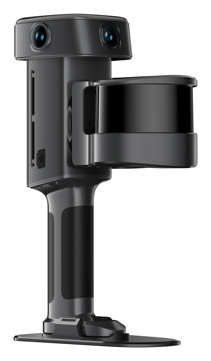
XGRIDS Lixel L3
The precision handheld: 5 mm relative accuracy (1σ) and 2 cm absolute with built-in RTK, for detail and tighter tolerances.
View the Lixel L3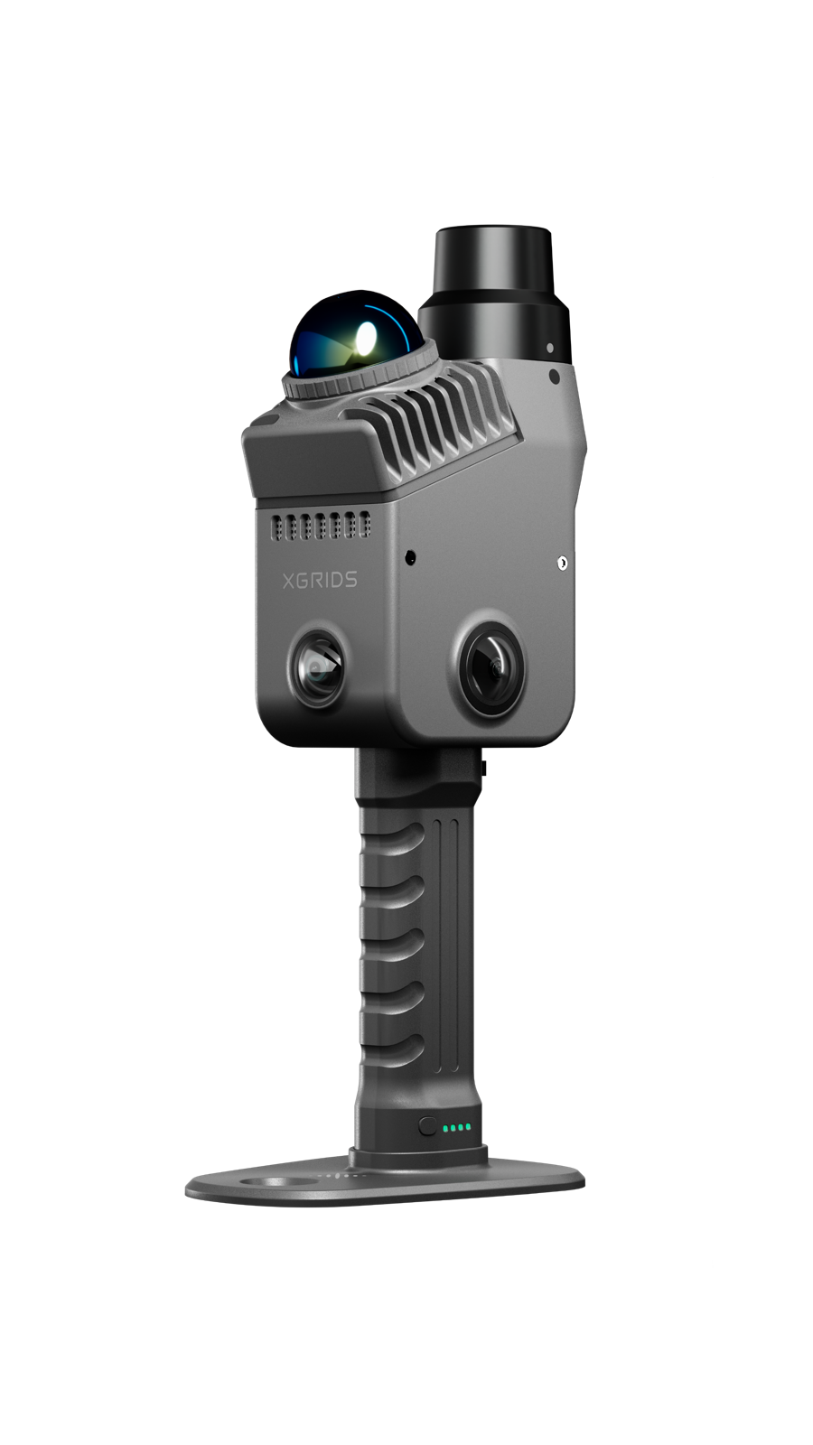
XGRIDS Lixel K2
The light everyday scanner with built-in RTK: about 1 cm relative and 3 cm absolute, for fast detail and as-built jobs.
View the Lixel K2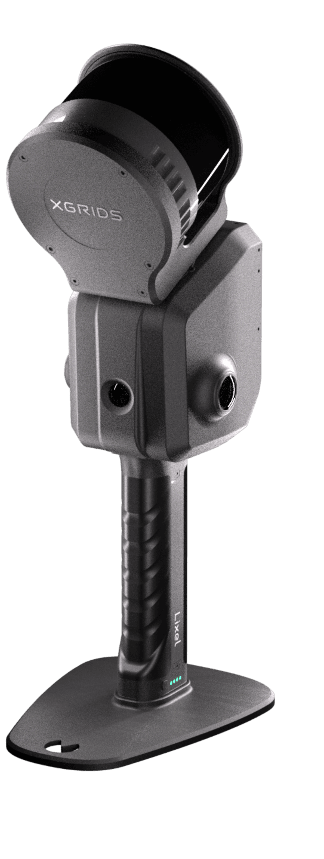
XGRIDS Lixel L2 Pro
Long range for corridors and open sites, on foot, on a vehicle or on a drone.
View the Lixel L2 ProCapture, check and measure
XGRIDS footage of the field and office steps behind a survey deliverable.
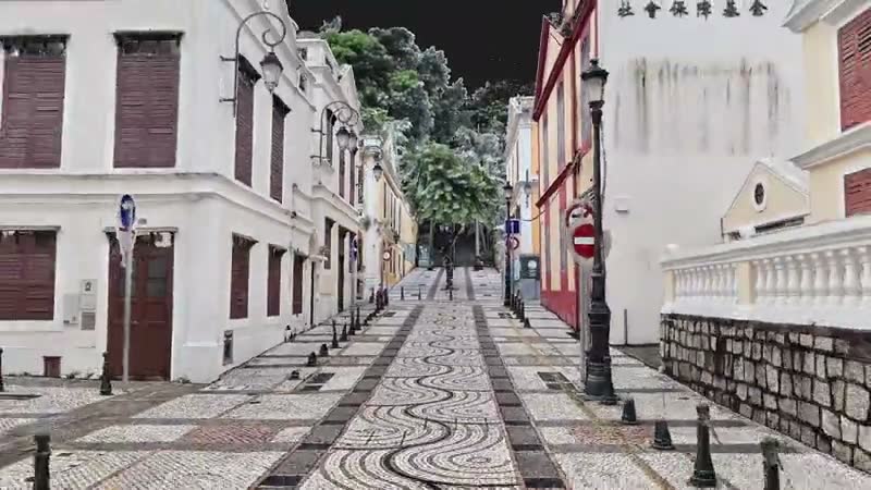
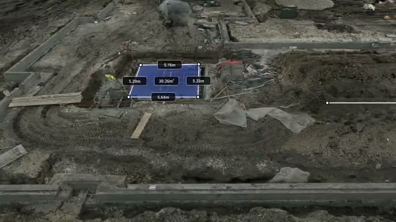
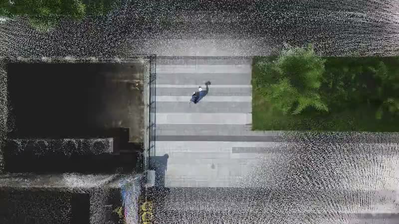
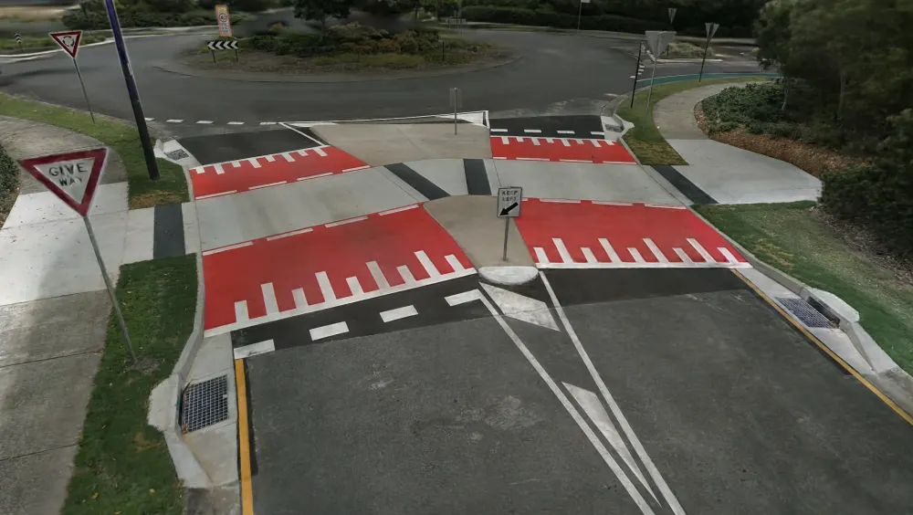
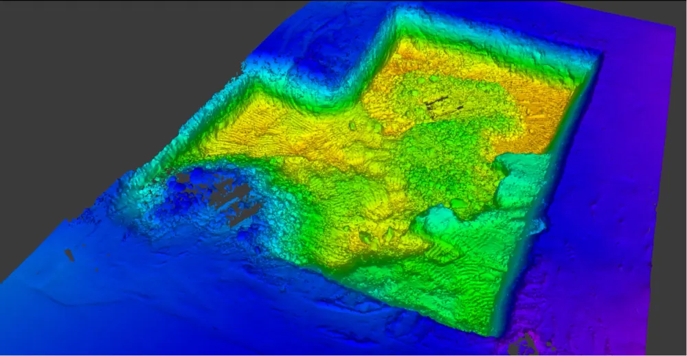
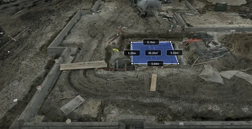
Product images and footage: XGRIDS, not AECT project work.
Proof from Australian jobs
Real captures from our clients and our own crews.

Gold Coast Highway: a live highway corridor, captured without a lane closure
One operator walked a live stretch of the Gold Coast Highway from the pedestrian path in a single pass of about 10 minutes. The point cloud, 3DGS model and asset vectors were published within a day, and the road never closed.
Read the case study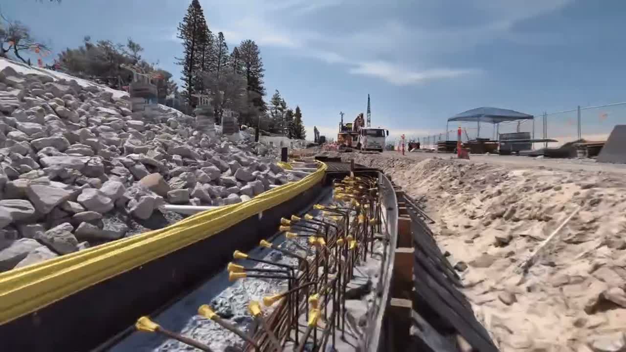
Aerial and ground fusion: drone and ground capture, fused into one model
A DJI Matrice 4E captured a sports ground from above while an XGRIDS Lixel L2 Pro captured it at ground level. The two were fused into one photoreal 3DGS model with no blind spots, open in any browser.
Read the case studyThree ways to start
Site demo
We bring a scanner to a site you know and compare the result with your control.
Book a site demoPilot job
We capture and process one real job. You check it against your own survey before committing.
Request a pilotEquip your team
Buy, or hire a K2 or L2 Pro first. The Lixel L3 is sales only. Onboarding and local support come with every unit.
See hire optionsCommon questions
Does SLAM replace a total station or TLS?
No. SLAM complements them. Control comes from GNSS and your total station, TLS stays for the tightest tolerances, and SLAM covers the rest of the site quickly. A qualified surveyor still directs the work and checks the result.
How accurate is the Lixel L3?
XGRIDS specifies 5 mm relative accuracy (1σ, measured in a dedicated 500 m² test environment) and 2 cm absolute with RTK. Its validation white paper reports 4.2 mm at P68 across seven units and 1,524 distances checked against a total station, with no control points. These are post-processed results, not the live preview.
How do I tie a scan to my control?
Use at least three control points, spread across the site and not in a line, with spacing as the XGRIDS manual sets for each scanner. Built-in RTK through a CORS or NTRIP service georeferences the scan as you walk. Our onboarding covers both.
What coordinate systems and formats do you deliver?
GDA2020 / MGA as standard, or your project grid. Point clouds as LAS, LAZ, E57 or PLY, meshes as OBJ, 2D drawings as DXF, and 3DGS scenes as .lcc or .lcc2.
Can you process our scans when the office is busy?
Yes. Send the raw project folder and we process it onshore in Queensland, or we train your office to run LixelStudio and LCC Studio in house.
Can we try before we buy?
Book a site demo or a pilot job. The K2 and L2 Pro can also be hired; the Lixel L3 is sales only.