About AECT Solutions
From the field, not just the boardroom. We are building Australia's first end-to-end 3D geospatial ecosystem — because the people who capture the data should understand what it means.
From Capture to Decisions
AECT Solutions exists to close the gap between raw spatial data and the decisions it should inform. We believe that the future of construction, infrastructure, and asset management is digital — and that Australia needs a sovereign partner who owns the full pipeline.
Our workflow spans capture, extraction, reconstruction, and delivery. We do not just sell technology — we build the ecosystem around it: training, integration, compliance, and ongoing support. That is what makes AECT different from every other equipment reseller.
Our Pipeline
Capture
↓Extract
↓Reconstruct
↓Deliver
What We Enable
Remote Control of Site
Inspect, measure, and manage assets remotely with survey-grade accuracy.
Sovereign Data Workflows
Australian on-shore processing — no offshore data dependency.
Full-Scale 3D Reconstruction
Micro → Ground → Aerial fusion for complete spatial coverage.
Jacob Lee
Founder & Director, AECT Solutions
“I help infrastructure, government, utilities, AEC, and agricultural teams turn complex real-world scenes into clear, compliant, and actionable geospatial intelligence.”
I'm the Director of AECT Solutions, where I work at the intersection of geospatial technology, digital twins, and ISO-integrated HSEQ systems. With over 15 years of hands-on experience across ISO 9001/14001/45001, ICT systems integration, asset management, aerial data capture, digital construction, and seven years on construction sites as an HSEQ Officer at Exceed Concrete Construction (concurrent with AECT 2022–2026), I now lead the delivery of next-generation field-to-cloud solutions for real projects — not lab demos.
Most projects still rely on 2D drawings to manage a 3D world. That disconnect creates risk, delays, and rework. Our focus is to close that gap by combining LiDAR, RTK-enabled drones, industrial 3D scanning, and CAD / BIM / GIS integration to convert complex spatial data into decision-ready insight — fast.
Before AECT, I managed regional accounts for Convergint Asia Pacific in West China (Chengdu) — a global systems integrator for security and building technology — building a decade of bilingual APAC commercial experience that now anchors AECT's OEM relationships with XGRIDS, DJI Enterprise, EcoFlow, and Insta360.
From scan to insight — we simplify spatial data workflows so projects remain compliant, measurable, and future-ready. Whether you're digitising a heritage building, mapping a utility corridor, building an asbestos digital register, or scanning a film set for virtual production, the underlying pipeline is the same: Capture → Process → Deliver, onshore in Australia, with full data sovereignty.
Why Clients Trust AECT
Not just a tech vendor — a certified, authorised, government-recognised partner.
XGRIDS Official National Distributor
Australia's Official National Distributor for the full XGRIDS Lixel ecosystem — scanners, cameras, and LCC software.
DJI Enterprise & Agras Authorised
Authorised DJI Enterprise dealer for Matrice, Mavic, and Zenmuse platforms. Certified DJI Solution Engineer.
CASA ReOC Holder
Fully licensed Remote Operator Certificate holder under Australia's Civil Aviation Safety Authority for commercial drone operations.
ISO 9001 / 14001 / 45001
Integrated Management System covering Quality, Environmental, and WHS — with Lead Auditor credentials obtained in 2023.
QLD Gov Space to Sea Accelerator
Selected as 1 of 8 for the Queensland Government's Space to Sea innovation accelerator — recognising AECT's sovereign geospatial technology potential.
EcoFlow · Insta360 · Scanology
Official distributor for EcoFlow portable power, Insta360 cameras, and Scanology scanning solutions across Australia.
Our Story So Far
2015+
15+ years of hands-on experience across ICT systems integration, construction, civil infrastructure, and asset management — including regional account management at Convergint Asia Pacific.
2022
AECT Solutions officially established — combining deep field expertise with geospatial technology to solve real industry problems in the AEC sector.
2023
ISO 9001, 14001 & 45001 Lead Auditor certifications obtained. Positioned as a specialist HSEQ & IMS consultancy for construction and infrastructure.
2024
Appointed Official Distributor for XGRIDS, DJI Enterprise & Agras, EcoFlow, Insta360, and Scanology. Certified DJI Solution Engineer.
2025
Delivered Australia's first aerial-ground fusion 3DGS project. Selected for QLD Government Space to Sea Accelerator (1 of 8). Launched Scan-to-BIM/CAD vector data extraction capability and micro-ground-aerial digitalization workflows.
2026
First geo-referenced & SLAM LiDAR-backed aerial-ground fusion 3DGS in ArcGIS Pro 3.6. 3DGS SDK integration for Unreal/Unity/Cesium/NVIDIA Omniverse/AR/VR/XR. XGRIDS Australia National Distributor. Cloud-based spatial platform in development.
Where You'll Find Us
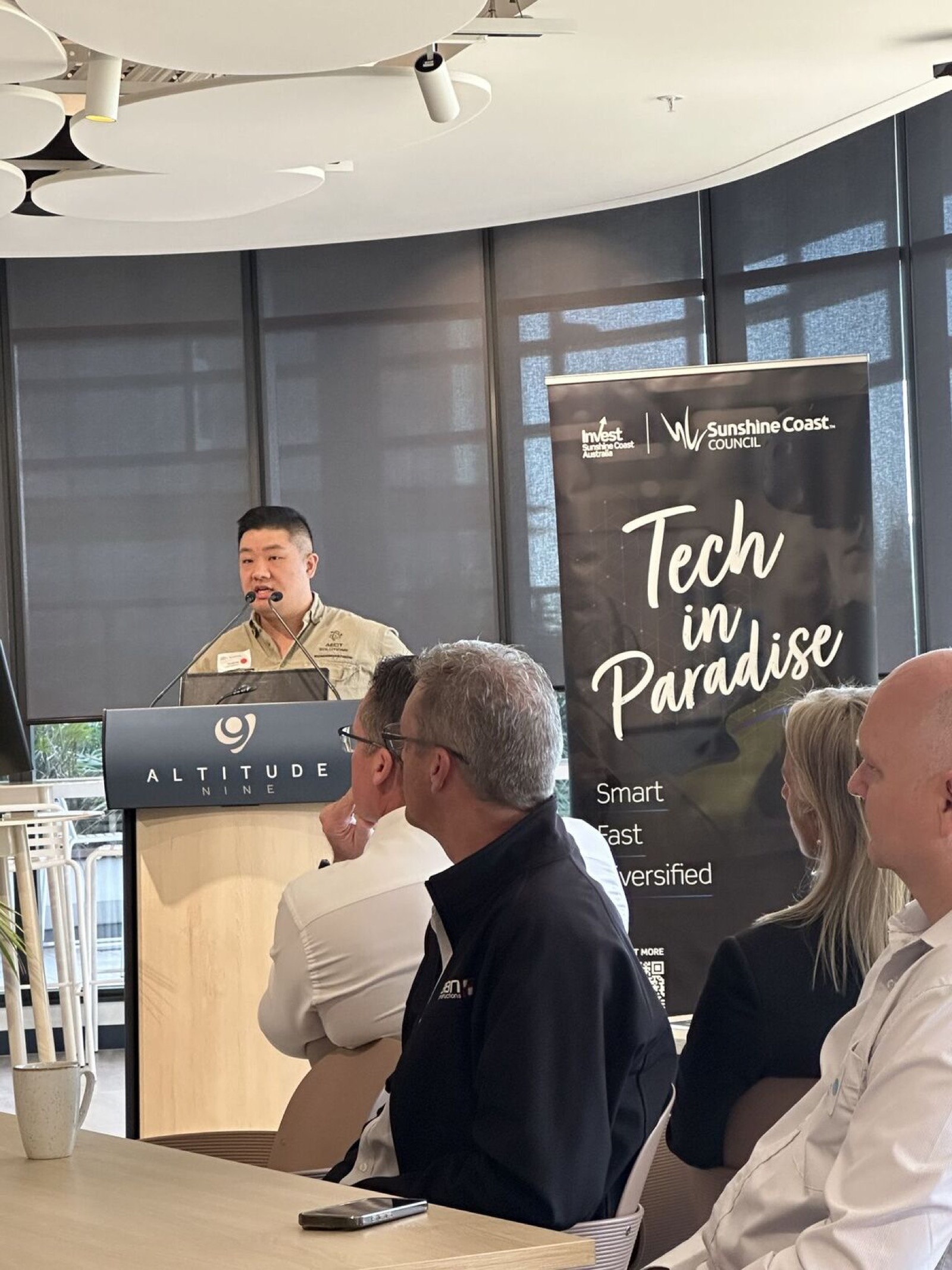
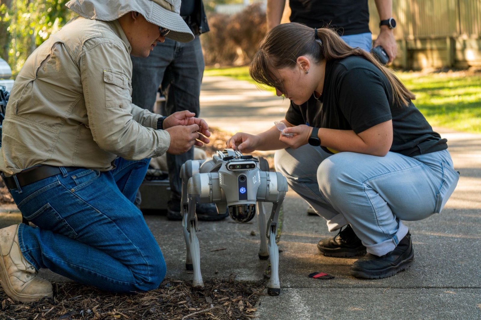
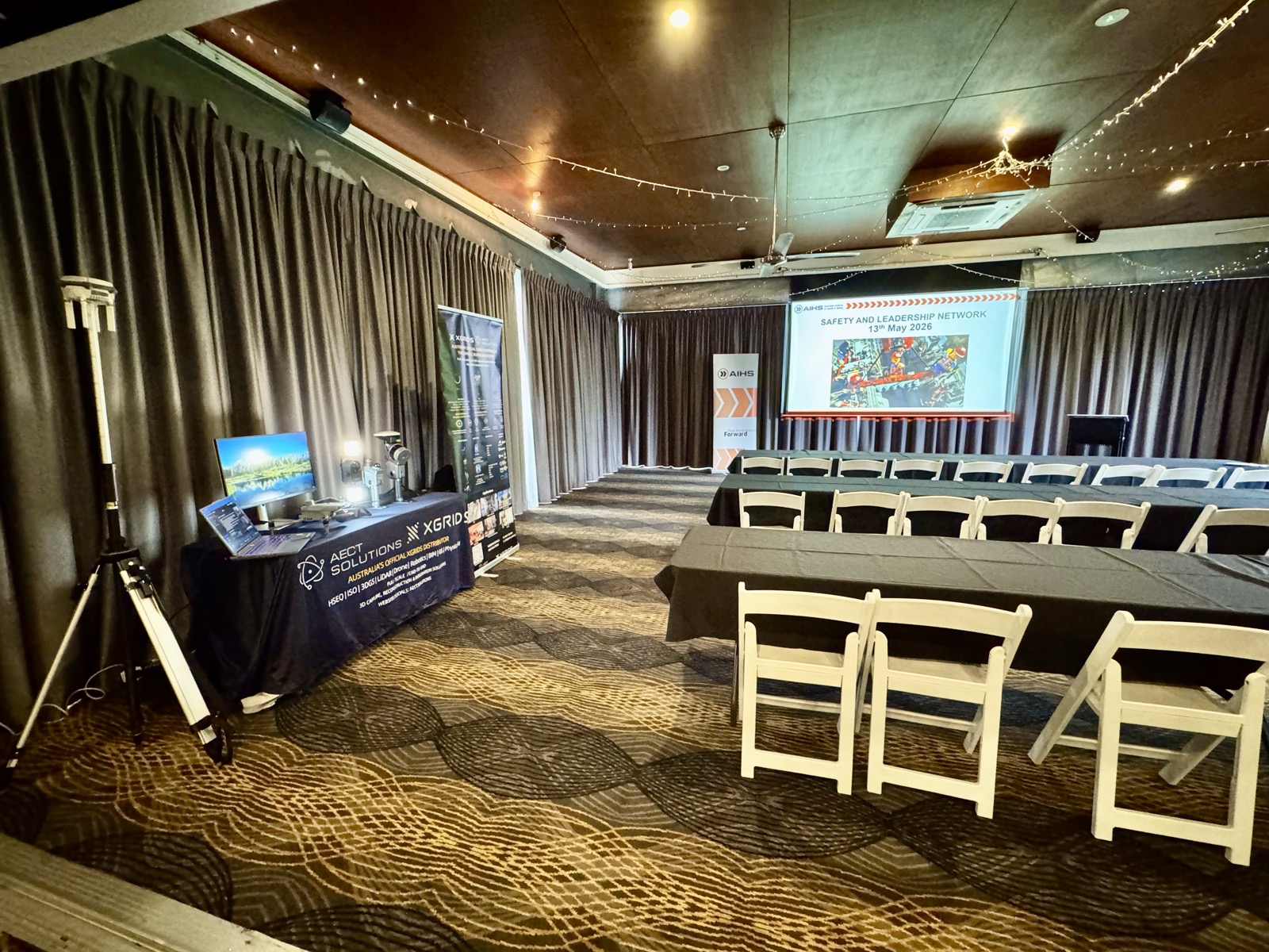
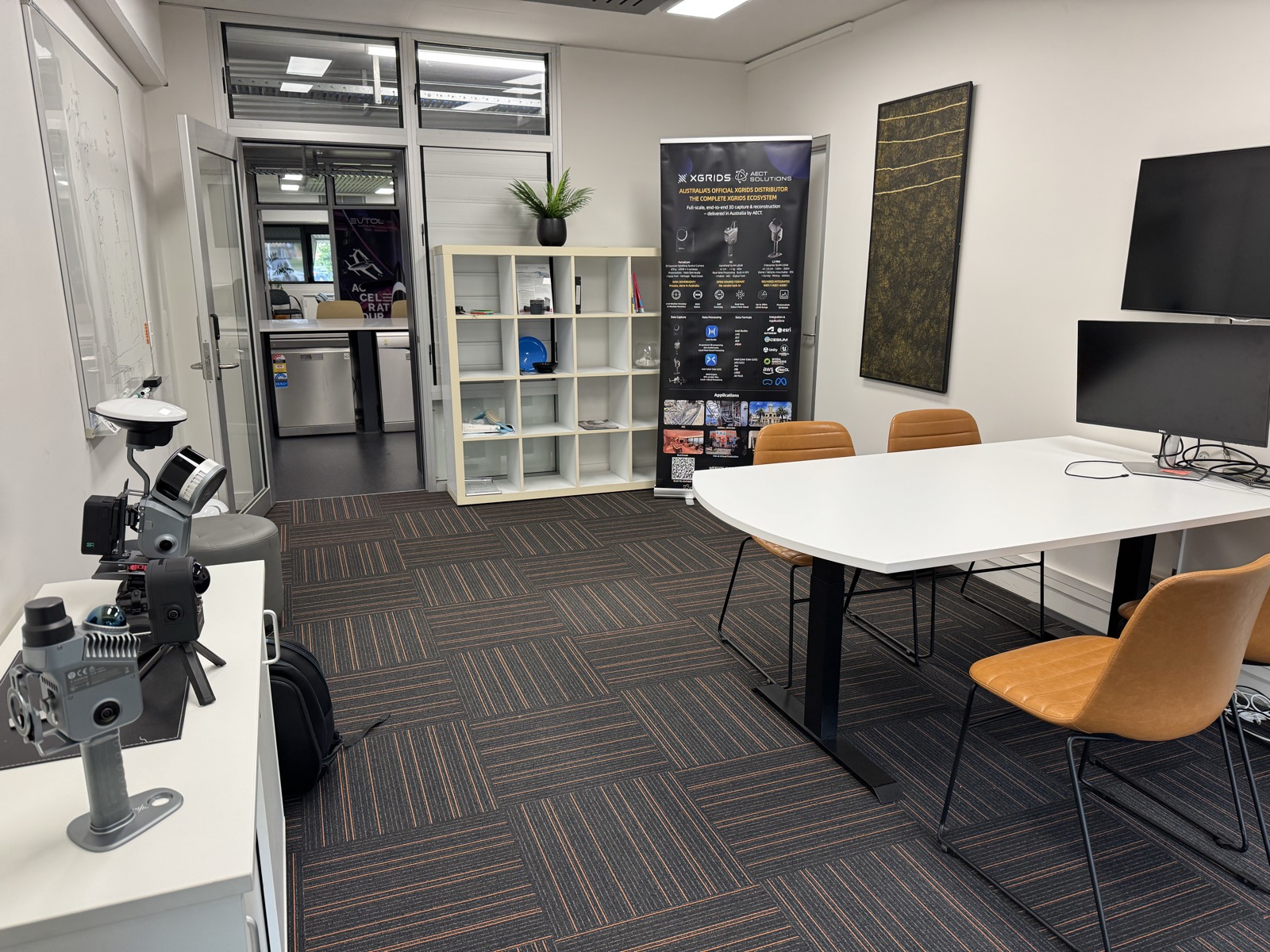
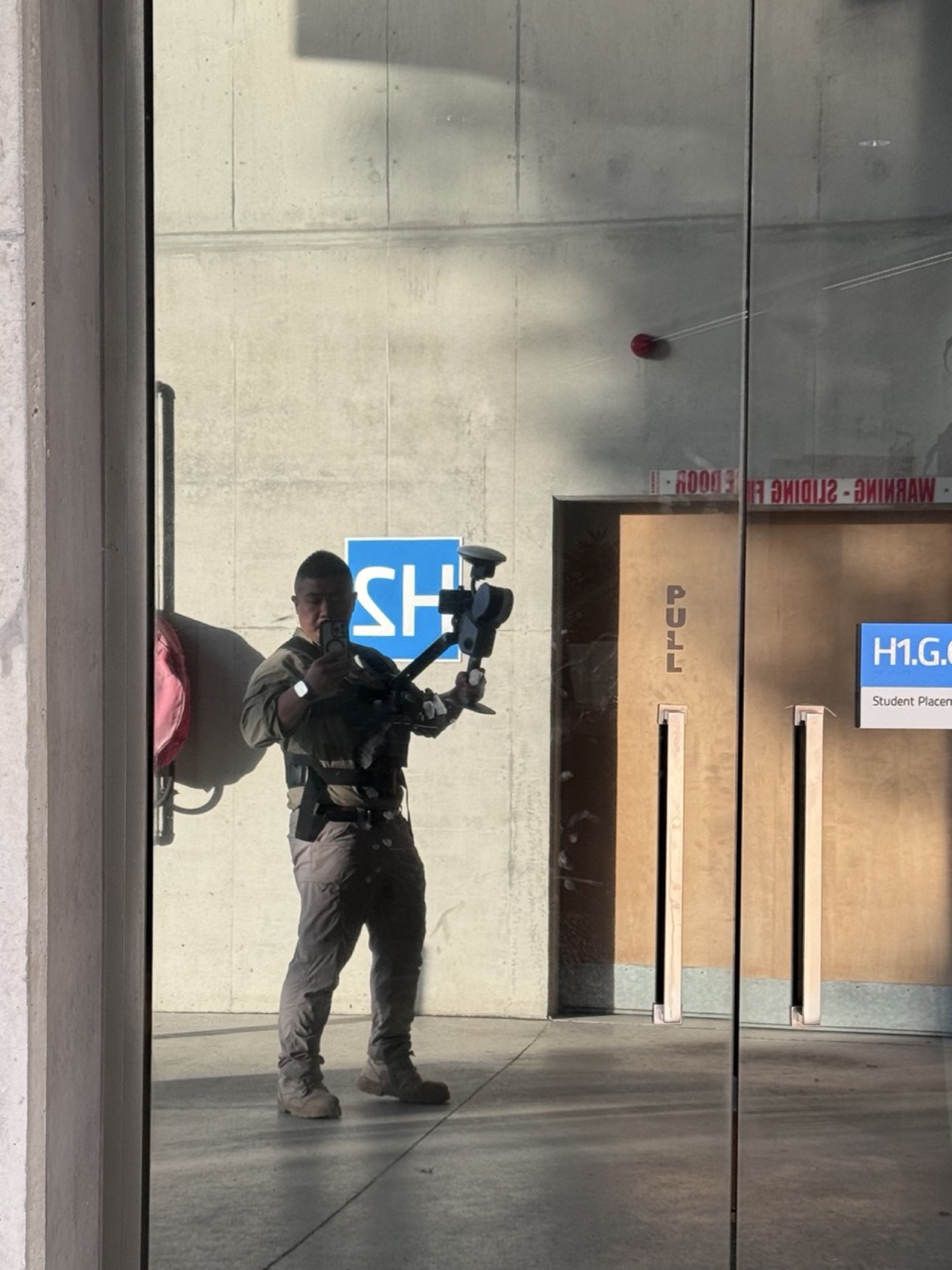
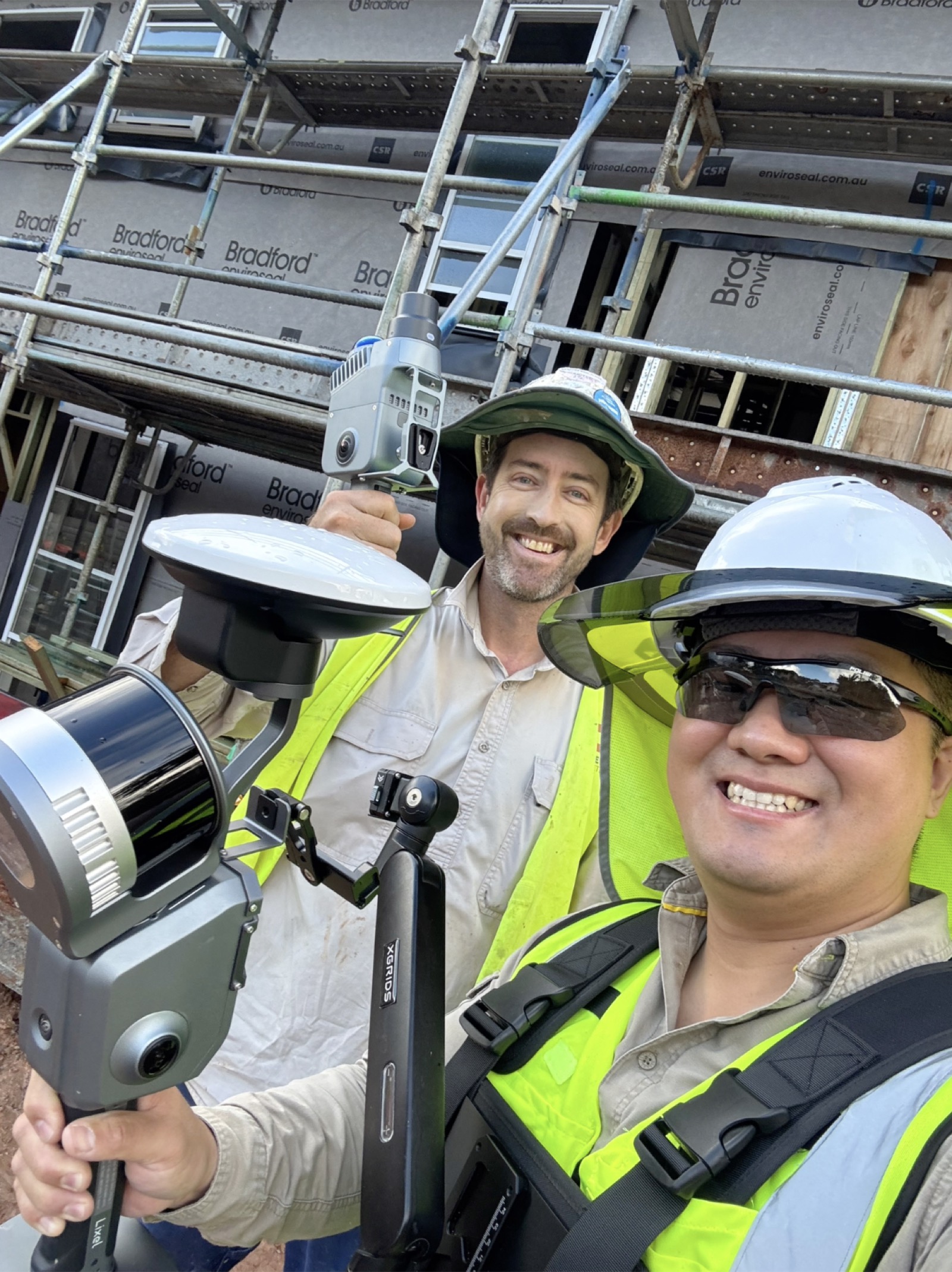
Speaking at industry events, scanning at dawn, training crews, and building the Sunshine Coast's geospatial hub — this is what the work actually looks like.


Trusted By Teams Across Australia


















Want to Work With Us?
Whether you are a project owner, technology partner, or government agency — let us talk.