Real places as research data, from field site to simulation.
Capture labs, campuses and field sites as measured point clouds and photoreal 3DGS, then take them into simulation for robotics and physical AI. AECT equips research teams, captures alongside them and exports into the tools they use.
What slows the work down
Field data eats project time
Capturing a lab or field site takes specialist crews and weeks of a project.
Why it happensSurvey-grade tools have been slow to set up and hard to carry.
Gaps between sim and real
Robots trained in hand-built scenes struggle on real sites.
Why it happensSimulated environments don’t match real geometry and appearance.
Data locked in one tool
Captures can’t be reused across teams, papers and software.
Why it happensMany outputs leave out the raw images, camera poses and point clouds.
Where AECT fits in research and teaching
Most groups start with one site or one dataset, then build capture into the project.
Physical AI and robotics
Real sites as ground truth and simulation scenes.
Robot, handheld and drone captures fused into one georeferenced dataset and exported as USD for NVIDIA Omniverse.
Computer vision and 3DGS research
Images, camera poses and point clouds for your own reconstruction work.
LCC Studio Creator data: raw and perspective images, masks, sparse models, the LiDAR map and camera poses at 10 Hz and 200 Hz.
Immersive teaching and VR
Places students can’t visit, in VR or a browser.
PortalCam or K2 captures processed into 3DGS for VR and the web. Edith Cowan University uses a PortalCam for 3DGS-to-VR research.
Plant, environment and field science
Fine plant structure, habitats and field sites.
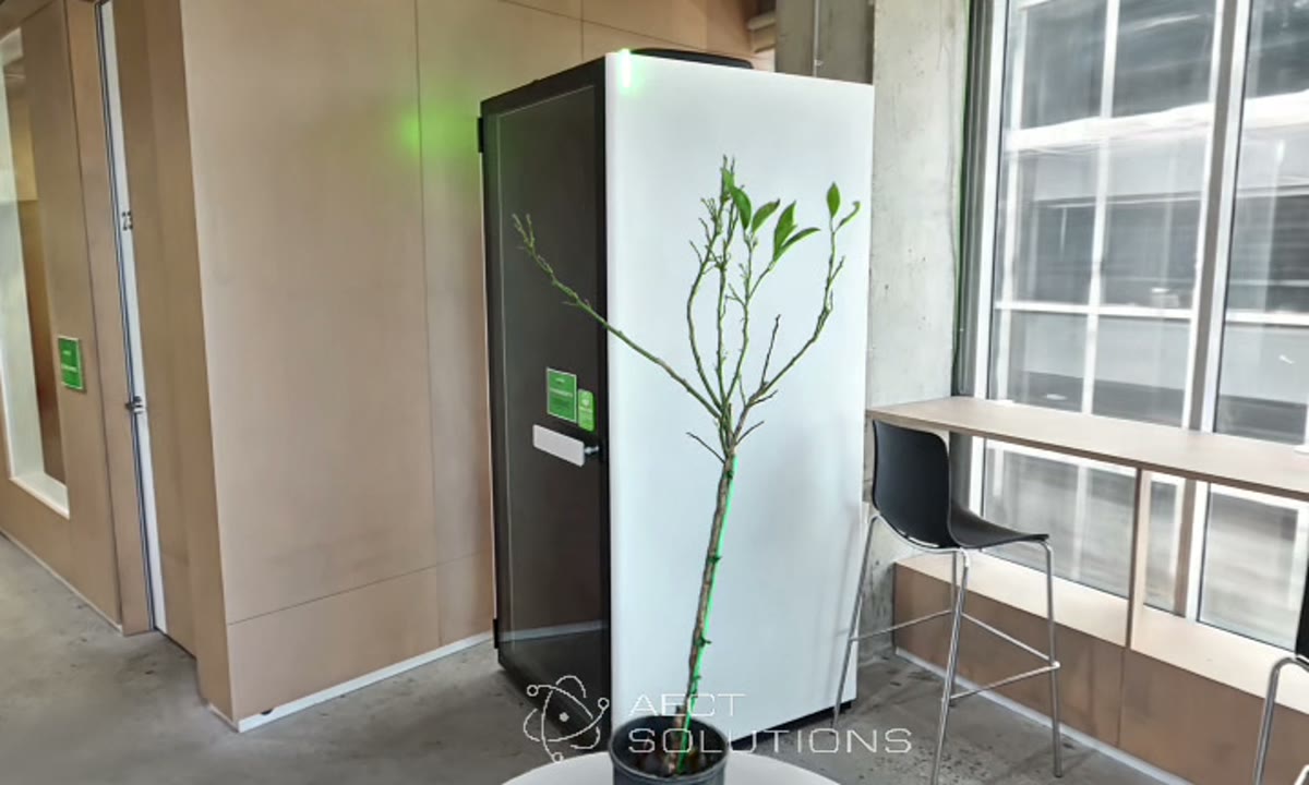
Lixel L3 capture of stems and canopies, with drone data for the wider site.
One partner for the whole project
We help scope the data, equip the lab, capture with your team and export what the project needs.
- 01
Scope
The research question, the data it needs and the capture to match.
- 02
Equip and train
Scanners and licences for your lab, with training for staff and students.
- 03
Capture
With your team in the field: handheld, robot-mounted or from a drone.
- 04
Process
Processing in Queensland or on your own GPUs, with Creator data exported.
- 05
Integrate
USD for Omniverse, COLMAP for reconstruction research, LAS and E57 for analysis.
- 06
Host and support
Hosted scenes for teaching and outreach, and local support through the project.
Run all six with us, or only the stages your team doesn’t cover yet.
The right XGRIDS tool for the project
All of them share the LixelStudio and LCC workflow, so one lab can run them all.
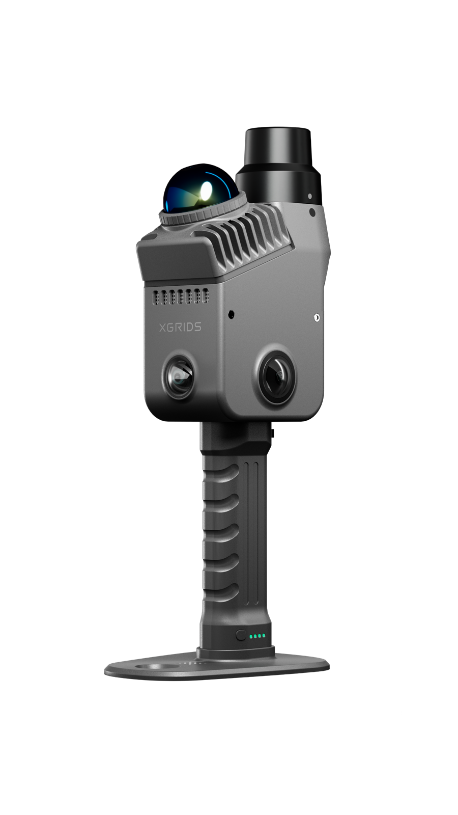
XGRIDS Lixel K2
Handheld reference scans and 3DGS for labs and field sites.
View the Lixel K2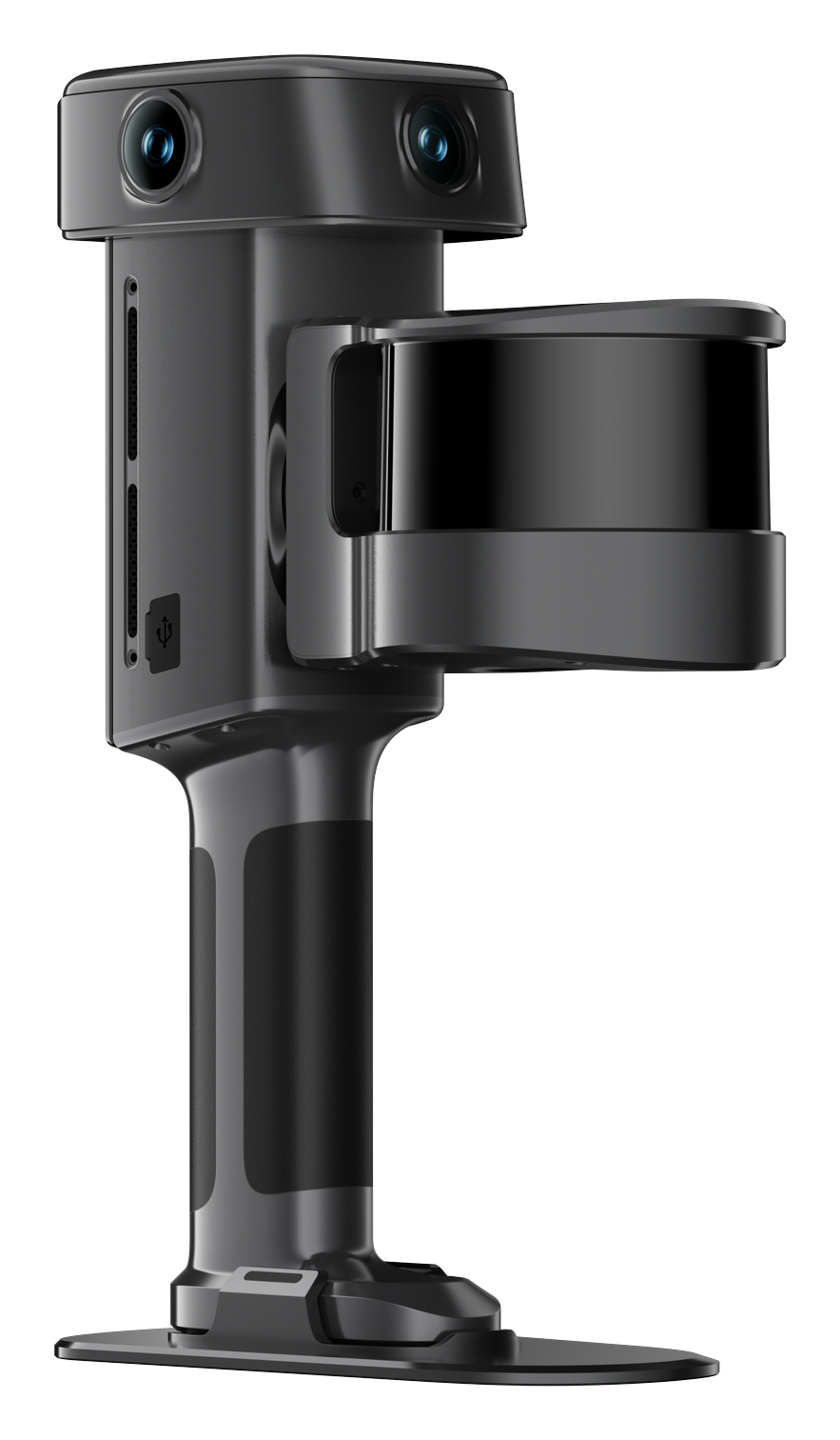
XGRIDS Lixel L3
Fine structure at 5 mm relative (1σ), and 2 cm absolute with RTK.
View the Lixel L3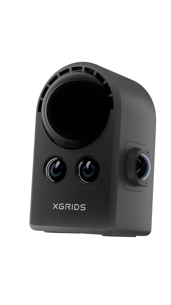
XGRIDS PortalCam
3DGS for teaching, VR and outreach, from one walk-through.
View the PortalCam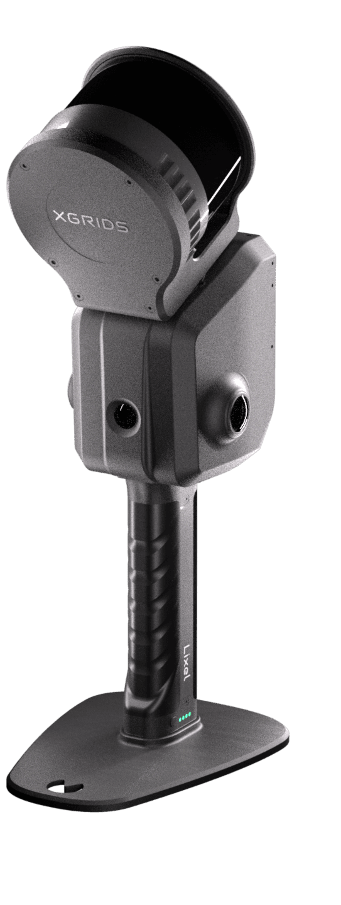
XGRIDS Lixel L2 Pro
Large field sites, on foot, on a vehicle or from a drone.
View the Lixel L2 ProReal places for simulation and study
XGRIDS footage and images of captures used in simulation and research.
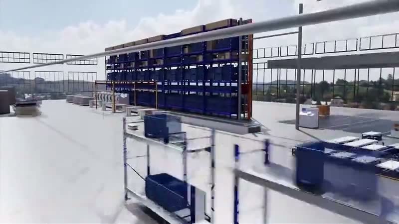
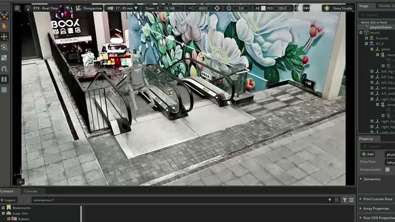
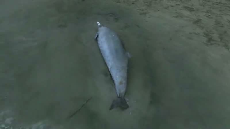
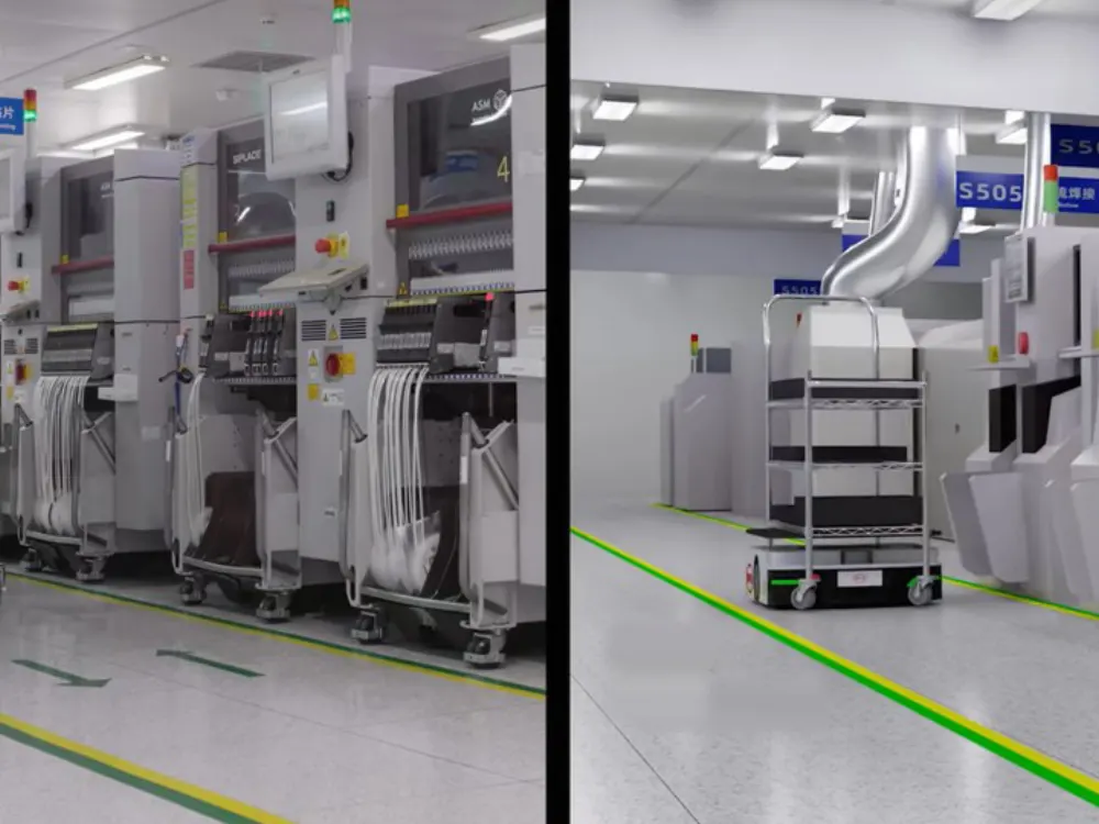
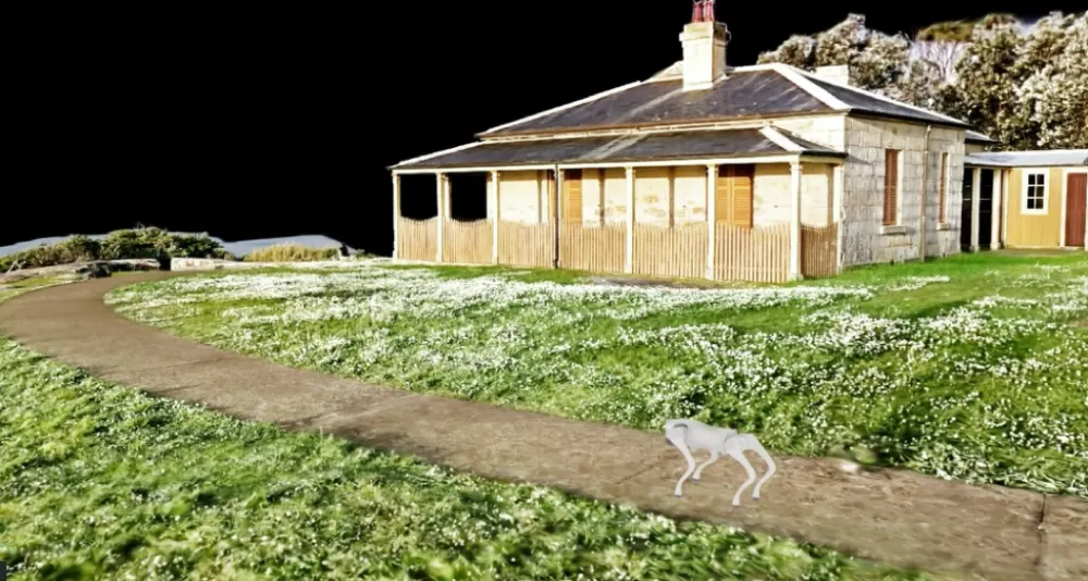
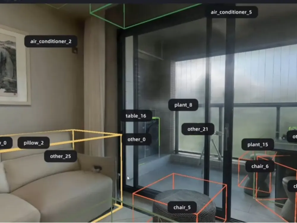
Product images and footage: XGRIDS, not AECT project work.
Proof from Australian research
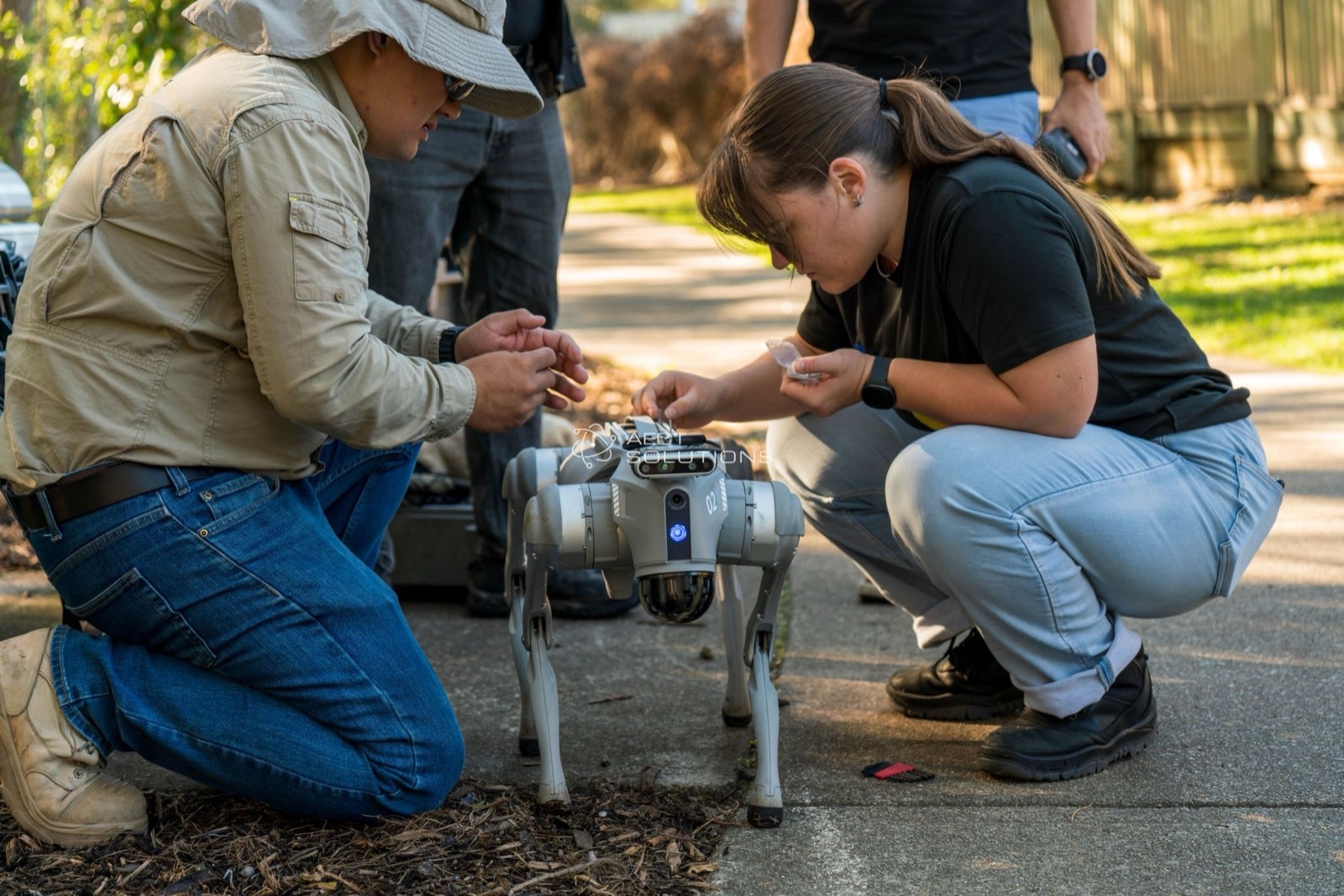
We work with research teams including the University of the Sunshine Coast and Edith Cowan University.
Three ways to start
Research demo
We capture a lab or field site with your team and export the data your project needs.
Book a demoWork on a project together
Bring a research question. We’ll scope the capture, the data and how we can help.
Talk about a projectEquip your lab
Buy, or hire a K2 or PortalCam first. Onboarding and local support come with every unit.
See hire optionsCommon questions
Can we get the raw images and camera poses?
Yes. LCC Studio exports Creator data: raw and perspective images, masks, sparse models, the LiDAR map, and camera poses at 10 Hz and 200 Hz.
Does it work with NVIDIA Omniverse and Isaac Sim?
LCC Studio exports USD for Omniverse Kit 110 and later and Isaac Sim 5.0 and later, and USDZ for NuRec workflows.
Can a scanner go on a robot?
Yes. We have run an XGRIDS scanner on a quadruped robot. Under tree canopy there is no RTK, so the robot scans were tied in with georeferenced handheld and drone data.
Which universities do you work with?
Research teams at the University of the Sunshine Coast and Edith Cowan University, among others.
Bring us your research question
We’ll capture with your team and export the data your project needs.
Book a site demo