Capture the corridor. Keep the traffic moving.
Walk a road, path or bridge from the footpath, or drive it with a vehicle-mounted scanner, and get a georeferenced point cloud, a photoreal 3DGS model and extracted assets, usually without closing a lane. AECT captures, processes and delivers into your GIS and design tools.
What slows the work down
A closure for every survey
Traffic control, night works and lane closures just to measure a corridor.
Why it happensTraditional methods need line of sight from the carriageway itself.
People next to live traffic
Crews exposed during capture and on every return visit.
Why it happensEach missed detail means another trip back to the kerb.
One dataset, many teams waiting
QA, HSE, as-built, GIS and survey each book their own site visit.
Why it happensThere is no shared model they can all check remotely.
Where AECT fits on civil work
Most clients start with one corridor or one structure, then put every team on the same data.
Roads and corridors
Existing conditions and assets along a live road.
Walk from the footpath with a Lixel L3 or K2, or run a vehicle-mounted L2 Pro for longer stretches.
Bridges and structures
A condition and clearance record of the deck, piers and underside.
Captured on foot from paths and banks, with a drone-mounted L2 Pro where the structure needs it.
Civil works QA
Stage records for seawalls, crossings, drainage and pavements.
Capture each stage, from formwork to finished, as a dated record the QA team and the client can open.
Tunnels, culverts and GNSS-poor sites
Capture where satellites can’t reach.
SLAM keeps working underground and under cover. Add total-station control where you need absolute position.
One partner for the whole corridor
We plan the capture, run it, process it and put it in front of every team that needs it, or equip your crews to do the same.
- 01
Scope
A capture plan for your corridor: on foot, vehicle or drone, the control it needs, and what each team will use.
- 02
Equip and train
L2 Pro for vehicle and drone runs, Lixel L3 and K2 on foot, with training for your crews.
- 03
Capture
Our crew captures from the footpath, a vehicle or the air, working to your traffic management plan.
- 04
Process
Onshore processing in Queensland into a georeferenced cloud, a 3DGS model and extracted asset layers.
- 05
Integrate
LAS, LAZ and E57 in GDA2020 / MGA for your GIS and design tools, with vector layers for your asset register.
- 06
Host and support
One hosted model that QA, HSE, GIS and survey can all open, on AWS Sydney, plus local support.
Run all six with us, or only the stages your team doesn’t cover yet.
The right XGRIDS tool for the corridor
All of them share the LixelStudio and LCC workflow, so one crew can run them all.
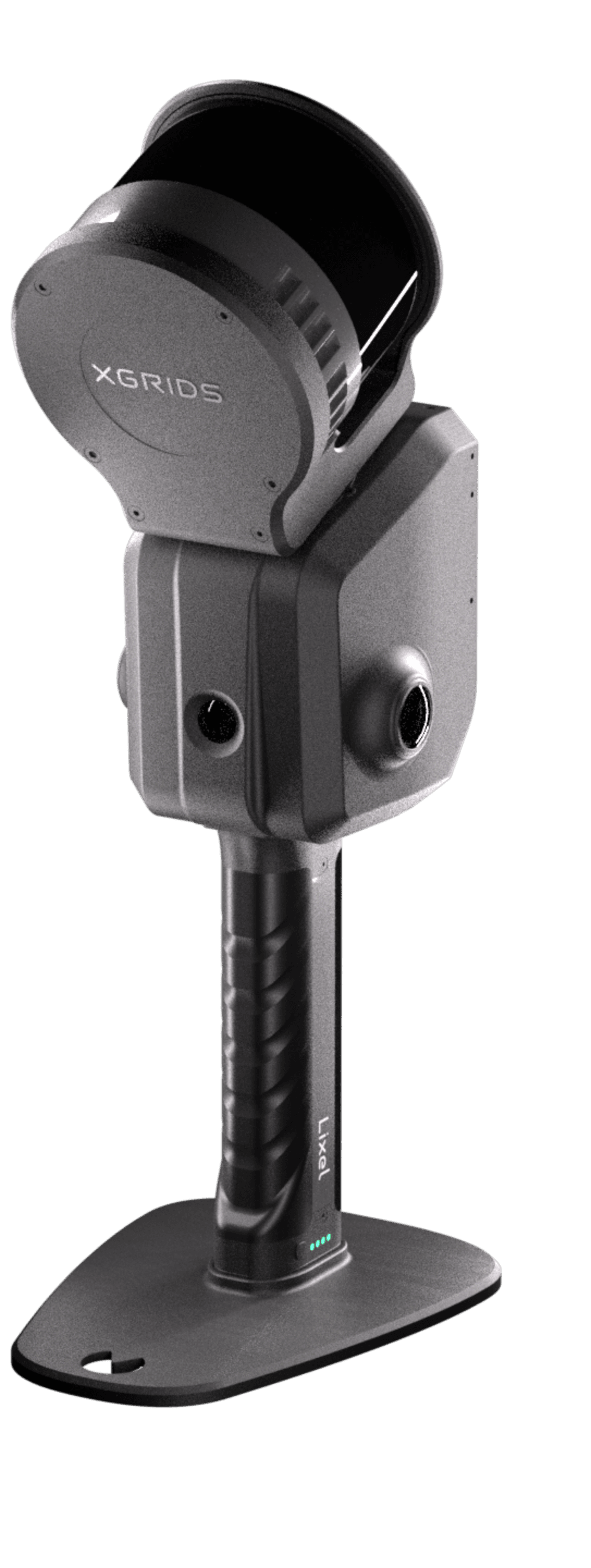
XGRIDS Lixel L2 Pro
Long range on foot, on a vehicle or on a drone, for corridors and open sites.
View the Lixel L2 Pro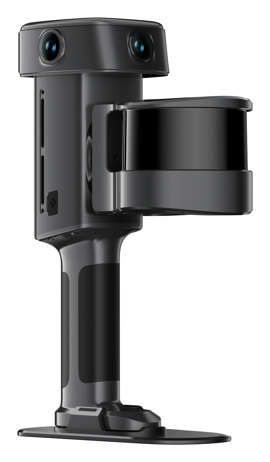
XGRIDS Lixel L3
Footpath detail at 2 cm absolute with RTK. Vehicle and DJI M400 mounts are expected late November to early December 2026.
View the Lixel L3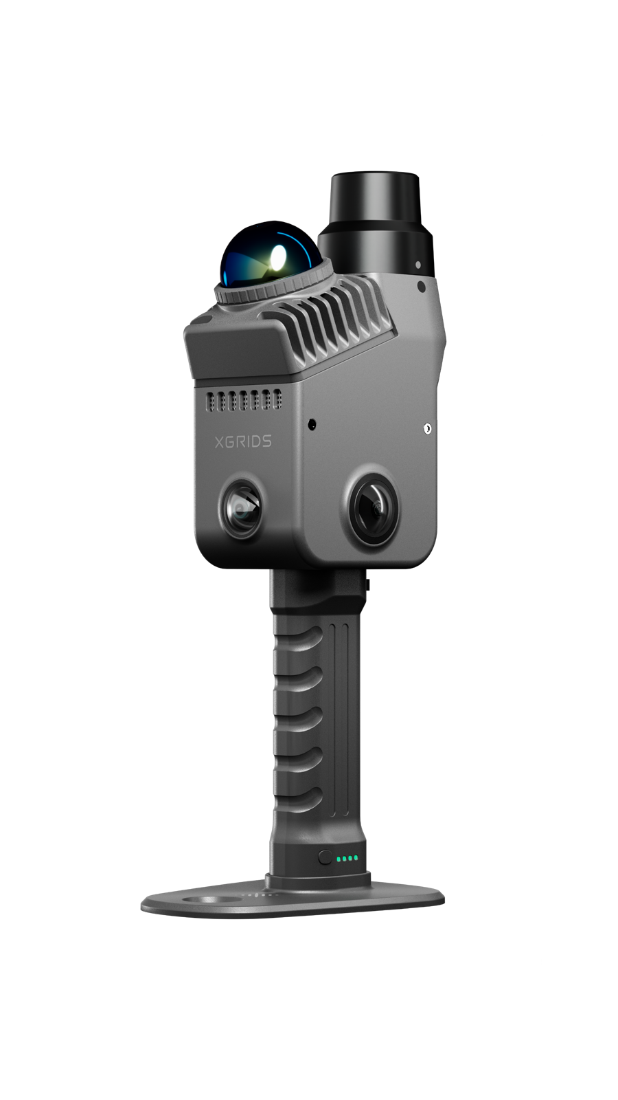
XGRIDS Lixel K2
Light and quick for structures, crossings and stage-by-stage QA.
View the Lixel K2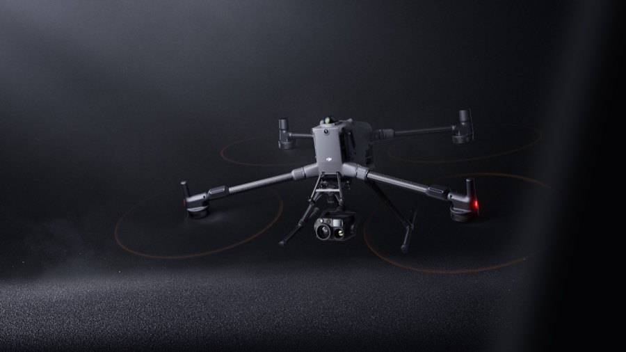
DJI Enterprise
Aerial context for fusion with ground capture. A supporting line, flown with the L2 Pro.
View the DJI EnterpriseBuilt for corridors, tunnels and structures
XGRIDS footage of the Lixel L3 where GNSS and SLAM usually struggle.
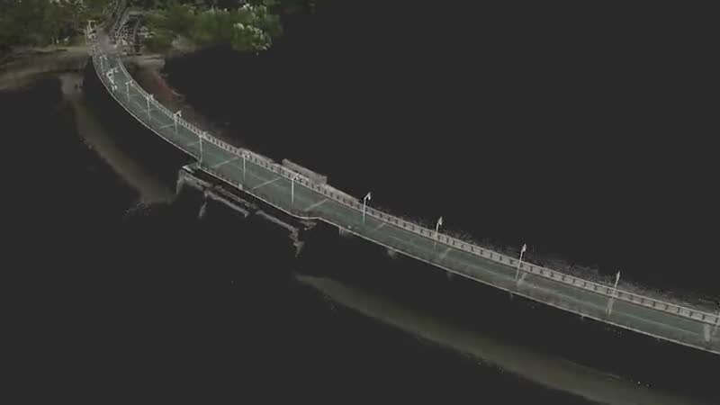
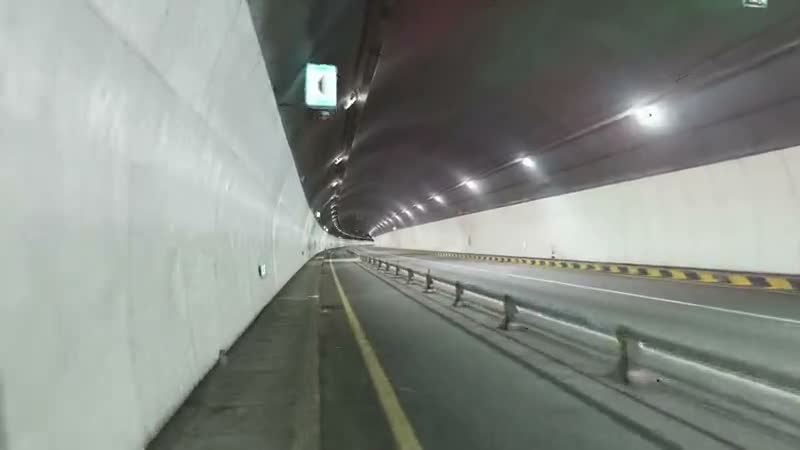
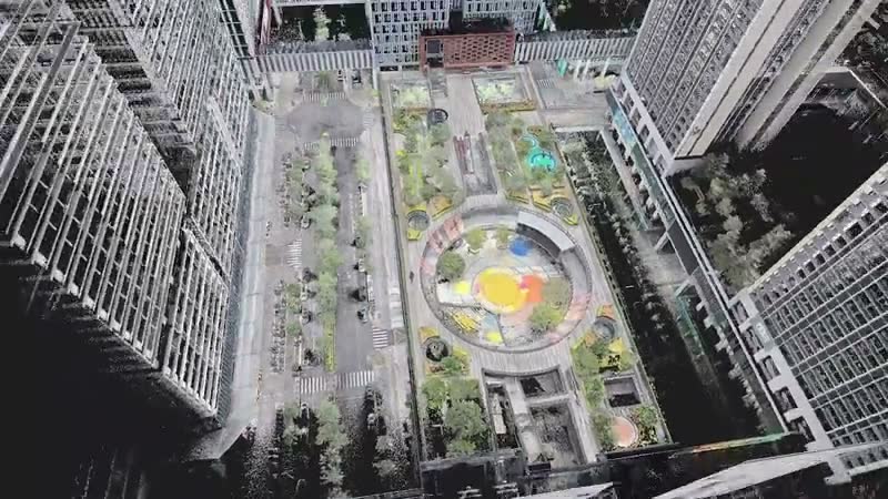
Product footage: XGRIDS, not AECT project work.
Proof from Australian corridors
Captured by our crews on live Queensland infrastructure.

Gold Coast Highway: a live highway corridor, captured without a lane closure
One operator walked a live stretch of the Gold Coast Highway from the pedestrian path in a single pass of about 10 minutes. The point cloud, 3DGS model and asset vectors were published within a day, and the road never closed.
Read the case study
Mooloolaba seawall: one asset, captured through construction
Seawall works at Mooloolaba captured at three stages with a Lixel K2, from early works to near completion, so the project team can step through the build in a browser.
Read the case study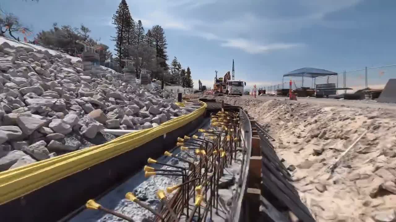
Aerial and ground fusion: drone and ground capture, fused into one model
A DJI Matrice 4E captured a sports ground from above while an XGRIDS Lixel L2 Pro captured it at ground level. The two were fused into one photoreal 3DGS model with no blind spots, open in any browser.
Read the case studyThree ways to start
Corridor demo
We capture a short stretch of your corridor and show every team the same model.
Book a site demoCapture for you
Send the extent and the deliverables. We plan, capture and process, with no lane closure on most corridors.
Request a quoteEquip your crews
Buy, or hire an L2 Pro or K2 first. Onboarding and local support come with every unit.
See hire optionsCommon questions
Do you need a lane closure?
Usually not. Most corridors are captured from the footpath or from a vehicle travelling with traffic. Site rules and your traffic management plan still apply.
How accurate is the corridor data?
It depends on the scanner and the control. With RTK, the Lixel L3 is specified at 2 cm absolute. Where the job calls for it, we check the cloud against total-station shots and report the result.
Can it go into our GIS and asset register?
Yes. You get georeferenced LAS, LAZ or E57 point clouds in GDA2020 / MGA, vector layers for features such as poles, lines and kerbs, and a 3DGS model your team opens in a browser.
Can the Lixel L3 go on a vehicle or a drone?
Vehicle and DJI M400 mounts for the Lixel L3 are expected late November to early December 2026. Today the L2 Pro covers vehicle and drone capture.
Where is the data processed and stored?
We process onshore in Queensland, hosted models sit on AWS Sydney with LCC Premium, and faces and number plates can be blurred before anything is shared.
Pick a corridor
We’ll capture a stretch of it and put the model in front of every team that needs it.
Book a site demo