Gold Coast Highway — 3DGS Verification Loop
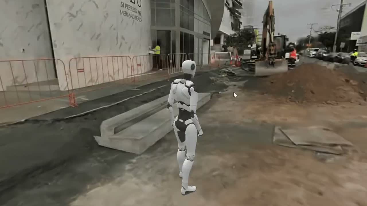
A live highway corridor, captured in a single ~10-minute pass — RTK + SLAM LiDAR + camera array, walked entirely from the pedestrian path. Processed onshore in QLD into a georeferenced point cloud and a photoreal 3DGS model, with vector data extracted and the model published within a day — by one person.

A live highway corridor cannot be closed for survey. Traditional methods need lane closures, traffic control, and repeat site visits — slow, costly, and a safety exposure.
And the deliverable usually can’t be checked by everyone who needs it — QA, HSE, as-built, GIS and survey teams each wait their turn, often on separate site visits.
One pass. Verified by everyone.
- 01A quick ~10-minute single pass — RTK + SLAM LiDAR + camera array — captured entirely on foot from the pedestrian path.
- 02Processed onshore in QLD to both a georeferenced point cloud and a photoreal 3DGS model.
- 03Vector data and asset extraction, straight from the captured data.
- 04Model published and shareable — all within a day, by a single-person team.
The win wasn’t how pretty the model was — it was uninterrupted live traffic. The road never closed.
The same dataset, remotely verified by multiple teams:
The same dataset can be remotely verified by multiple teams — and packaged as a georeferenced evidence pack that supported sign-off.
And the same georeferenced dataset plans and audits the work itself:
See the Result

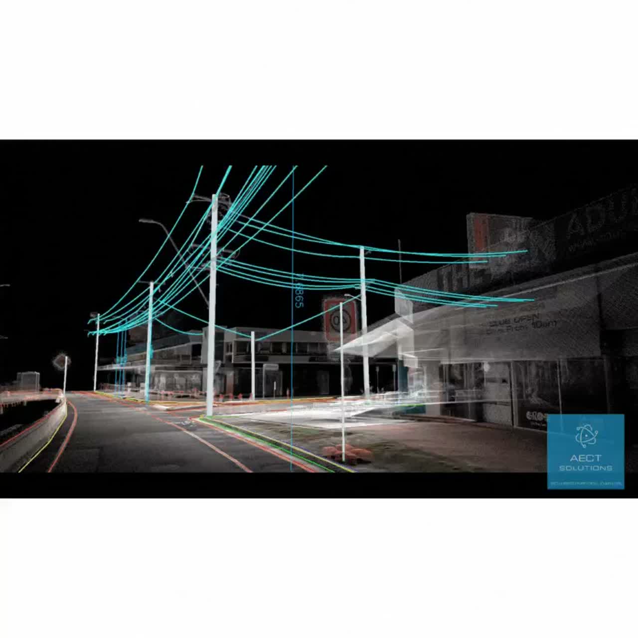
- →Georeferenced point cloud (LAS / E57)
- →Photoreal 3DGS model (.lcc / web)
- →Extracted vector asset data
- →Georeferenced evidence pack
Have a project like this?
Tell us about your site, deliverables, and timeline — we'll show you what's possible.