Accurate Data Without
Putting People at Risk.
Aerial LiDAR and drone mapping that delivers engineering-grade accuracy while keeping your crew out of hazardous zones.
What the Industry Struggles With
High-risk environments demand better data capture methods.
Site Access & Safety Risk
Sending crews into active mining pits, elevated structures, or live corridors creates WHS exposure that slows projects and increases liability.
Data Currency
Surveys taken monthly — or quarterly — become stale within days. Decisions made on outdated data compound into costly errors downstream.
Volume Accuracy
Traditional ground-based stockpile measurements introduce significant human error, leading to inaccurate inventory reporting and reconciliation failures.
How AECT Addresses It
Continuous, safety-first aerial data capture that replaces boots-on-ground risk.
Aerial LiDAR Regular Capture
Establish a repeatable drone capture cadence across your site. Weekly or fortnightly flights create a living dataset that keeps pace with operations.
Volumetric Stockpile Analysis
Generate survey-grade volume calculations from aerial LiDAR in hours, not days. Compare cut/fill against design with centimetre-level confidence.
Corridor Mapping
Capture kilometres of road, rail, or pipeline corridor in a single mission. Deliver DTM, cross-sections, and clearance analysis from one flight.
Safety-First Documentation
Remove personnel from hazardous zones entirely. Drones and LiDAR capture the data — your team stays on safe ground with ISO-certified evidence packs.
Equipment & Software
Lixel L2 Pro
Long-range LiDAR scanner for large-area capture
DJI M350 RTK
Enterprise drone platform with cm-level positioning
RTK / GNSS
Real-Time Kinematic positioning for survey-grade accuracy
LCC Studio
Point cloud processing and volumetric analysis
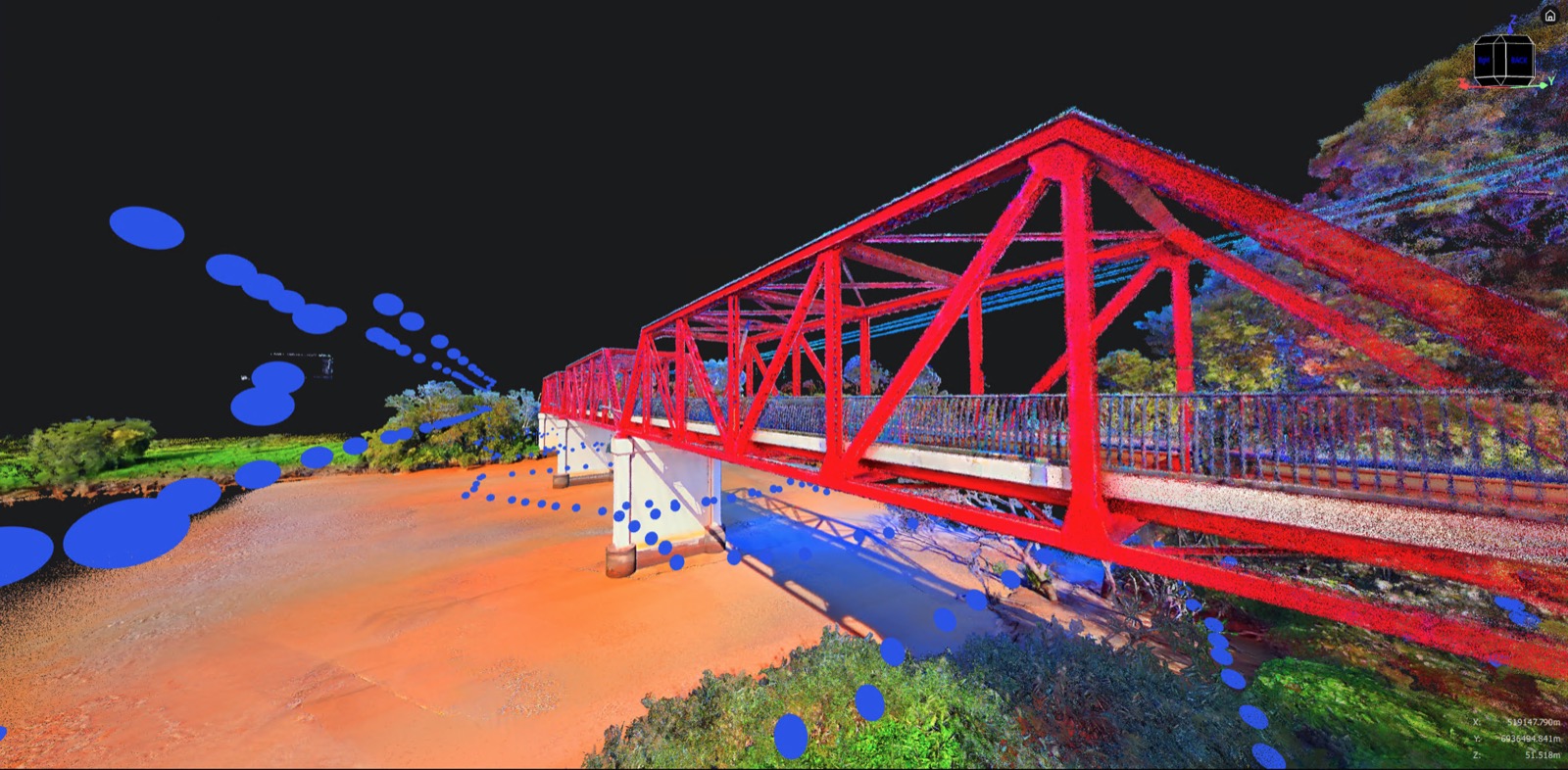
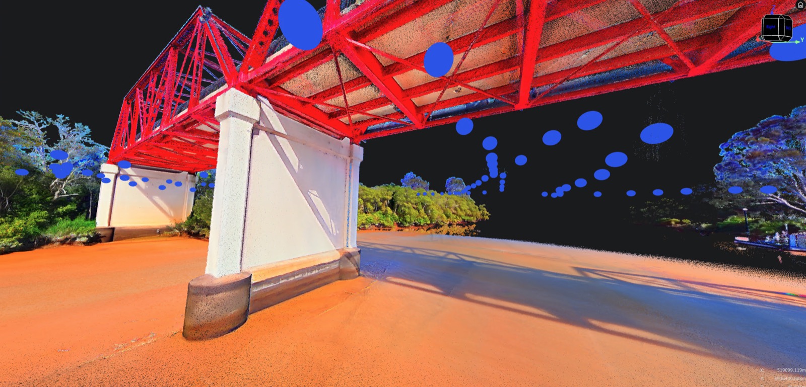
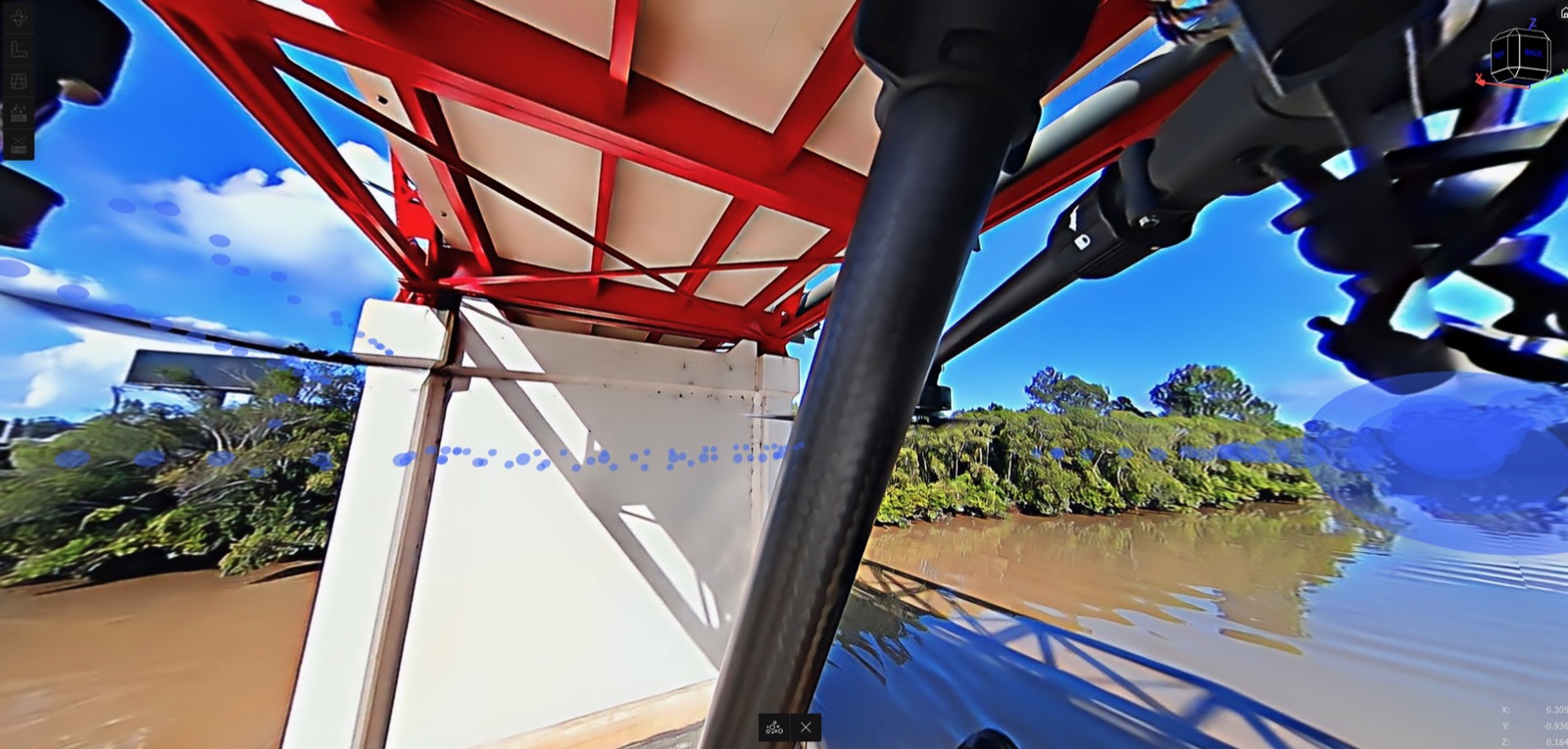
Real Council Infrastructure in 3D
Seawall and coastal-protection projects on the Sunshine Coast — surveyed, inspected, and documented in 3D Gaussian Splatting.
Need Safer, Faster Site Data?
See how aerial LiDAR and regular capture cadence can transform your operations.