Your Scan Trains the Robot
AECT is Australia's capture layer for NVIDIA's Physical AI stack. We provide the real-world data that makes autonomous systems work — from mine sites to construction corridors.
The Next Wave Isn't Digital-Only
Every AI conversation in Australia is about LLMs and chatbots. But the next wave is physical — robots navigating mine sites, drones inspecting infrastructure autonomously, digital twins that simulate and predict rather than just visualise.
NVIDIA laid out the full Physical AI stack at GTC 2026. Every component is either GA or open source. And XGRIDS — which AECT distributes nationally — is named in the stack as the capture hardware feeding NuRec Neural Reconstruction.
"The Lixel L2 Pro in our warehouse isn't just a LiDAR scanner — it's the capture layer of NVIDIA's Physical AI stack."
— Jacob Lee, Founder & Director, AECT Solutions
Australia's Physical AI Advantage
Physical assets that need scanning
Mining, infrastructure, defence, agriculture — some of the most complex environments on earth
Regulatory push
CASA BVLOS approvals · SafeWork automation · Defence sovereign capability requirements
Data sovereignty imperative
Onshore capture, processing, and training — no offshore dependency
The missing piece — until now
Capture-to-simulation pipeline deployed locally, supported by an Australian team
The Full Closed-Loop Pipeline
Seven steps from a real-world scan to a deployed robot — AECT provides step one, which makes all the others possible.
Capture
XGRIDS L2 Pro / K1 / PortalCam · RTK DroneAECT delivers full-scale aerial and ground capture in a single mobilisation. Survey Grade RTK Enterprise Drone for large-area aerial data + 3DGS, handheld PortalCam / K1 / L2 Pro for GPS-denied indoor and underground environments, PortalCam for photorealistic close-range documentation — all RTK-georeferenced to survey grade.
Reconstruct
NVIDIA NuRec → OpenUSDNeural Reconstruction converts the 3DGS capture into a photorealistic, physics-ready OpenUSD simulation asset.
Simulate
Isaac Lab · Newton 1.0Newton 1.0 (252× faster than MuJoCo) trains robot policies inside your reconstructed environment at GPU speed.
Navigate
COMPASS · Zero-shot sim-to-realCOMPASS transfers trained policies to five real robot types — H1, Spot, Carter, G1, Digit — without re-training.
Localise
cuVSLAM · Open SourceGPU-accelerated Visual SLAM enables drift-free localisation for autonomous navigation in complex environments.
Evaluate
RoboFinals · Isaac ArenaIndustrial benchmarking across thousands of parallel evaluation episodes — mining, construction, logistics.
Render
Omniverse RTX · 4K@60fpsOmniverse 108.0 renders 3DGS captures natively via RTX Real-Time 2.0 — path-traced, multi-client streaming.
of edge-scenario AI training data will be synthetic
Today it's 20%. Synthetic data is generated from exactly this kind of reconstructed environment. The organisations scanning their physical assets right now are building tomorrow's AI training datasets — whether they know it or not.
Source: Gartner · Referenced at NVIDIA GTC 2026
Where This Applies in Australia
Australia has the physical assets that need scanning most — and the regulatory environment to deploy first.
Mining & Resources
Autonomous haul truck navigation trained from real pit scans
Underground navigation policies for confined, GPS-denied spaces
Stockpile volumetrics + change detection in the same capture
Zero-shot deployment — no site re-training required
Construction & Infrastructure
As-built verification scans become robot inspection environments
Autonomous scaffold inspection and defect detection training
Drone corridor mapping feeding infrastructure digital twins
Pre-pour inspections with audit-ready evidence packs
Defence & Government
100% sovereign data — onshore capture, processing, training
Classified environment scanning with no offshore dependency
Autonomous vehicle navigation in complex terrain
Meets CASA BVLOS and SafeWork automation requirements
Agriculture & Environment
Large-area aerial capture for precision agriculture AI models
Environmental baseline datasets for synthetic training data
Autonomous farm vehicle navigation from aerial scans
DSM/DEM generation for flood modelling and irrigation planning
XGRIDS — The Capture Layer
Three devices. Every physical environment. All feeding the same NVIDIA NuRec pipeline.
Lixel L2 Pro
Outdoor · Aerial · Large-Area
640K pts/sec · 300m range · Drone-mountable
Best for
Mining · Infrastructure · Aerial + Ground Capture
Lixel K1
Indoor · GPS-denied · Handheld
200K pts/sec · ±1.2cm rel · Compact
Best for
Construction · Buildings · Underground
PortalCam
3DGS · Photorealistic · Fast
Browser-shareable · 856K pts/sec · 870g
Best for
Heritage · Interior · Training datasets
Common Questions
Q1What exactly is Physical AI?
Physical AI refers to AI systems that operate in the real world — robots, autonomous vehicles, drones. Unlike language AI, Physical AI needs to understand and navigate physical space. NVIDIA's GTC 2026 stack (Isaac Lab, COMPASS, Newton, cuVSLAM) is the leading open-source Physical AI training platform.
Q2What is AECT's role in the Physical AI stack?
AECT provides the capture layer — the first and most critical step. Without accurate, high-fidelity real-world data, the simulation environments are unrealistic and robot policies fail in deployment. XGRIDS hardware delivers the scan quality that NVIDIA's NuRec pipeline requires.
Q3What is Real2Sim?
Real2Sim is the process of converting a real physical environment into a simulation asset. AECT scans the site with XGRIDS hardware → NVIDIA NuRec reconstructs it as a photorealistic OpenUSD scene → Isaac Lab uses that scene to train robot navigation policies → COMPASS deploys those policies to real robots without re-training (zero-shot sim-to-real).
Q4Do I need to be building robots to benefit from this?
No. The same scan that feeds Isaac Lab also produces your survey deliverables, digital twin, BIM model, and stakeholder visualisation. Physical AI is an additional output of a capture workflow you may already need for conventional purposes.
Q5Is my data kept in Australia?
Yes. AECT's entire workflow — capture, processing, reconstruction, and training data generation — operates onshore. No data leaves Australia. This satisfies defence, government, and critical infrastructure sovereignty requirements.
Q6Which XGRIDS device is used for Physical AI workflows?
It depends on the environment. The Lixel L2 Pro is preferred for outdoor, large-area, and drone-mounted applications. The Lixel K1 handles indoor, GPS-denied, and confined-space capture. PortalCam is used for photorealistic small-space and cultural heritage documentation.
Reality Capture Meets Robotics
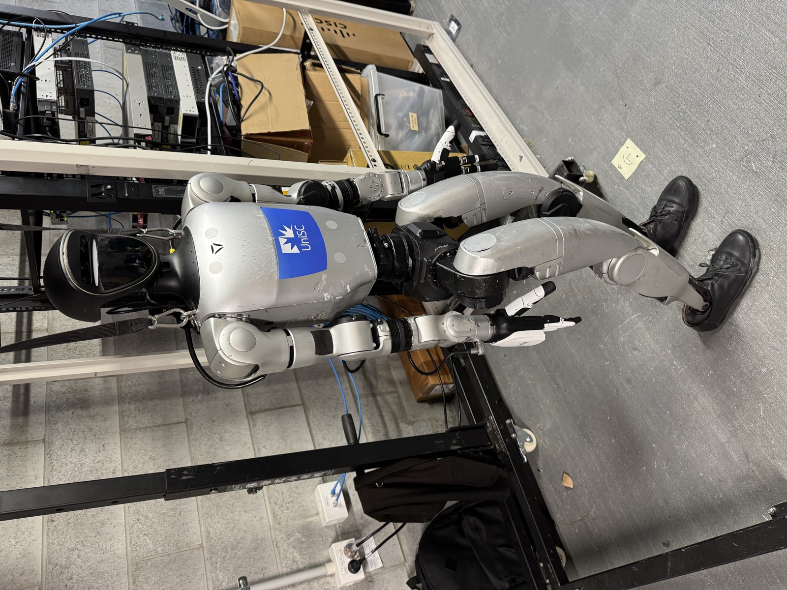
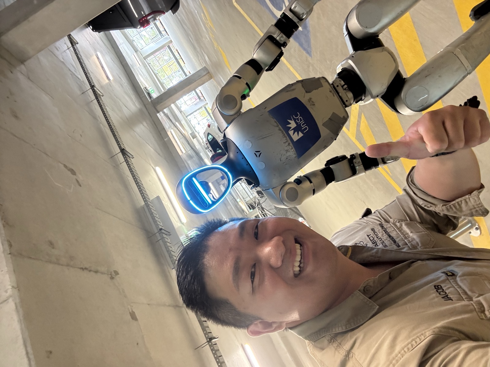
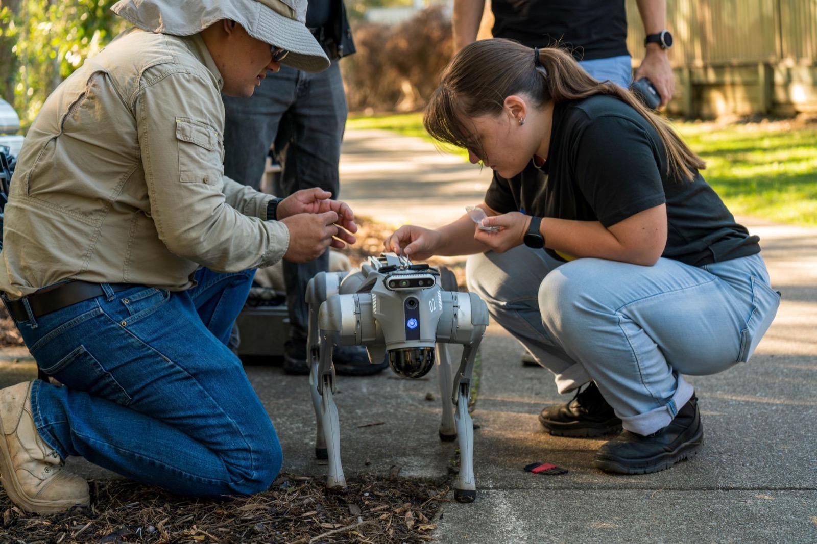
Real-world 3DGS captures drive autonomous scanning and physics simulation — the spatial layer for Physical AI.
Ready to See Real2Sim in Action?
Book a demonstration — XGRIDS → NuRec → Isaac Lab running end-to-end for your use case. Available for mining, construction, infrastructure, and defence teams.