Walk the property from anywhere, inside and out.
Photoreal 3DGS walkthroughs of homes, developments and commercial property, captured on foot and from the air, that open from a link on any device. AECT captures for you or equips your team.
What slows the work down
Photos don’t show the space
Buyers and tenants can’t judge layout, size and setting from photos.
Why it happensFlat images lose how rooms connect and where the property sits.
Tours that stop at the door
Most virtual tours jump between fixed points and leave out the outside.
Why it happens360 photo tours aren’t a continuous 3D model of the whole property.
Condition you can’t prove
The state of a property before works, at handover or after damage gets disputed.
Why it happensThere is no dated, complete record of the property.
Where AECT fits in property
Most teams start with one listing or one development, then make capture part of every campaign.
Marketing walkthroughs
A walkthrough buyers can explore at their own pace.
PortalCam inside, drone outside, fused into one 3DGS model and hosted as a link.
Developments and display homes
Show a site, a display home or a finished development in its setting.
Aerial and ground capture fused into one model of the site and its surroundings.
Dilapidation and condition records
A dated record of a property before and after works.
A Lixel K2 or L3 capture gives a measurable point cloud as well as the 3DGS.
Commercial and facilities
Floor-by-floor records for leasing, fit-out and facilities teams.
Whole floors captured on foot, with outputs for CAD and Revit.
One partner from capture to listing
We capture, process and host, or equip your photographers and agents to do it themselves.
- 01
Scope
What the property needs: marketing, a condition record, or both.
- 02
Equip and train
PortalCam for your photographers or agency, with training.
- 03
Capture
Inside on foot, outside from the air.
- 04
Process
Onshore processing into 3DGS, stills and video.
- 05
Integrate
Links and embeds for listings and websites, point clouds and plans for design teams.
- 06
Host and support
Hosting, and local support for your team.
Run all six with us, or only the stages your team doesn’t cover yet.
The right XGRIDS tool for the property
All of them share the LCC workflow, so one team can run them all.
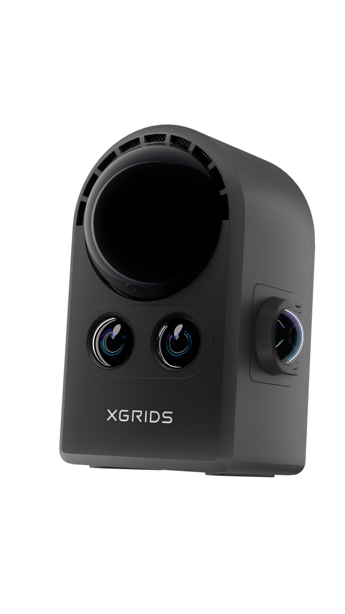
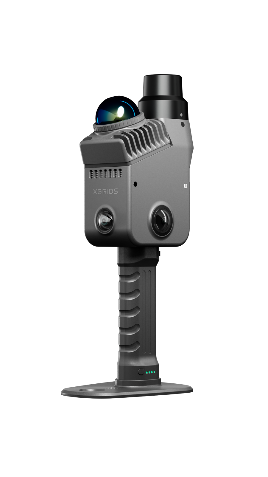
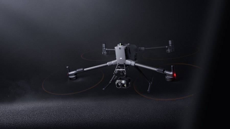
One walk, one model, every room
XGRIDS footage and images of property capture.
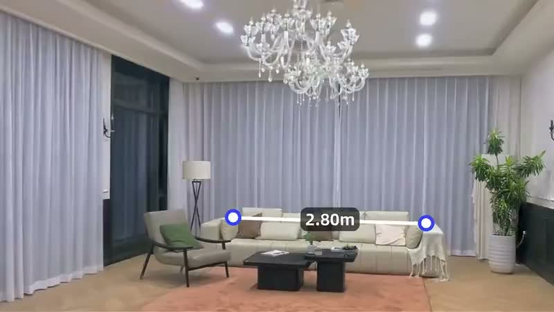
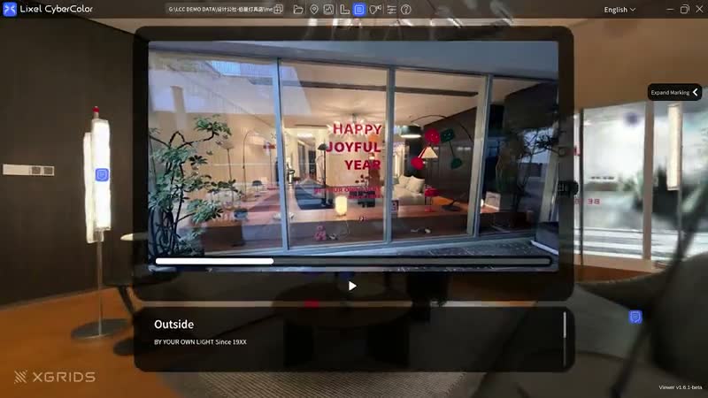
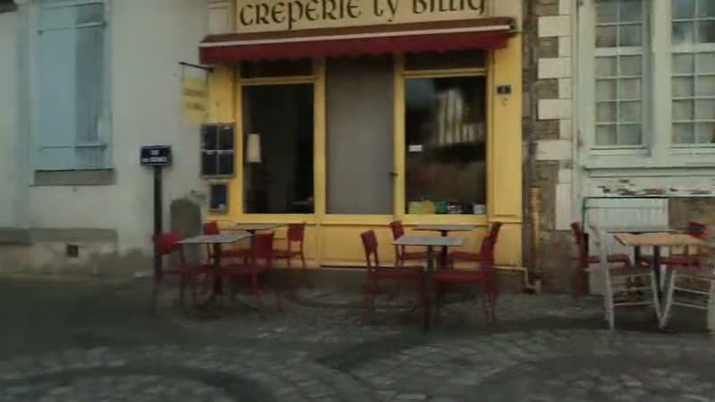
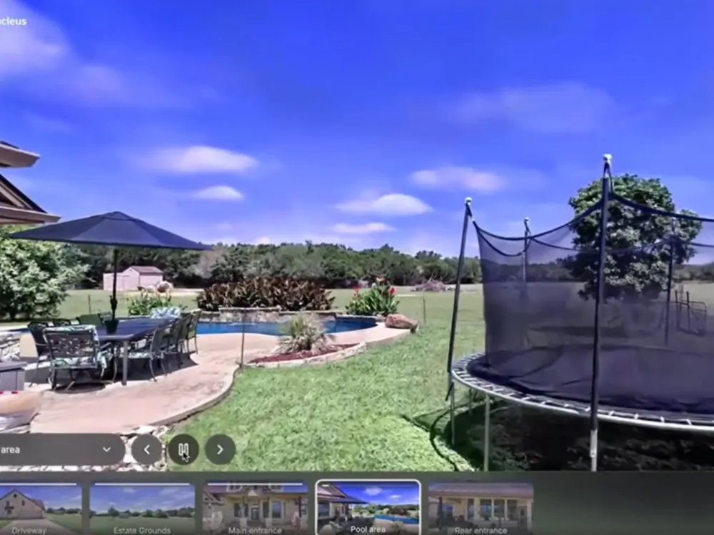
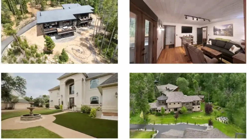
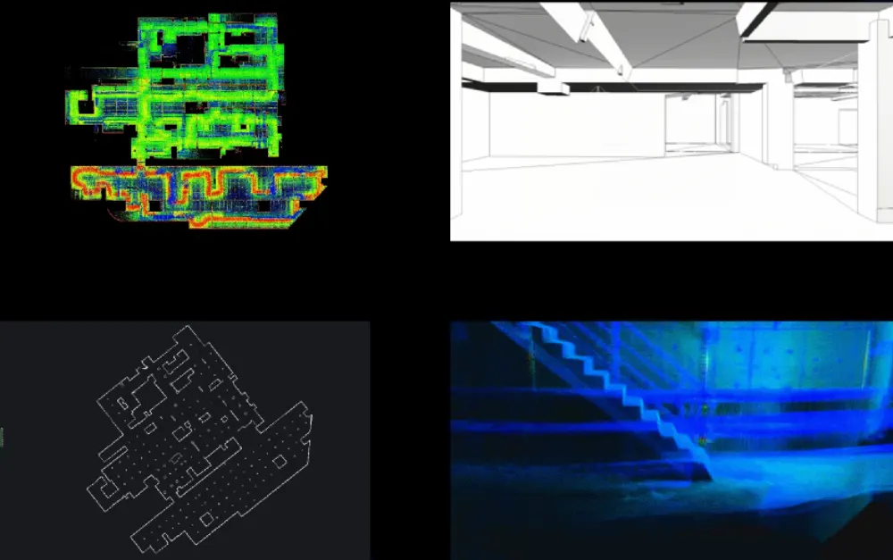
Product images and footage: XGRIDS, not AECT project work.
Proof from Australian properties
Homes, sites and buildings captured by our team.
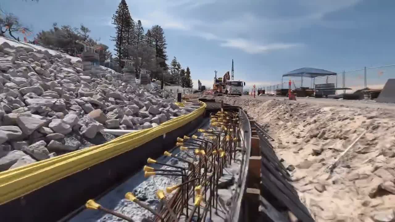
Aerial and ground fusion: drone and ground capture, fused into one model
A DJI Matrice 4E captured a sports ground from above while an XGRIDS Lixel L2 Pro captured it at ground level. The two were fused into one photoreal 3DGS model with no blind spots, open in any browser.
Read the case study
Federation Pavilion: one heritage site, two capture tiers
AECT captured the Federation Pavilion in Sydney’s Centennial Park twice, once with a Lixel K2 and once with a PortalCam, so heritage and property teams can open both and see what each tier delivers.
Read the case study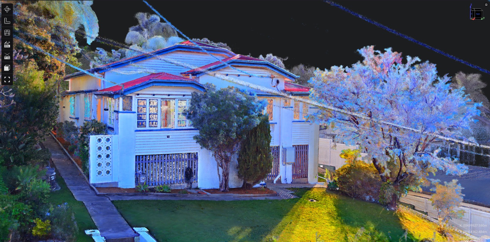
Three ways to start
Equip your team
Buy, or hire a PortalCam first. Onboarding and local support come with every unit.
See hire optionsCommon questions
Is this the same as a 360 tour?
No. A 360 tour jumps between fixed photos. A 3DGS model is a continuous 3D scene you can move through freely, inside and out.
Does it open on a phone?
Yes. Hosted scenes open from a link in the browser on phones, tablets and computers.
Can we put it on our website?
Yes. Each hosted scene can be shared as a link or embedded in a page.
Can we measure in it?
With a Lixel K2 or L3 capture, yes: measure on the point cloud. PortalCam captures are photoreal only.