Aerial-Ground Fusion 3DGS — Drone + Ground, One Model
Drone aerial capture (DJI M4E) fused with ground SLAM LiDAR (XGRIDS L2 Pro) into a single, seamless photoreal 3DGS — the overhead context and the ground-level detail that no single vantage can see, reconstructed into one model you can explore in any browser.

A drone sees extent, layout and rooftops — but not under canopy, eaves or façades. A ground scan sees the fine detail — but not the full extent or the roofline. Each vantage alone leaves blind spots.
Registering two very different datasets — aerial and ground — into one clean, gap-free model is the hard part most reality-capture workflows simply can’t do.
How We Delivered It
Aerial pass
A DJI M4E drone captured the site from above — extent, layout and rooftops.
Ground pass
An XGRIDS L2 Pro walked the site at ground level — façades, under-canopy and fine detail.
Fusion
The aerial and ground datasets were registered and fused into a single, gap-free reconstruction.
3DGS reconstruction
LCC CyberColor produced one seamless, photoreal 3D Gaussian Splat — explorable in any browser.
See the Result
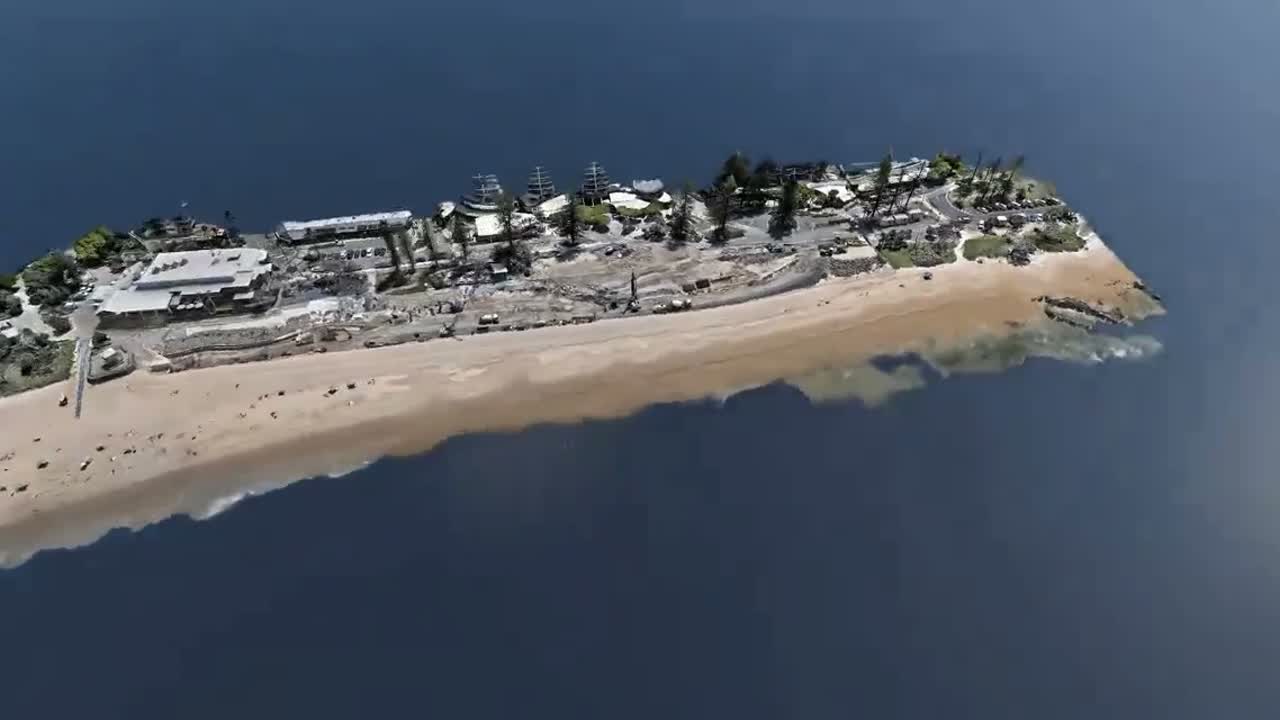
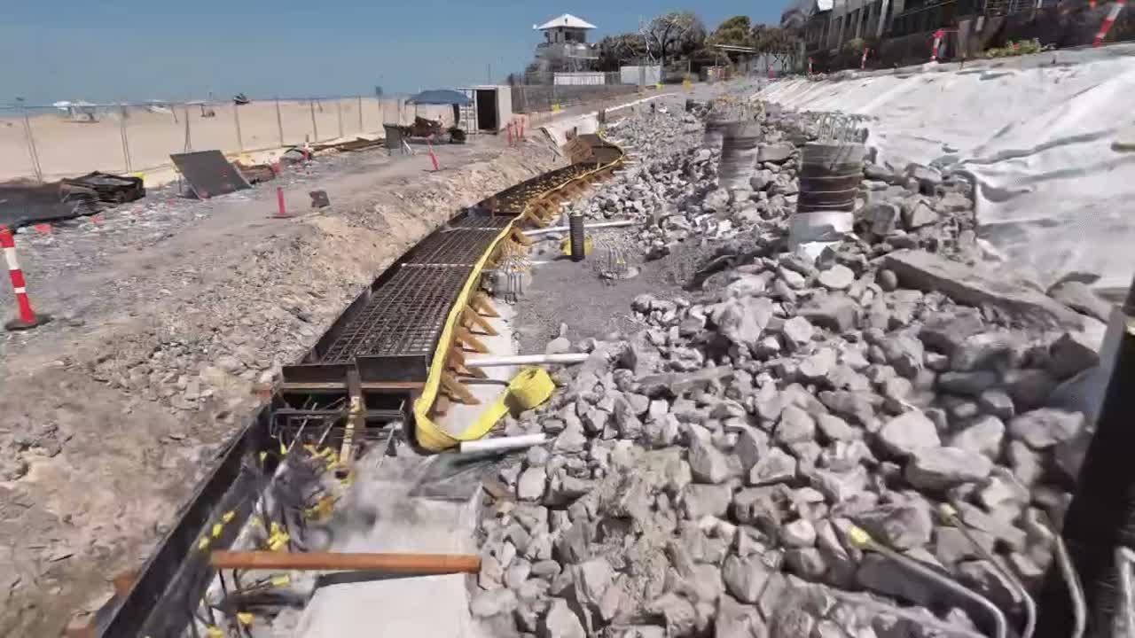
Full coverage — overhead context and ground-level detail in a single model, with no blind spots.
A photoreal 3DGS any stakeholder can open and explore in a browser — no software to install.
- →Fused point cloud (LAS / E57)
- →Photoreal 3DGS model (.lcc / web)
- →Aerial + ground coverage in one dataset
Have a project like this?
Tell us about your site, deliverables, and timeline — we'll show you what's possible.