Six Core Services
From field capture to final deliverable — every service integrates into the AECT spatial workflow. Buy the technology, rent it for a project, or let our ISO-certified team do it for you.
AI Scan-to-BIM
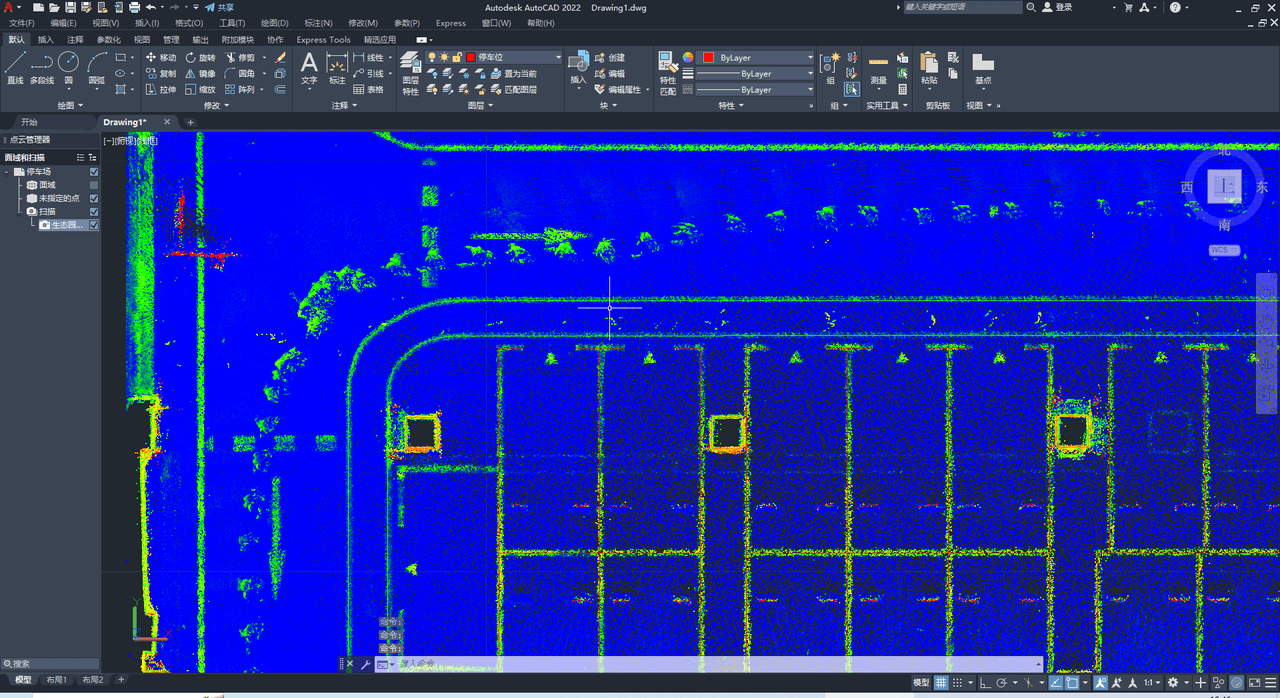
Australia’s first XGRIDS LCC for Revit service. AI auto-detection of walls, floors, ceilings, and MEP elements — 70–90% faster than traditional methods.

Aerial LiDAR Survey
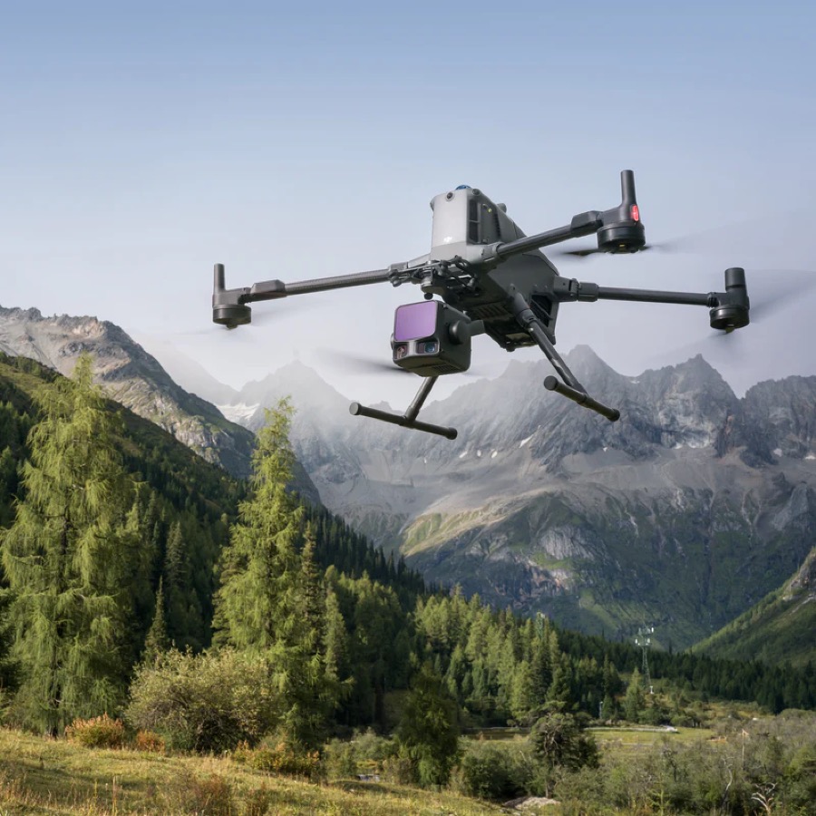
Large-area aerial mapping with DJI Matrice + XGRIDS Lixel L2 Pro. Georeferenced point clouds, DEM/DSM outputs, engineering-grade accuracy.

Handheld Reality Capture
Indoor and outdoor scanning with XGRIDS Lixel K1 SLAM. No GPS required — precision in tunnels, basements, heritage sites and dense structures.
3DGS Spatial Modelling
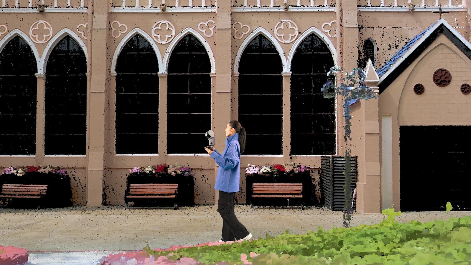
Photorealistic 3D Gaussian Splatting models using XGRIDS PortalCam. Browser-shareable, Apple Vision Pro compatible, AI training data ready.

3DGS Scanning
On-site 3D Gaussian Splatting capture service. We scan your site or asset and deliver a photorealistic, browser-shareable 3D record — no software installs for stakeholders.

Digital Twin Development
Full pipeline from field capture to operational digital twin. Integration with ArcGIS Pro, Omniverse, Revit, WebGL — sovereign Australian data processing.
CASA Flight Operations
CASA ReOC certified drone operations for survey, inspection, and monitoring. Full regulatory compliance, airspace management, and outsourced flight services.
Build Capability, Not Just Deliverables
Beyond project delivery — we help you build internal systems and upskill your team for long-term capability.
HSEQ & ISO Consulting
ISO 9001 / 14001 / 45001 Integrated Management Systems — gap analysis, implementation, internal audit, and certification support for construction & infrastructure.
3DGS Masterclass
Australia's first hands-on 3D Gaussian Splatting training. Master PortalCam, K1, and L2 Pro — from capture to delivery in 1–3 day formats.
Not Sure Which Service You Need?
Talk to our team and we will recommend the right solution for your project.