A measured, photoreal record of every heritage place.
Capture heritage buildings, interiors and settings as a point cloud you can measure and a 3DGS model anyone can walk through. AECT captures and processes, or equips your team, and hosts the record so it can be shared.
What slows the work down
Photos aren’t a measured record
Condition photos show what a place looked like, not its dimensions.
Why it happensWithout geometry you can’t measure movement, plan works or rebuild a lost detail.
Hard places to measure
Fine ornament, timber framing and tight interiors take days to measure by hand.
Why it happensSet-up by set-up methods need access, line of sight and time on site.
Records nobody can open
Scan files sit on a drive that only one specialist can use.
Why it happensPoint clouds need specialist software, so owners and the public can’t view them.
Where AECT fits in heritage work
Most teams start with one building or one interior, then build the record over time.
Conservation records
A measured baseline before works, and again after.
Lixel K2 or L3 capture inside and out, tied to survey control where the record must be georeferenced.
Interpretation and access
Let people visit a place online, or see the parts they can’t reach.
PortalCam or K2 capture, hosted as a 3DGS scene that opens from a link on any device.
Condition and maintenance
Track cracking, movement and repairs over time.
Repeat captures from the same control, compared in the point cloud.
Objects and fittings
Detailed records of monuments, objects and fittings.
Lixel L3 for fine detail, and metrology-grade SCANOLOGY scanners for objects that need finer geometry.
One partner for the whole record
We plan the capture around the place, run it, process it and host it, or equip your team to do the same.
- 01
Scope
A capture plan that respects the heritage values and access rules of the place.
- 02
Equip and train
PortalCam, Lixel K2 or L3 for your conservation or survey team, with training.
- 03
Capture
On foot inside and out, with drone capture for roofs and settings.
- 04
Process
Onshore processing in Queensland into a point cloud and a photoreal 3DGS record.
- 05
Integrate
Elevations, sections and CAD for architects, LAS and E57 for surveyors, 3D Tiles for GIS.
- 06
Host and support
Hosted records anyone can open from a link, and local support.
Run all six with us, or only the stages your team doesn’t cover yet.
The right XGRIDS tool for the place
All of them share the LixelStudio and LCC workflow, so one team can run them all.
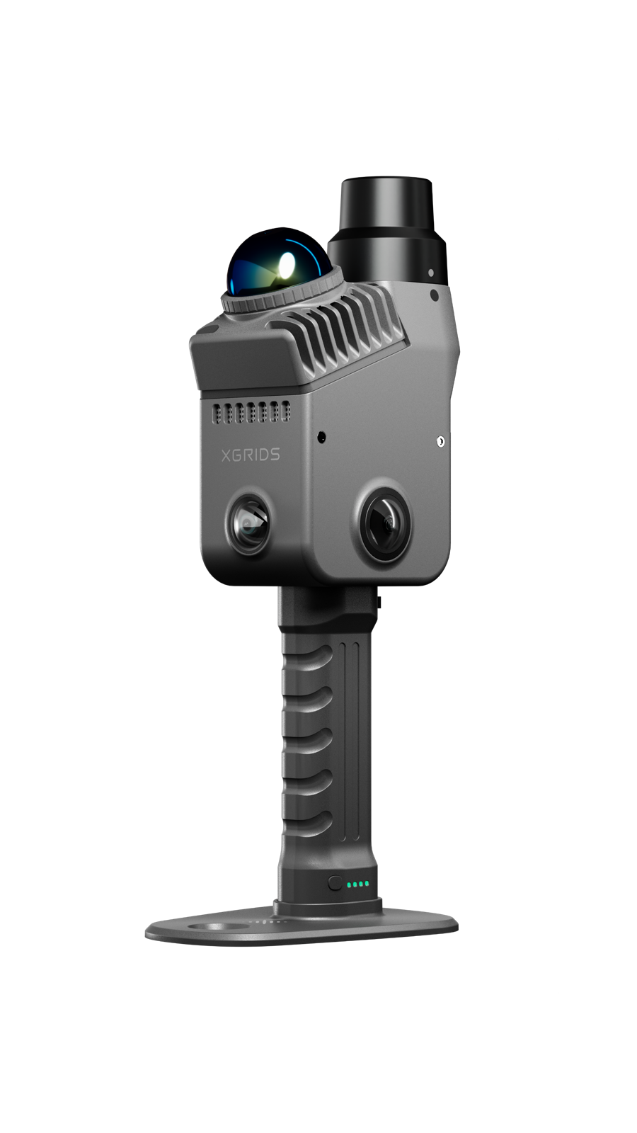
XGRIDS Lixel K2
Measured point cloud plus 3DGS, light enough for towers, roof spaces and interiors.
View the Lixel K2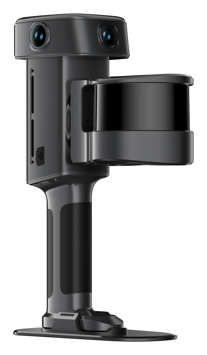
XGRIDS Lixel L3
Fine ornament and detail: 5 mm relative (1σ), 2 cm absolute with RTK.
View the Lixel L3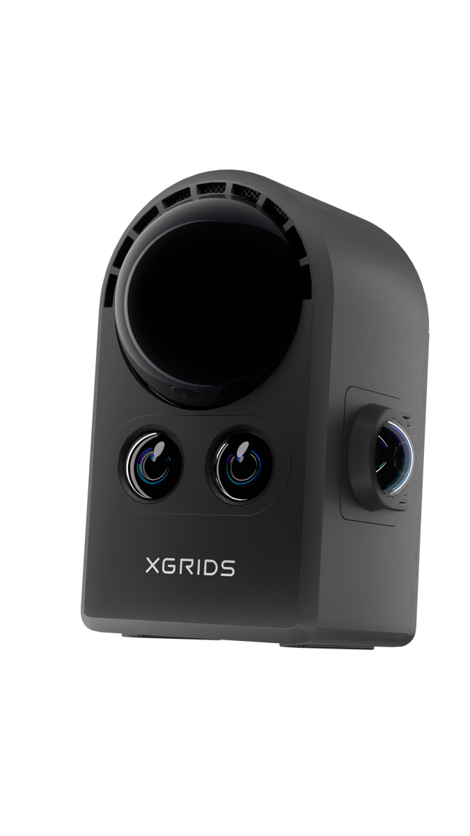
XGRIDS PortalCam
A photoreal walk-through from one loop of a place, for interpretation and sharing. No point cloud.
View the PortalCam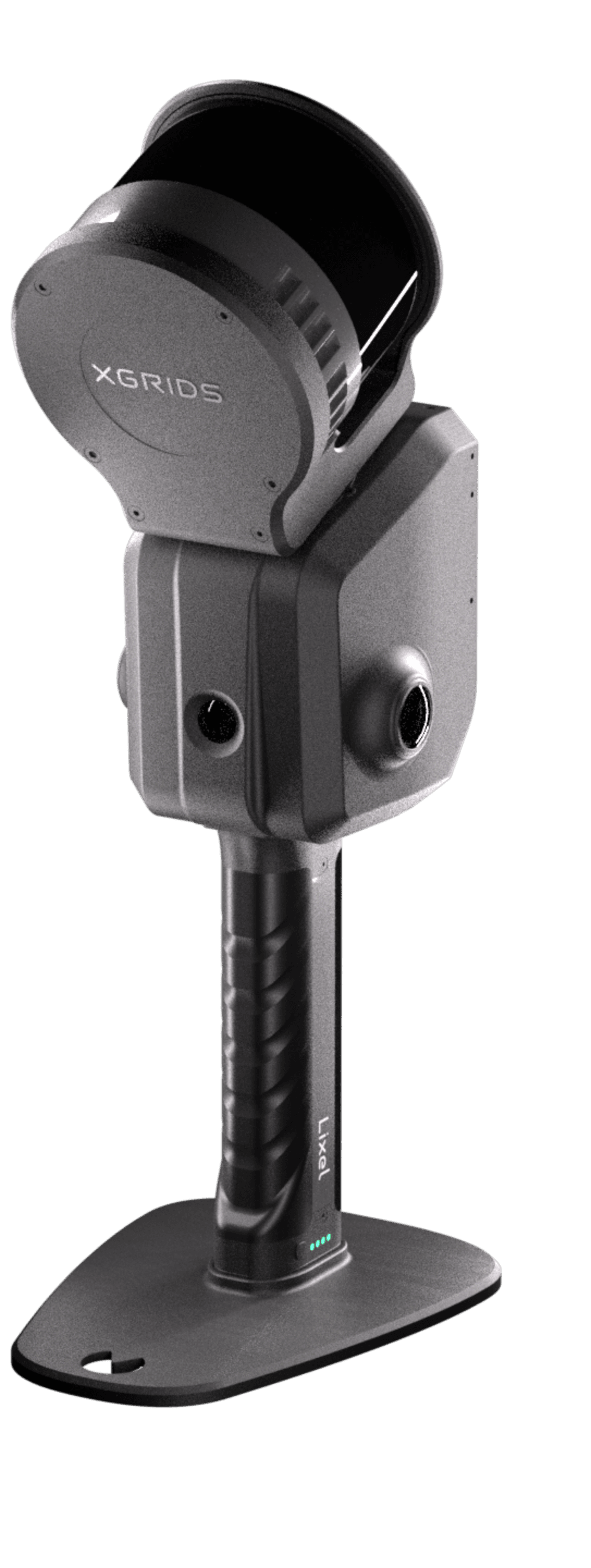
XGRIDS Lixel L2 Pro
Large grounds and settings, on foot or from a drone.
View the Lixel L2 ProPlaces recorded in full
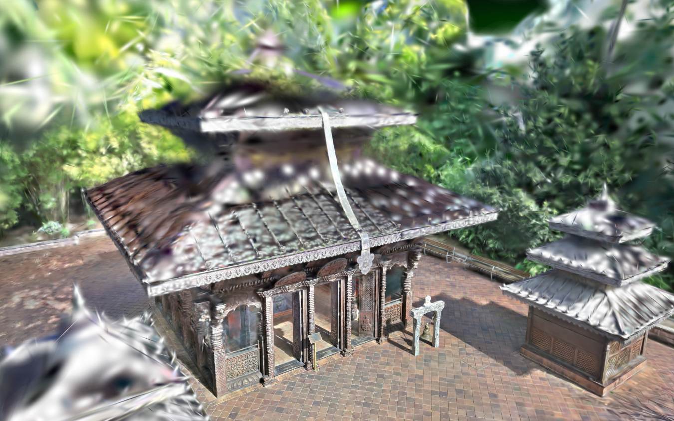
XGRIDS footage and images of precincts, facades and ruins.
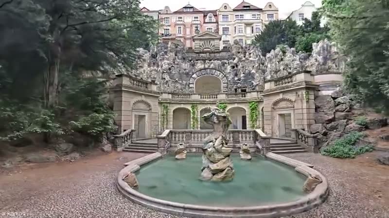
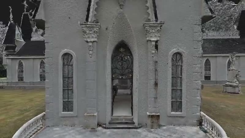
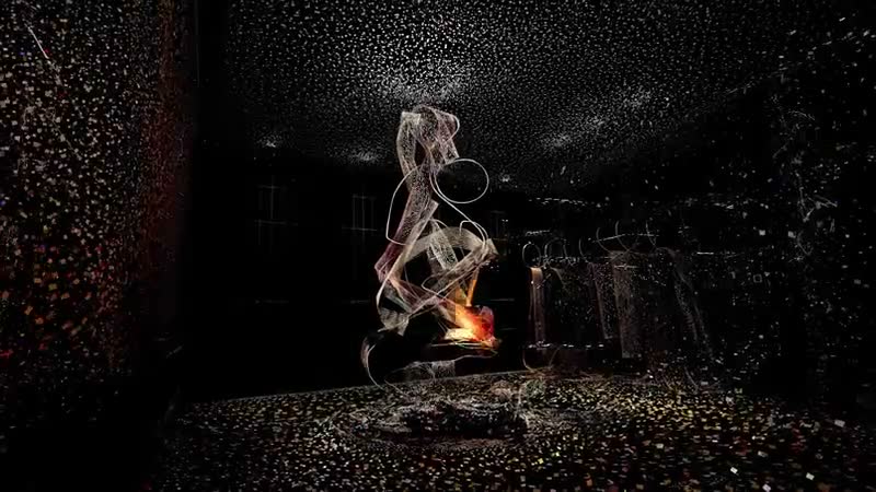
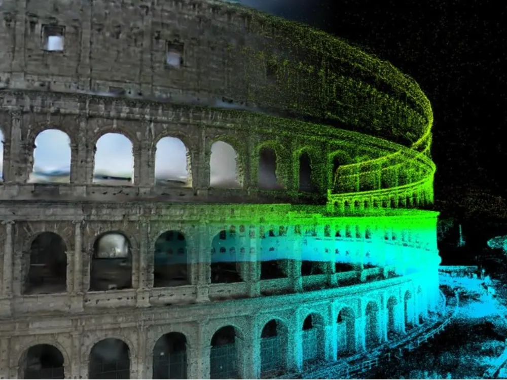
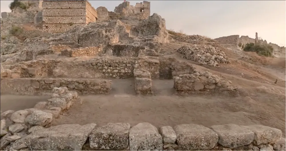
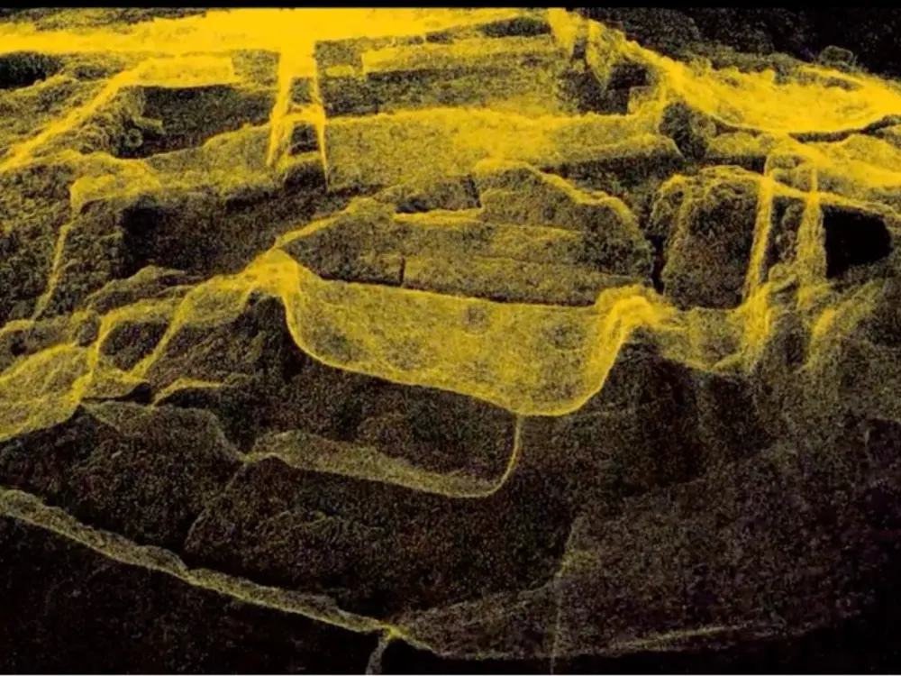
Product images and footage: XGRIDS, not AECT project work.
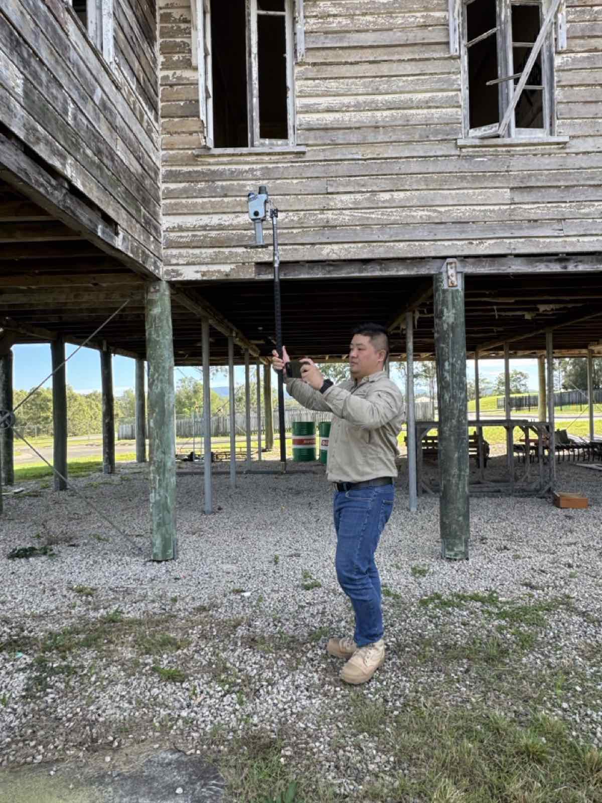
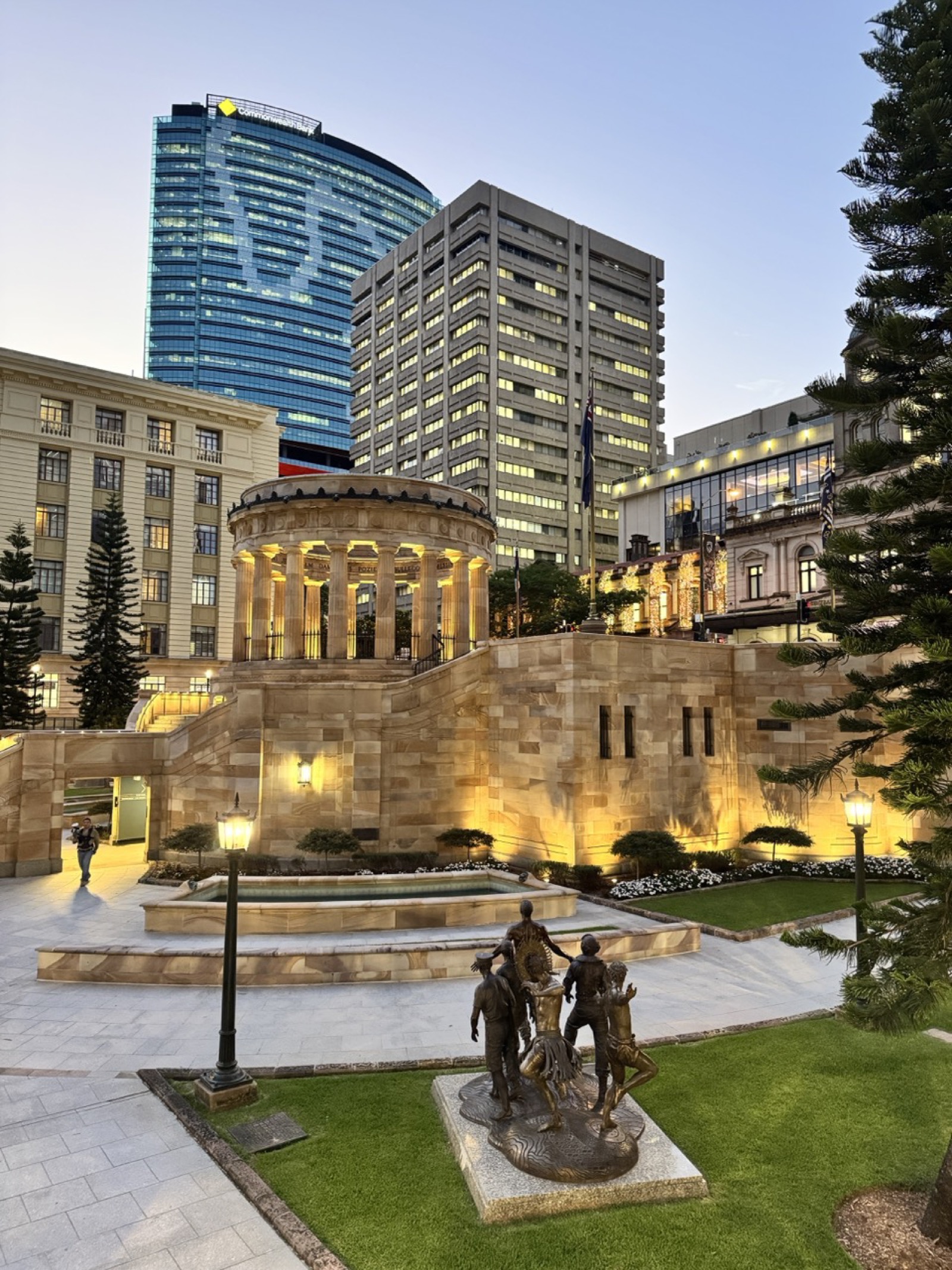
Proof from Australian heritage places
Captured by our team at landmarks in Brisbane and Sydney.

Three ways to start
Site demo
We capture part of your place and show you the measured and the photoreal record side by side.
Book a site demoCapture for you
Send the place and what the record is for. We plan, capture, process and host it.
Request a quoteEquip your team
Buy, or hire a K2 or PortalCam first. Onboarding and local support come with every unit.
See hire optionsCommon questions
Is a 3DGS model a measured record?
The point cloud is the measured record, so measure on it, not on the 3DGS model. The 3DGS model is the photoreal view anyone can open. A Lixel K2 or L3 gives you both from one capture; a PortalCam gives the photoreal view only.
Do we need GNSS inside a building?
No. SLAM capture works indoors. Tie it to survey control where the record must sit in real coordinates.
Which scanner suits a heritage consultant?
PortalCam for interpretation and quick records, Lixel K2 for measured records of buildings and interiors, Lixel L3 where fine ornament matters. We’ll show you each on your own site.
Can the public view the record?
Yes. We host 3DGS scenes that open from a link or an embed on any device, with nothing to install.
Pick a place
We’ll capture part of it and show you the measured and the photoreal record side by side.
Book a site demo