From a single plant to the whole property, in 3D.
Capture fine plant structure on the ground with a Lixel L3, and the wider property from the air. AECT supports research groups, growers and environmental teams with capture, processing and data they can analyse.
What slows the work down
Fine structure is hard to capture
Stems, branches and leaves blur or vanish in most 3D captures.
Why it happensThin structures are hard for image-only methods and sparse scans.
Measuring by hand doesn’t scale
Plant traits are still measured by hand, one plant at a time.
Why it happensThere has been no quick, portable way to capture plants in 3D.
Field data in pieces
Drone maps, ground photos and notes don’t line up.
Why it happensSeparate tools and separate coordinate systems.
Where AECT fits on farms and field sites
Most teams start with one plant, one row or one site, then plan a pilot around what they see.
Plant research and phenotyping
Portable 3D capture of plants for research.
Lixel L3 capture of single plants or rows, checked against hand measurements for the traits you study.
Glasshouses and nurseries
Capture under cover, where GNSS doesn’t reach.
SLAM works indoors and under roofs, so a glasshouse captures like any building.
Orchards, vineyards and canopies
Canopy structure along the rows.
Walk the rows with a Lixel L3 or K2, and fly the block with a drone for context.
Weeds, habitat and environmental sites
Ground truth for weed, habitat and dune work.
Handheld, robot or drone capture fused into one georeferenced dataset.
One partner through the season
We capture, process and hand over data you can analyse, or equip your team to capture it themselves.
- 01
Scope
The traits, plants or sites you need, and how often they should be captured.
- 02
Equip and train
Lixel L3 or K2 for your team, plus drone options, with training.
- 03
Capture
On foot along rows and in glasshouses, and from the air for the property.
- 04
Process
Onshore processing in Queensland into point clouds and 3DGS.
- 05
Integrate
LAS and E57 for analysis, and georeferenced layers for GIS.
- 06
Host and support
Hosted scenes, and local support through the season.
Run all six with us, or only the stages your team doesn’t cover yet.
The right tool for the plant and the property
XGRIDS on the ground, with drones as a supporting line.
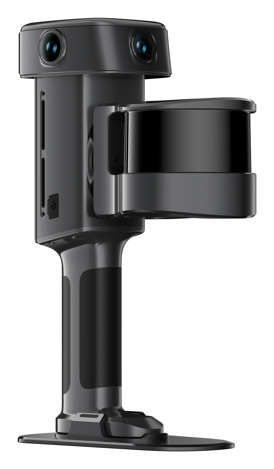
XGRIDS Lixel L3
Thin stems and branches, at 5 mm relative (1σ).
View the Lixel L3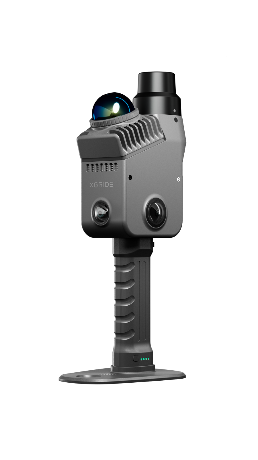
XGRIDS Lixel K2
Quick captures of rows, sheds and glasshouses.
View the Lixel K2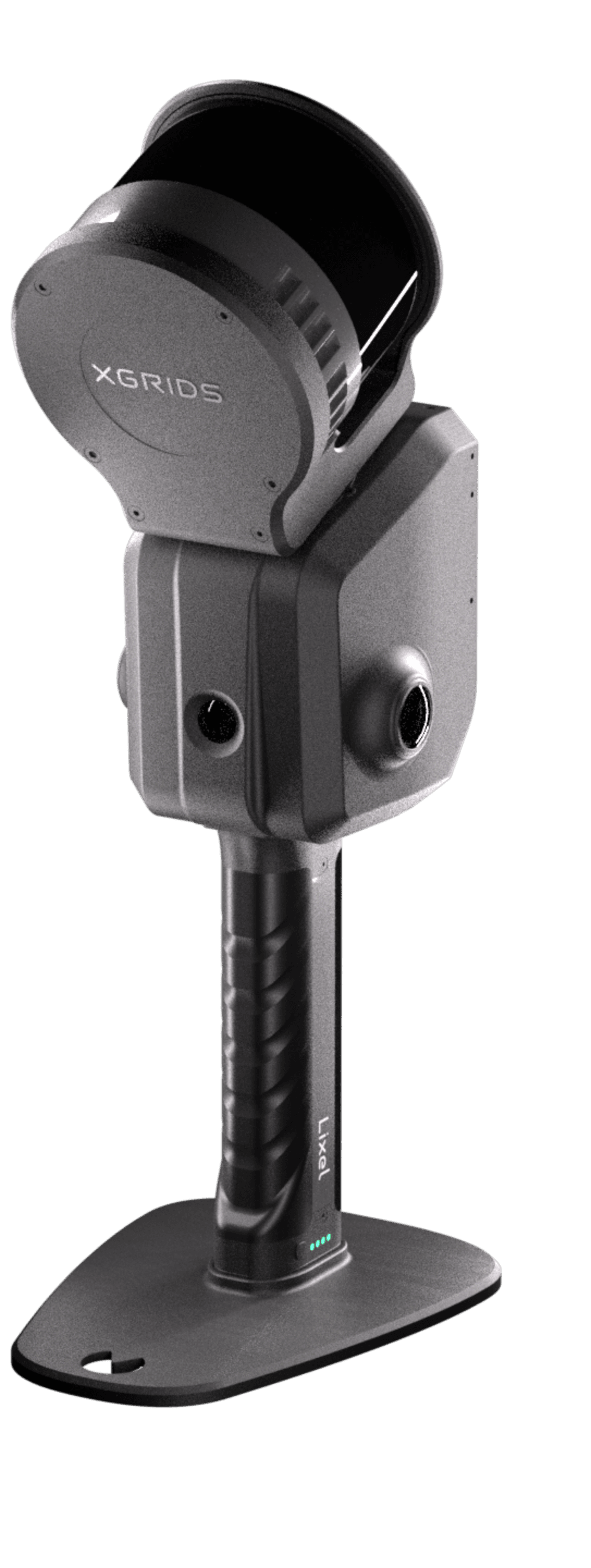
XGRIDS Lixel L2 Pro
Larger blocks and sites, on foot or from a drone.
View the Lixel L2 Pro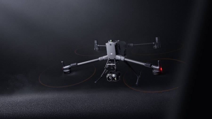
DJI Enterprise
Aerial and multispectral mapping of the property. A supporting line.
View the DJI EnterpriseForests, terrain and wildlife
XGRIDS footage and images from natural environments.
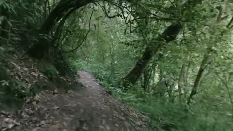
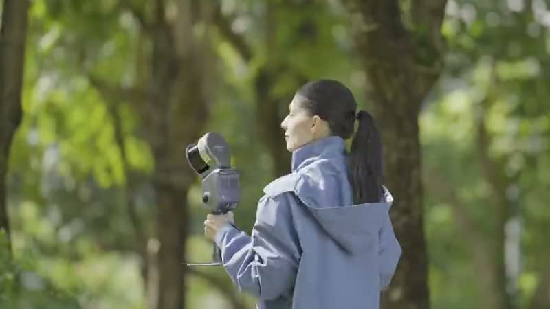
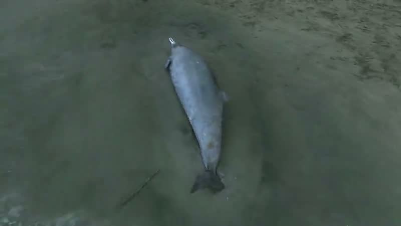
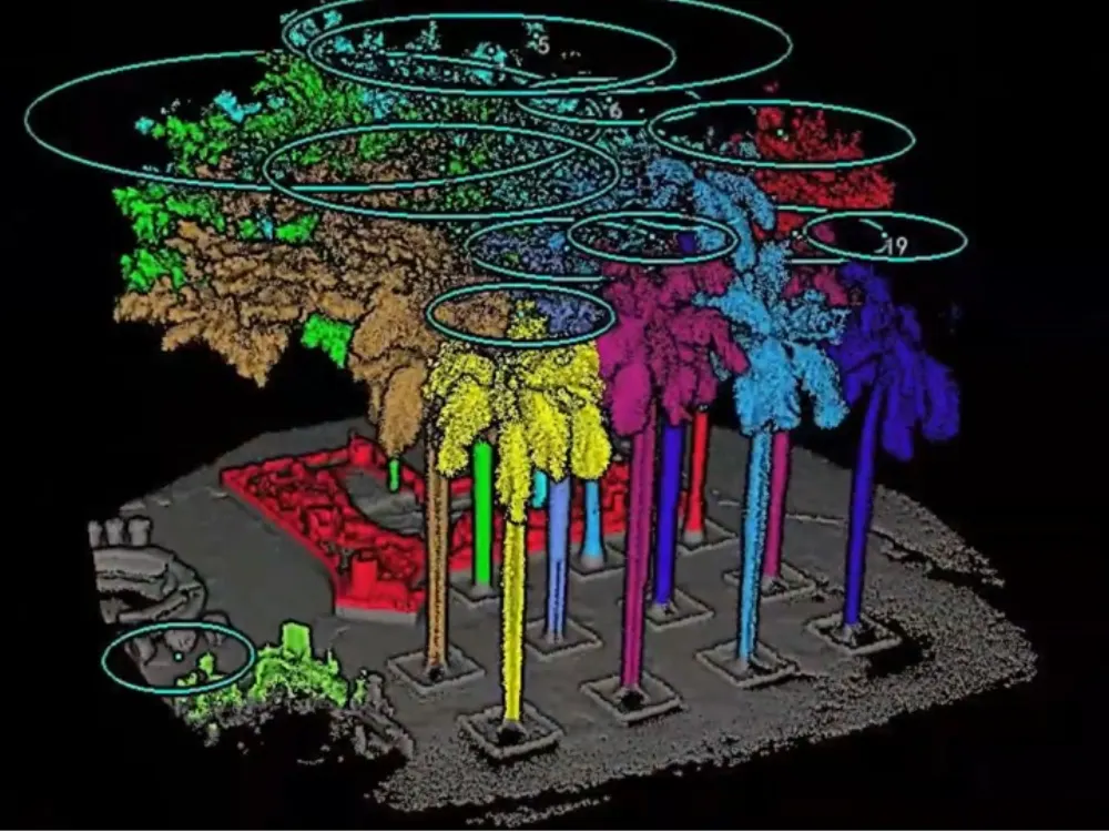
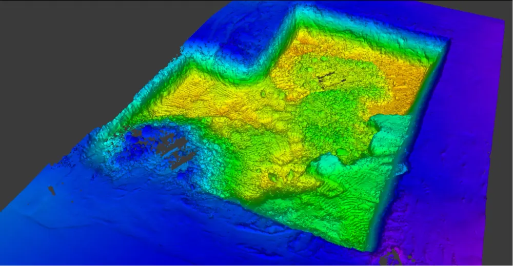
Product images and footage: XGRIDS, not AECT project work.
Proof from plants and field sites
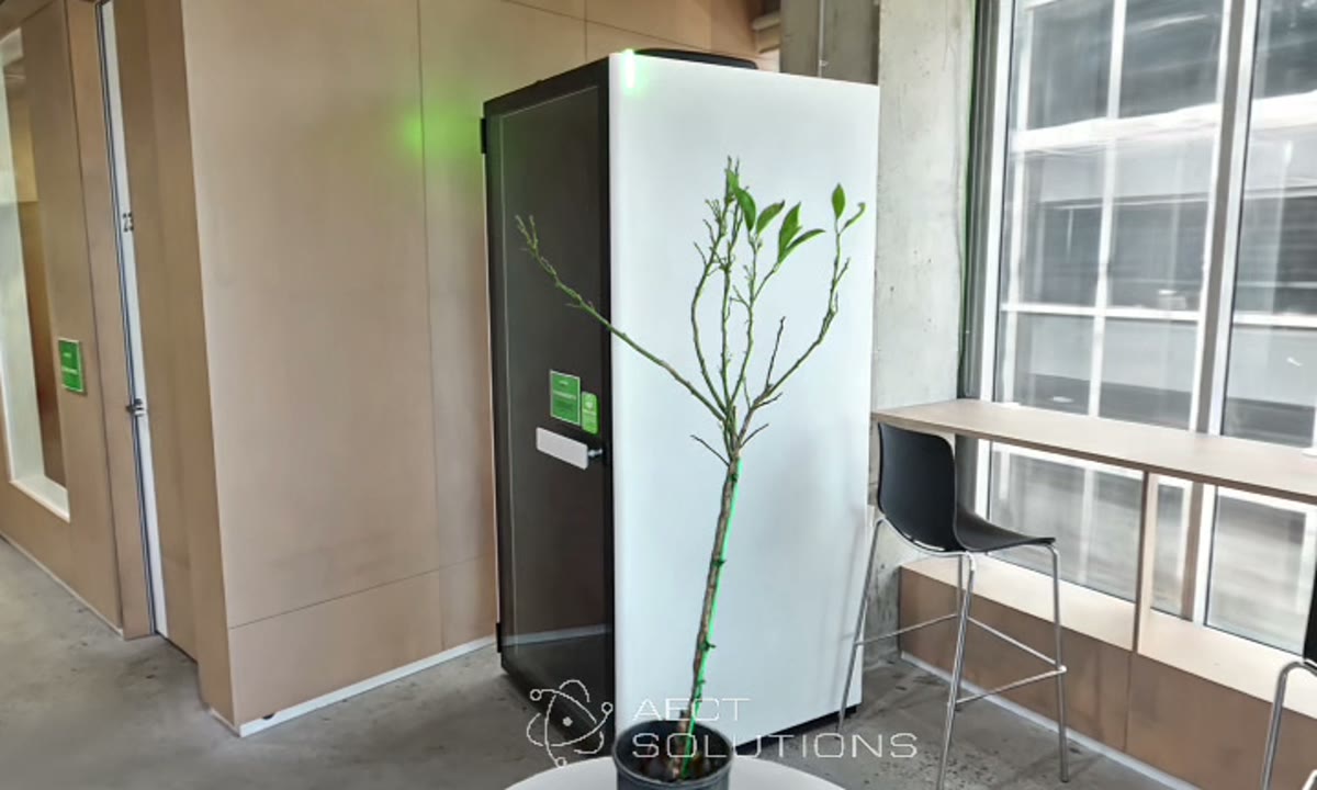
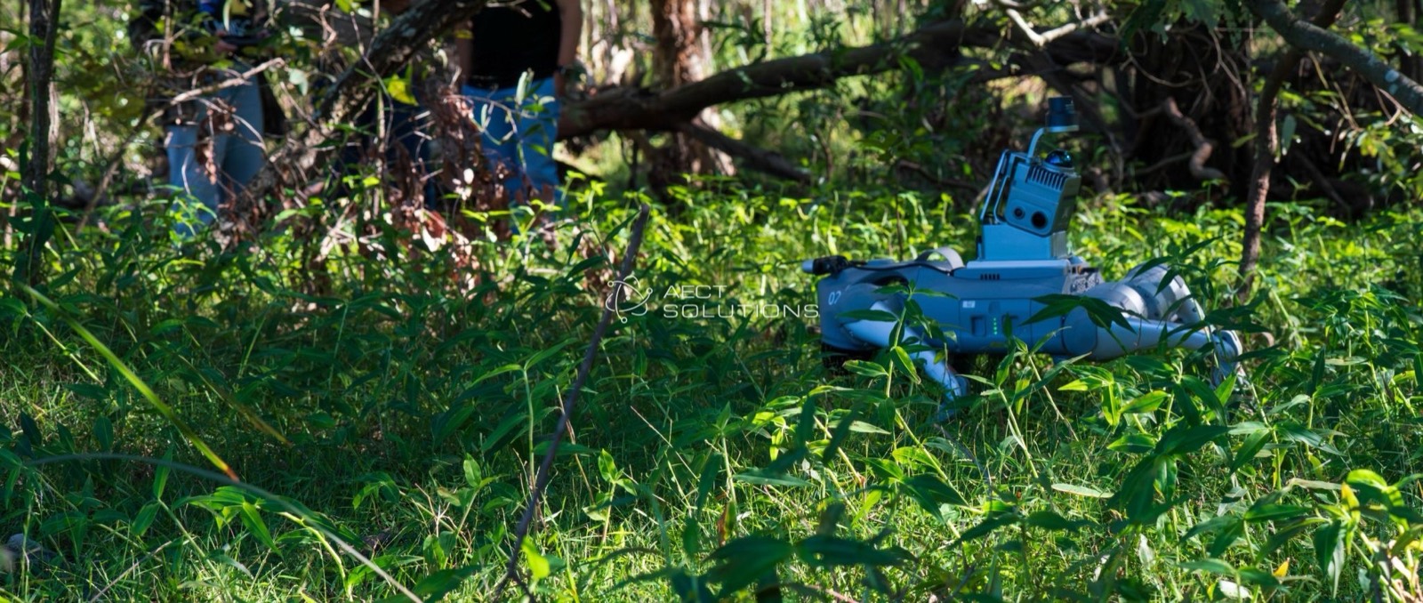
Captured by our team, from a single tree to bushland research sites.
Three ways to start
Plan a pilot
Tell us the traits or sites you study. We’ll design a pilot with hand-measured checks.
Talk about a pilotEquip your team
Buy, or hire a K2 first. Onboarding and local support come with every unit.
See hire optionsCommon questions
How accurate is it for plant traits?
We don’t quote plant-trait accuracy until a pilot has measured it against hand measurements. Measure on the point cloud, not on the 3DGS model.
Does wind matter?
Yes. Moving leaves and branches blur, so capture in still conditions or under cover.
Can it see inside a dense canopy?
Not fully. Dense foliage hides inner branches, so plan passes from more than one side.
Can we add drone data?
Yes. Drone capture covers the property and ground capture adds the detail, and both can be fused into one dataset.
Bring us a plant, a row or a site
We’ll capture it and show you the data before you plan a pilot.
Book a site demo