XGRIDS Lixel K1
1 kg handheld SLAM LiDAR for tunnels, mines, deep interiors, and training. Now AUD $14,999 inc GST — the budget-conscious entry to the XGRIDS Lixel ecosystem.

Why the K1

Compact & Lightweight
Just 1kg with battery. One-handed operation. Walk through any space and capture high-precision 3D data effortlessly.

Real-Time 3D Rendering
See colourful, detailed point clouds on your phone in real-time via the LixelGO app. No missed areas, no re-scans.

360° Panoramic Capture
Walk around and scan a 40m radius in all directions. Multi-SLAM technology works without GPS — tunnels, indoors, underground.
Product Gallery


Mount It on a Robot Dog
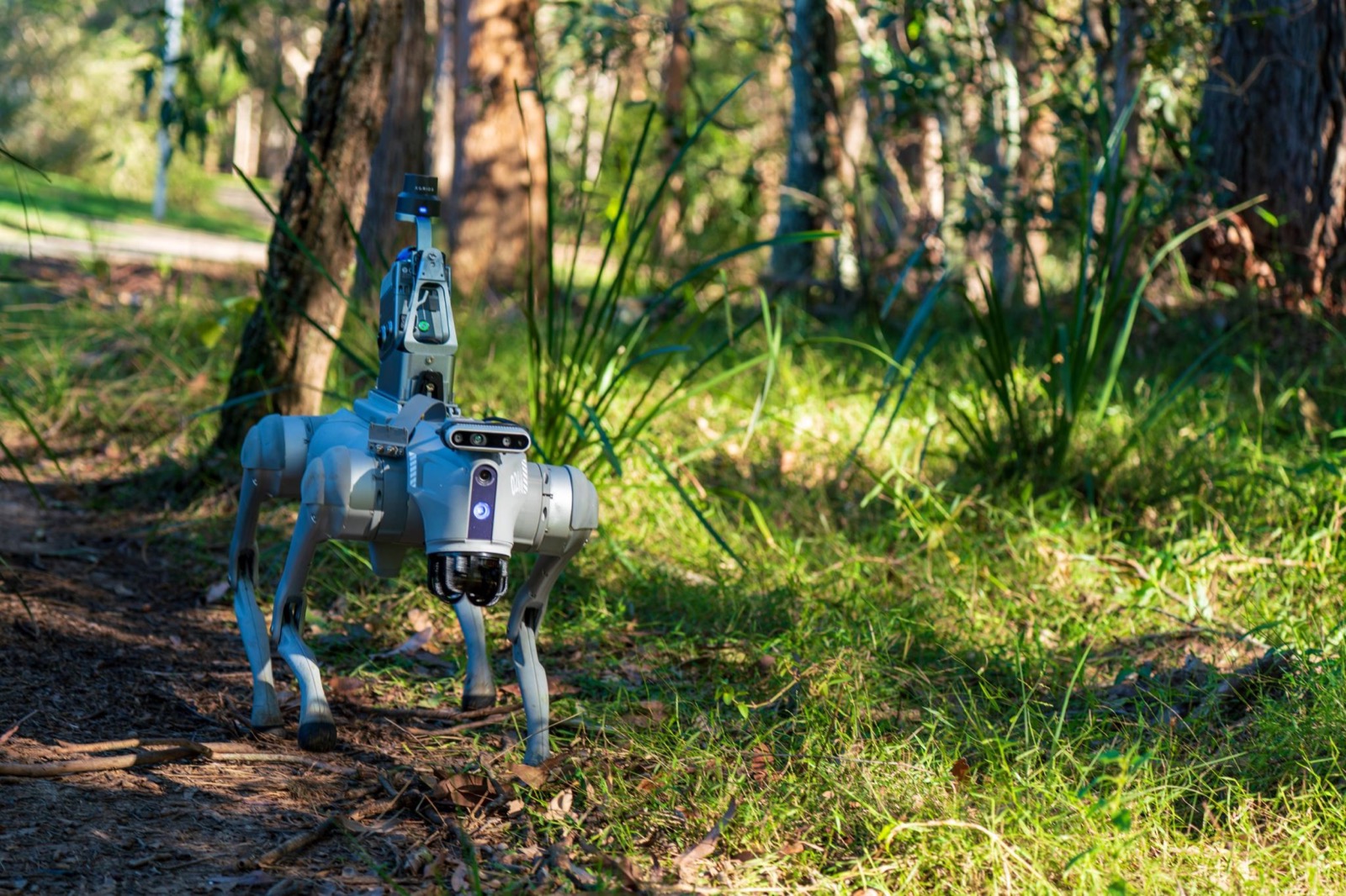
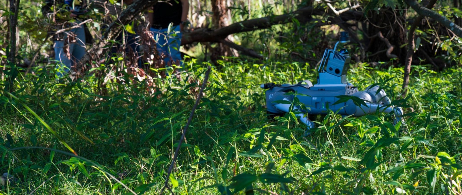
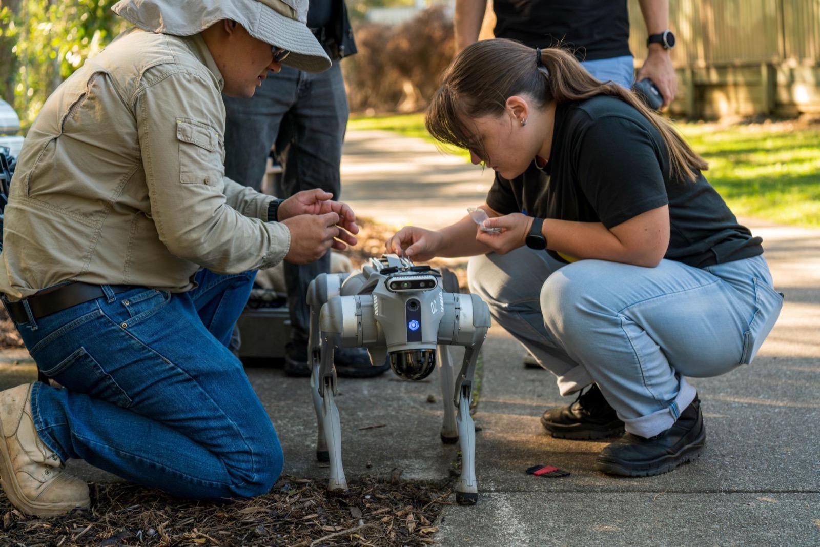
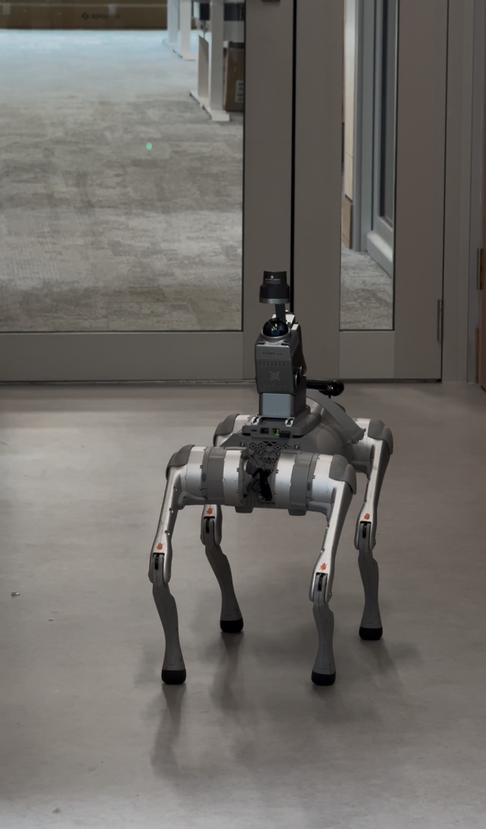
At 1kg, K1 rides on quadruped platforms for autonomous, repeatable scanning of hazardous or hard-to-access sites — no person in the exclusion zone. Ask us about the K1 robot-dog kit (in-person demo at our Sunshine Coast facility).
How to Choose Your 3D Capture Method
5 questions to help you decide between LiDAR, photogrammetry, and 3DGS.
Full Specifications
What You Can Do
The K1 is AECT's most versatile scanner — walk in, scan, and deliver a BIM-ready point cloud the same day.
Indoor Scanning
Walk through commercial, industrial, or residential spaces and capture millimetre-accurate 3D point clouds without GPS.
Construction As-Builts
Document completed construction stages with auditable spatial evidence. Feed directly into AI Scan-to-BIM workflows.
Heritage Documentation
Non-contact capture of heritage structures, facades, and interiors for archival-quality 3D records and conservation.
Tunnel & Underground
Scan tunnels, shafts, and confined spaces where GPS is unavailable. SLAM maintains accuracy throughout.
Facility Management
Create digital twins of warehouses, hospitals, data centres, and campuses for ongoing maintenance and space planning.
Real Estate & Interiors
Generate photorealistic 3D models of properties for virtual tours and spatial documentation via 3DGS reconstruction.
Works With Your Existing Stack
Common Questions, Answered
What is the XGRIDS Lixel K1?
The Lixel K1 is a 1 kg handheld SLAM LiDAR scanner capturing 200K points/sec with ±1.2 cm relative accuracy over a 0.1–40 m range. It uses multi-SLAM spatial mapping, so it works completely GPS-free — ideal for tunnels, basements, underground assets and indoor capture. In Australia it is sold and supported by AECT Solutions, the official XGRIDS national distributor.
Does the Lixel K1 need GPS or RTK to scan?
No. The K1's multi-SLAM engine tracks position without any GNSS signal, which is exactly why it excels in GPS-denied environments. If you need georeferenced output, an external RTK module is supported — or step up to the Lixel K2, which has RTK built in.
What is the difference between the Lixel K1 and the K2?
The K2 is the flagship: under 1 kg with a built-in UM980 RTK chipset, three onboard cameras for real-time colourised capture, and dual output (engineering point cloud + 3DGS). The K1 is the entry tier — no built-in RTK, 200K pts/sec — positioned for GPS-denied work, training programs and budget-conscious teams.
How much does the Lixel K1 cost in Australia?
The Lixel K1 is AUD $14,999 inc GST (Standard package) through AECT Solutions — repositioned as the entry tier following the K2 launch. Contact AECT for package options and trade-in guidance — or consider the K2 (from AUD $15,999 inc GST) if built-in RTK matters to your workflow.
What software comes with the Lixel K1?
Every K1 purchased through AECT includes 3× LixelStudio licences (permanent) for point-cloud processing plus an LCC Basic licence (single scene) for 3D Gaussian Splatting reconstruction — the same bundle as the K2 and L2 Pro.
Can I rent a Lixel K1 in Australia?
Yes. AECT offers K1 rental Australia-wide with operator training included — a common path for one-off projects or try-before-you-buy evaluation.
Ready to See the K1 in Action?
Book a hands-on demo or talk to our team about your scanning requirements.