A dated 3D record, before and after anything happens.
Capture sites, buildings and incidents as dated, measurable 3D records for underwriting, claims and safety teams. AECT pairs reality capture with ISO-approach HSEQ workflows, led by a certified ISO 9001, 14001 and 45001 Lead Auditor.
What slows the work down
Disputes over what was there
Claims stall on what a site or building looked like before the loss.
Why it happensThere is rarely a complete, dated record from before.
Assessors on unsafe sites
Assessors and adjusters enter damaged buildings to measure them, often more than once.
Why it happensEach measurement needs someone on site.
Risk surveys that age
Underwriting relies on photos and notes from the last visit.
Why it happensThey don’t show layout, access or exposure in a way others can check.
Where AECT fits for insurers and risk teams
Most teams start with baseline records of a few high-value sites, then add capture after events.
Baseline records
A dated record of a site or building before anything happens.
Lixel K2 or L3 capture, processed into a point cloud and a 3DGS model, dated and hosted.
Claims and loss assessment
Measure damage without repeated entries.
One capture after the event. Assessors, builders and adjusters measure from the same data.
Risk surveys for underwriting
A walkable record of a site for underwriters who can’t visit.
The site captured on foot and from the air, hosted as a link with the measured cloud behind it.
HSEQ and incident records
Workplace incidents and safety audits, recorded in 3D.
Reality capture alongside ISO-approach HSEQ workflows, so the record supports investigations and audits.
One partner for the record and the process
We capture and keep the record, and help your team build it into the way you assess risk.
- 01
Scope
What the record has to prove, to whom, and how it will be kept.
- 02
Equip and train
Scanners and training for your assessors, surveyors or risk engineers.
- 03
Capture
Our crews or yours, on foot and from the air, before or after an event.
- 04
Process
Onshore processing in Queensland into dated point clouds and 3DGS.
- 05
Integrate
Measured views and exports for reports, claims systems and builders.
- 06
Host and support
Hosted records that every party can open, and local support.
Run all six with us, or only the stages your team doesn’t cover yet.
The right XGRIDS tool for the record
All of them share the LixelStudio and LCC workflow, so one team can run them all.
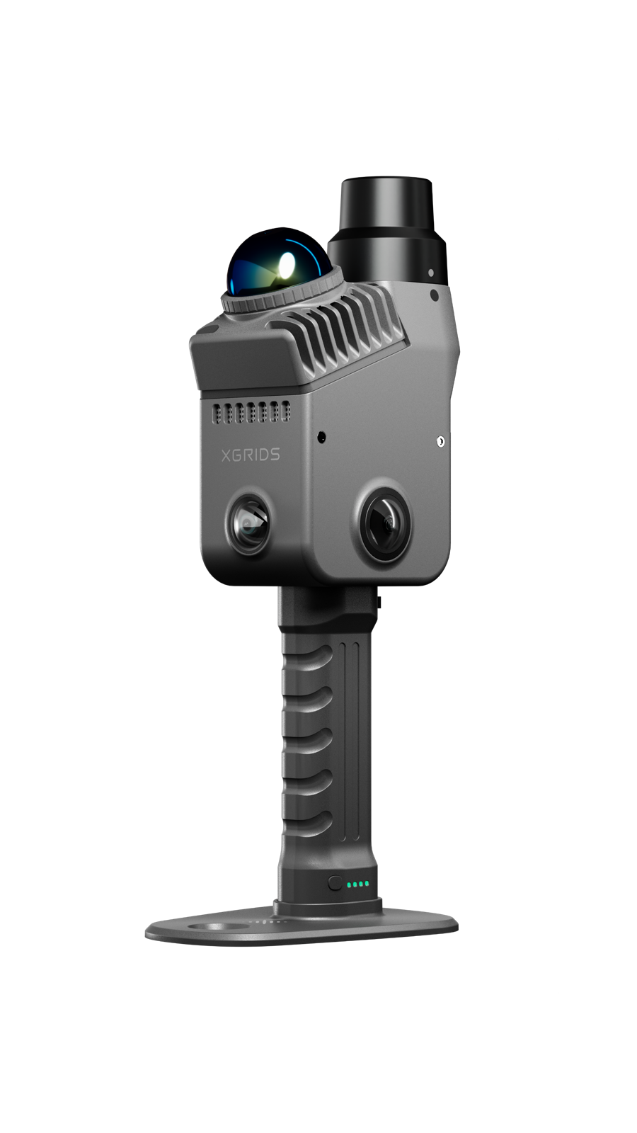
XGRIDS Lixel K2
Measured point cloud plus 3DGS, quick enough for routine records.
View the Lixel K2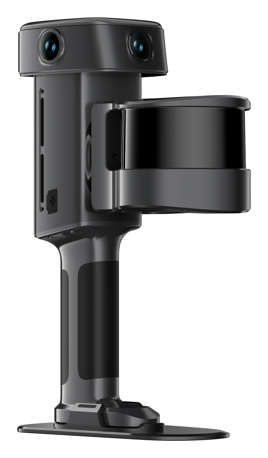
XGRIDS Lixel L3
Fine detail at 5 mm relative (1σ), and 2 cm absolute with RTK.
View the Lixel L3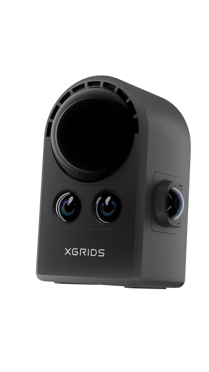
XGRIDS PortalCam
Photoreal interiors for fast condition records. No point cloud.
View the PortalCam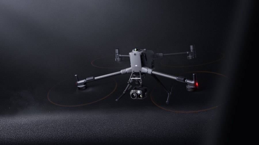
DJI Enterprise
Roofs and large sites from the air. A supporting line.
View the DJI EnterpriseFrom the site to a record you can measure
XGRIDS footage of a live check on site and the outputs that follow.
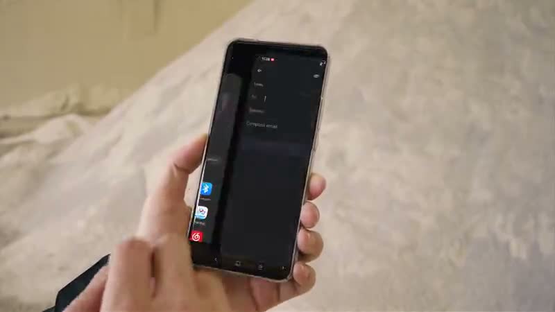
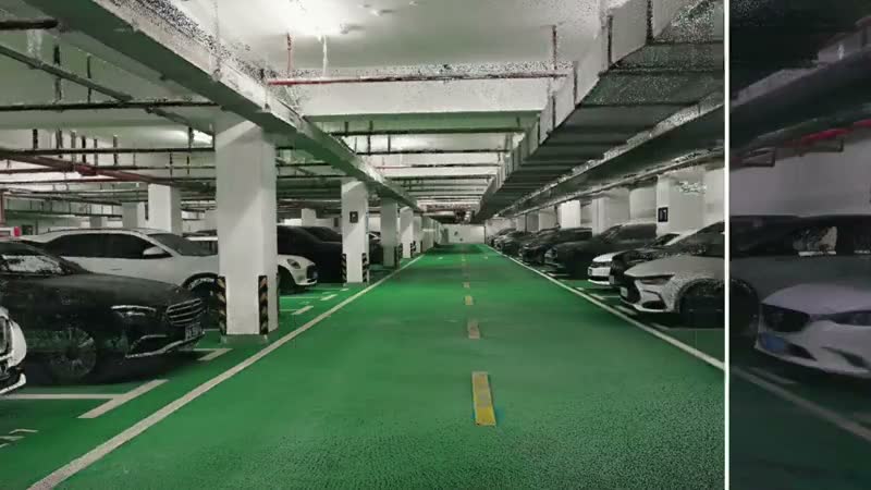
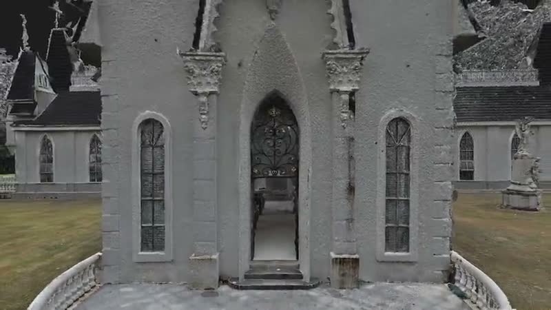
Product footage: XGRIDS, not AECT project work.
Proof from dated records
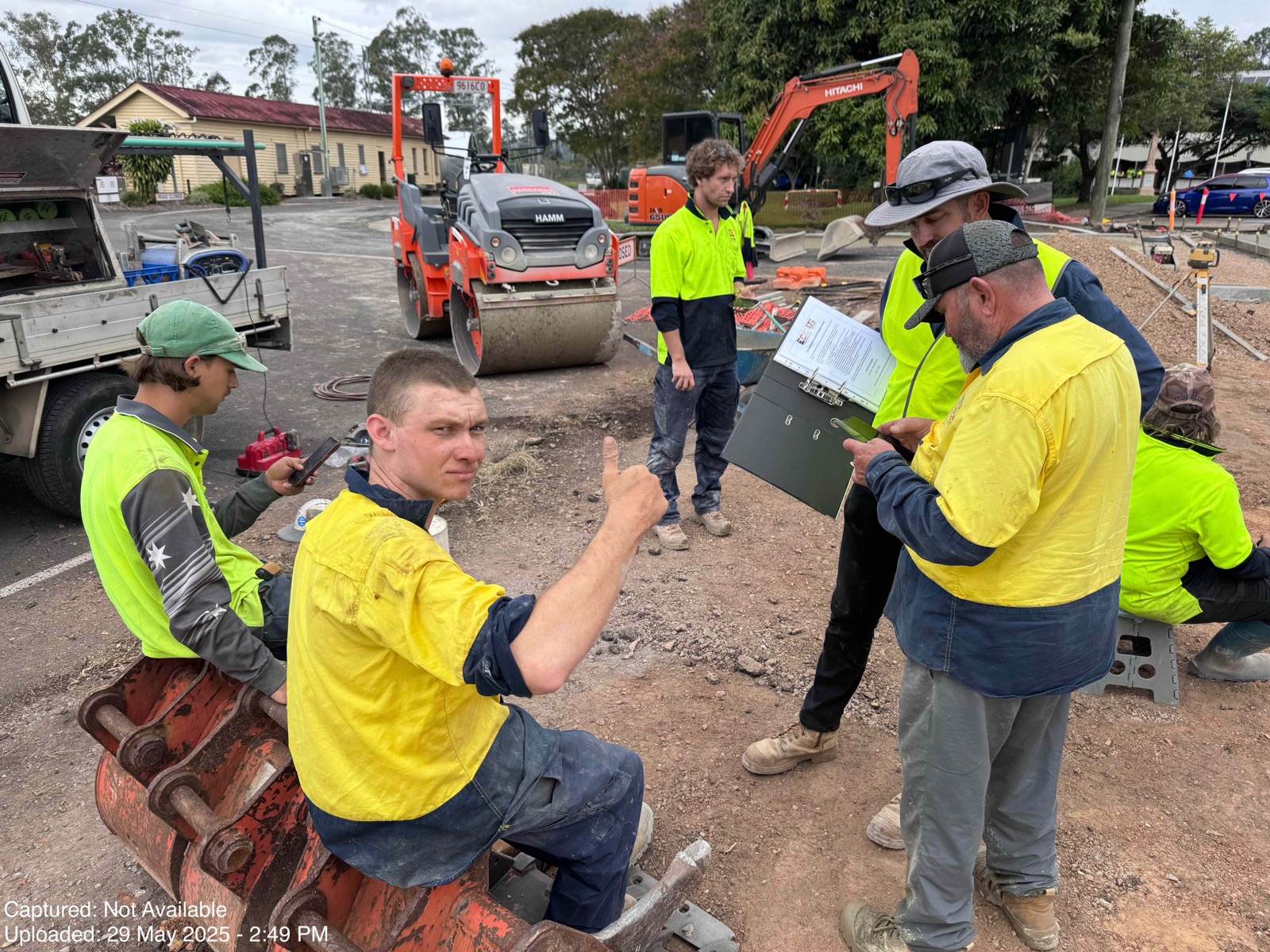
There’s no public insurance case yet. The same dated-record workflow already runs on Australian construction sites, and we presented 3D capture for HSEQ and insurance at an AIHS event in May 2026.

Three ways to start
HSEQ support
Build 3D records into your safety and audit process with ISO-approach workflows.
See HSEQ servicesCommon questions
Is each record dated?
Yes. Each capture is dated, and the scanner records its trajectory with timestamps.
Can every party check the same record?
Yes. Assessors, builders, adjusters and the insured can open the same hosted model and measure from the same point cloud.
How accurate is it?
It depends on the scanner and the control. The Lixel L3 is specified at 5 mm relative (1σ) and 2 cm absolute with RTK. Where the job needs it, we check against survey control and report the result.
Is AECT ISO certified?
No. We run ISO-approach workflows, and our founder is a certified ISO 9001, 14001 and 45001 Lead Auditor.
Where is the data stored?
Processed in Queensland and hosted on AWS Sydney, with faces and number plates blurred where needed.