Learn 3D Gaussian Splatting.
From Capture to Delivery.
Australia's first hands-on 3DGS training — master XGRIDS PortalCam, K1, and L2 Pro with real equipment on real sites. Walk in with zero experience, walk out publishing 3DGS models.
Full-Pipeline 3DGS Mastery
Not just theory — you'll capture, process, and deliver production-ready 3DGS models with the same equipment professionals use on site.
Capture
Master handheld, vehicle-mounted, and aerial scanning with PortalCam, K1, and L2 Pro in real-world conditions.
Process
Run the full pipeline in LixelStudio and LCC CyberColor — registration, QA, 3DGS reconstruction, and coordinate systems.
Deliver
Export production-ready point clouds, 3DGS models, and AR-ready assets in industry-standard formats.
Integrate
Connect outputs to BIM (Revit), GIS (QGIS/ArcGIS), digital twin platforms, and web viewers.
0
XGRIDS Devices
PortalCam · K1 · L2 Pro
0
Software Platforms
LixelStudio + LCC CyberColor
0%
Hands-On
Real equipment, real sites
1–3
Day Formats
Foundation to Enterprise
Choose Your Level
Three tiers designed for different experience levels — from first-time scanners to enterprise deployment teams.
Foundation
1 Day
From zero to your first 3DGS model in one day.
For: AEC professionals, real estate teams, content creators new to 3D scanning.
- ✓3DGS vs photogrammetry vs LiDAR — when to use what
- ✓PortalCam hands-on: indoor/outdoor capture workflow
- ✓LCC CyberColor: 3DGS reconstruction & export (.LCC, .PLY, .OBJ)
- ✓Quality control: common capture mistakes & how to avoid them
- ✓Delivery formats: web viewer, USDZ (iOS AR), Unreal Engine
Output: Publish your first 3DGS scene
Register InterestProfessional
2 Days
Full-pipeline mastery: capture, process, deliver.
For: Surveyors, drone operators, GIS teams, and digital twin practitioners.
- ✓Day 1: All Foundation content + Lixel K1 SLAM scanning
- ✓K1 GPS-denied workflow: indoor, tunnel, heritage, confined space
- ✓LixelStudio: point cloud registration, QA, coordinate transforms
- ✓RTK/PPK integration & GCP target workflows
- ✓Aerial-ground map fusion: combining PortalCam + K1 datasets
- ✓Day 2: L2 Pro field deployment (handheld + vehicle mount)
- ✓Multi-device project: PortalCam + K1 + L2 Pro stitching
- ✓Deliverable pipeline: .LAS/.E57 point cloud + 3DGS + orthomosaic
Output: Multi-source 3DGS + point cloud deliverable pack
Register InterestEnterprise
Custom
Tailored for your team, your site, your workflow.
For: Organisations deploying XGRIDS + DJI at scale — construction, mining, infrastructure, government.
- ✓All Professional content, customised to your industry
- ✓DJI aerial LiDAR integration (M350/M400 + Zenmuse L2/L3)
- ✓Autonomous capture: Dock 3 + FlightHub 2 mission planning
- ✓Digital twin pipeline: scan → model → platform integration
- ✓ISO-integrated workflows: HSEQ documentation & evidence packs
- ✓Train-the-trainer: build internal capability for ongoing capture
- ✓On-site delivery at your project location
Output: Custom SOPs + trained internal team
Register InterestBuilt for Practitioners
Whether you're adding 3DGS to an existing survey practice or starting from scratch — there's a path for you.
Surveyors & GIS Professionals
Add 3DGS to your service offering alongside traditional point cloud deliverables.
AEC & Construction Teams
Capture as-built conditions for BIM, progress monitoring, and digital twins.
Drone Operators (CASA ReOC)
Expand beyond ortho/DSM into aerial-ground 3DGS fusion with DJI + XGRIDS.
Real Estate & Marketing
Create immersive 3D property tours that outperform traditional photography.
Heritage & Cultural Preservation
Document sites with photorealistic accuracy in GPS-denied environments.
XR / VFX / Game Studios
Capture real-world environments as 3DGS assets for Unreal Engine, Unity, or AR.
Everything You Need
All Equipment Provided
PortalCam, K1, L2 Pro — no need to bring your own hardware.
Software Licences
LixelStudio + LCC CyberColor access for the duration of the course.
Course Materials
Step-by-step guides, workflow checklists, and reference documentation.
Certificate of Completion
AECT-issued certificate for Professional and Enterprise participants.
Want to keep practising after the course? Combine training with an equipment rental plan and receive a 10% training credit.
View Rental Plans →Real Sessions, Real Sites
From police forensic units to survey crews — hands-on training delivered on real equipment, on real sites.

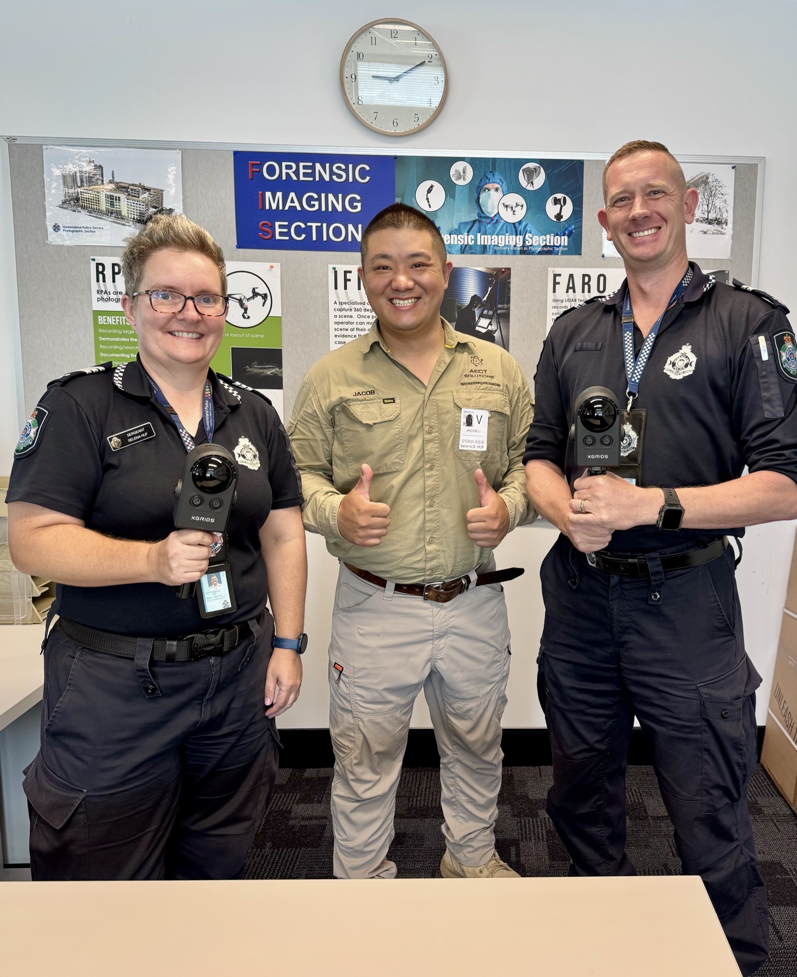
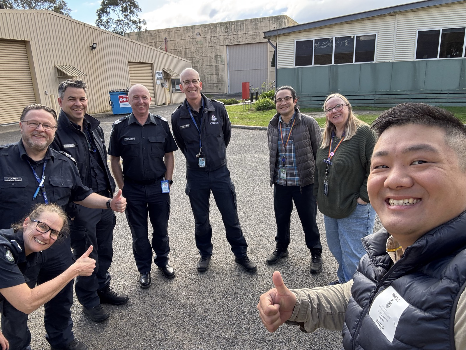
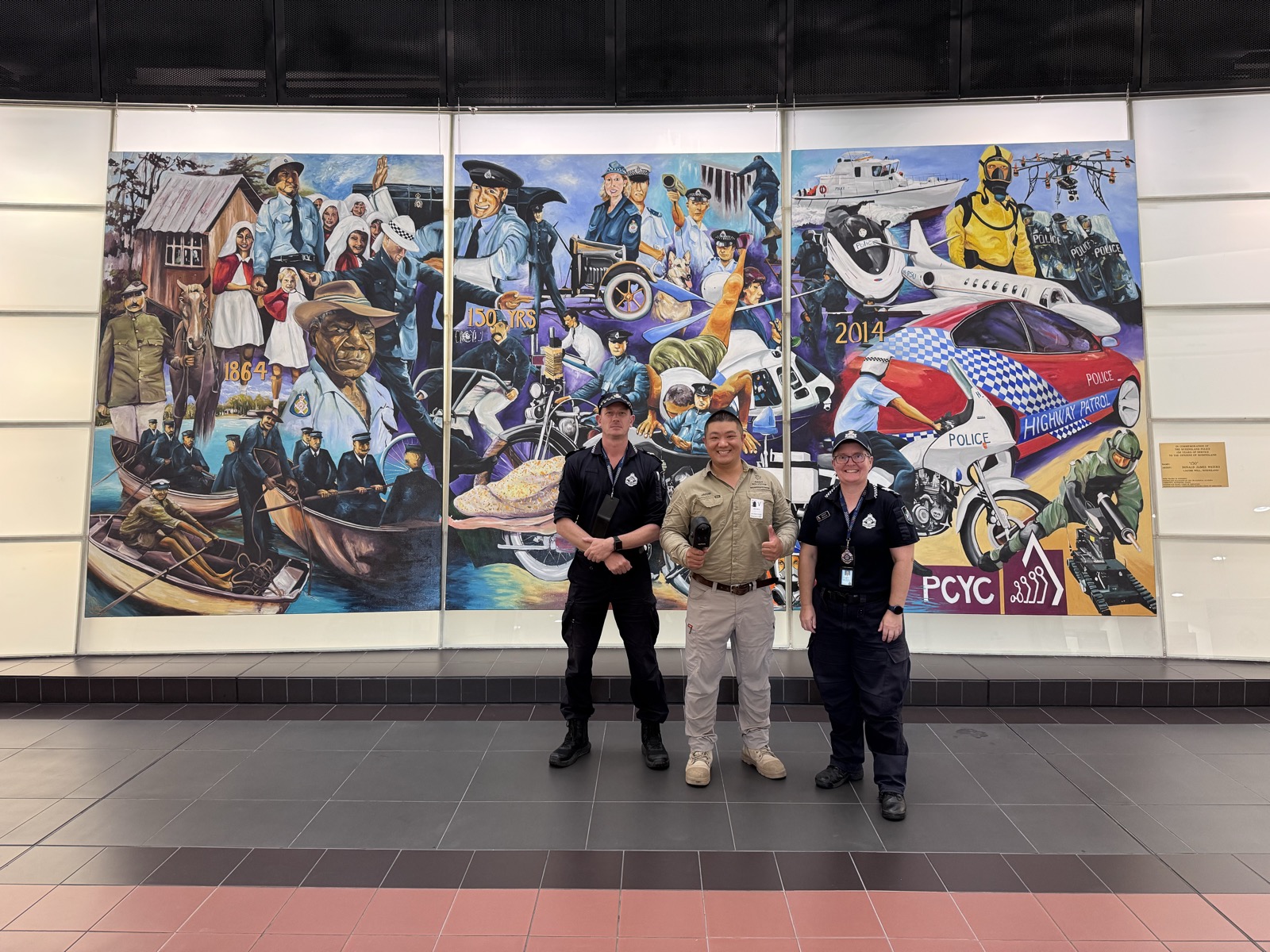
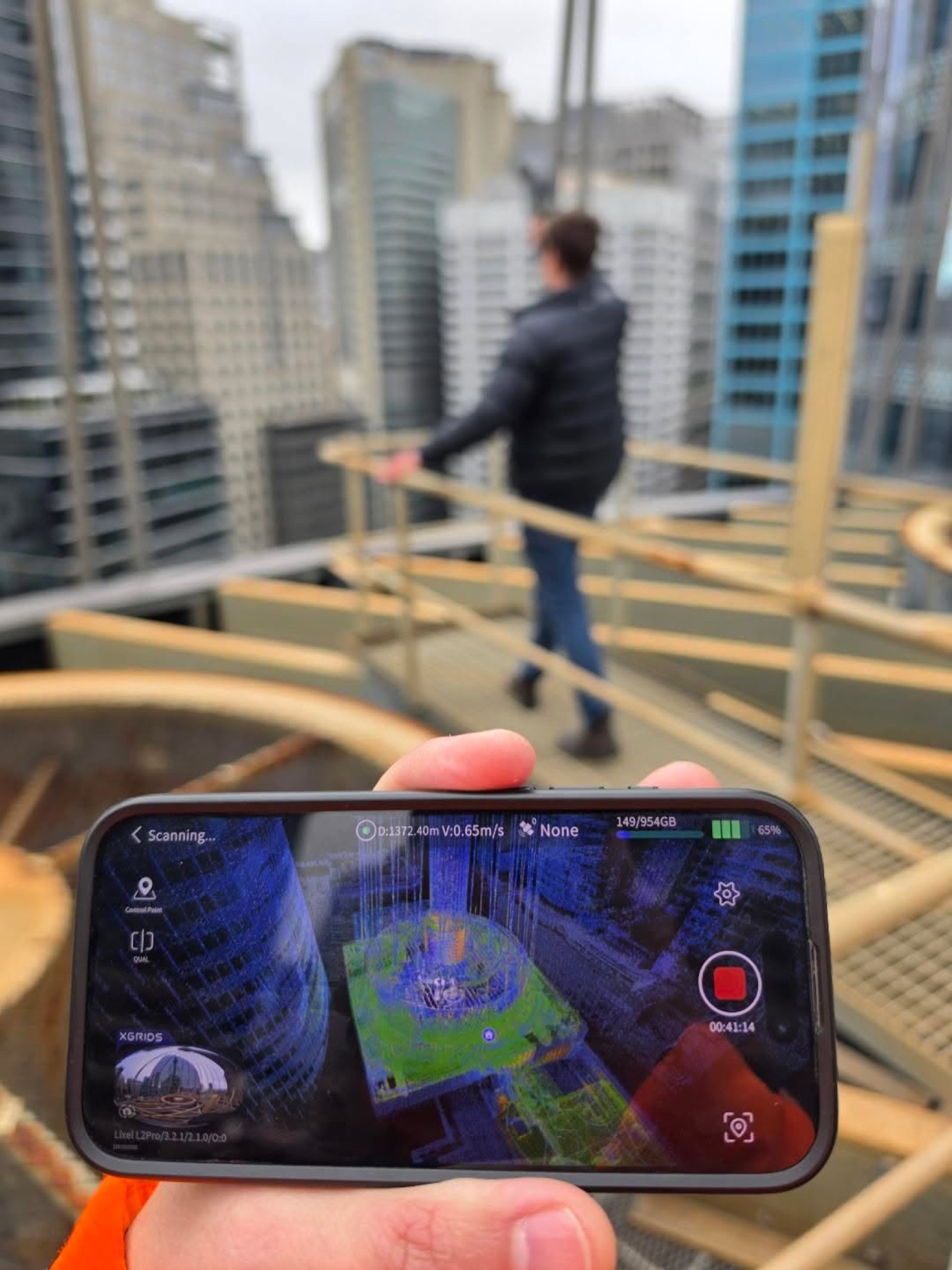
“Under Jacob's comprehensive training plan, we generated our first aerial-ground 3DGS model within the first session. The hands-on approach made all the difference.”
— AECT training participant
Ready to Master 3DGS?
Register your interest for the next masterclass session — limited to 8 participants per cohort for maximum hands-on time.