Capture underground, in plant and along networks.
SLAM LiDAR keeps working where GNSS can’t reach: tunnels, plant rooms and substations. AECT runs a demo on your asset first, then captures for you or equips your crews, with processing onshore.
What slows the work down
No GNSS where you need it
Survey underground and inside plant is slow, set-up by set-up.
Why it happensSatellite positioning doesn’t reach, and tripod methods need line of sight.
People in hazardous areas
Crews spend time near live plant, voids and edges just to measure them.
Why it happensEvery missed measurement means another entry.
Records that age fast
Drawings and models no longer match the asset after years of changes.
Why it happensRecapturing the asset has been too slow to do often.
Where AECT fits on your sites
Start with a demo on one area of your asset. You see your own data before you commit.
Underground and tunnels
Development, voids and services captured where GNSS can’t reach.
Handheld or pole-mounted SLAM with a Lixel L2 Pro or K2, tied to survey control.
Plant and processing sites
As-built records of plant, pipework and structures for shutdowns and upgrades.
Lixel L3 or K2 capture around plant, processed into a measured cloud for your design team.
Stockpiles and open areas
Surfaces and volumes of stockpiles, pits and pads.
Drone or vehicle-mounted L2 Pro for large areas, handheld for the rest.
Networks and corridors
Substations, easements and network corridors.
On foot, by vehicle or by drone, depending on access, with outputs for your GIS.
One partner, from demo to handover
We prove it on your asset, then capture, process and support, or equip your crews to run it.
- 01
Scope
A demo on your asset, then a capture plan that fits your site rules and permits.
- 02
Equip and train
Lixel L2 Pro, K2 or L3 for your survey team, with training on your site.
- 03
Capture
Underground, in plant and across open areas, on foot, by vehicle or by drone.
- 04
Process
Onshore processing in Queensland, or on your own workstations.
- 05
Integrate
LAS, E57 and RCP for engineering, surfaces and volumes for planning, layers for GIS.
- 06
Host and support
Hosted models for site and office teams, and local support.
Run all six with us, or only the stages your team doesn’t cover yet.
The right XGRIDS tool for the site
All of them share the LixelStudio and LCC workflow, so one crew can run them all.
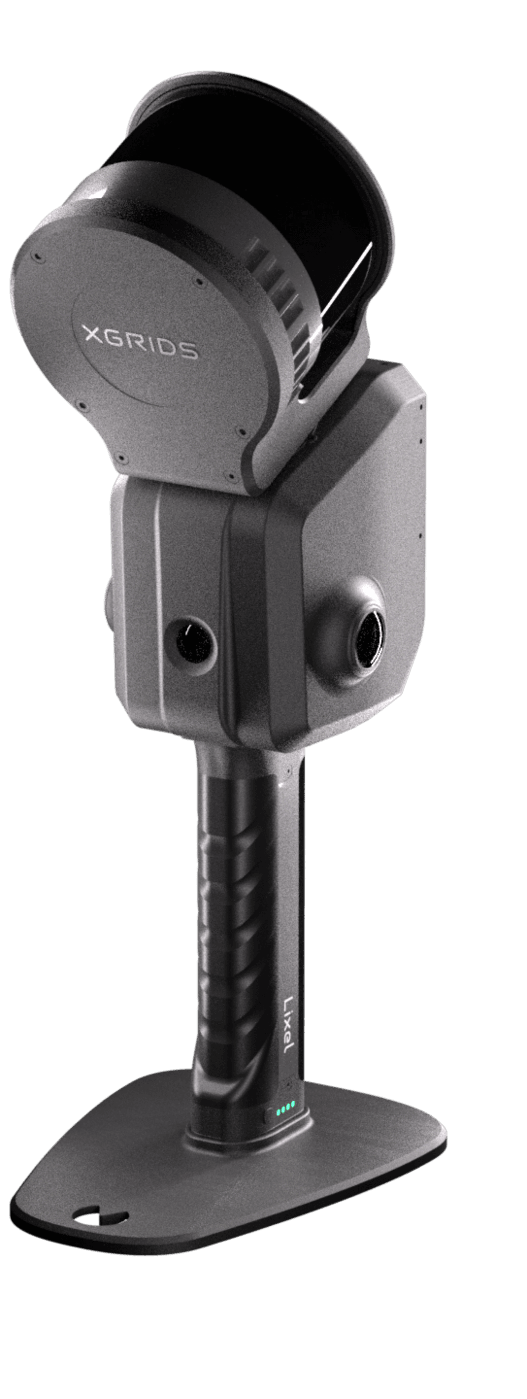
XGRIDS Lixel L2 Pro
Long range for pits, stockpiles and corridors: handheld, on a vehicle or on a drone.
View the Lixel L2 Pro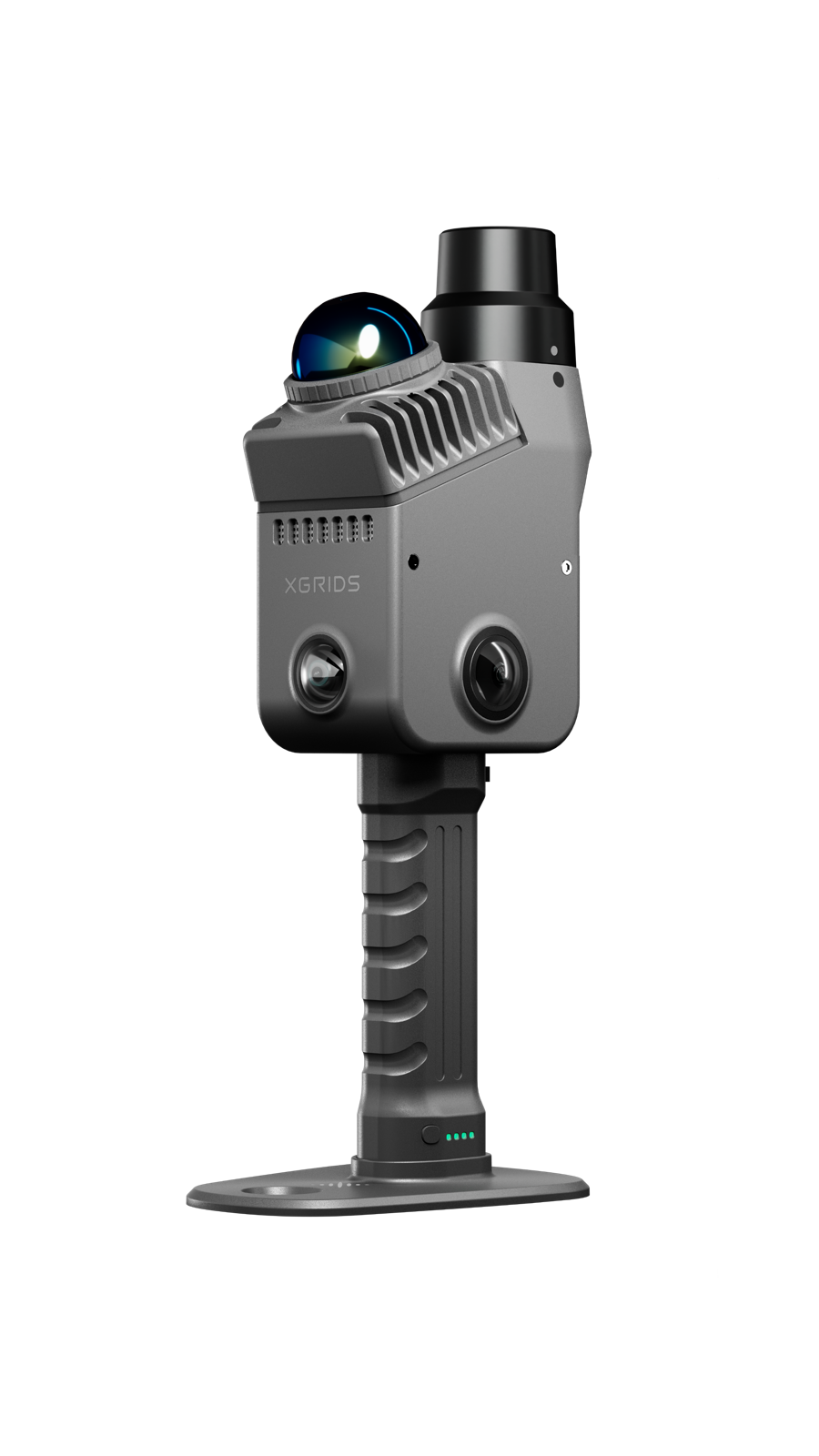
XGRIDS Lixel K2
Light and quick for plant rooms, services and tight spaces.
View the Lixel K2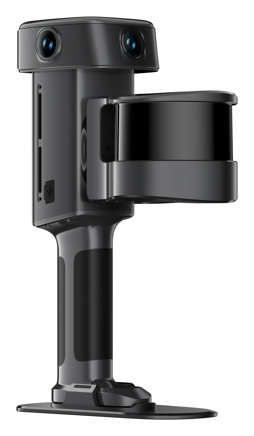
XGRIDS Lixel L3
Fine plant detail at 5 mm relative (1σ).
View the Lixel L3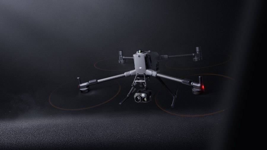
DJI Enterprise
Aerial capture of large areas, flown with the L2 Pro. A supporting line.
View the DJI EnterprisePits, drives and plant
XGRIDS footage and images from resource and plant environments.
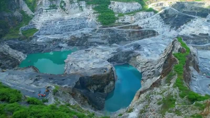
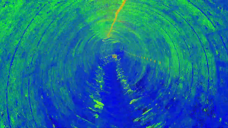
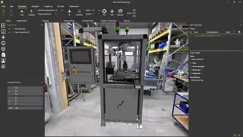
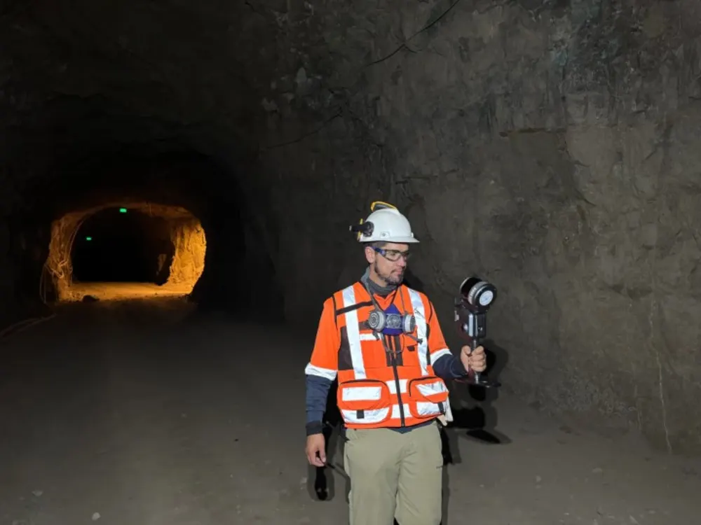
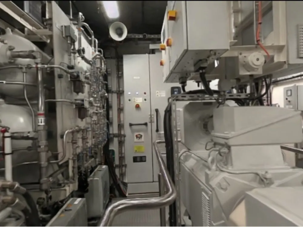
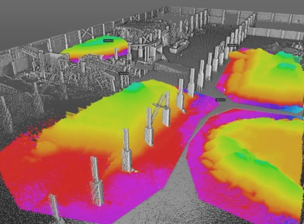
Product images and footage: XGRIDS, not AECT project work.
Proof on your own asset
We don’t have a public mining or utilities case yet, so we start with a demo on your site. Here is what the same workflow captures elsewhere.
Three ways to start
Capture for you
Send the area and the deliverables. We plan around your site rules, capture and process.
Request a quoteEquip your crews
Buy, or hire an L2 Pro or K2 first. Onboarding and local support come with every unit.
See hire optionsCommon questions
Can it capture underground without GNSS?
Yes. SLAM works without satellite positioning. Tie the capture to survey control where you need absolute position.
Are the scanners rated for hazardous areas?
No. XGRIDS scanners are not explosion-proof, so they can’t be used in hazardous (Ex) zones. We’ll tell you what is possible on your site at the demo.
What about shafts and narrow spaces?
The L2 Pro has a narrow-scene mode for tunnels, pipes and shafts up to about 3 m across. Long drops need planning, with overlaps at stations and short capture sessions, and we work that through with you before quoting.
Where is the data processed?
Onshore in Queensland, or on your own workstations with an offline licence.
Do you have a mining case study?
Not a public one yet. That’s why we start with a demo on your site.
Start with a site demo
We’ll capture an area of your asset and show your team the data before you commit.
Book a site demo