NEW · LIXEL L3XGRIDS’ new 5 mm flagship with built-in RTK is here — Jacob Lee is taking the first Australian L3 on the road to every state and territory.Get the spec sheet →Register for the roadshow →
AECT Solutions · 能力白皮书
English

从现场采集到决策闭环

面向澳大利亚实体资产的主权级数字孪生与 3D 高斯溅射(3DGS)——ISO 体系化交付、澳洲本土数据处理、Scan-to-BIM / Scan-to-Sim 全工作流。

澳大利亚本土持有与运营XGRIDS 澳洲国家总代理CSIRO Innovate to Grow 项目成员昆士兰创新生态圈
±1cm
竣工核验与 QA 相对精度
±3cm
空地融合绝对精度(RTK 地理配准)
80%+
相较传统工作流的现场作业时间压缩
10,000
单场景可融合的无人机影像上限
端到端

空间智能,成体系架构

从亚毫米到城市尺度——全谱系传感器同在一个机队,按项目架构最优组合。一次采集计划,一套地理配准数据,覆盖全部交付物。

0.02 mm
计量级扫描 — SCANOLOGY
零部件、逆向工程、自动化质检
3–5 mm
地面站式 LiDAR (TLS)
100 m 处 3–5 mm 精度——结构物、控制网;200 / 450 / 600 / 1,450 m 量程全覆盖
5–15 mm
手持 SLAM + 3DGS — XGRIDS 方案
5–15 mm 精度(视控制方法而定)——建筑、场地、室内,照片级孪生
cm
车载移动测量 MLS — 走廊级
厘米级精度——公路、铁路、电力走廊,交通速度下采集
cm
RTK 无人机 + 机载 LiDAR
厘米级精度——园区、校园、区域,空地融合为同一数据集
一套地理配准数据集
一次采集,按你团队的每种工作方式交付。
测量级点云 — RCP / E57 / LAS
网格模型 Mesh — OBJ / OSGB
照片级 3DGS — .lcc / .lcc2 (LoD) / OBJ / 3D Tiles / USD / USDZ / PLY
Scan-to-BIM — Revit,最高 LOD 400
Scan-to-Sim — Unreal、Omniverse、Isaac Sim
一年的全栈交付,105 秒看完
全尺度重建

全传感器,一个模型

单反高保真采集、测量级 RTK 无人机(Matrice 400/350、M4E)、手持 SLAM LiDAR 与计量级扫描——从空中到地面融合为同一套地理配准的 3DGS + 点云数据。手持、车载、机载、背负与自主平台全形态覆盖。

在建工地——航拍 3DGS
无 GPS 地下环境——SLAM LiDAR
LCC 中的屋面采集——任意点位测量
工作流

采集 → 处理 → 集成

1采集

单人操作,现场只需数分钟。步行、车载或机载 SLAM LiDAR + RTK,不中断在建作业。

2处理

澳洲本土处理,本地或云端。3DGS 与点云自动化产线,成果直接载入 Revit 与 CAD。

3集成

漫游、BIM 叠加与开放格式导出——Revit、Unreal、Unity、NVIDIA Omniverse、Cesium、ArcGIS 即插即用。

服务体系

一个伙伴,六种合作方式

AECT 是空间智能解决方案架构师,而非单纯经销商。买设备、租机队、送数据来处理、或整包交给我们采集——每种合作方式都跑在同一套主权级、端到端的交付体系上。

设备销售

全谱系多厂商采集矩阵——XGRIDS SLAM LiDAR + 3DGS、SCANOLOGY 计量级扫描、地面站式 LiDAR、车载 MLS、企业级无人机与 AI 工作站。全澳价格匹配保证。

XGRIDS 澳洲国家总代理
租赁与 Demo-to-Buy

全澳最大的 XGRIDS 租赁与演示机队——整机、配件、软件许可全部澳洲现货。在线日历直接预订;演示租金 100% 抵扣购买。

aect.solutions/rent
数据处理服务

把采集数据交给我们——交回 3DGS 模型、分类点云与网格。澳洲本土后处理,数据绝不出境。在线即时估价,8M 到 50M splats。

services/data-processing
交钥匙采集工程

我们的作业员、我们的机队、你的交付物。发来 KML 与所需成果——我们架构传感器组合、完成现场作业、交付审计级数据。专为走廊、园区与复杂资产打造。

KML 进 → 成果出
培训与上手

分级现场培训:每次购买均含远程 onboarding,专业整日培训在你自己的场地、你自己的项目上进行,直至 3DGS Masterclass 课程——1,000+ 次扫描的实战经验,手把手传授。

Tier 0 远程 · Tier 2 现场
ISO 与 HSEQ 咨询

ISO 9001 / 14001 / 45001 一体化管理体系,由认证主任审核员搭建与审核——与我们每一份数据交付共用同一套治理纪律。

IMS · 可认证就绪
实证

在真实澳洲资产上交付

黄金海岸高速——不封路采集

通行状态下 10 分钟完成扫描,一小时内交付点云、3DGS 与既有资产矢量提取——零封道、零交通管制。

现场仅 10 分钟

SCRC “Wombat” 抬升式人行横道

阳光海岸政务委员会首个抬升式人行横道的全生命周期数字孪生——施工 QA 的空间真值。

现场测量时间节省 50–70%

Scan-to-BIM 至 LOD 400

约 500 平方米一小时扫描完成,建模至 LOD 400 级别用于资产管理。

较人工建档节省 >70% 成本

Scan-to-Sim 与具身智能

场景孪生导入 NVIDIA Isaac Sim 进行机器人仿真训练——同一次采集,既能核验施工,也在训练将来于此作业的机器。

World Model 就绪
行业

交付版图

AEC 与施工 QA

竣工核验、浇筑后扫描、ITP 证据链

土木与基础设施

公路走廊、桥梁、人行设施、通行状态采集

矿业

地形测绘、方量计算、断面与剖面监测

电网与公用事业

倒树分析、危险点检测、巡检

油气

厂区与资产重建、巡检级数据集

空地融合巡检

无人机 + 手持融合采集复杂资产

文化遗产

遗产场所的照片级真实感数字化

司法取证与公共安全

含时间戳、可呈堂的现场重建

房地产
NEW

照片级实景漫游、高端房源展示、房况存证记录

VFX 与虚拟制片
NEW

外景勘察、影棚孪生、3DGS 场景直入 Unreal Engine

拆除与建筑迁移
NEW

开工前存证、结构迁移规划、方量核算 QA

教育与科研
NEW

校园采集计划、物理 AI 数据集、课程配套技术

市政与地方政府
NEW

基础设施走廊、铁路道口、通行状态采集、规划设计、全生命周期数字孪生监测

3D 生态

不止于产品——一套不妥协的 3D 生态

计量级扫描 · SLAM LiDAR + 3DGS · 企业级无人机与载荷 · 最大 100kg 载重自主无人机 · 机器人 · 高性能工作站 · 离网供电。审计级证据包、采集-核验闭环、澳洲本土数据处理——为 World Model 时代就绪。这也是中国空间智能厂商进入澳洲市场的落地通道。

在线实景模型

亲手飞一遍

这不是视频——这是 Mooloolaba 海堤 5 月 20 日的真实采集,以 LCC2 格式从 AECT 自有存储实时流式加载。左键拖拽旋转,右键平移,滚轮缩放。

同一资产、不同施工阶段——打开带日期的采集版本: 4 月 5 日 — 前期工程 · 4 月 13 日 — 浇筑完成 · 5 月 20 日 — 最新采集
在 3DGS 模型库浏览 12 个实景模型 —— 桥梁、文化遗产、K2 与 PortalCam 同址对比 →
全生命周期

Reality Capture Management——每个节点,数字管控

从概念到移交的一条数字主线。我们已在昆士兰在建基础设施上完整交付过这个闭环——上方的 Mooloolaba 海堤系列,就是同一资产在施工全程被反复采集的真实记录。

1设计叠加与干系人沟通

把设计方案直接叠加在实景采集环境之上预览——所有干系人在开工前就能在真实场景里看到将要建成的样子。

2施工进度管理

按日期的多次采集形成带时间戳、可量测的进度档案——任意两期对比、量化变化、远程向项目团队汇报。

3Pre-Pour / Post-Pour 质量管控

浇筑前对钢筋与模板的毫米级记录,浇筑后直接对照设计核验——经得起审计的证据链。

4竣工 As-Built 移交

最终采集以地理配准点云、3DGS 与最高 LOD 400 的 Scan-to-BIM 交付——资产团队真正用得起来的竣工档案。

教育与科研

下一代在这里学习 3D

我们的总部就设在大学创新中心内,校企合作是战略级支柱——从物理 AI 科研协作、校园级采集计划,到课程配套技术。

科研伙伴
阳光海岸大学 (UniSC)

物理 AI 协作——也是大本营:AECT 常驻 UniSC Collider 创新中心。

落地部署 · NSW
新南威尔士州知名大学

SLAM LiDAR + 3DGS 采集,复杂实验室环境的快速三维重建。

虚拟制片 · QLD
昆士兰州知名大学

影棚与舞台孪生,3DGS 场景直接进入 Unreal Engine 制片管线。

VR 研究 · WA
埃迪斯科文大学 (ECU)

PortalCam 3DGS 采集接入沉浸式 VR——真实环境重建后在虚拟现实中自由探索。

研发项目
CSIRO Innovate to Grow

入选澳洲国家科学机构 CSIRO 的结构化研发项目——技术路线图获国家级背书。
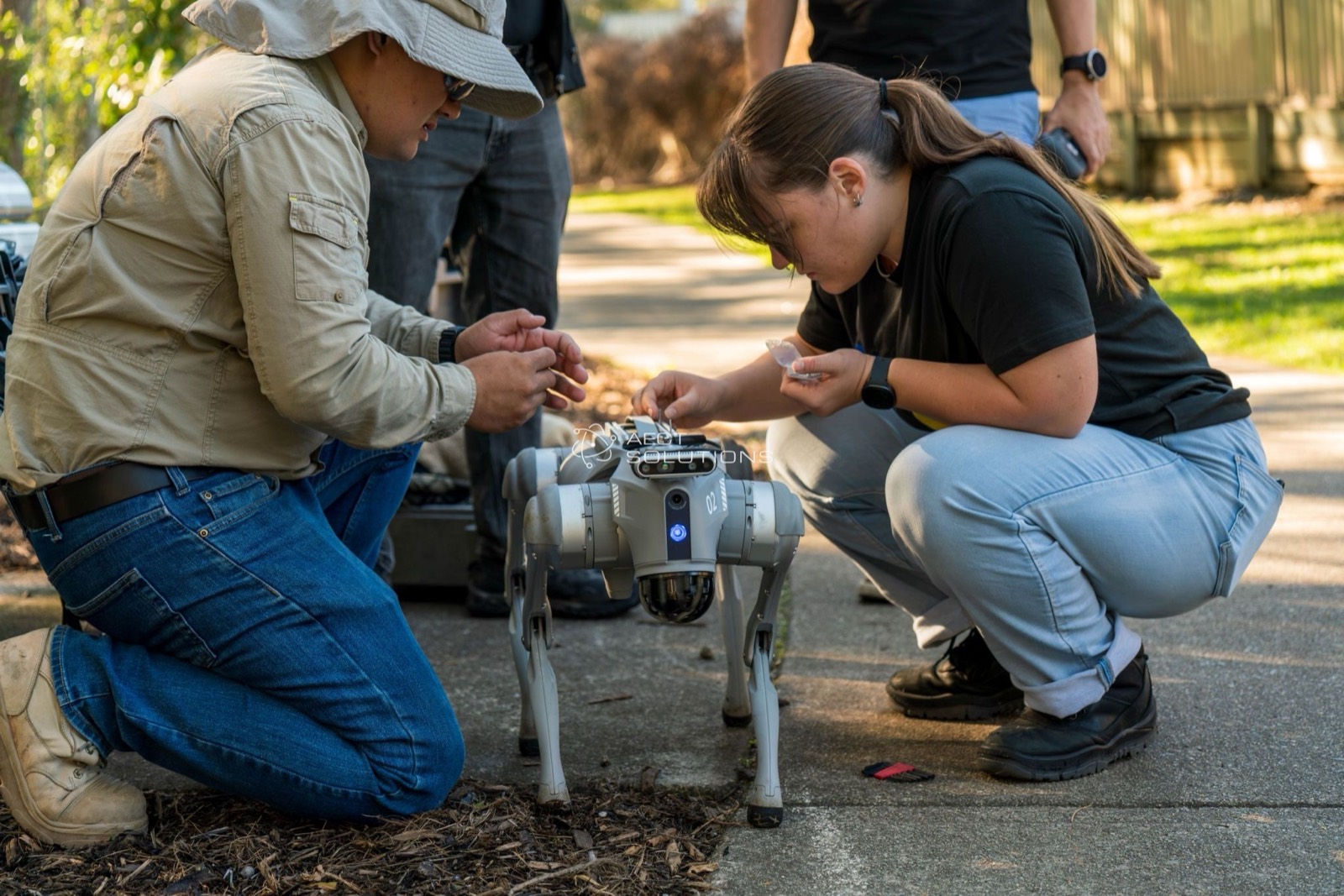
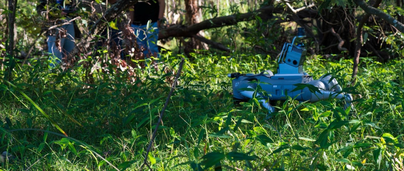
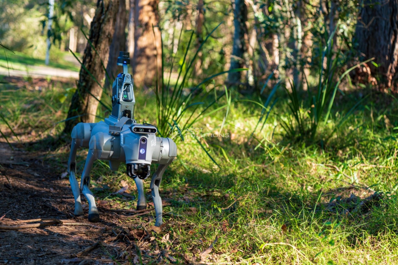
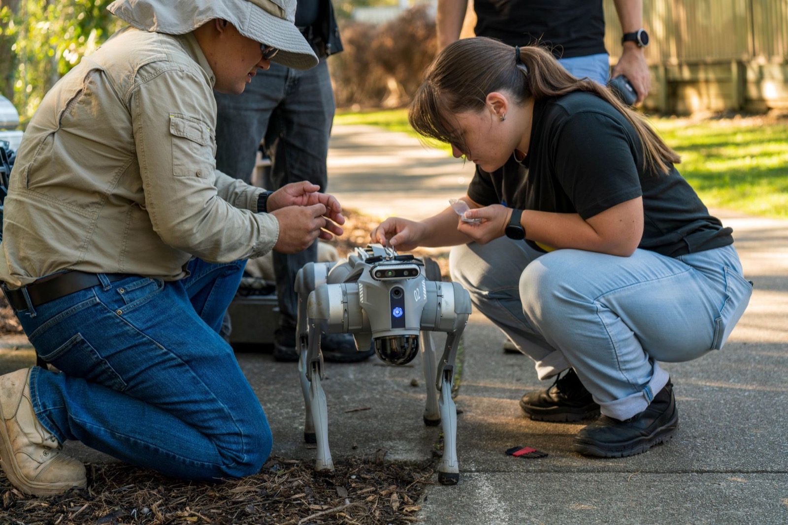
Research team preparing a quadruped robot for a scanning mission
Quadruped robot scanning in dense bushland
Autonomous robot dog capture platform in the field
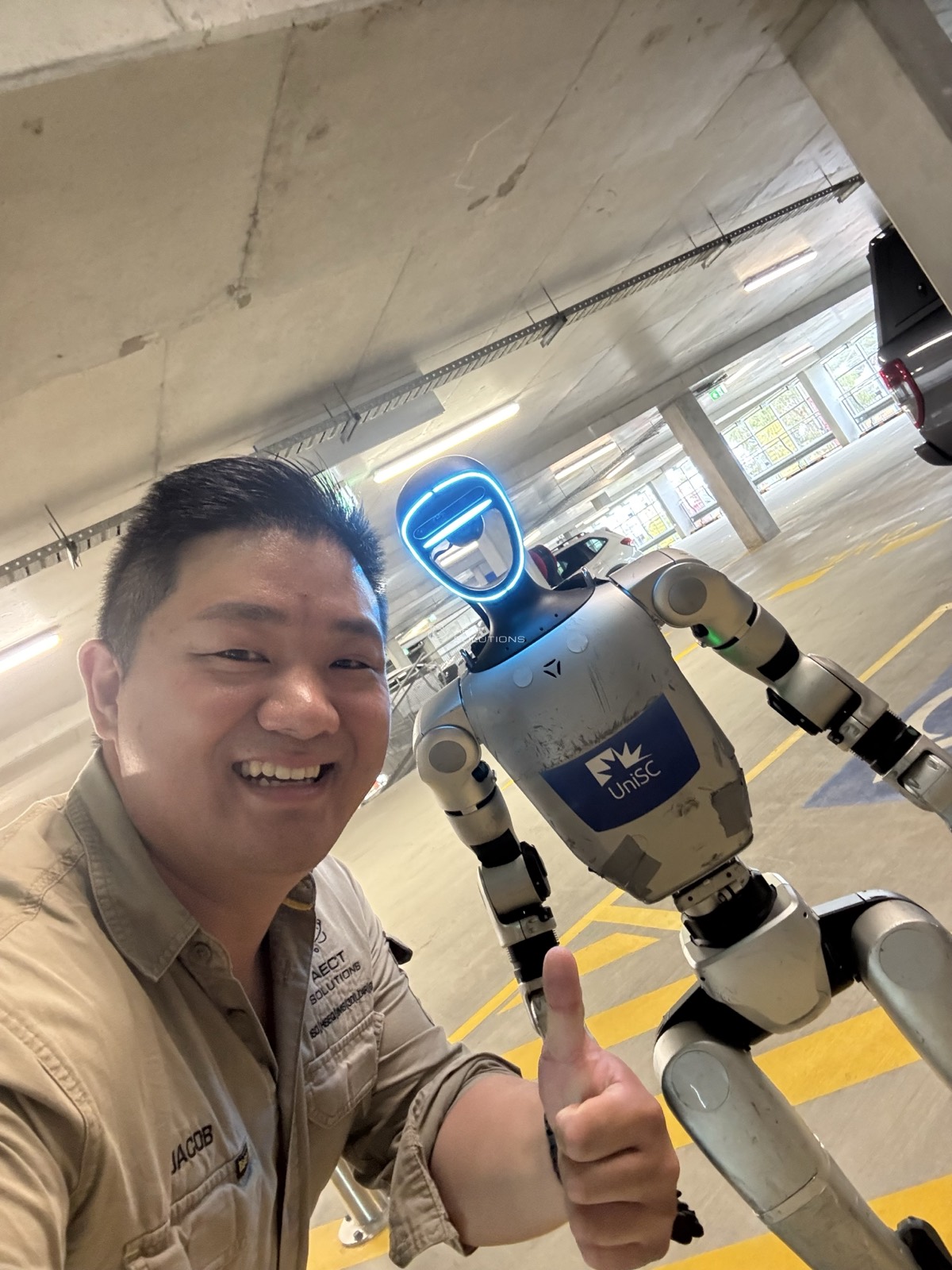
Humanoid robot at a physical-AI collaboration session
更多高校合作正在全澳推进中——协议确认后陆续更新。
一线现场

与客户同行 · 深入现场 · 站在行业前沿

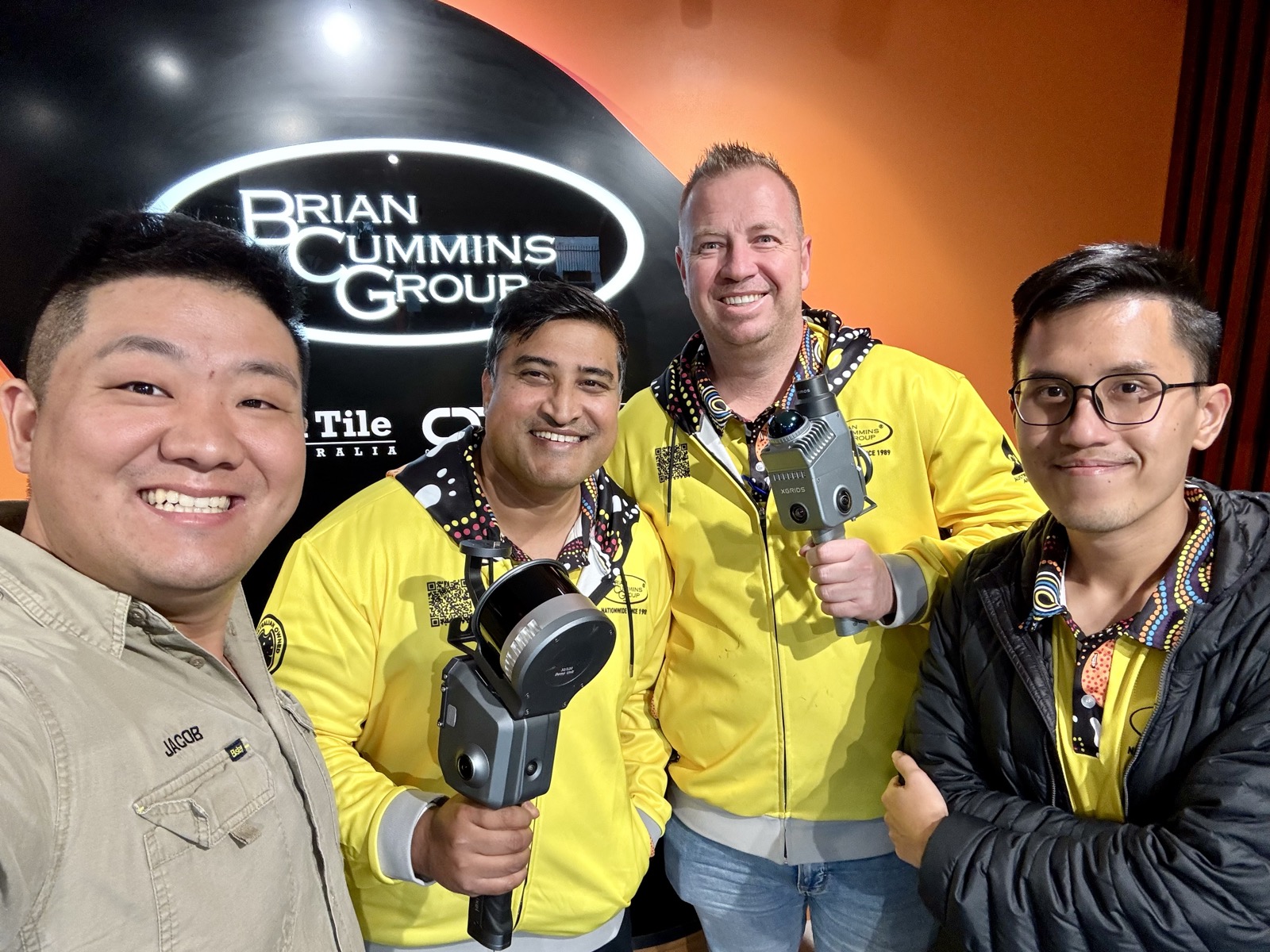
Brian Cummins Group team with their XGRIDS scanners
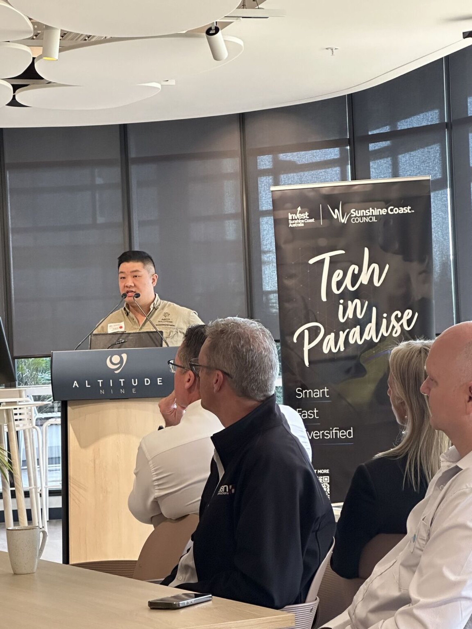
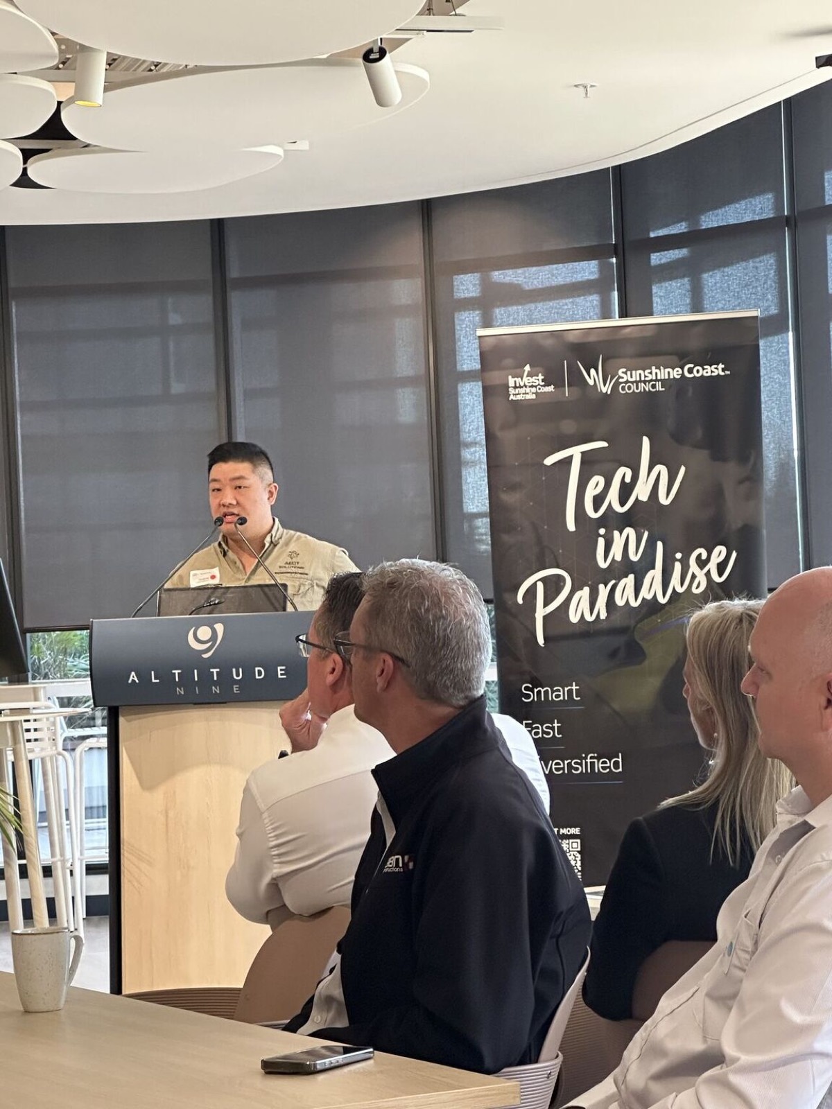
Jacob Lee presenting at the Tech in Paradise conference
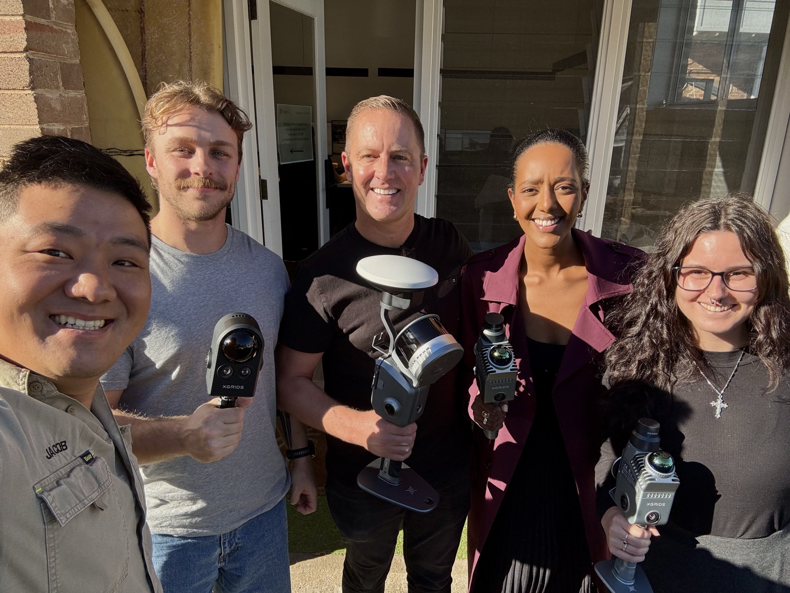
Customer team with XGRIDS scanners and RTK equipment
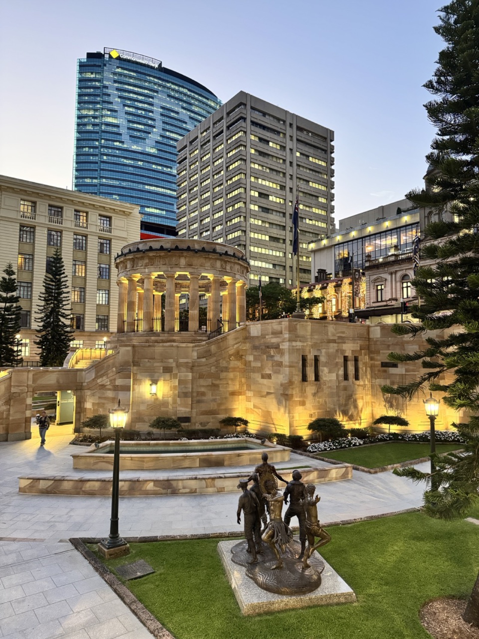
Scanning Brisbane heritage precinct at dusk
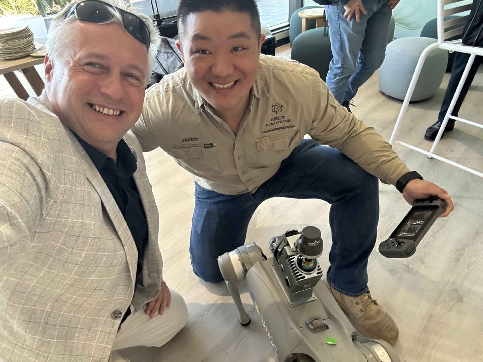
Robot dog scanning demonstration at an industry event
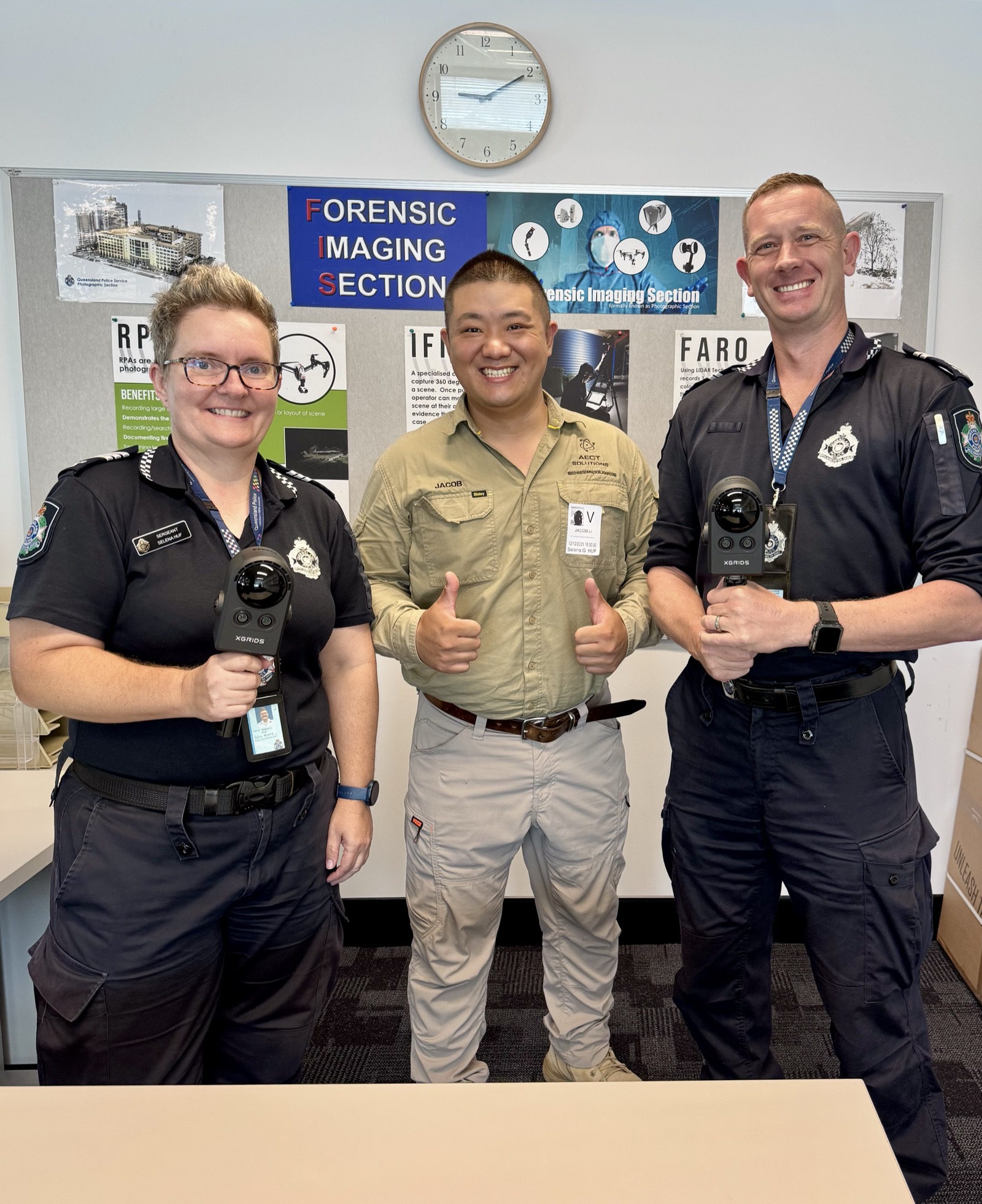
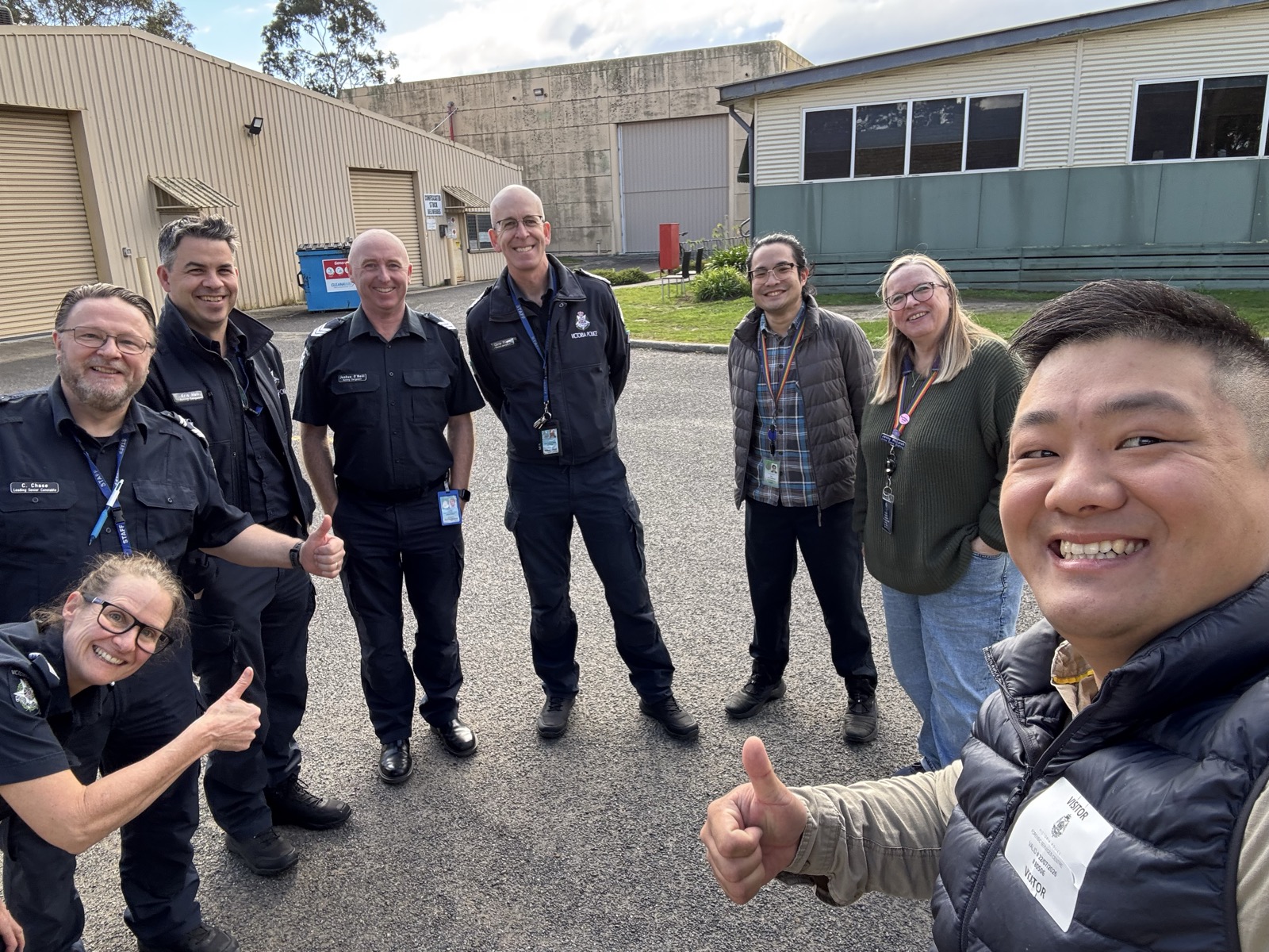
Police forensic imaging unit PortalCam training
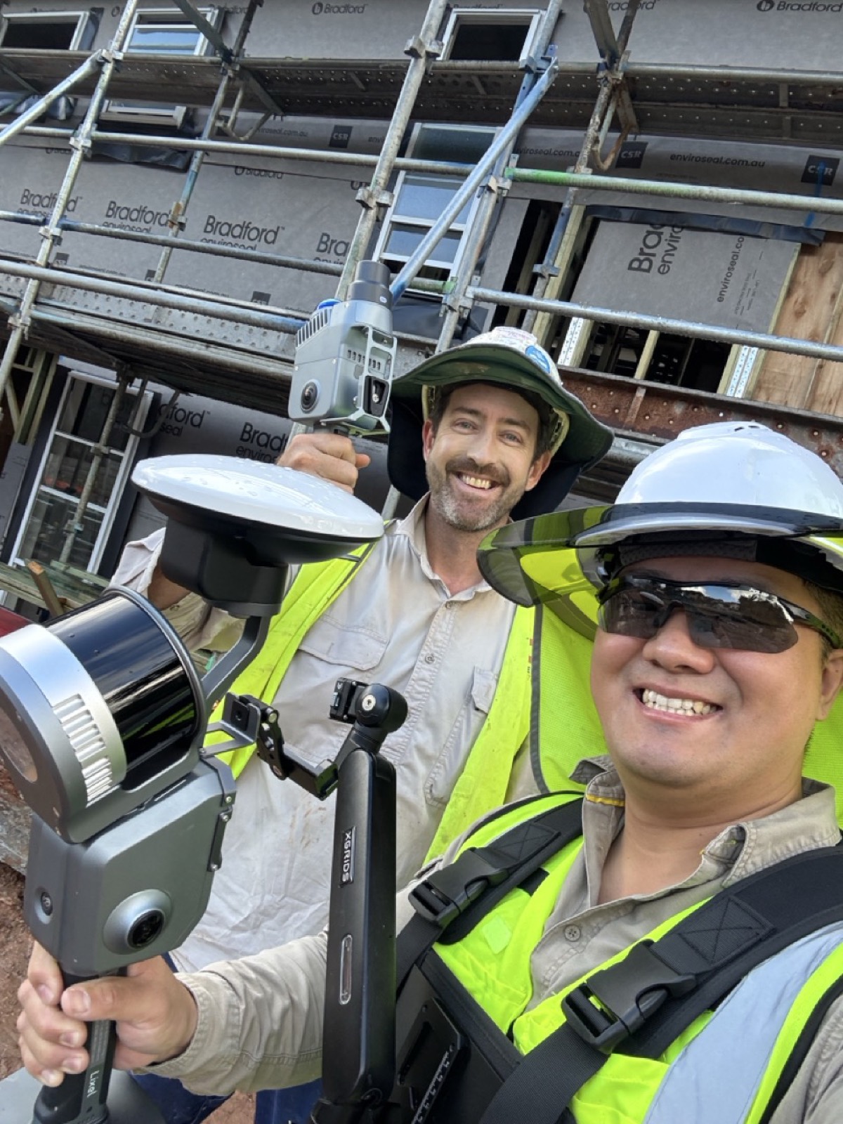
Scan-verified site inspection on a construction site
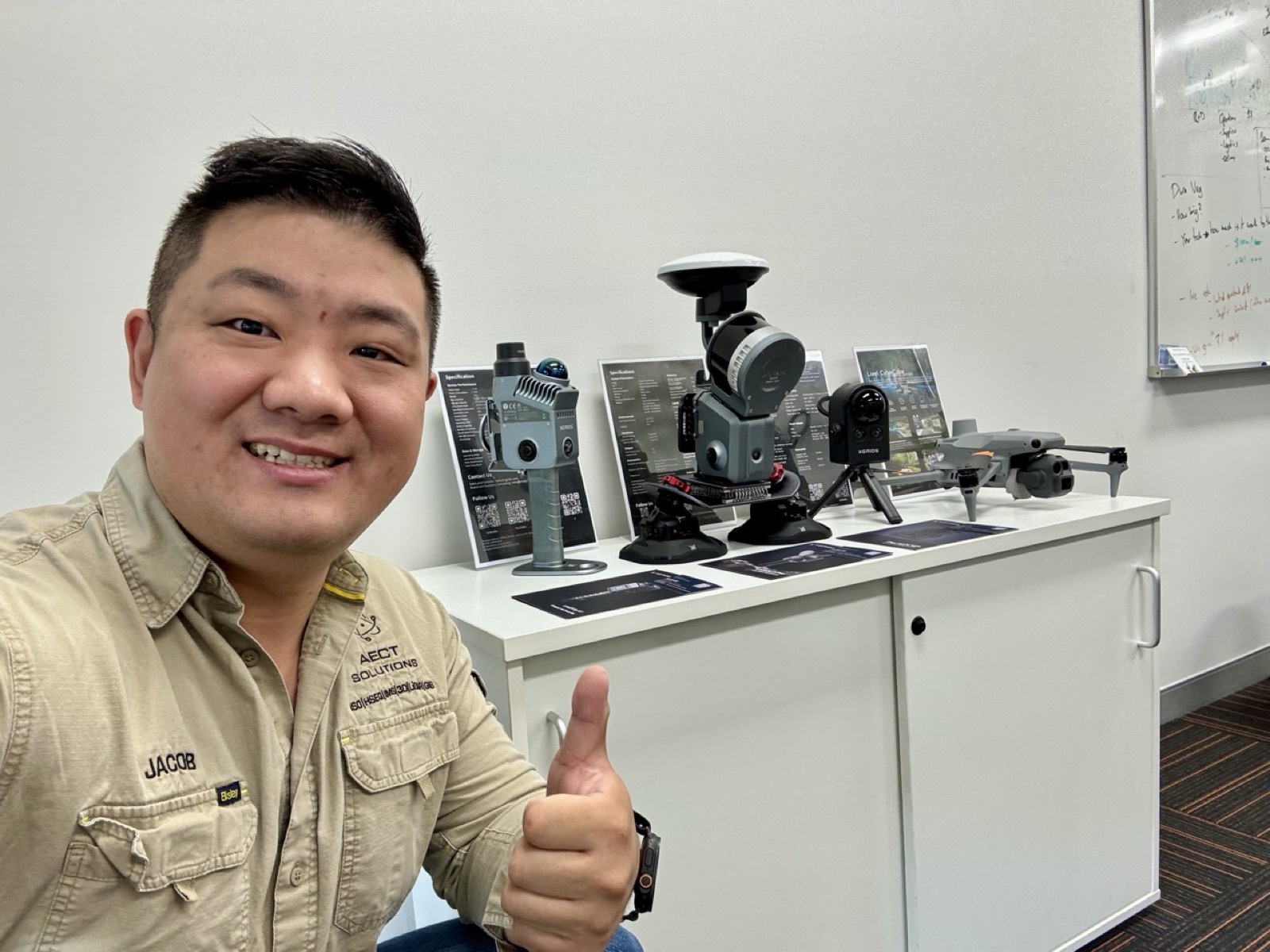
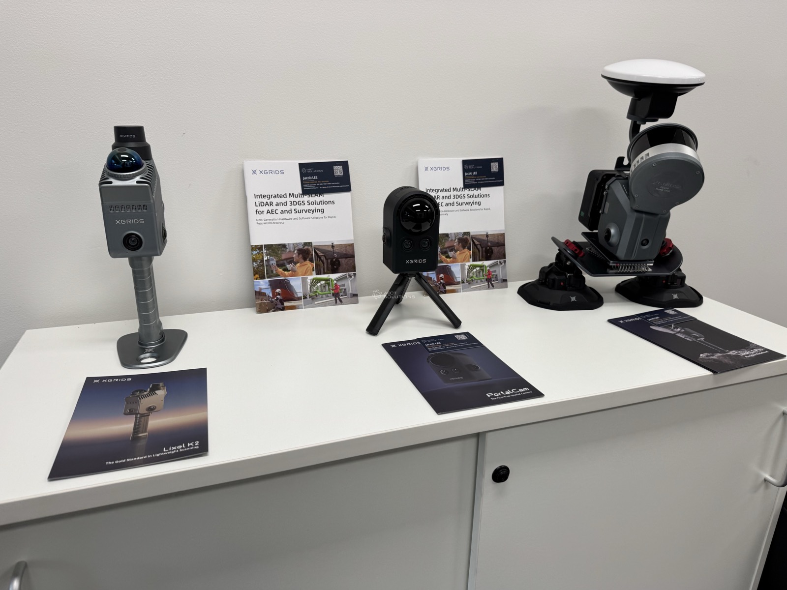
AECT exhibition table with scanners, drones and workstation
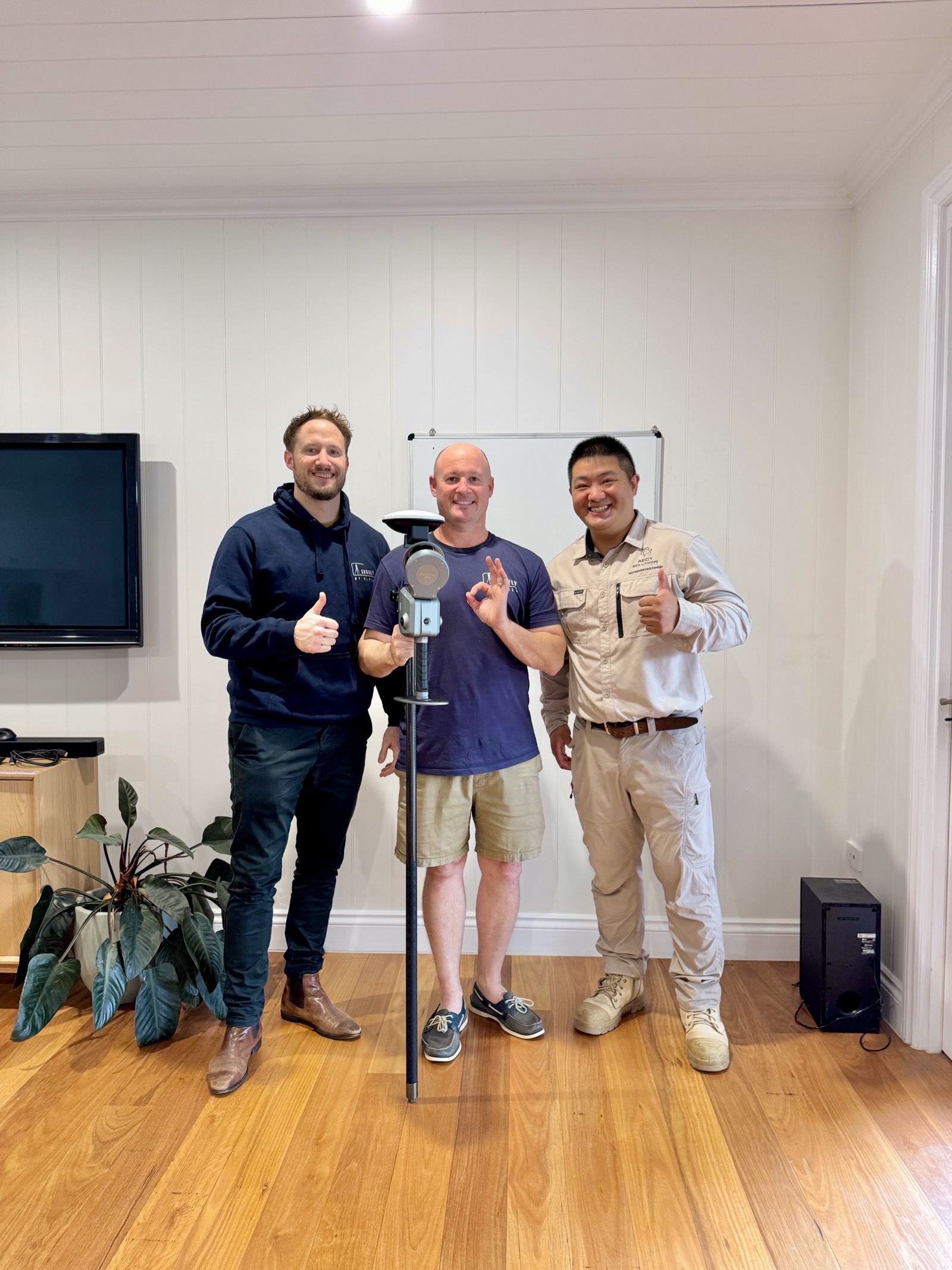
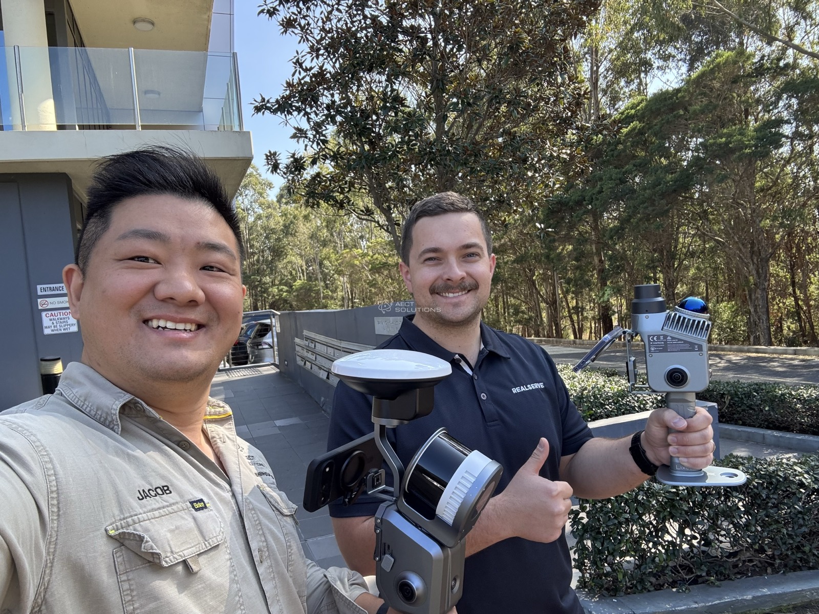
Survey team onboarding with new XGRIDS scanner
Coastal monitoring capture with RTK on the beach
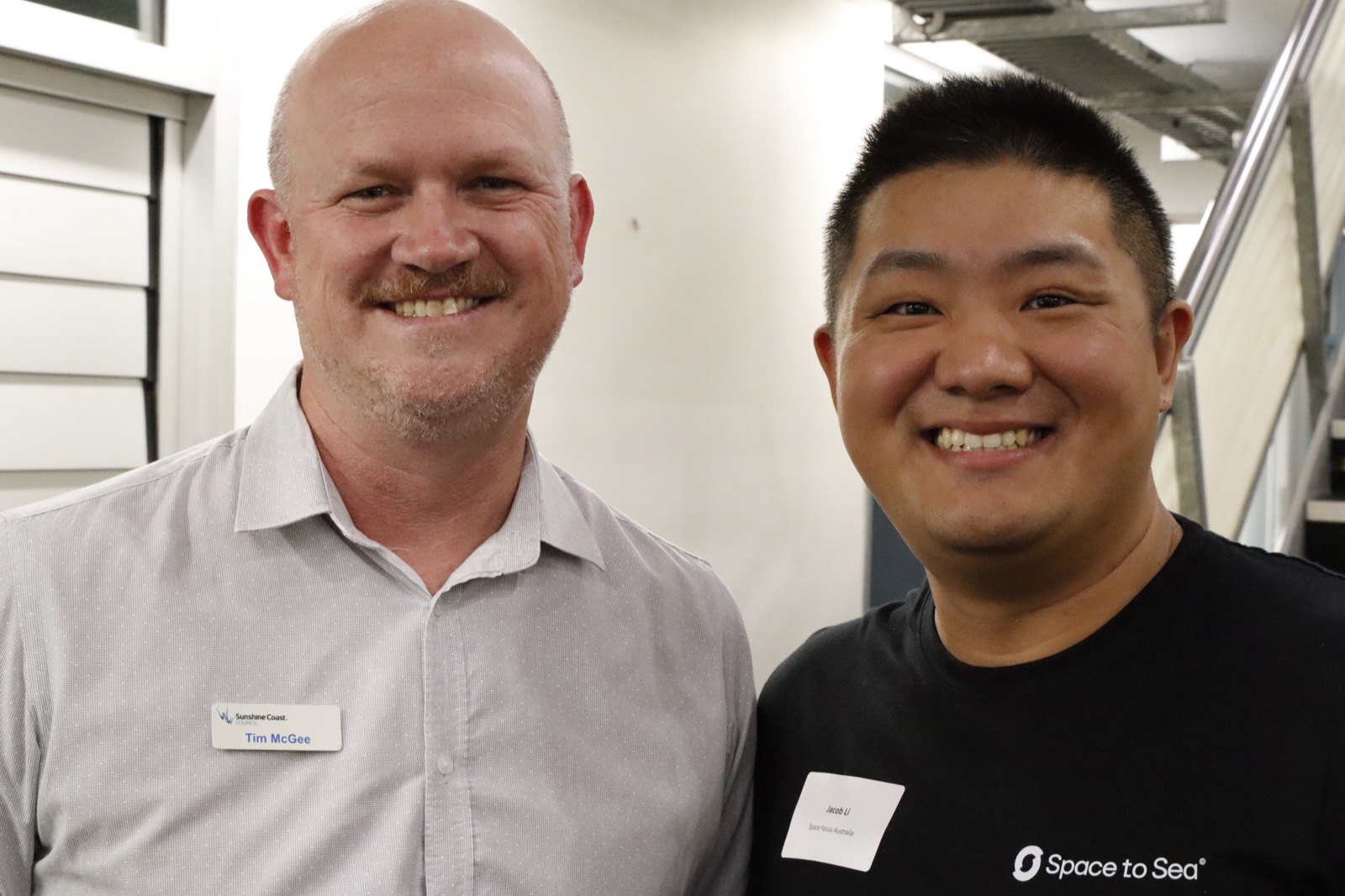
Space to Sea accelerator program cohort
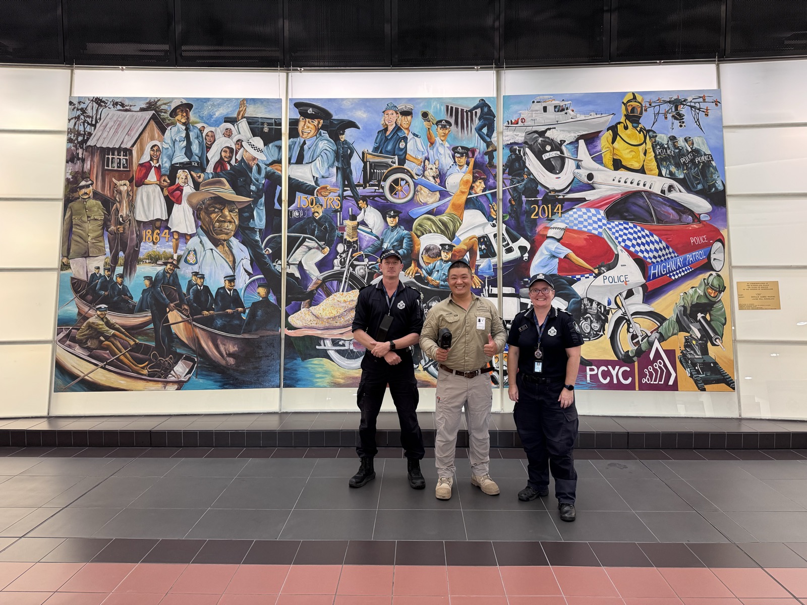
Police team scanning a heritage mural indoors
Training cohort on a live scanning site
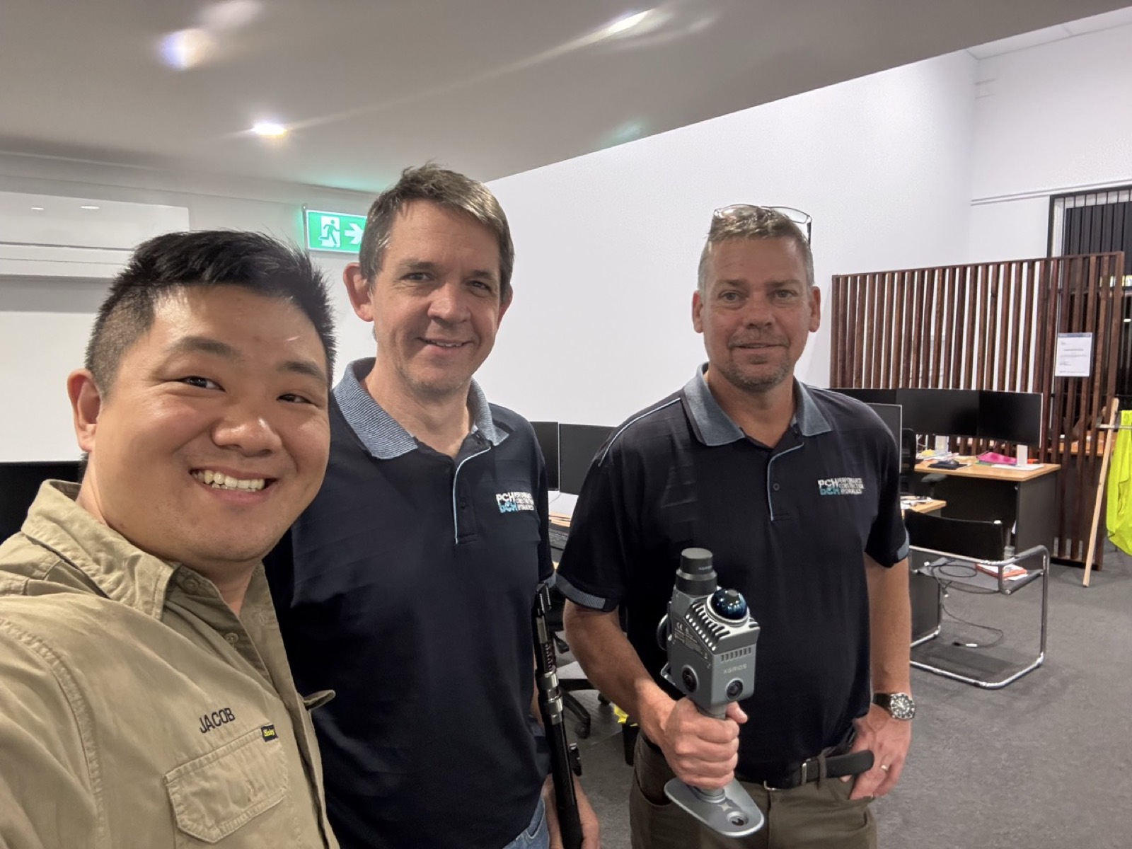
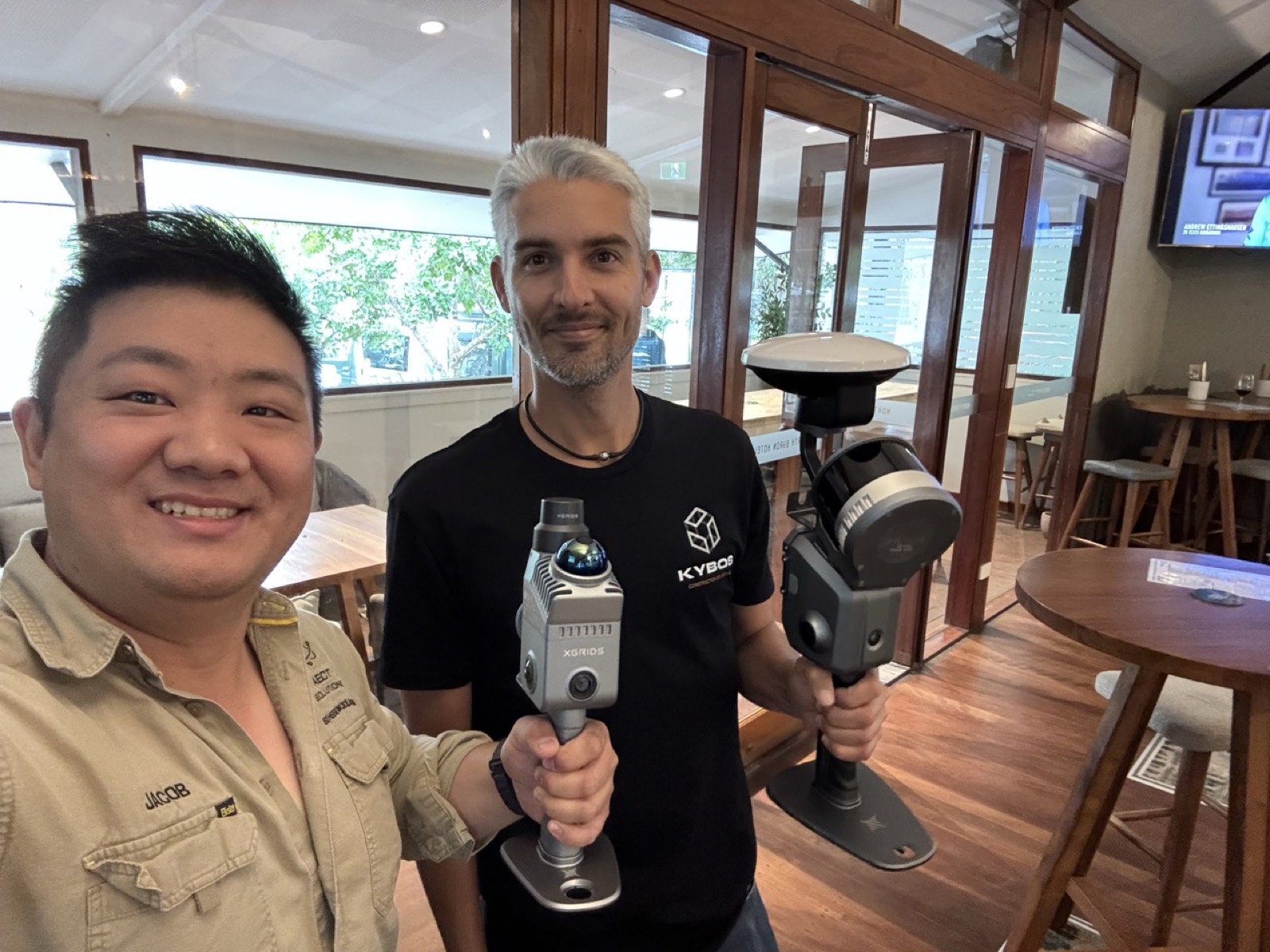
Scanner handover with client team
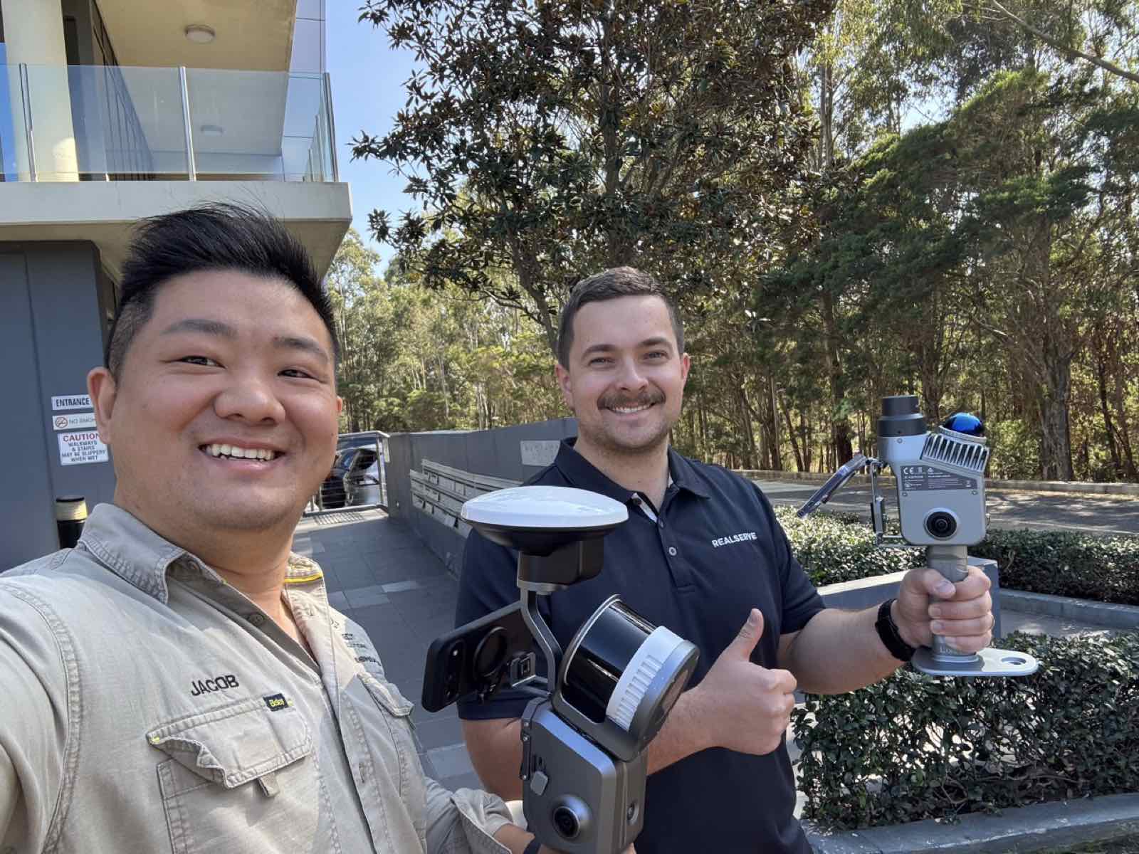
Scanner handover with RTK and SLAM LiDAR kit
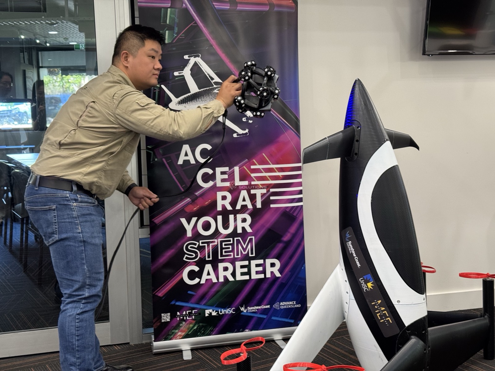
Live scanning demonstration at a STEM careers event
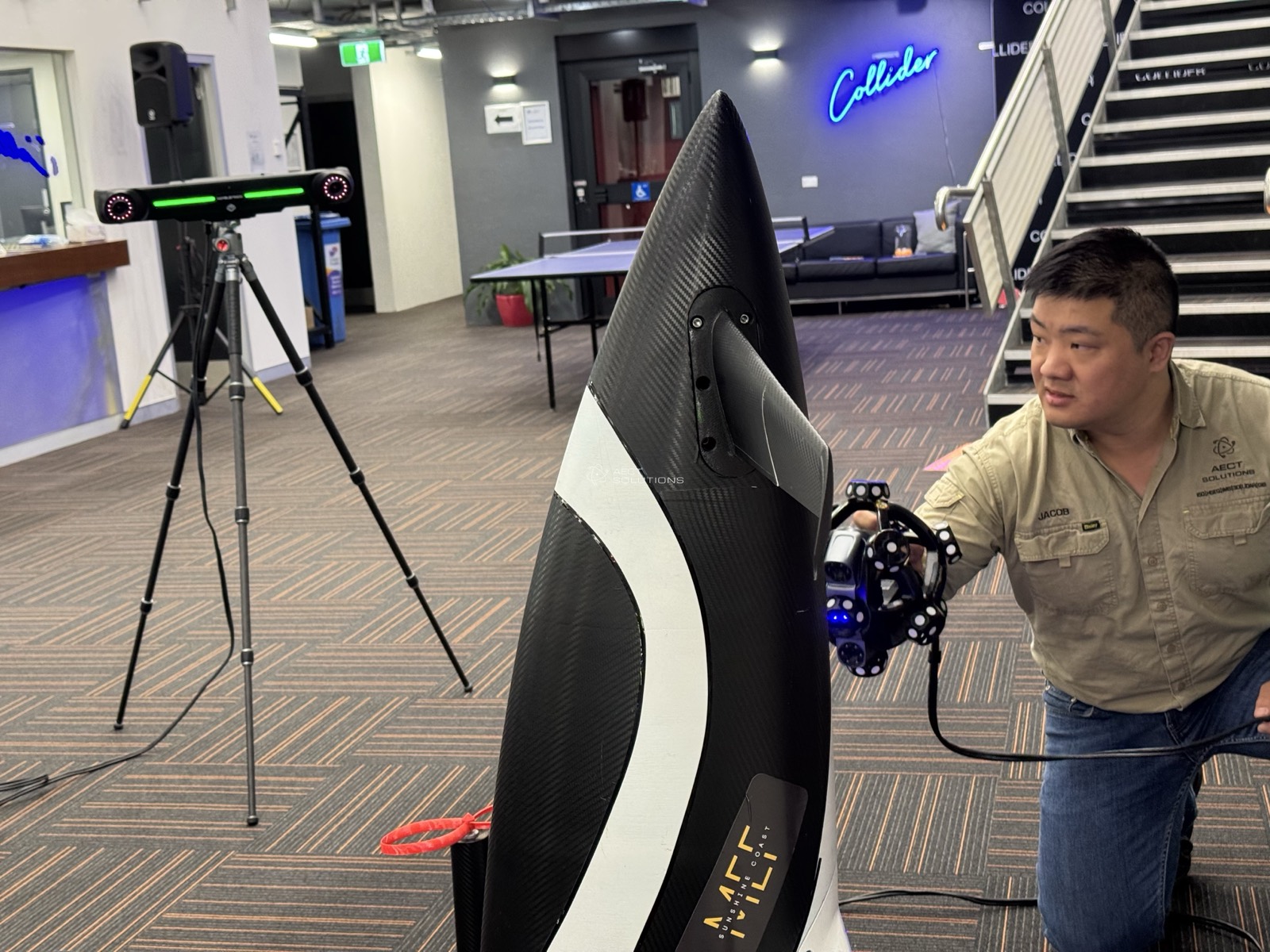
SLAM capture inside the Collider innovation centre
Terrestrial scanning setup at an indoor venue
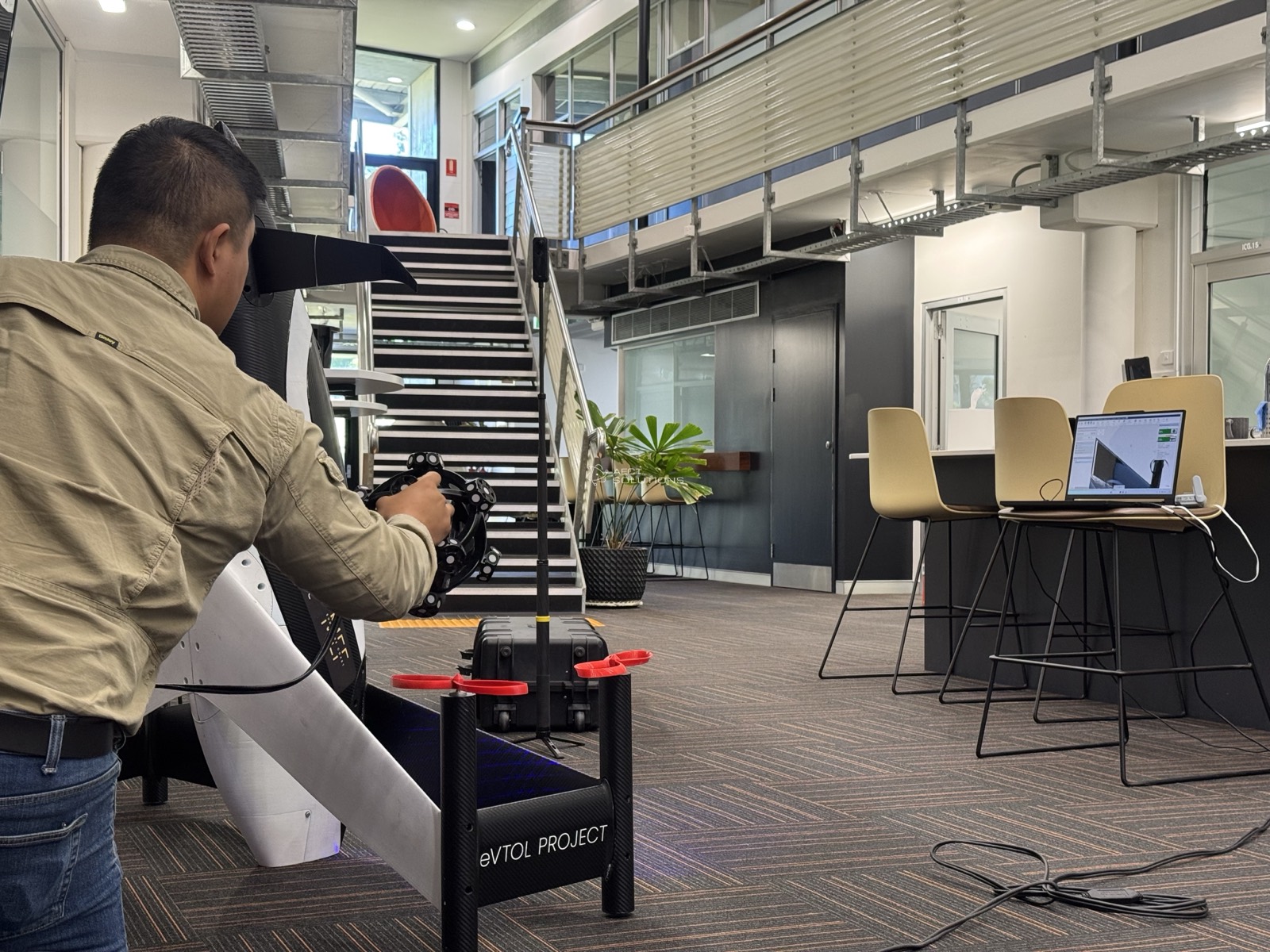
Metrology scanning of a marine hull
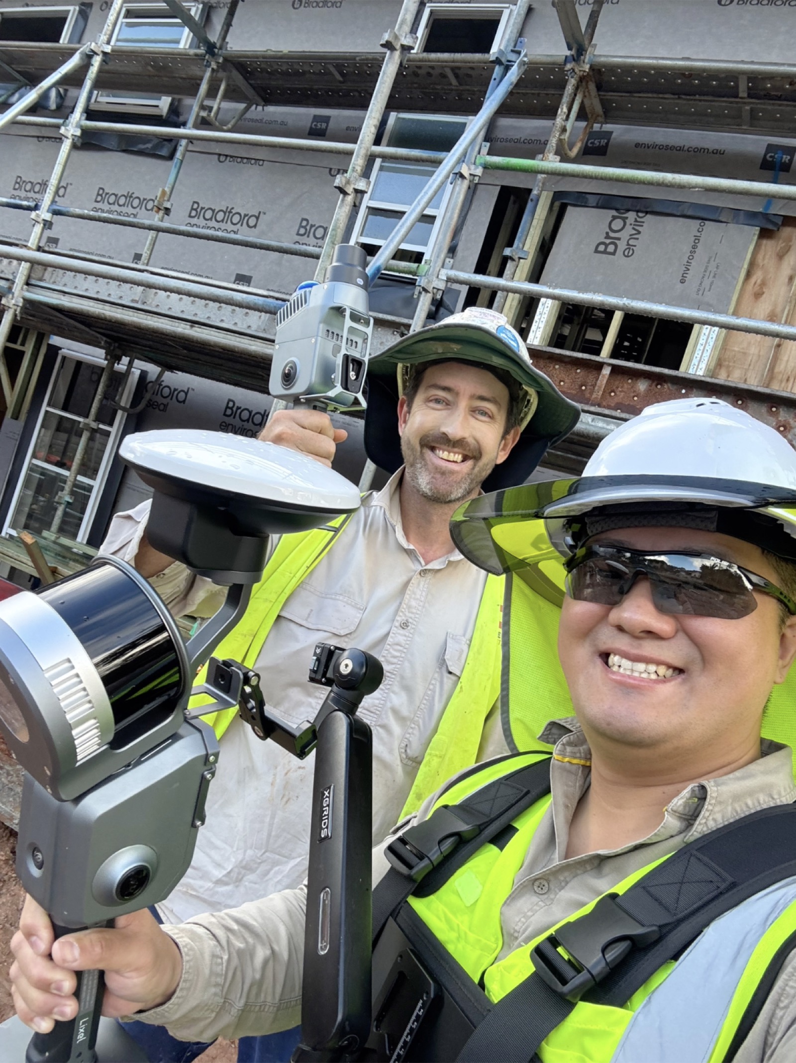
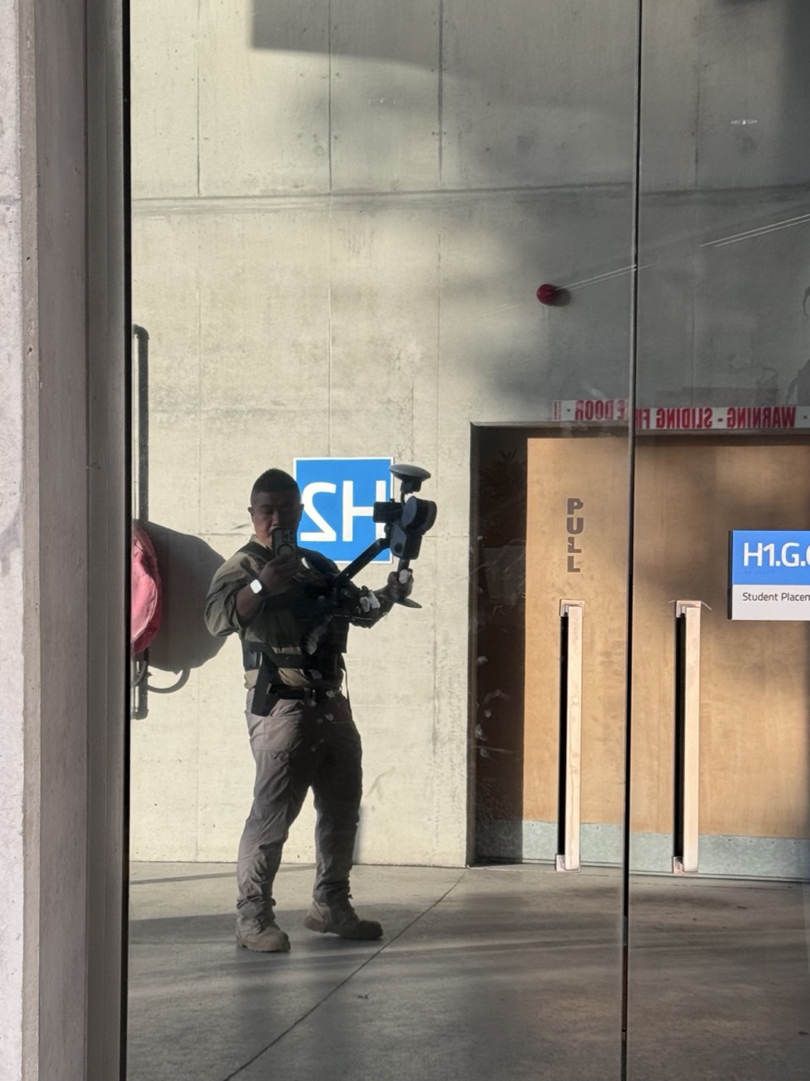
Site capture team in hi-vis with TLS and GNSS gear
Team session with handheld scanners
Industry workshop with capture equipment
On-site training with SLAM LiDAR
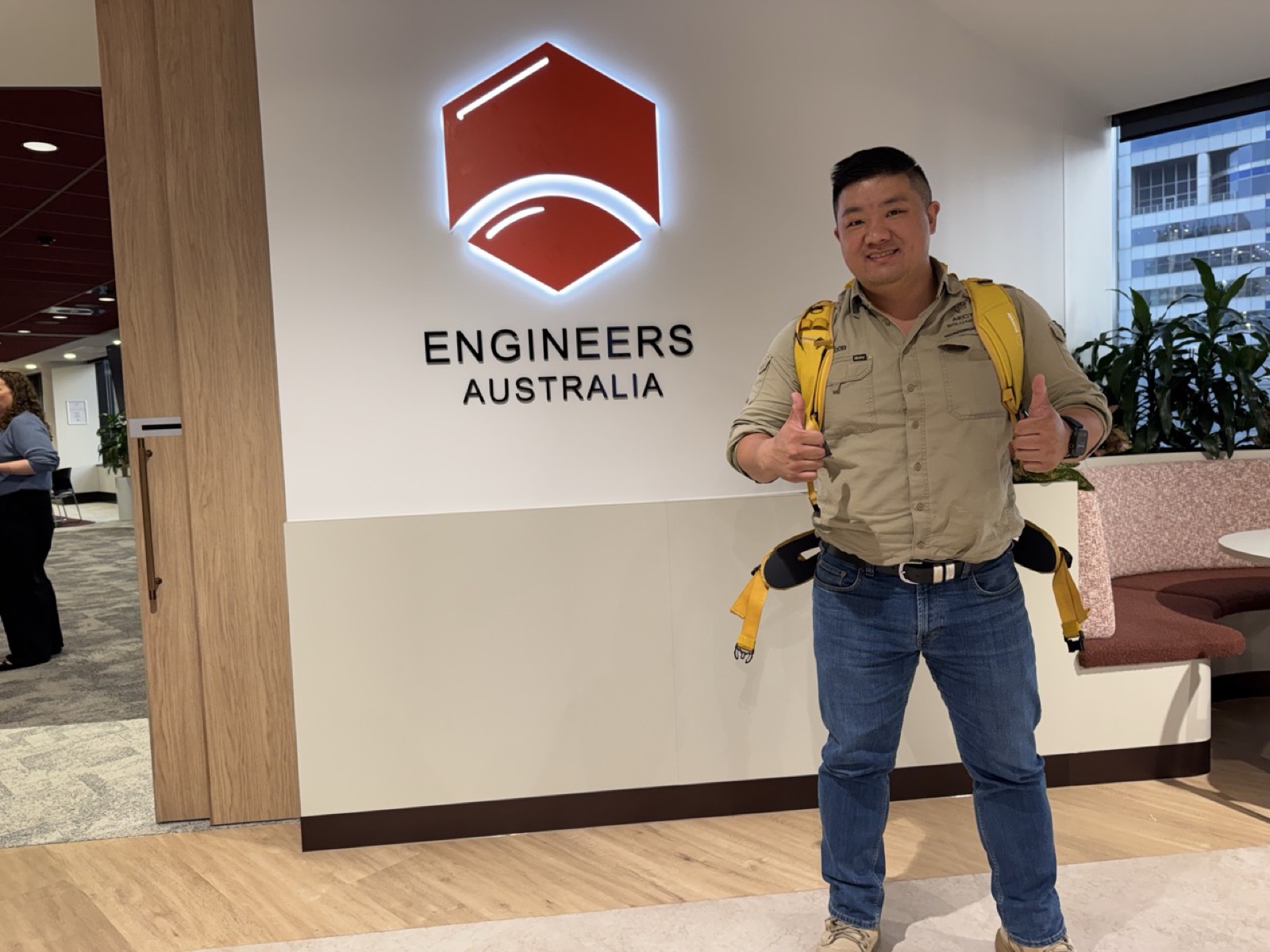
AECT at Engineers Australia
Brian Cummins Group team with their XGRIDS scanners
Jacob Lee presenting at the Tech in Paradise conference
Customer team with XGRIDS scanners and RTK equipment
Scanning Brisbane heritage precinct at dusk
Robot dog scanning demonstration at an industry event
Police forensic imaging unit PortalCam training
Scan-verified site inspection on a construction site
AECT exhibition table with scanners, drones and workstation
Survey team onboarding with new XGRIDS scanner
Coastal monitoring capture with RTK on the beach
Space to Sea accelerator program cohort
Police team scanning a heritage mural indoors
Training cohort on a live scanning site
Scanner handover with client team
Scanner handover with RTK and SLAM LiDAR kit
Live scanning demonstration at a STEM careers event
SLAM capture inside the Collider innovation centre
Terrestrial scanning setup at an indoor venue
Metrology scanning of a marine hull
Site capture team in hi-vis with TLS and GNSS gear
Team session with handheld scanners
Industry workshop with capture equipment
On-site training with SLAM LiDAR
AECT at Engineers Australia
Product display with capture hardware lineup
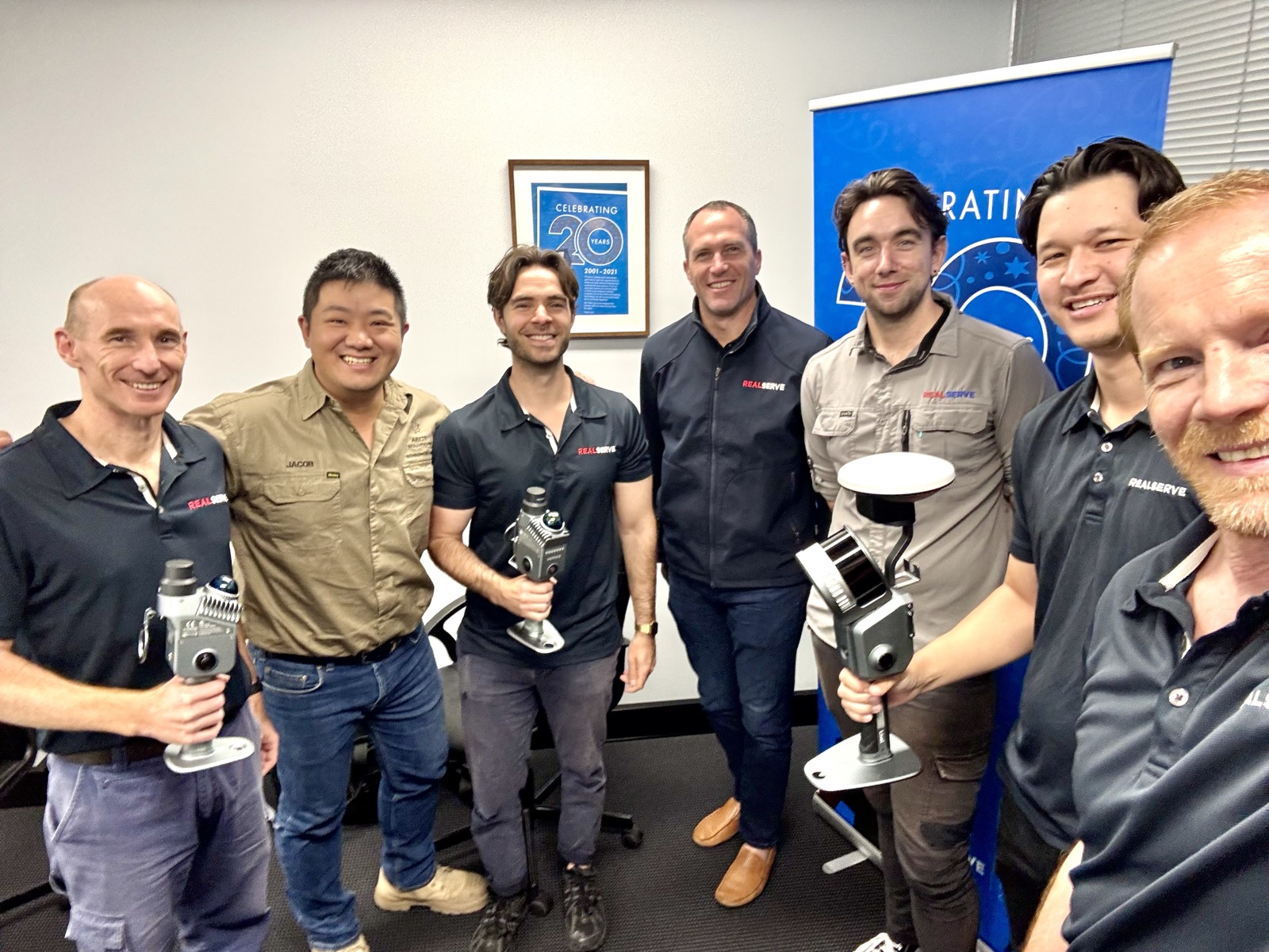
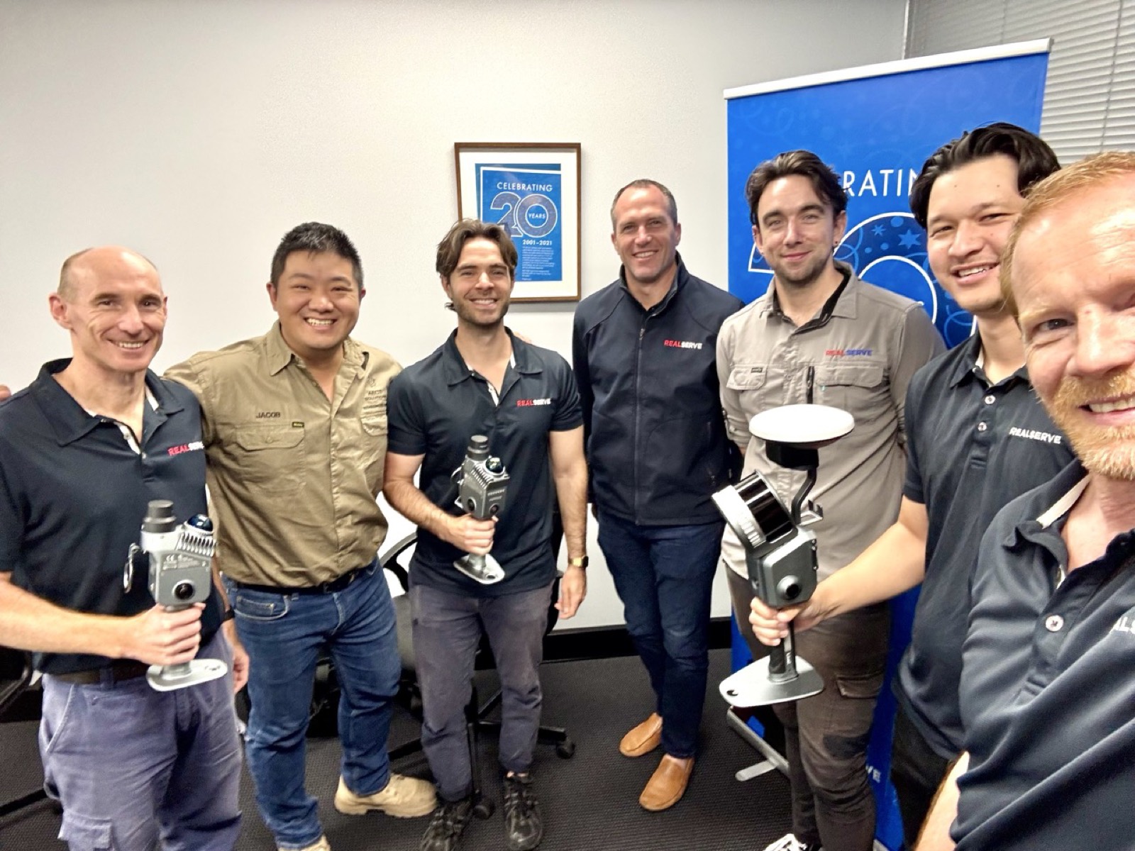
Channel partner meetup with XGRIDS scanners
Scanning technology showcase
Field capture kit ready for deployment
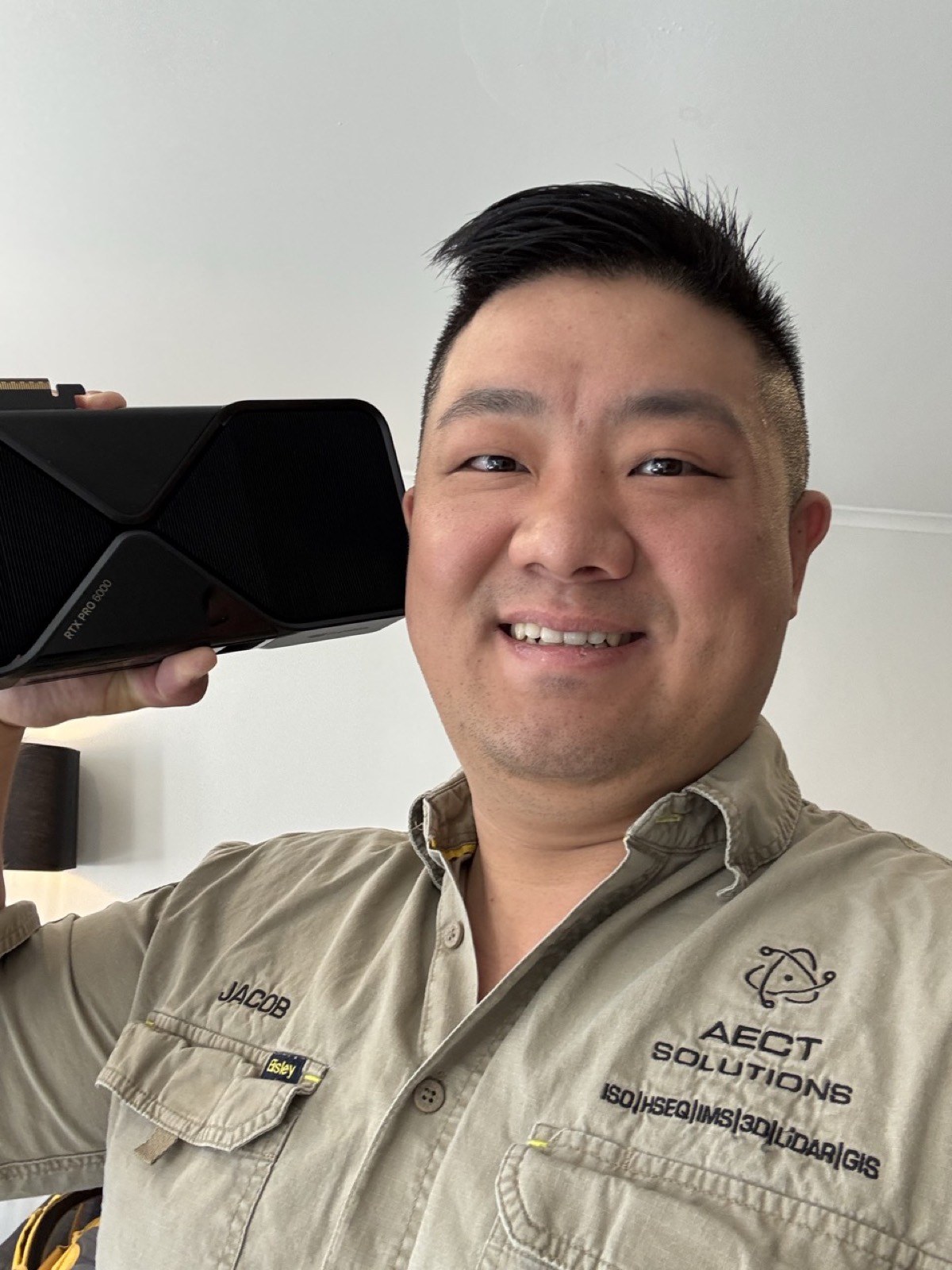
NVIDIA RTX PRO workstation hardware for 3DGS processing
SCANOLOGY metrology display at the AECT office
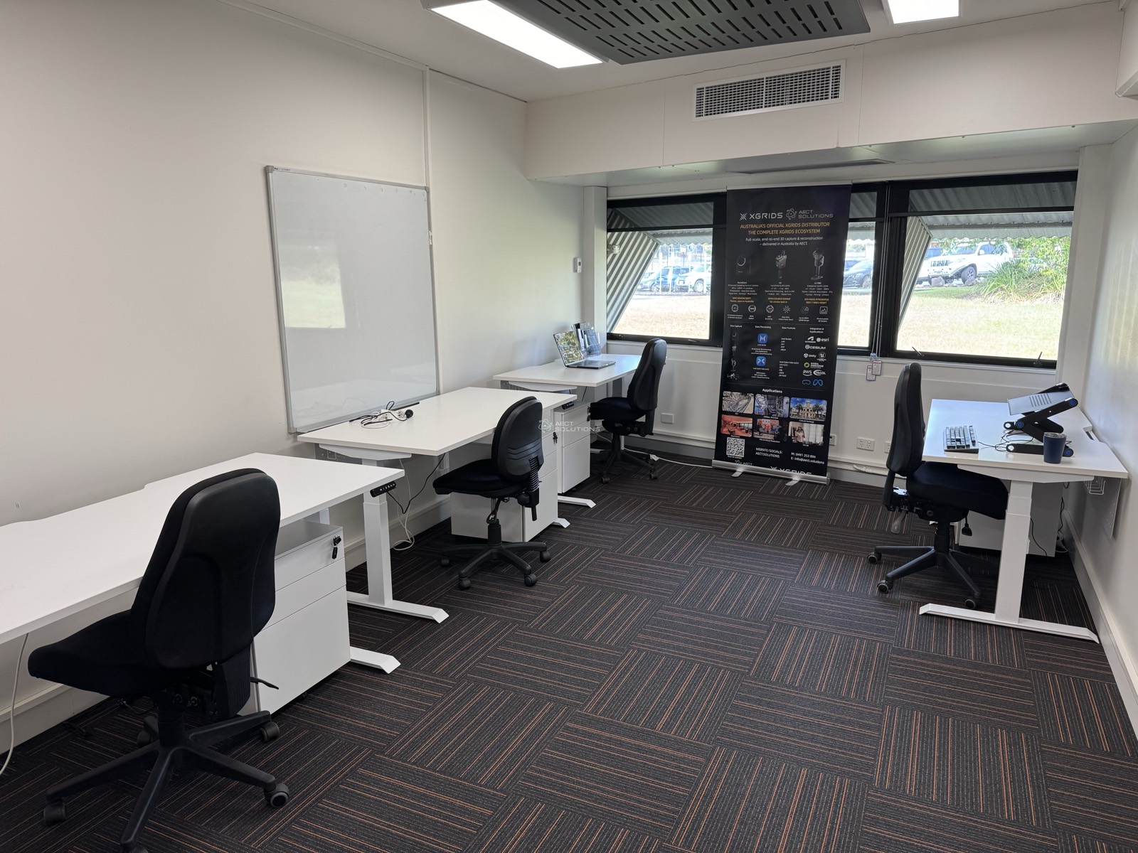
AECT training room at the Collider innovation centre
Jacob Lee presenting beside a ground control point marker
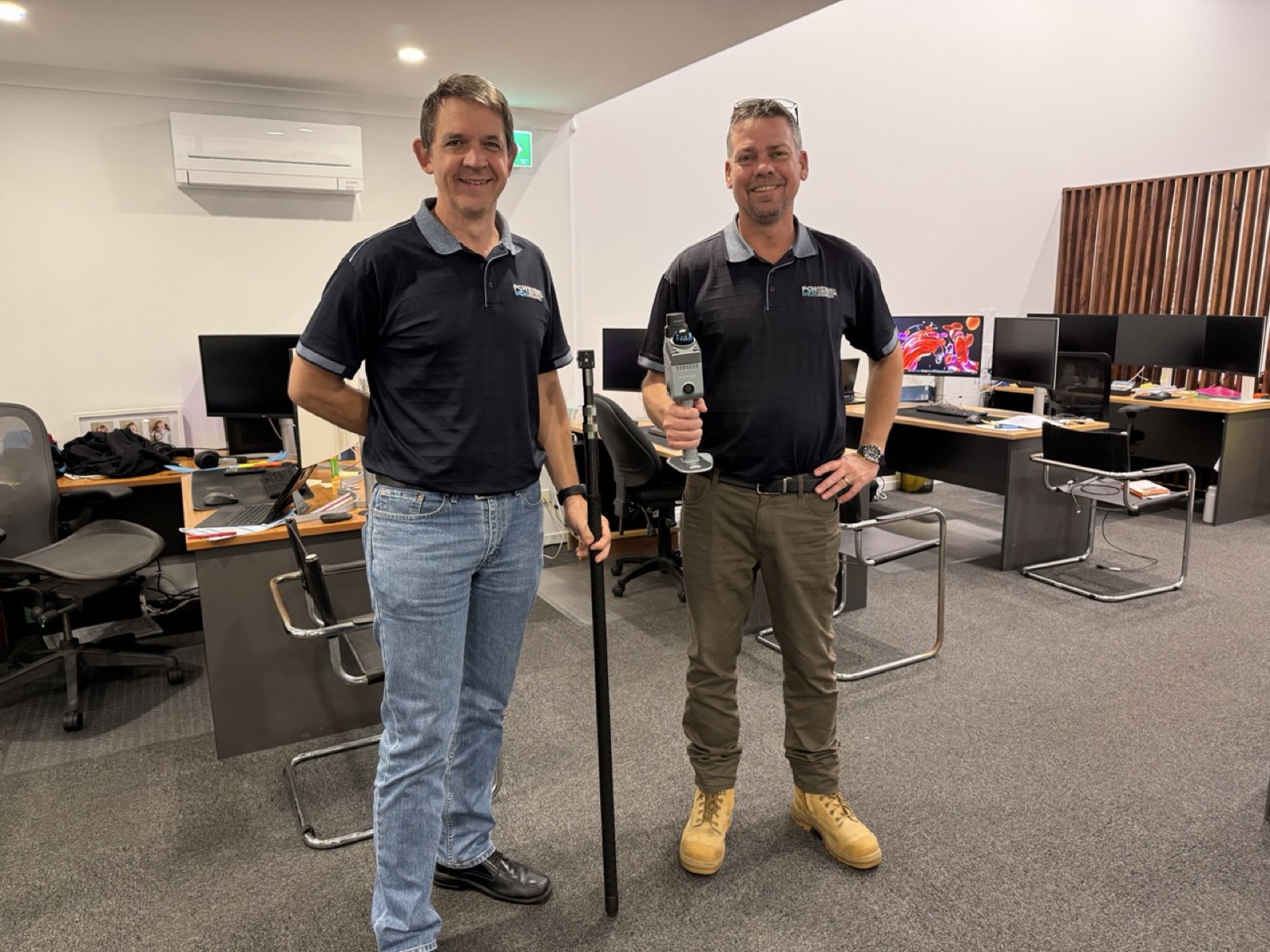
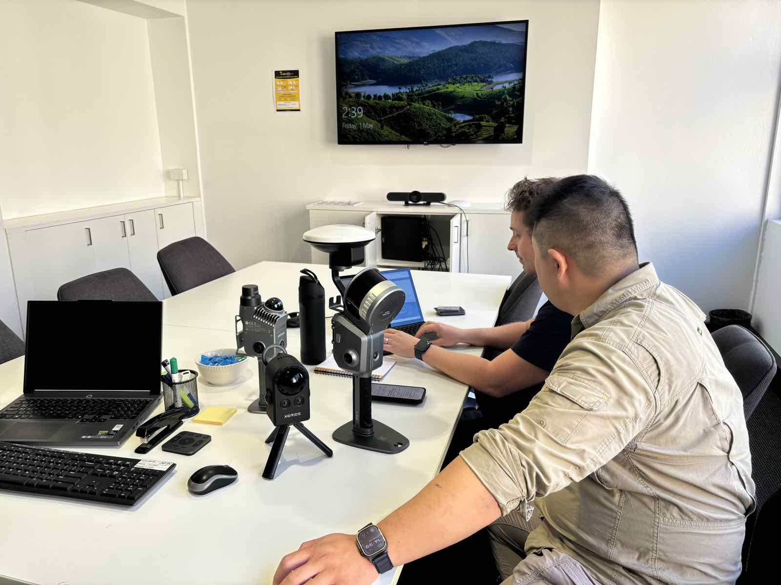
Equipment setup session with capture hardware and an RTK pole
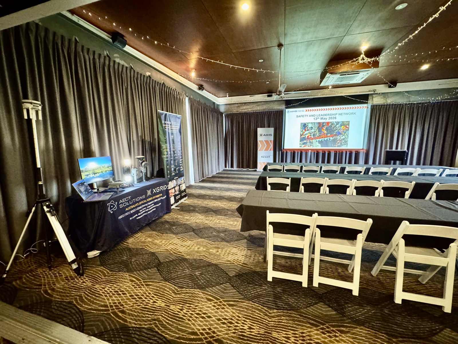
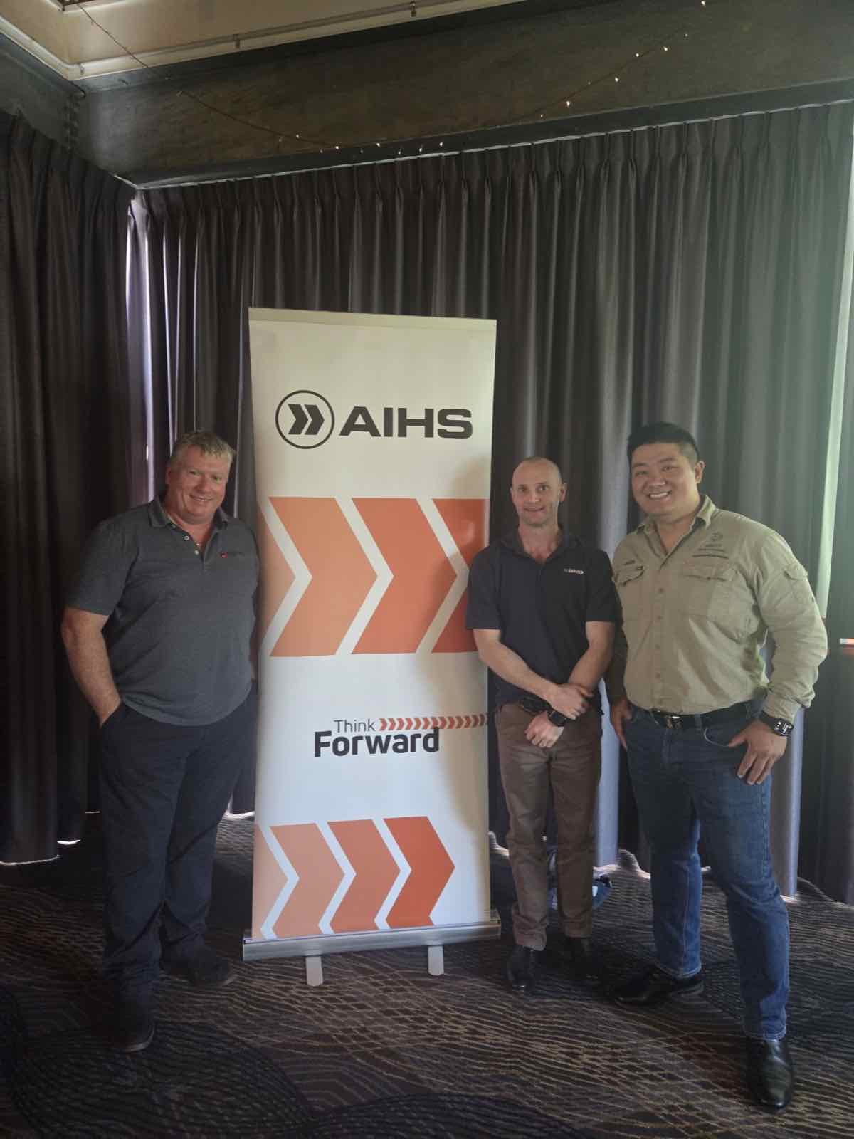
AECT team at the AIHS industry event
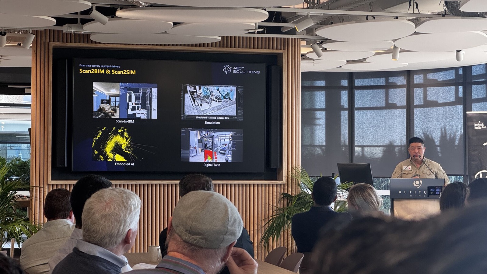
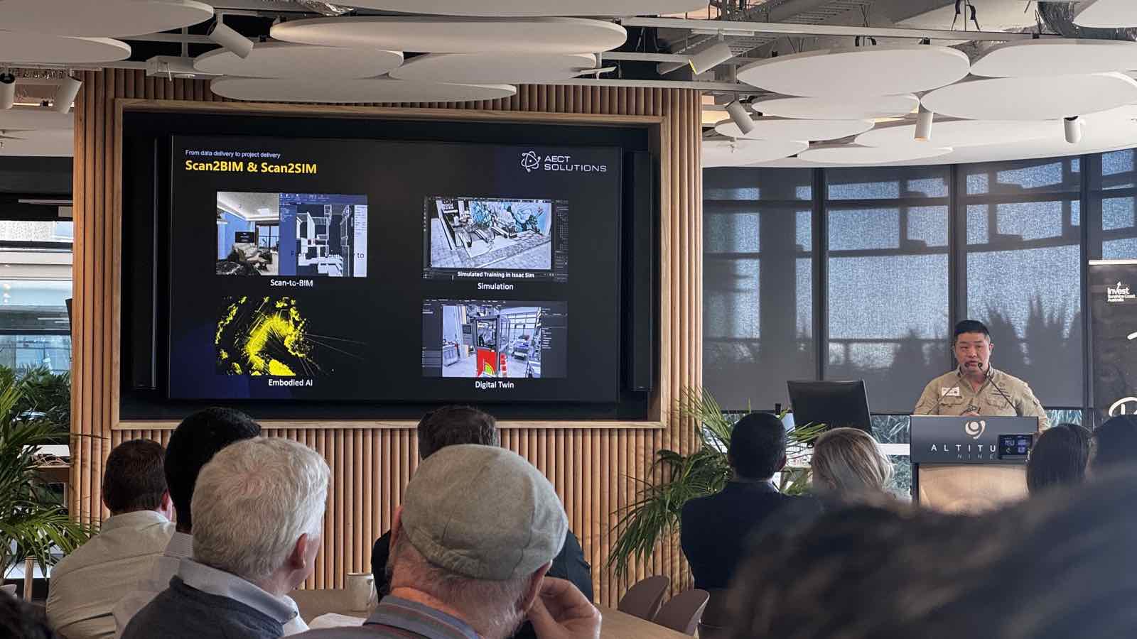
Presenting Scan-to-BIM and Scan-to-Sim workflows to an industry audience
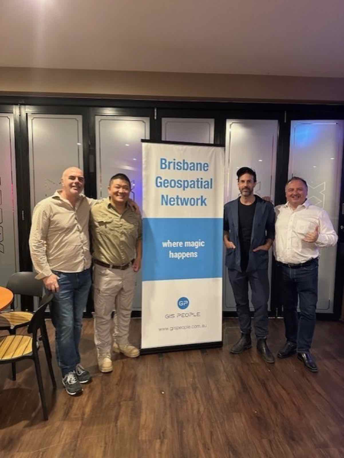
Brisbane Geospatial Network industry meetup
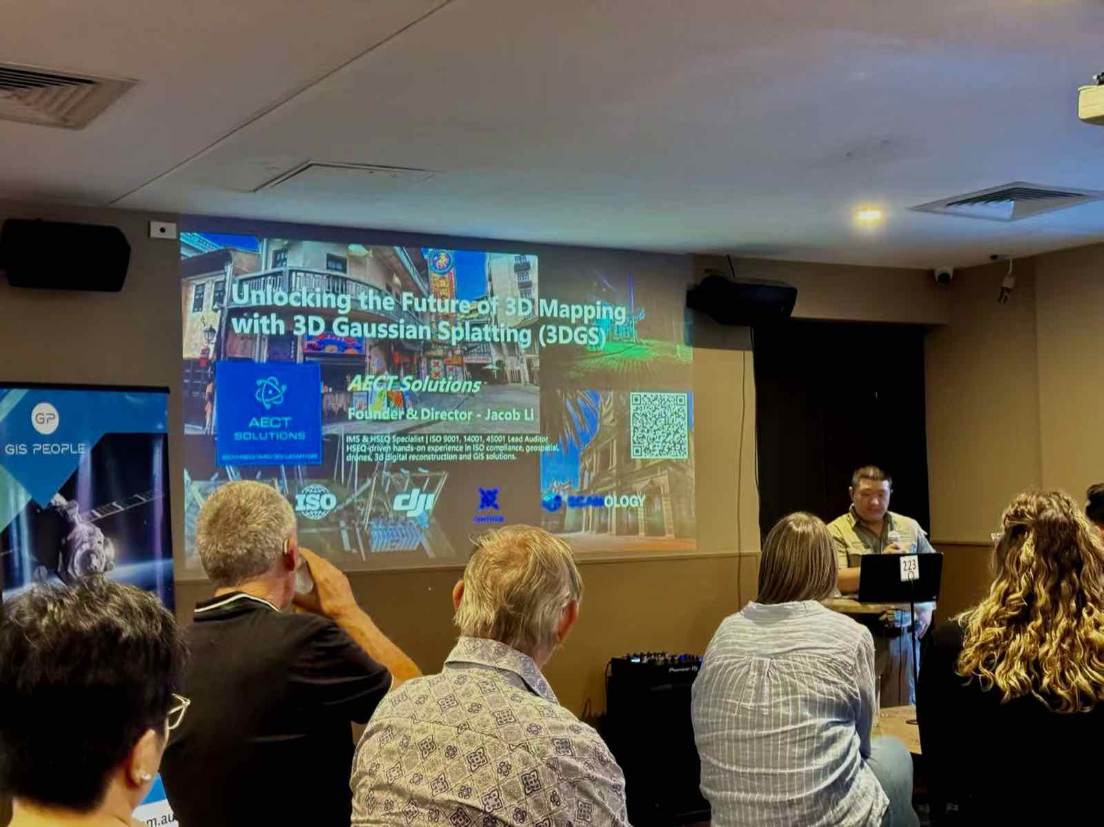
Presenting on 3D Gaussian Splatting at an industry event
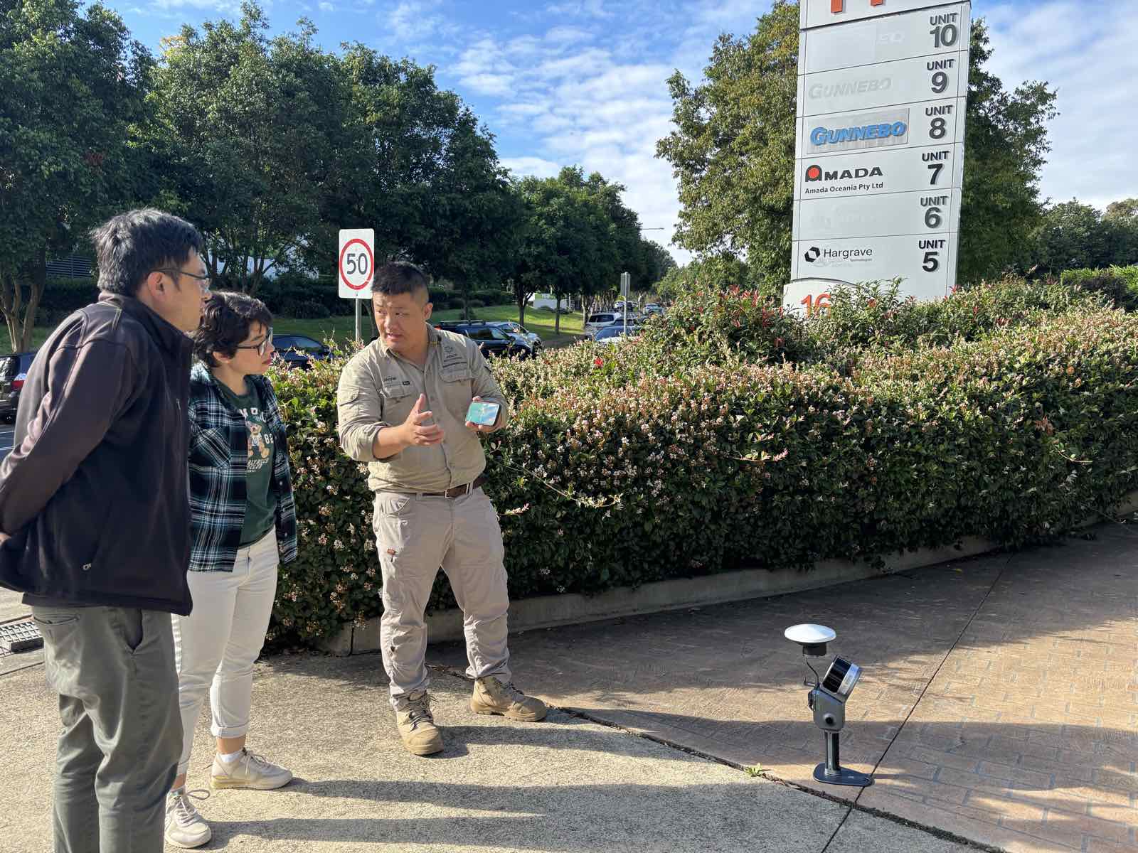
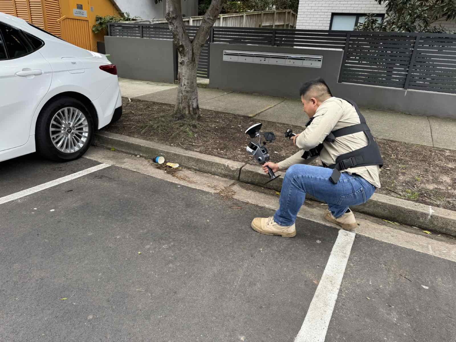
Handheld SLAM capture in a car park
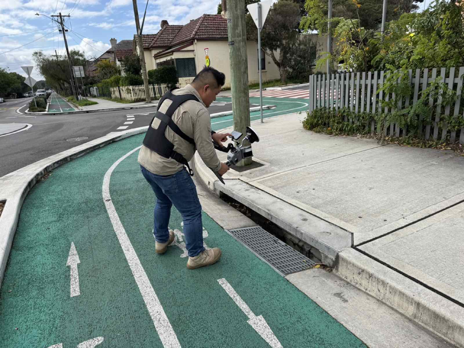
Handheld SLAM capture along a street corridor
AECT team in the field with a handheld scanner
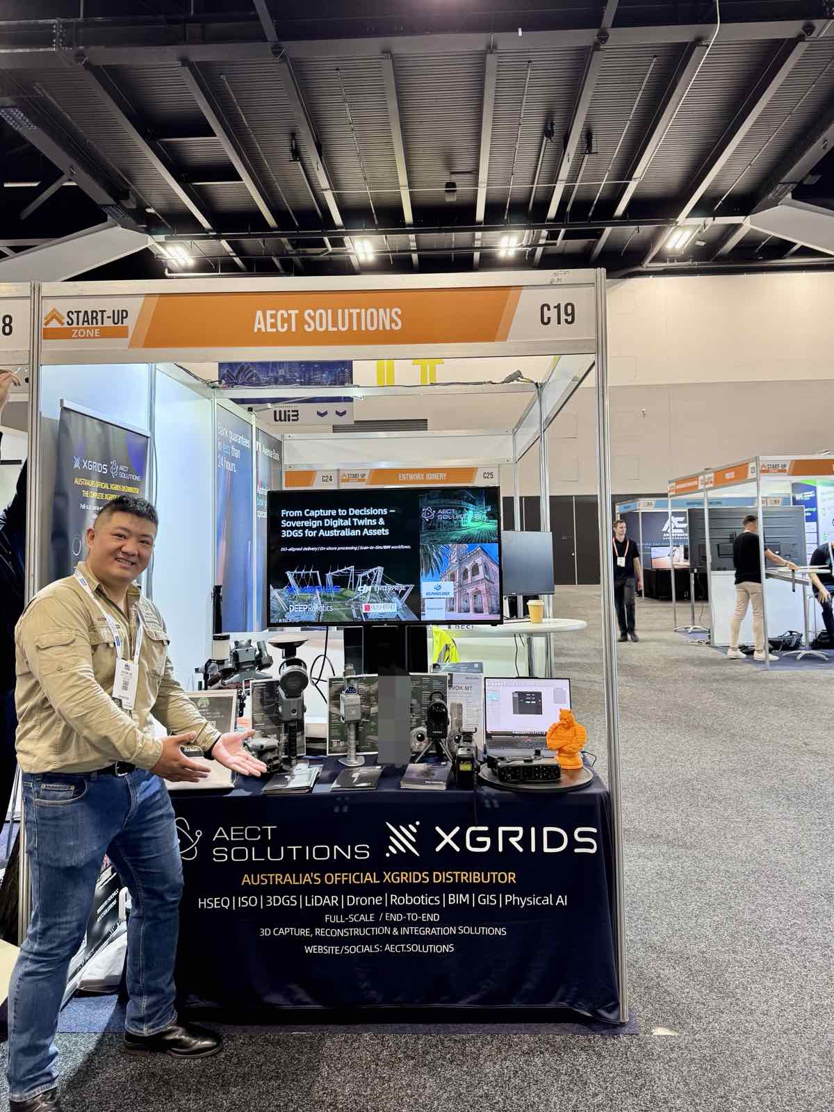
AECT Solutions Start-Up Zone booth at a Sydney trade expo
SLAM capture inside a university building
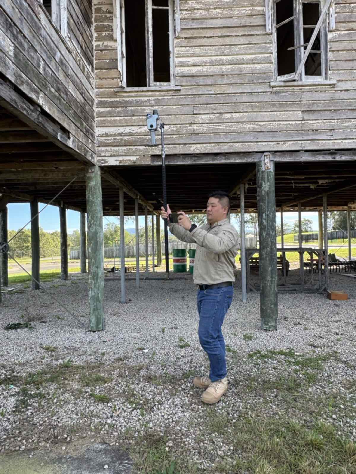
Pole-mounted scanning beneath a heritage timber structure
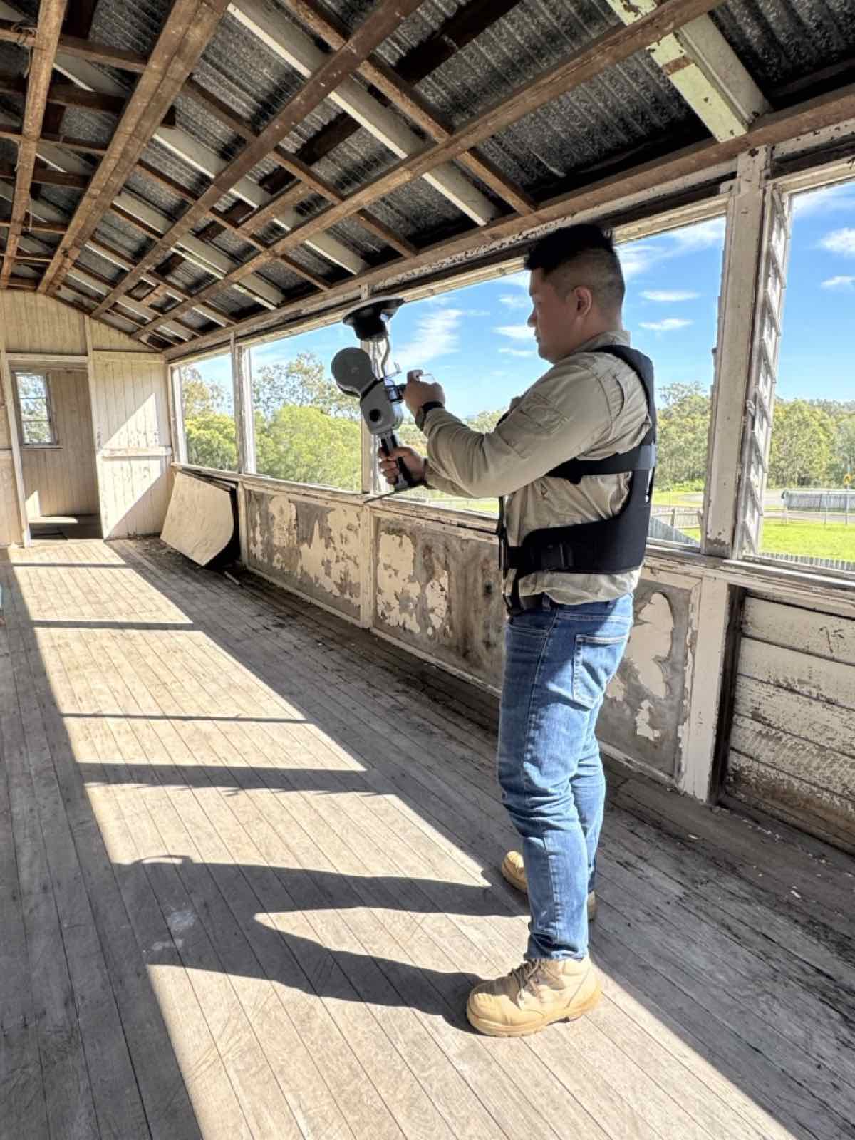
Harness-mounted scanning inside a heritage timber building
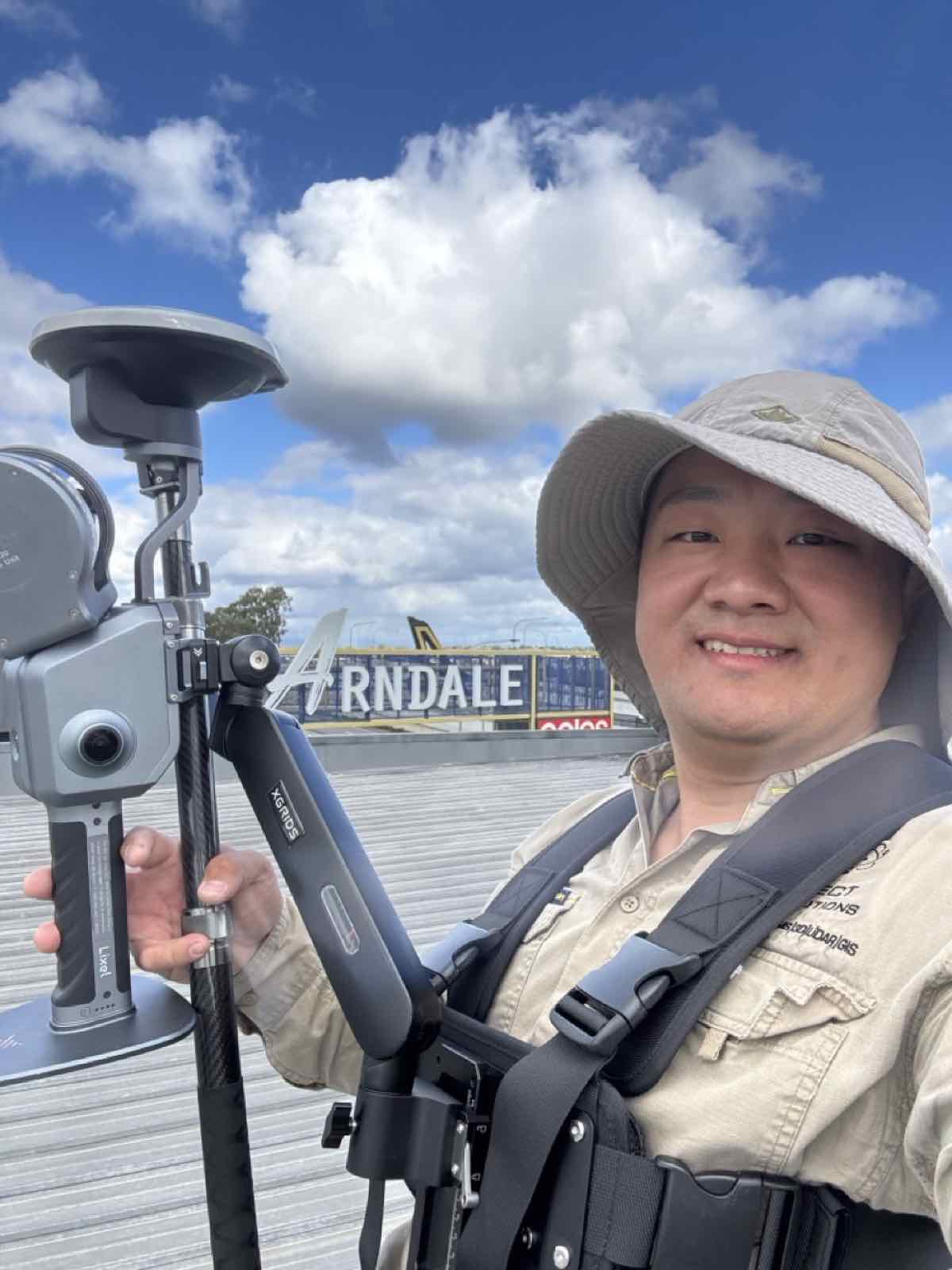
RTK capture on site at a shopping centre
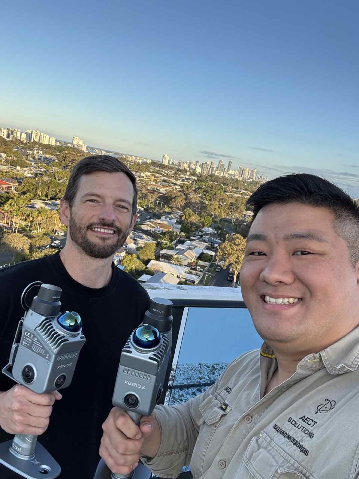
Rooftop capture with a city skyline backdrop
AECT Solutions × XGRIDS product display at a trade show booth
Product display with capture hardware lineup
Channel partner meetup with XGRIDS scanners
Scanning technology showcase
Field capture kit ready for deployment
NVIDIA RTX PRO workstation hardware for 3DGS processing
SCANOLOGY metrology display at the AECT office
AECT training room at the Collider innovation centre
Jacob Lee presenting beside a ground control point marker
Equipment setup session with capture hardware and an RTK pole
AECT team at the AIHS industry event
Presenting Scan-to-BIM and Scan-to-Sim workflows to an industry audience
Brisbane Geospatial Network industry meetup
Presenting on 3D Gaussian Splatting at an industry event
Handheld SLAM capture in a car park
Handheld SLAM capture along a street corridor
AECT team in the field with a handheld scanner
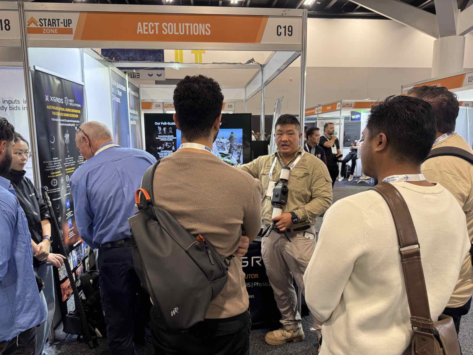
AECT Solutions Start-Up Zone booth at a Sydney trade expo
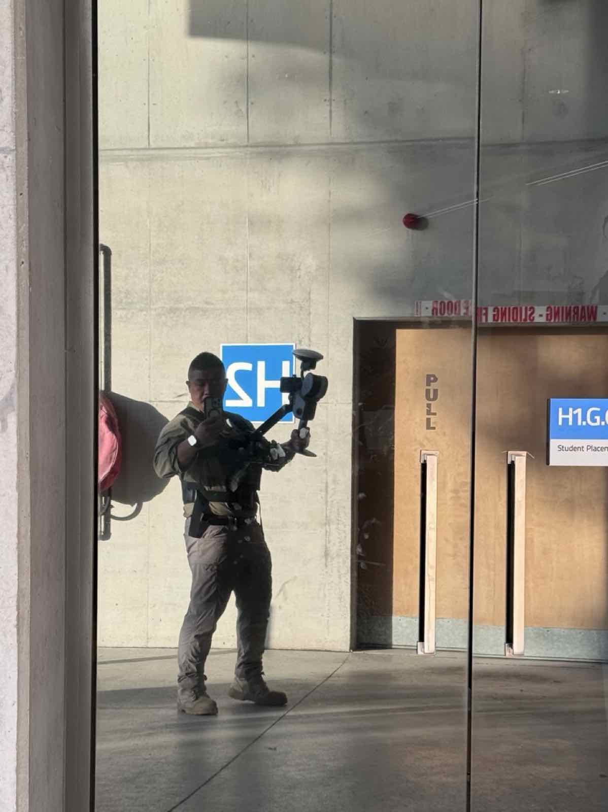
SLAM capture inside a university building
Pole-mounted scanning beneath a heritage timber structure
Harness-mounted scanning inside a heritage timber building
RTK capture on site at a shopping centre
Rooftop capture with a city skyline backdrop
AECT Solutions × XGRIDS product display at a trade show booth
客户信任

服务对象覆盖澳洲州级政府、警务取证、Tier-1 工程咨询、全国性测绘公司、高校与公用事业单位。

采购就绪

经得起采购审查的每一项资质

合规清单上的每一项资质都由我们自持,而非分包——我们已成功对接州政府、警务与高校采购系统。

ISO
ISO 化工作流——由认证 ISO 9001 / 14001 / 45001 主任审核员主导
WHS
WorkSafe WHS Officer #W05151 · 持证入场、PPE 齐备
保险
足额投保——保险凭证可应要求提供
主权
100% 澳洲本土持有 · 本土处理与托管
安全
支持 Air-gap 全离线部署
隐私
交付物自动完成人脸与车牌打码
主体
AECT Group Pty Ltd · ABN 44 659 415 326
实战验证

我们已成功协助执法与政府机构部署这套先进的空地融合、地理配准 3D 工作流——增强其既有 2D 流程,帮助挽救更多生命、更快开放现场,并以 3D 真值呈堂为证。

我们的愿景

构建连接物理与数字世界的「3D 生态系统」

不妥协的 3D 生态系统 —— 为 World Model 就绪
本土处理 · 数据主权
采集到核验闭环
RTK 无人机 + SLAM LiDAR + 摄影测量 + 计量级扫描
全尺度三维重建
审计级证据包
端到端解决方案
自助通道

本周就能上手,两分钟得到报价

在线预订租赁机队

PortalCam、K1、K2 与 L2 Pro——实时可用日历、透明日租价,演示租金 90 天内购买 100% 抵扣。

预订租赁 →aect.solutions/rent
在线估算处理费用

拖动滑块选择场景规模与质量档位——3DGS、点云或同源打包。澳洲本土、AECT 自有硬件处理,数据绝不出境。

获取估价 →services/data-processing
下一步

在你自己的资产上看效果

与创始人预约 45 分钟——带上你的场地、场景与精度要求。我们会展示同类项目的真实数据,并可为你的行业提供可交互的 3DGS 在线模型链接。

更习惯邮件?联系 jacob@aect.solutions

AECT Group Pty Ltd T/A AECT Solutions | ABN 44 659 415 326 | Collider, UniSC Innovation Centre, 90 Sippy Downs Drive, Sippy Downs QLD 4556 | aect.solutions