Spatial Intelligence, Architected
Submillimetre to city scale — we hold the full sensing spectrum in one fleet, and architect the right mix per job. One capture program, one geo-referenced dataset, every deliverable.
Every Sensor. One Model.
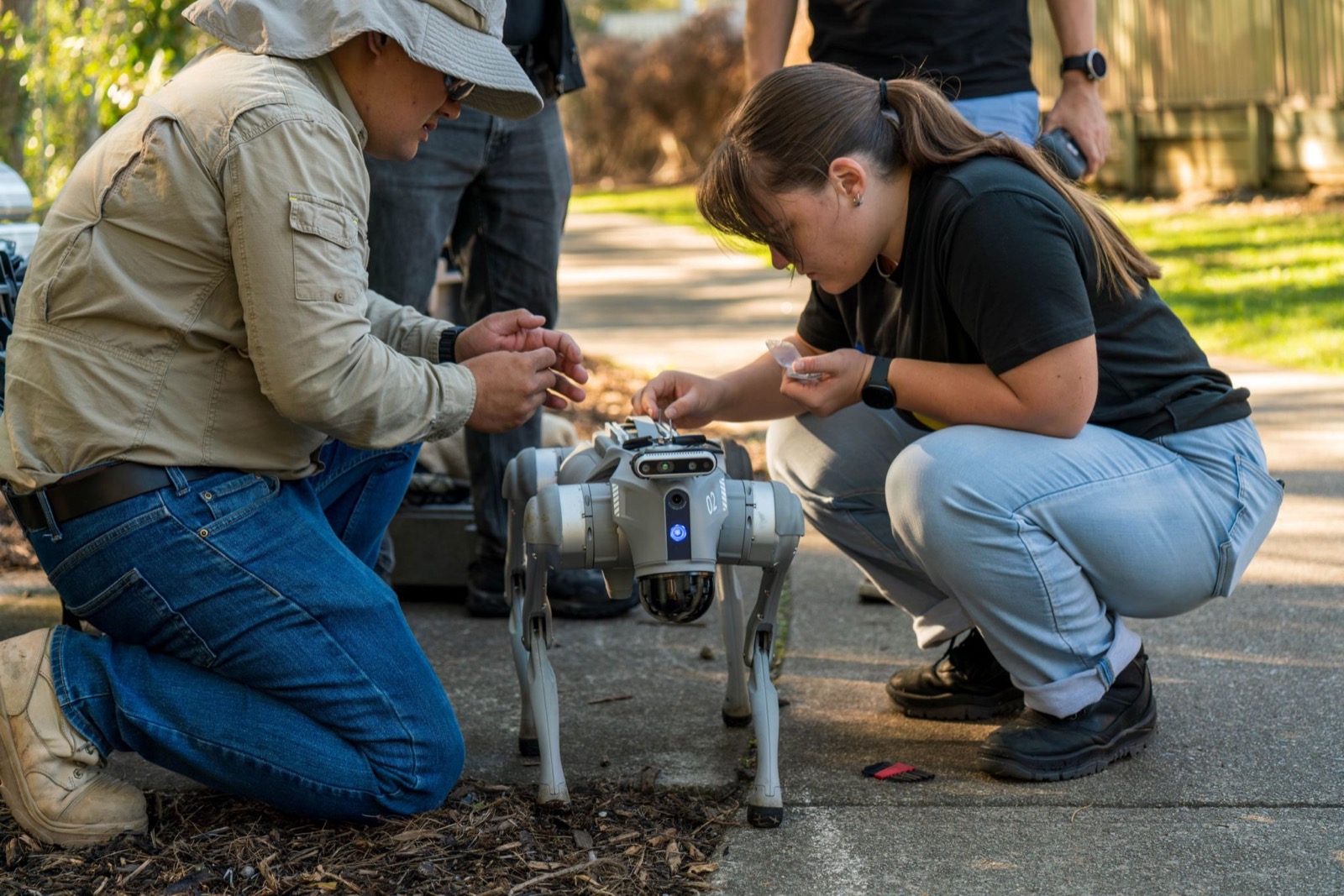
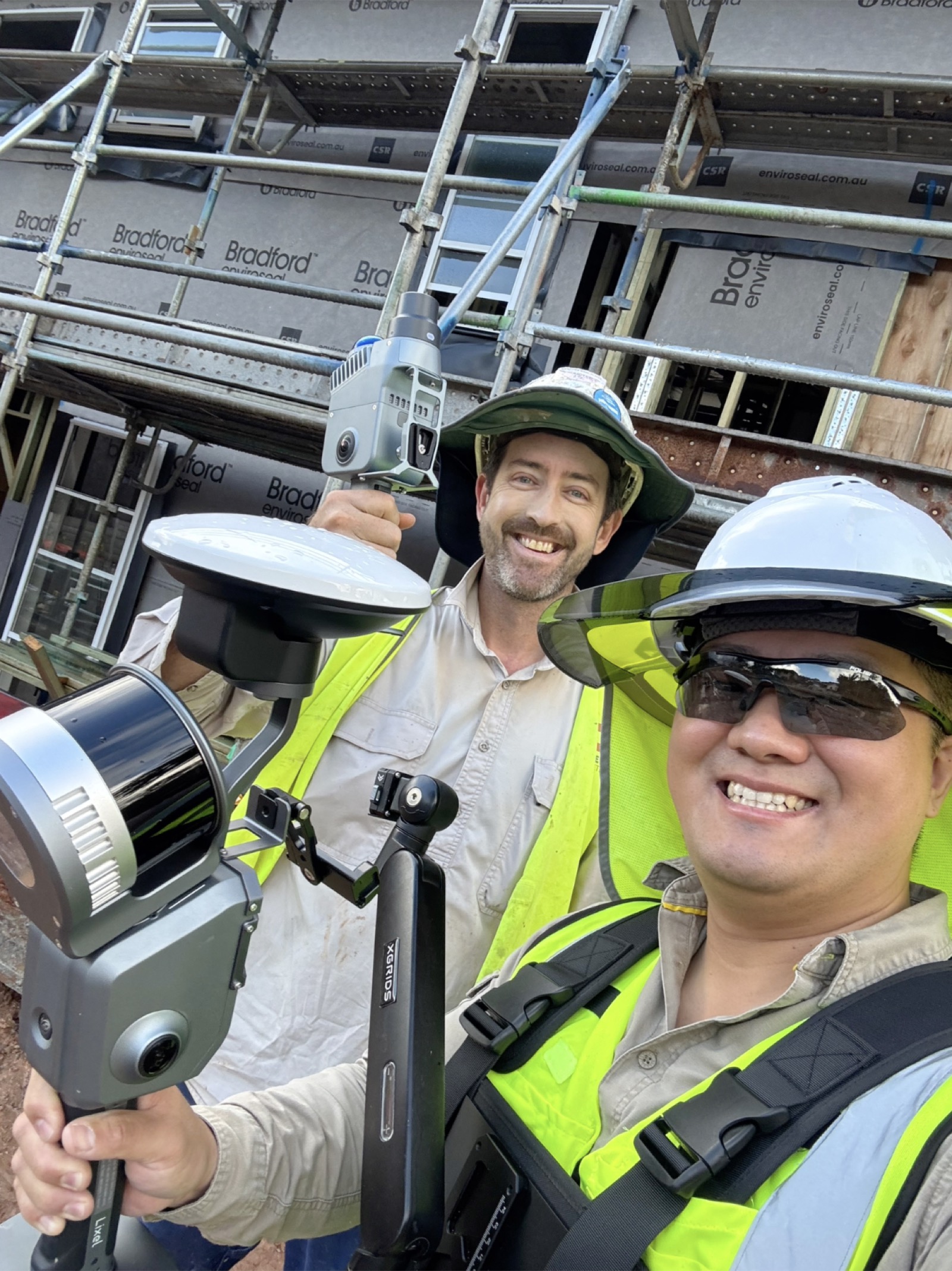
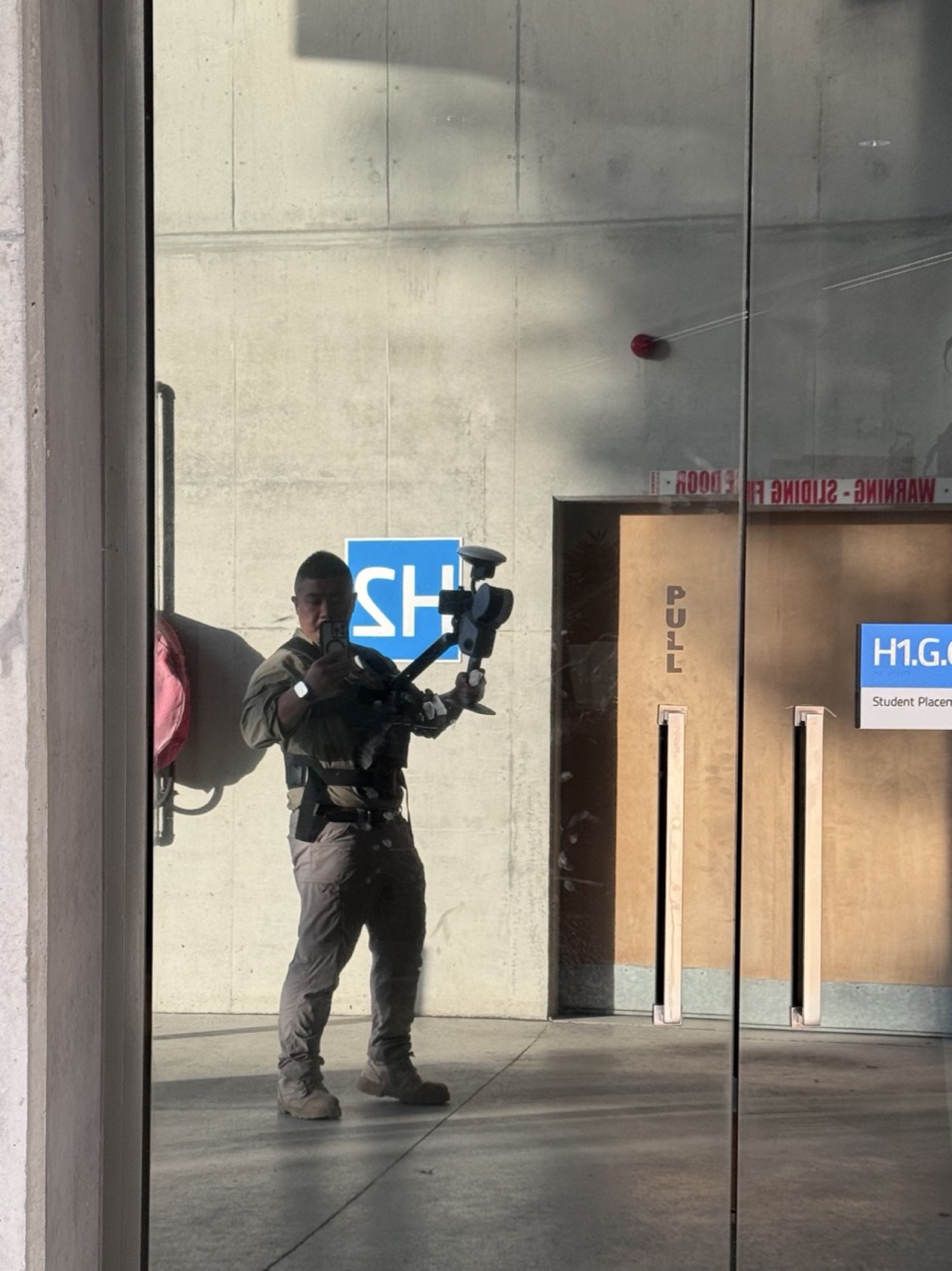
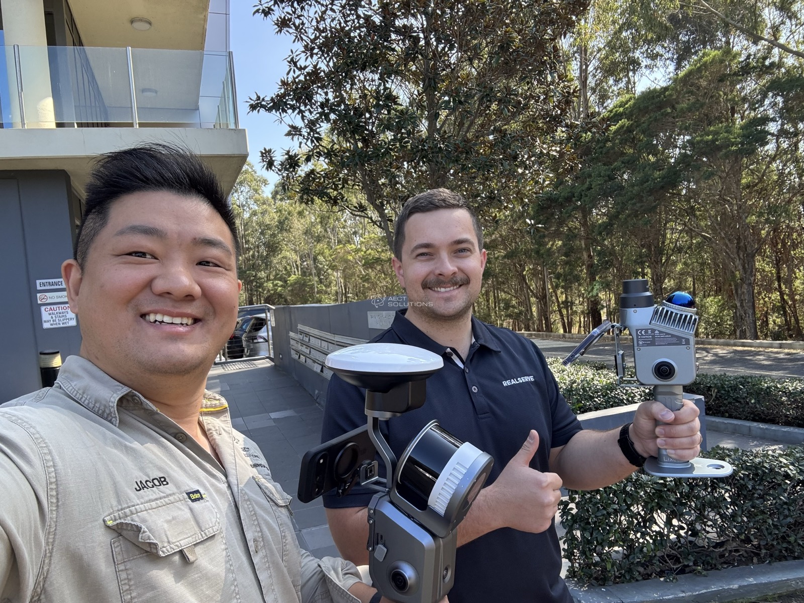
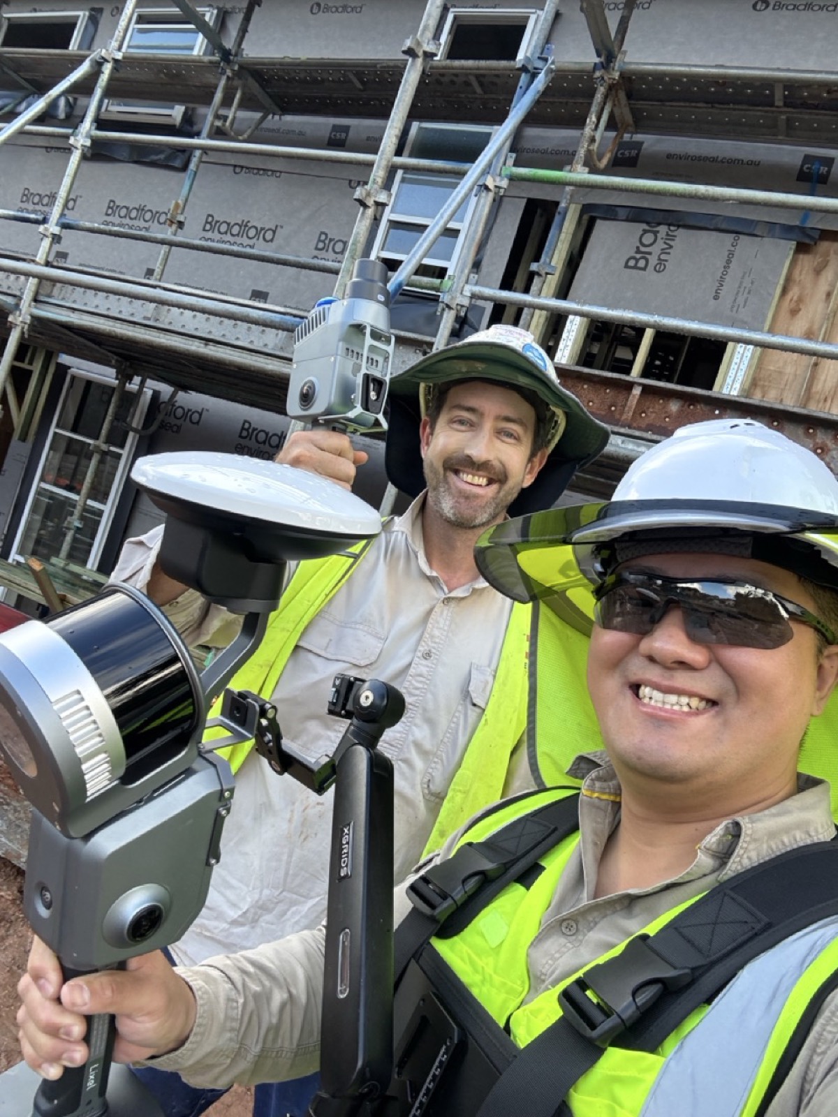
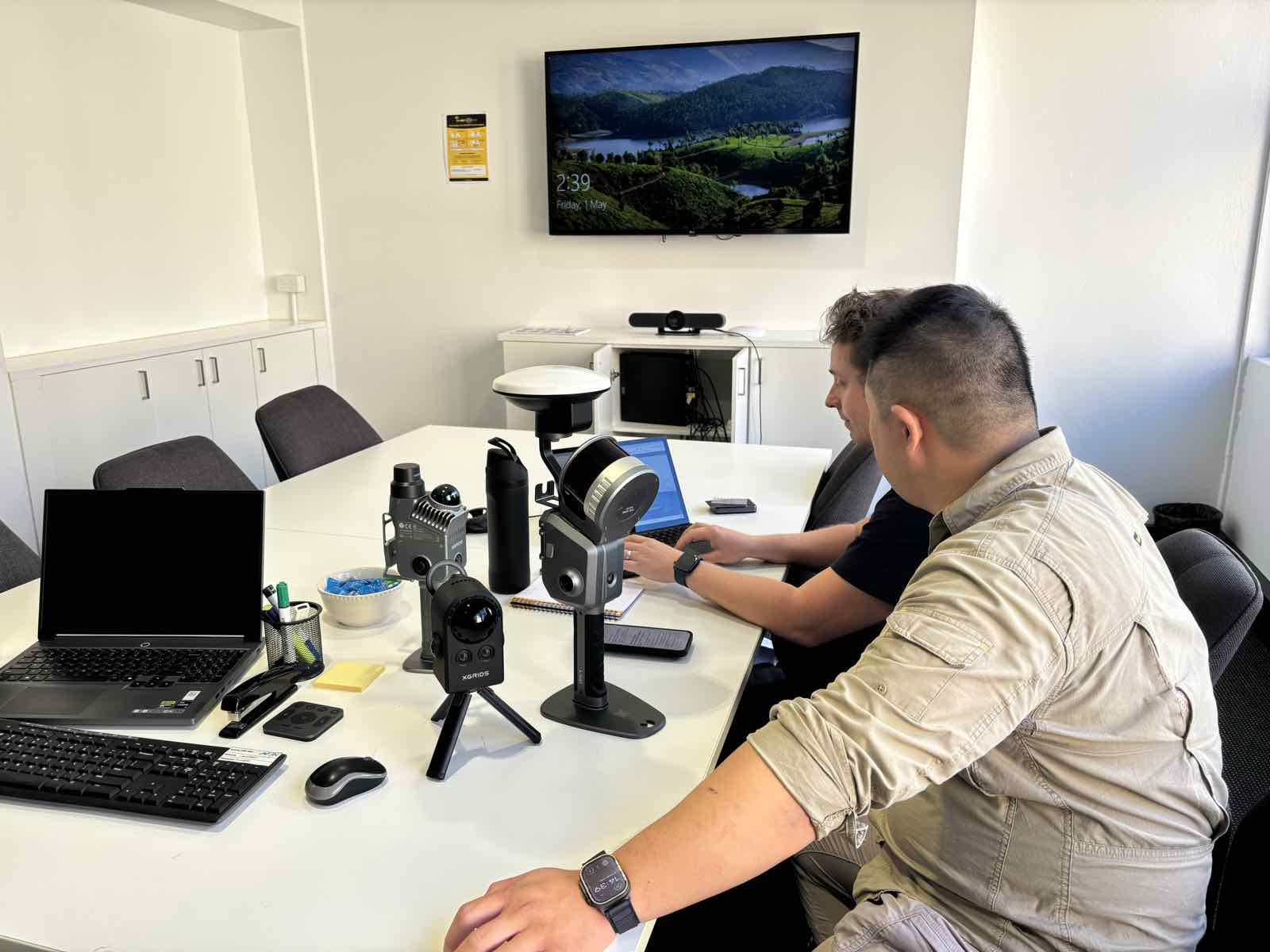
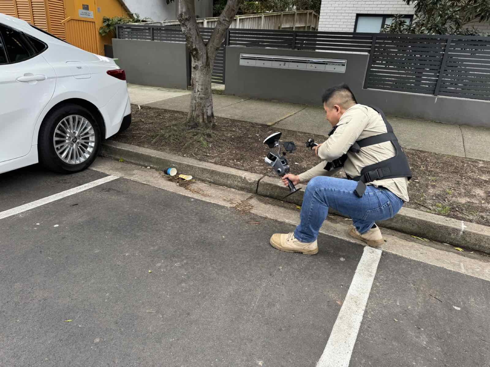
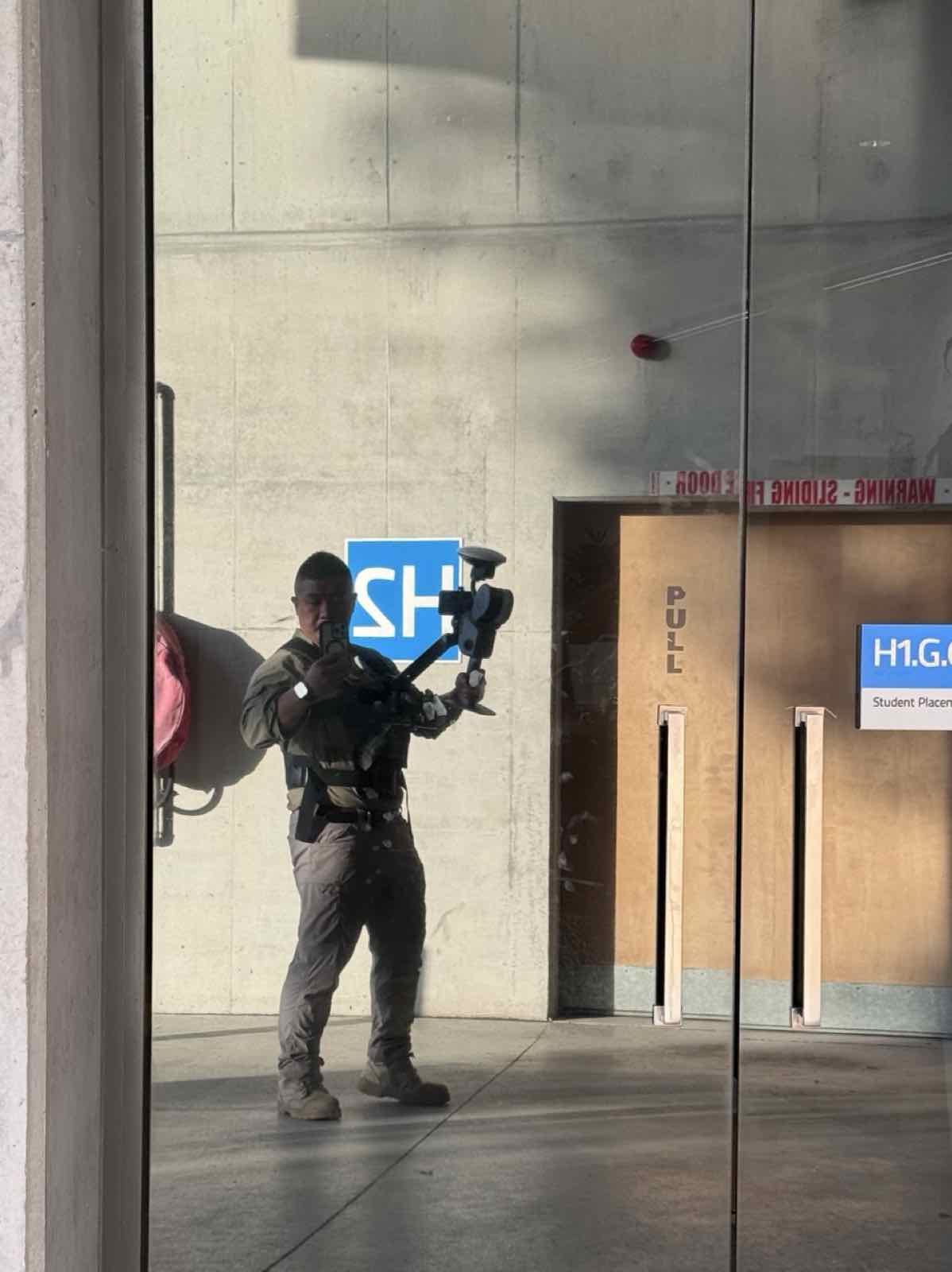
DSLR high-fidelity capture, survey-grade RTK drones (Matrice 400/350, M4E), handheld SLAM LiDAR and metrology-grade scanning — fused from aerial to ground into a single geo-referenced 3DGS + point cloud dataset. Handheld, vehicle, drone, harness and autonomous platforms.


Capture → Process → Integrate


One Partner. Six Ways to Engage.
AECT is a spatial-intelligence solution architect, not a reseller. Buy the hardware, hire the fleet, send us the data, or hand us the whole capture — every engagement model runs on the same sovereign, end-to-end delivery system.
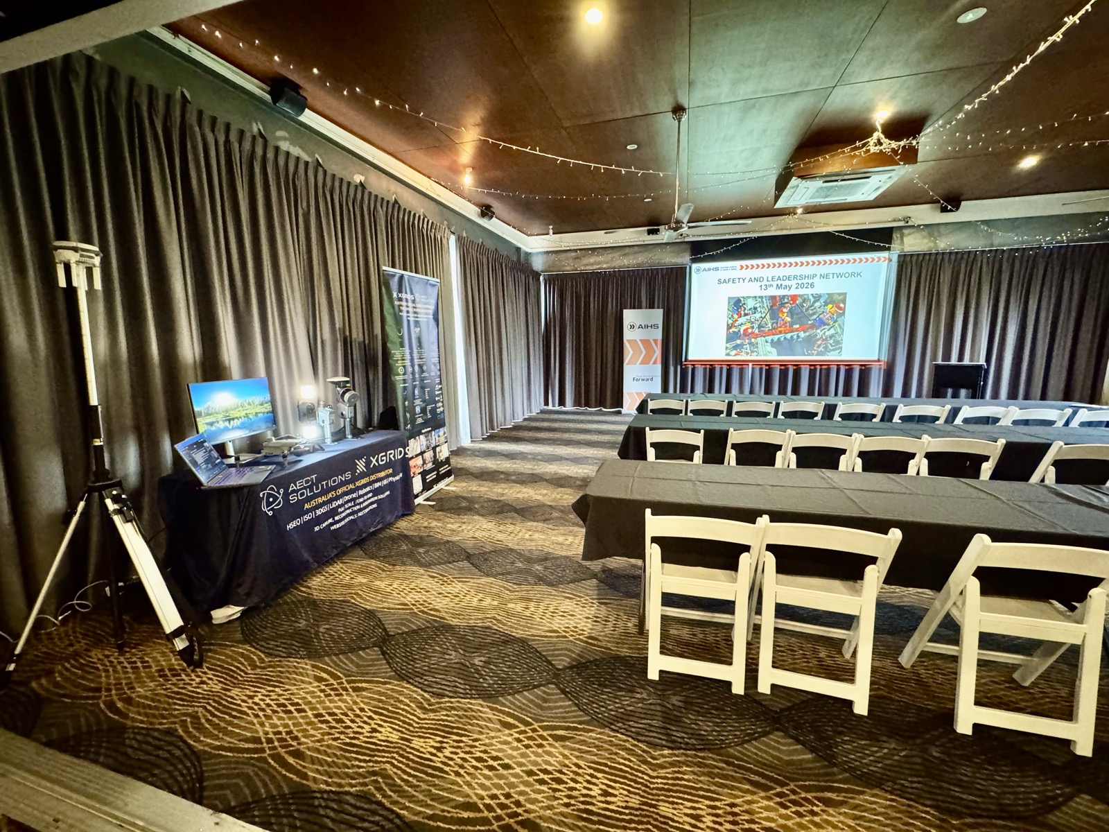
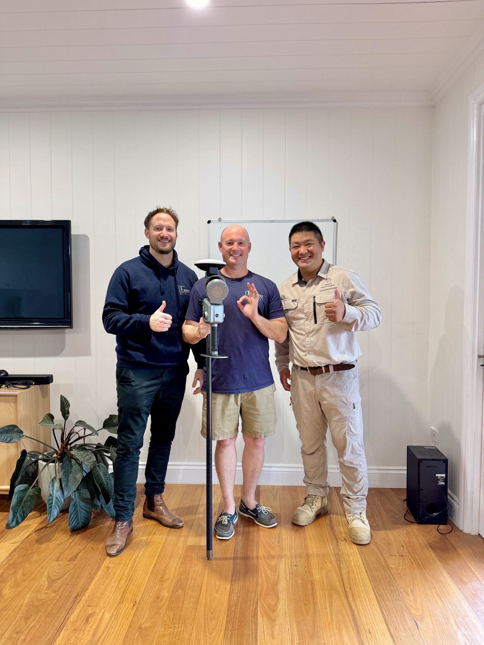
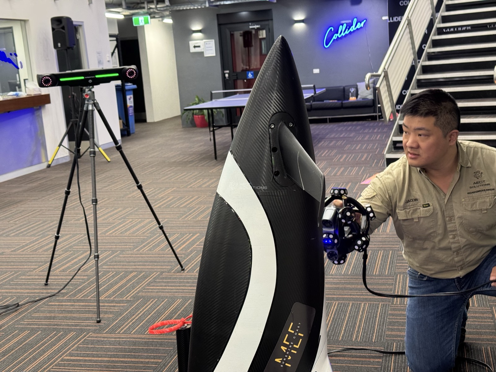
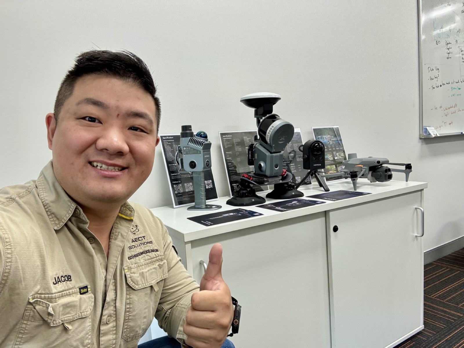
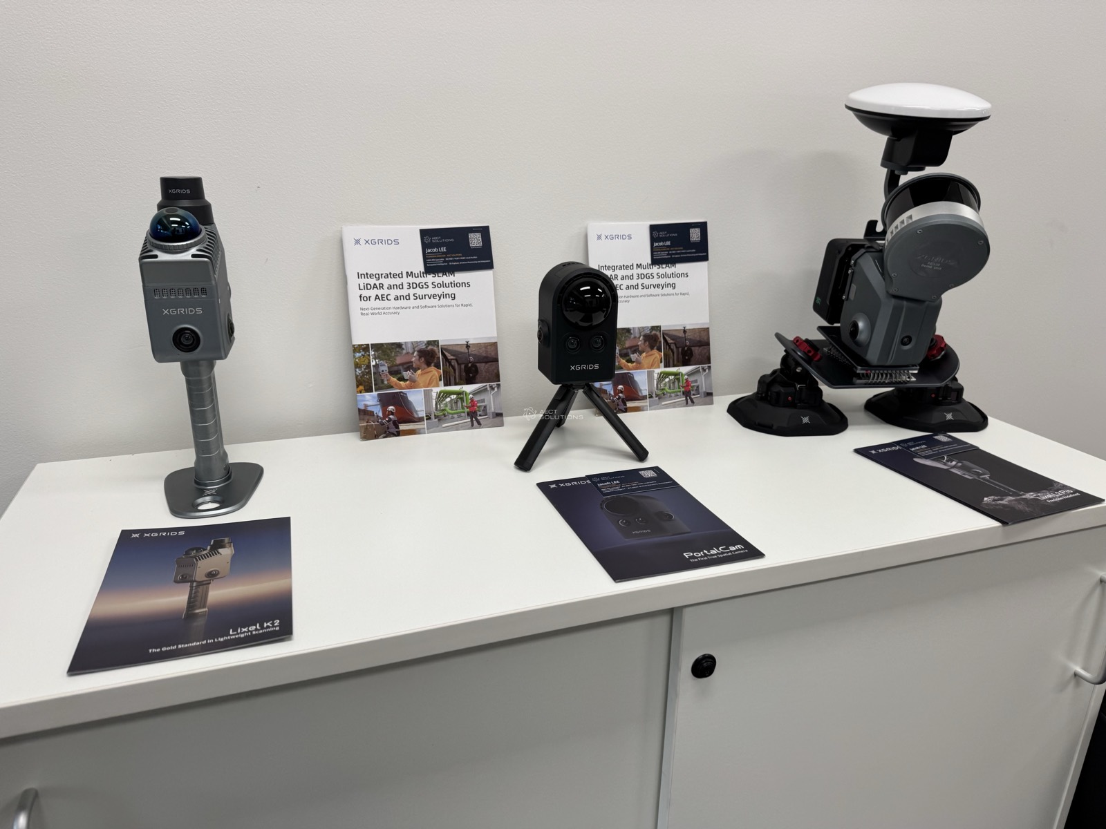
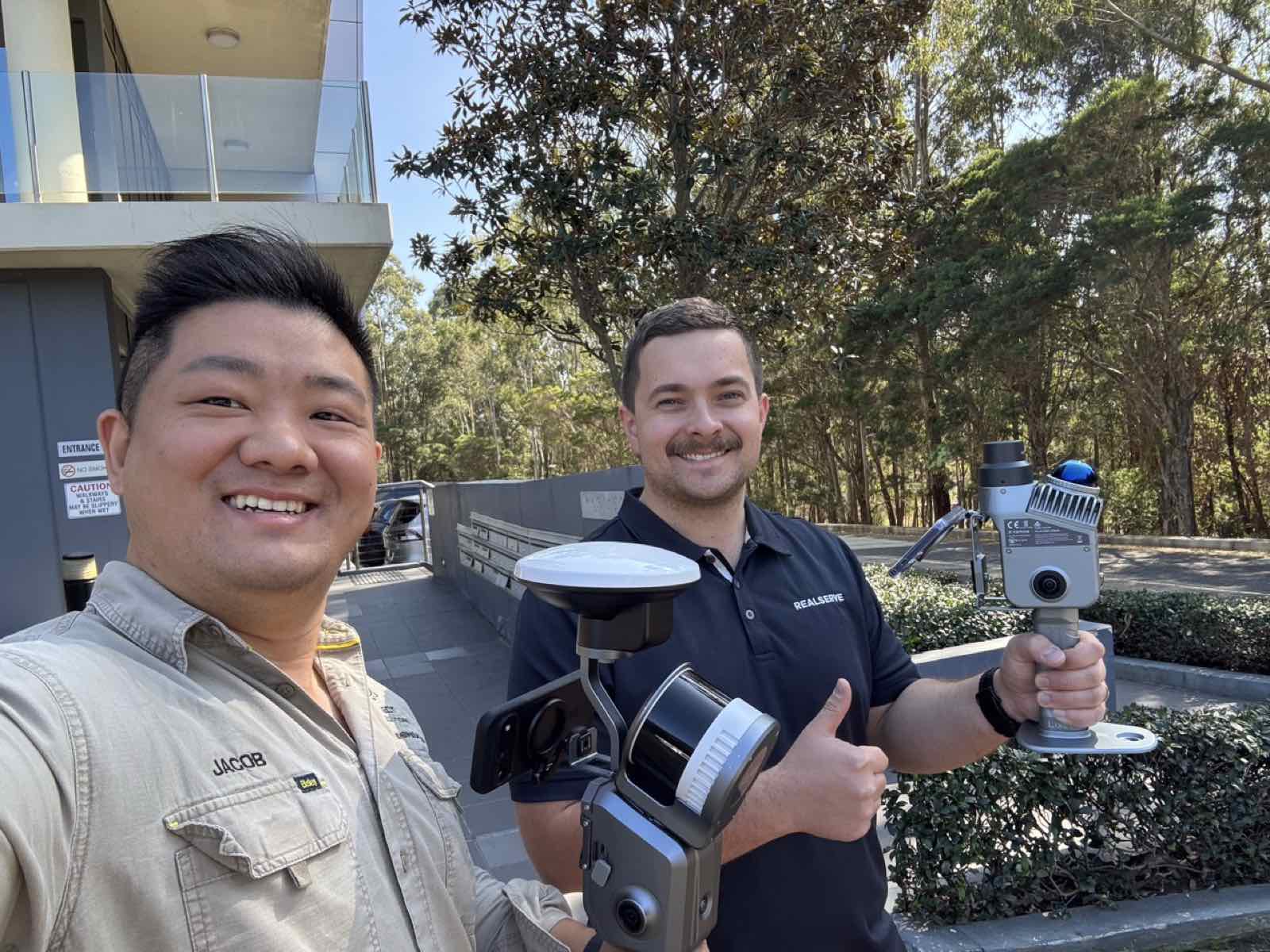
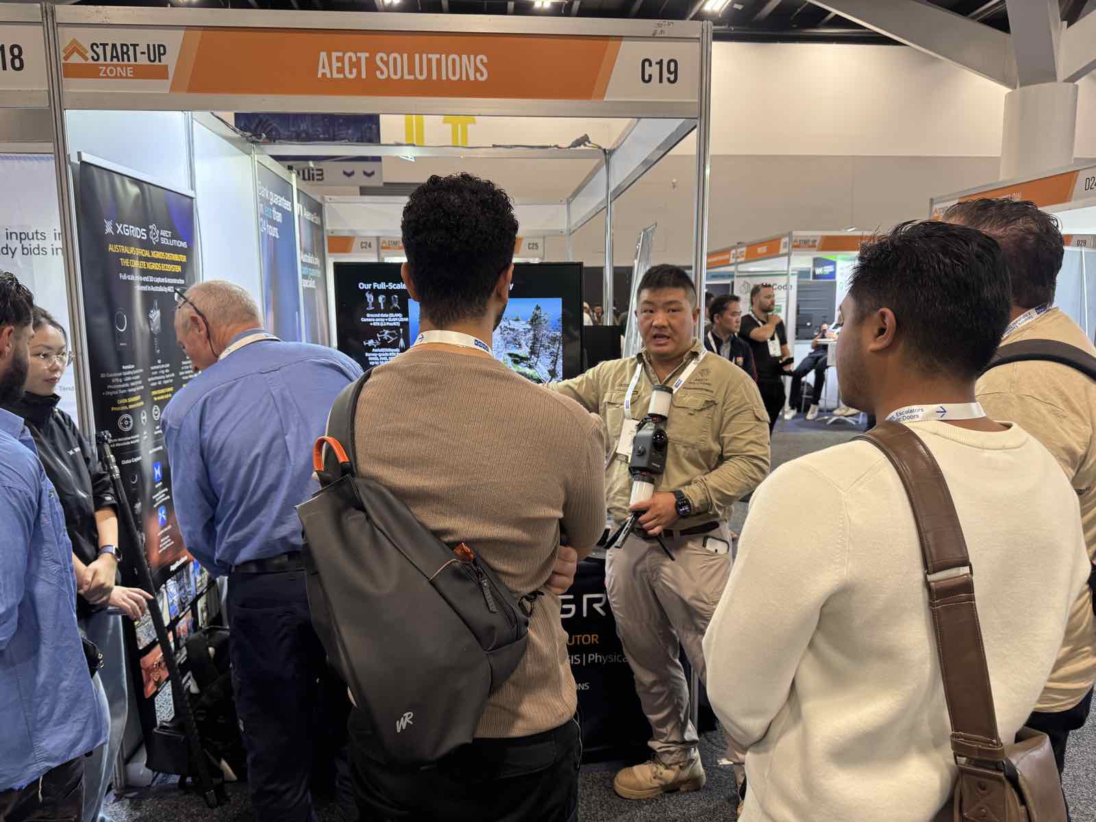
The full multi-vendor capture stack — XGRIDS SLAM LiDAR + 3DGS, SCANOLOGY metrology-grade scanning, terrestrial LiDAR, vehicle-mounted MLS, enterprise drones and AI workstations. Price-match guaranteed, Australia-wide.
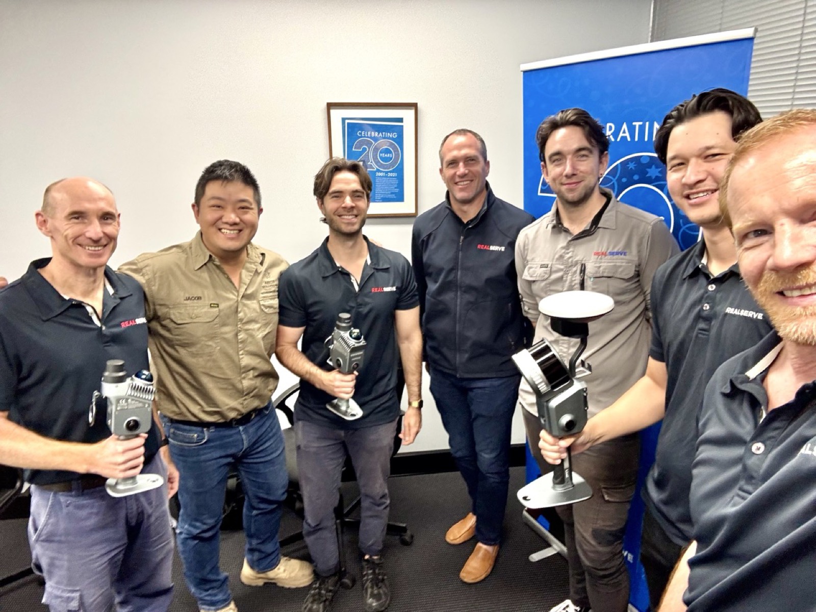
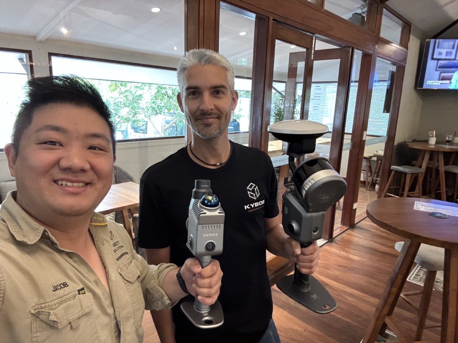
Australia's largest XGRIDS hire and demo fleet — every unit, accessory and licence stocked onshore. Book online against a live calendar; demo fees credit 100% toward purchase.
Send us your capture — we return 3DGS models, classified point clouds and meshes. Australian post-processing, nothing leaves offshore. Instant online estimate, from 8M to 50M splats.
Our operators, our fleet, your deliverables. Send a KML and your required outputs — we architect the sensor mix, run the fieldwork and hand over audit-ready data. Built for corridors, campuses and complex assets.
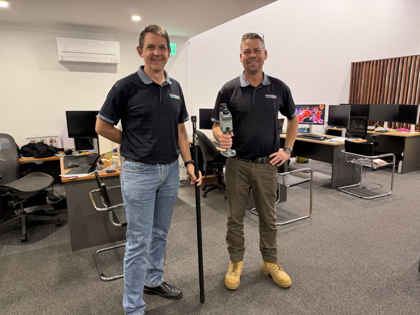
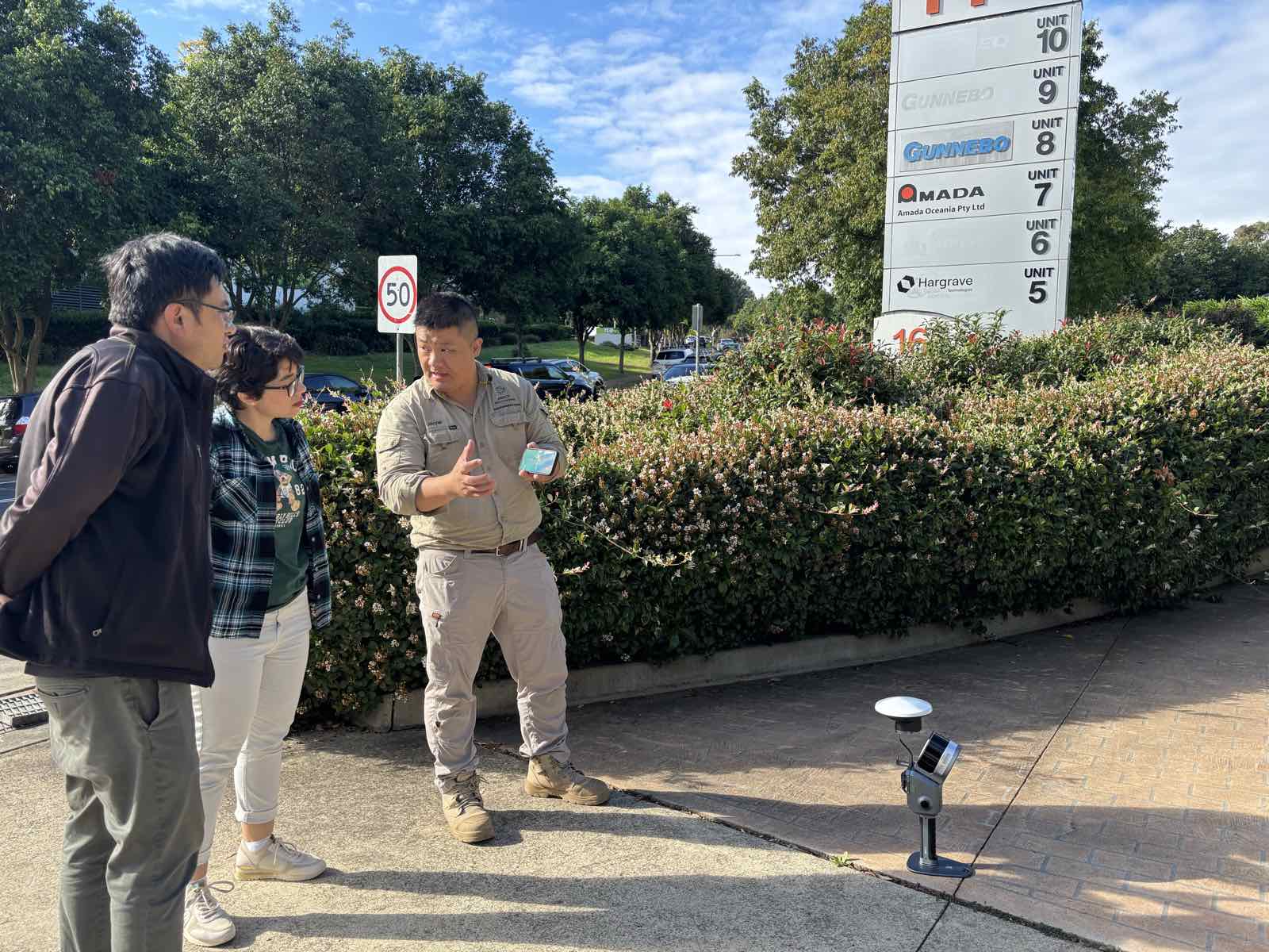
Tiered on-site training: remote onboarding included with every purchase, professional full-day sessions run on your own site and your own job, up to the 3DGS Masterclass program — 1,000+ scans of field experience, taught hands-on.
Integrated ISO 9001 / 14001 / 45001 management systems, built and audited by a certified Lead Auditor — the same discipline that underwrites every dataset we deliver.
Delivered on Real Australian Assets


Where We Deliver
As-built verification, post-pour scans, ITP evidence
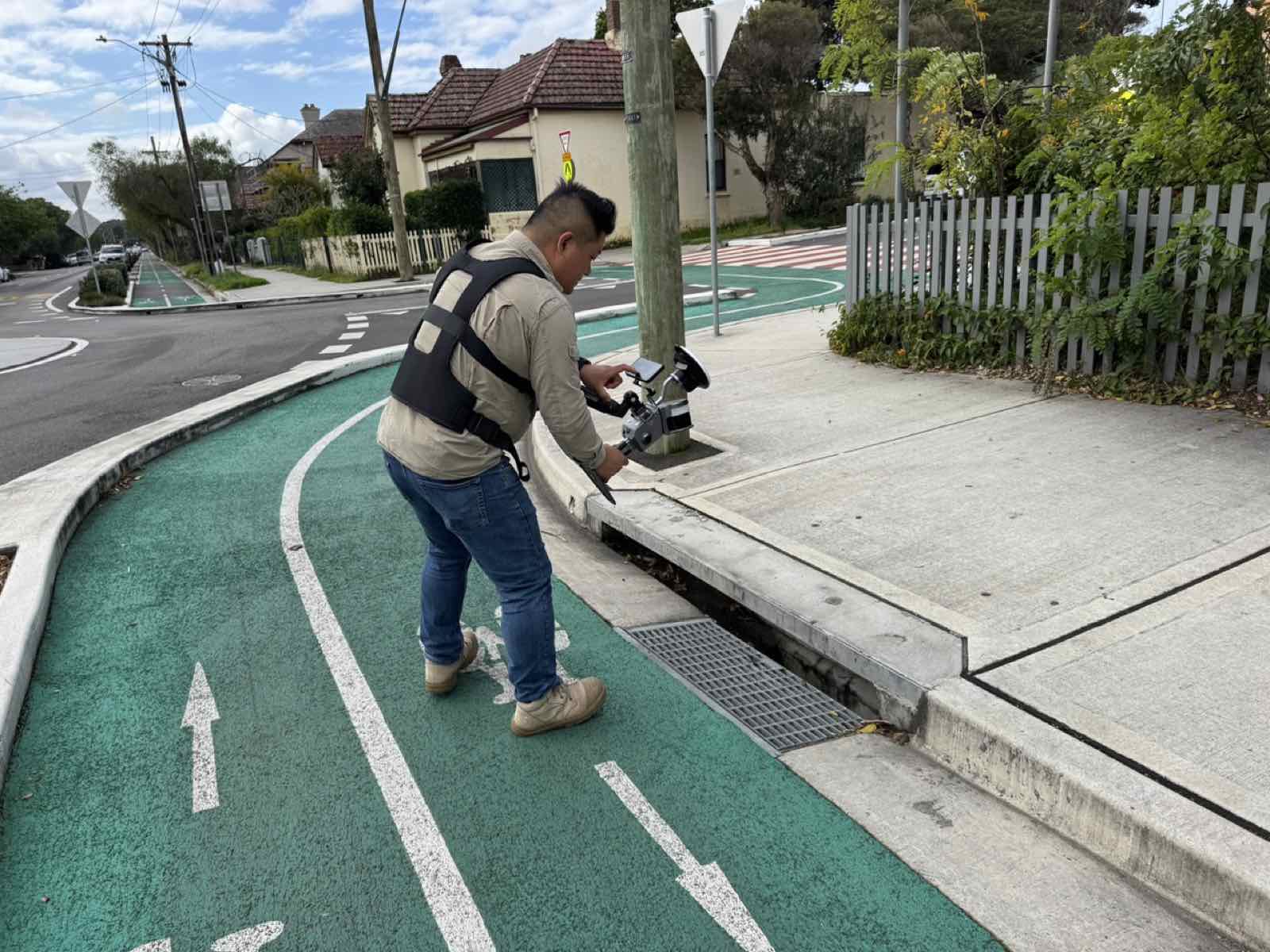
Corridors, bridges, raised crossings, live-traffic capture
Topographic mapping, volumes, section & profile monitoring
Tree-fall analysis, danger-point detection, inspection
Plant and asset reconstruction, inspection-ready datasets
Fused drone + handheld capture for complex assets
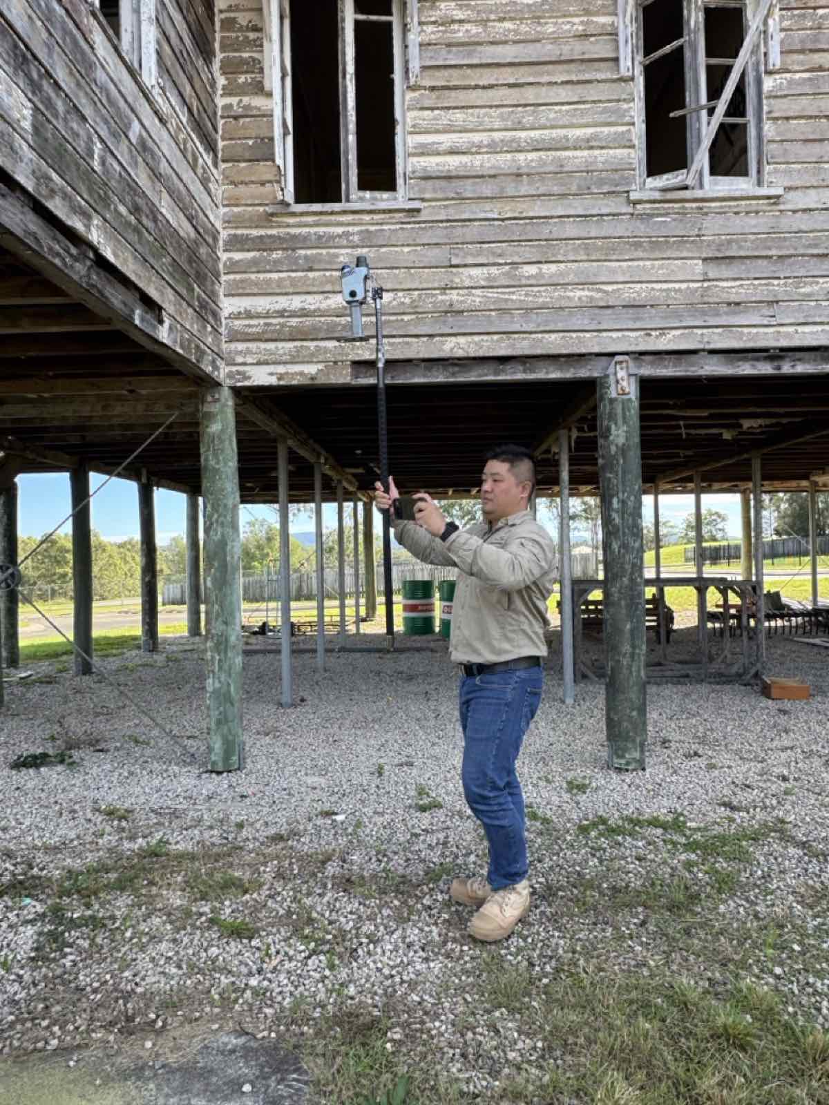
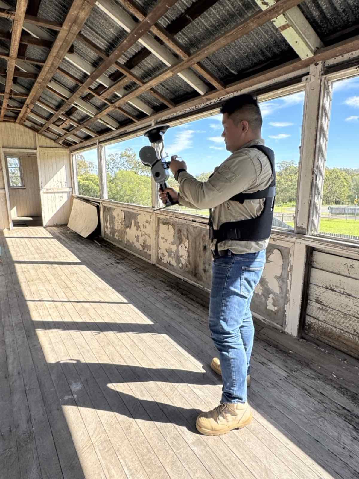
Photorealistic digitalisation of heritage places
Time-stamped, court-ready scene reconstruction
Photorealistic walkthroughs, premium listings, dilapidation records
Location scouting, stage twinning, 3DGS scenes into Unreal Engine
Pre-works records, structural relocation planning, volumetric QA
Campus capture programs, physical-AI datasets, curriculum technology
Infrastructure corridors, rail crossings, live traffic, planning & design, full digital-twin lifecycle monitoring
Not Just Products — an Uncompromised 3D Ecosystem
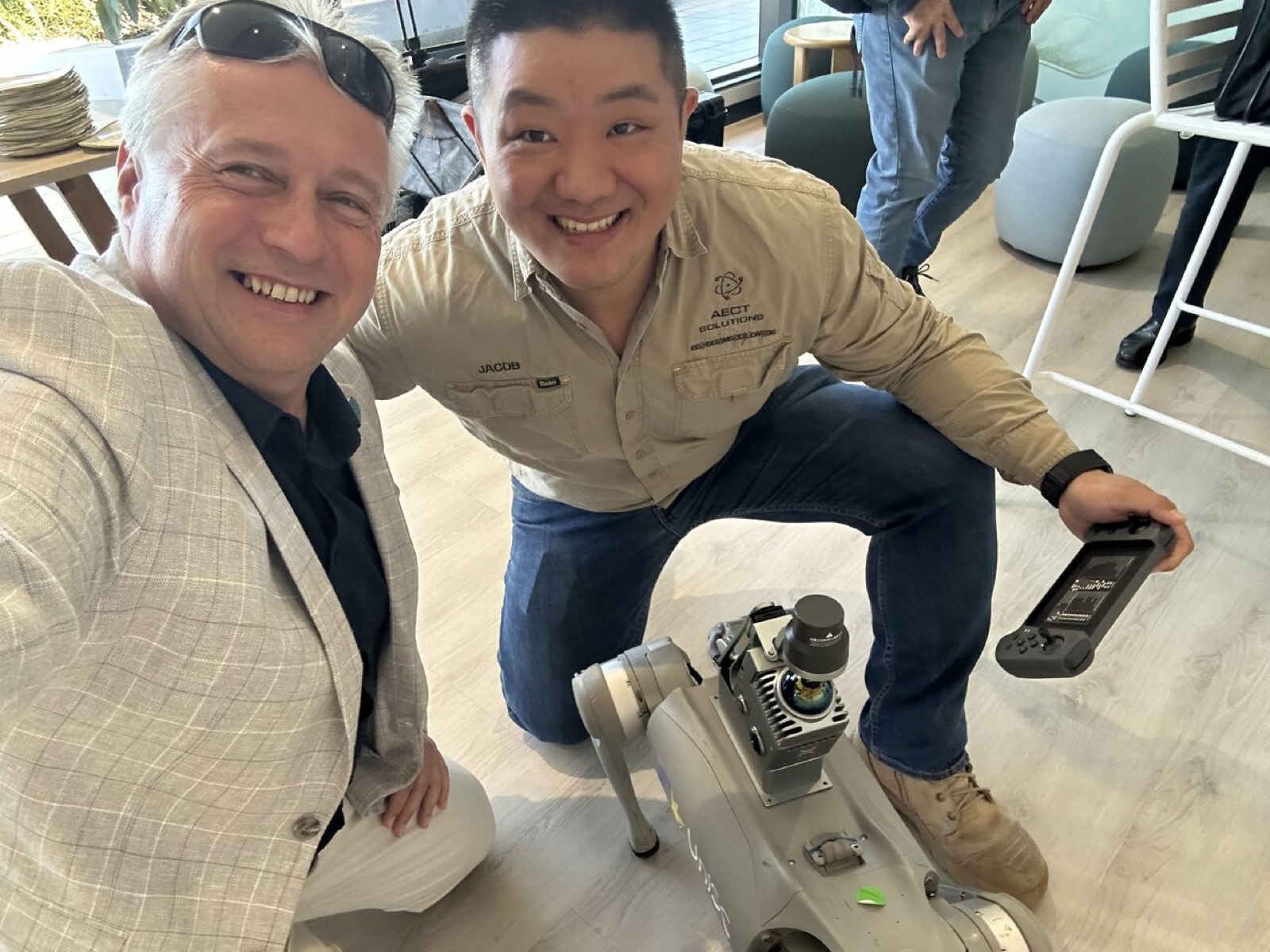
Metrology · SLAM LiDAR + 3DGS · enterprise drones & payloads · autonomous drones to 100kg payload · robotics · high-performance workstations · off-grid power. Audit-ready evidence packs, capture-to-verification loops, on-shore processing — ready for the world-model era.

Fly It Yourself
This is not a video — it is the actual Mooloolaba seawall capture (20 May), streamed live in LCC2 format from AECT-hosted storage. Drag to orbit, right-drag to pan, scroll to zoom.
Reality Capture Management — Every Milestone, Digitally Controlled
One digital thread from concept to handover. We have delivered this full loop on live Queensland infrastructure — the Mooloolaba seawall series above is one asset captured repeatedly across its construction program.


Where the Next Generation Learns 3D
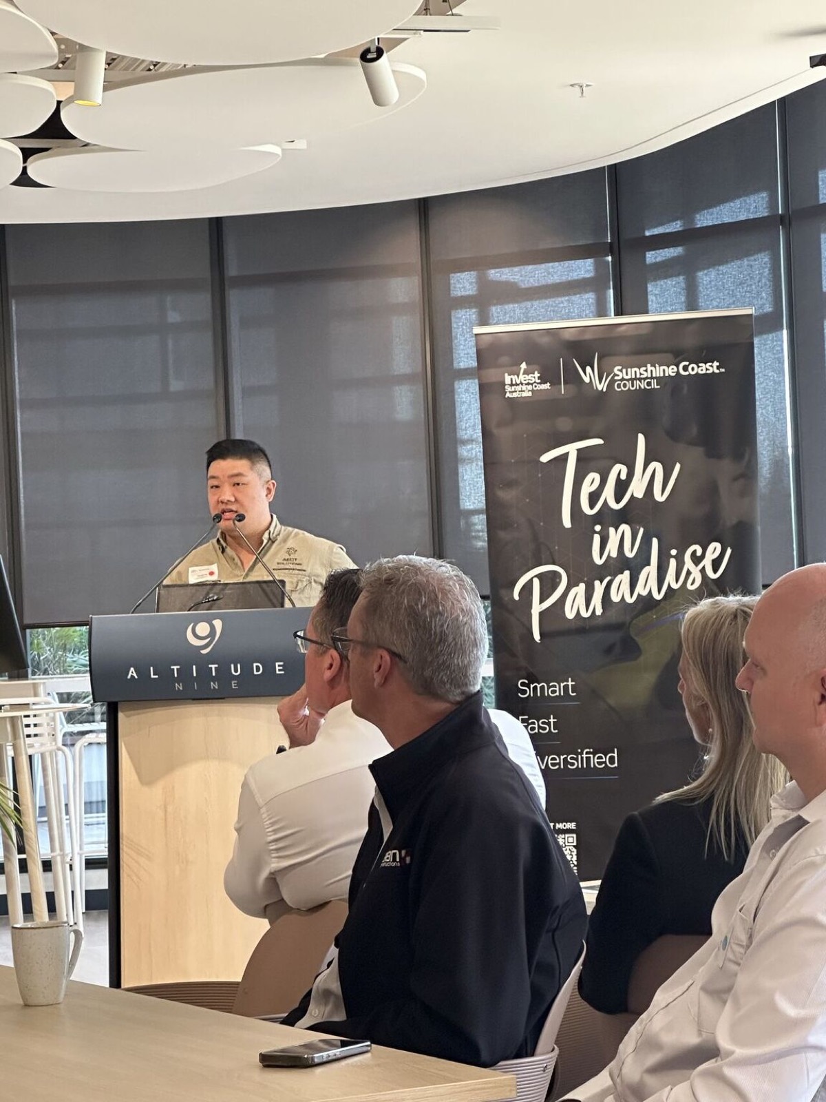
We are headquartered inside a university innovation centre, and academic partnership is a strategic pillar — from physical-AI research collaboration to campus-scale capture programs and curriculum-linked technology.
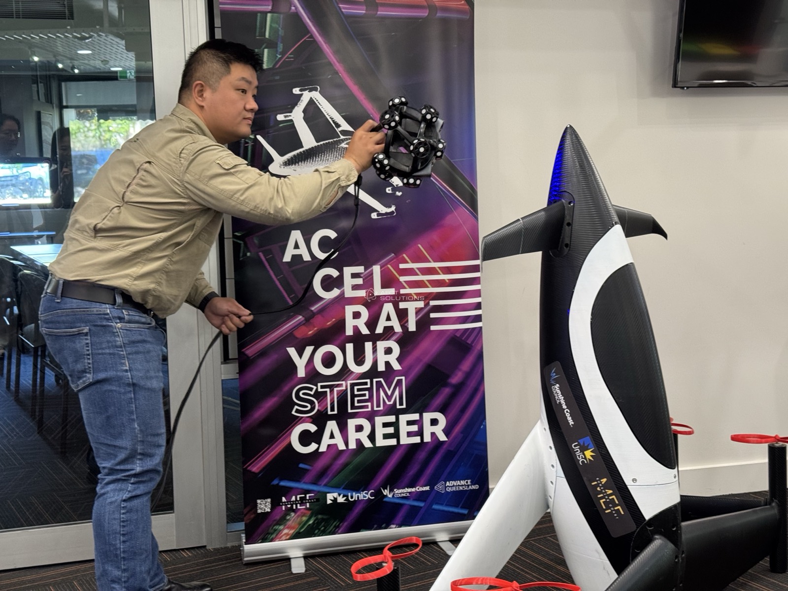
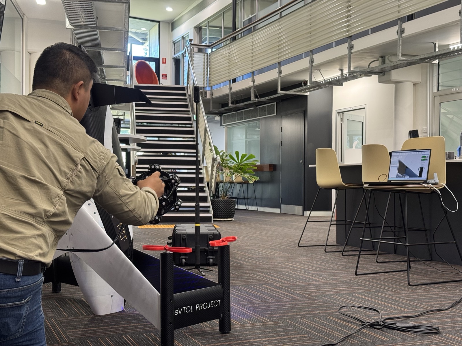
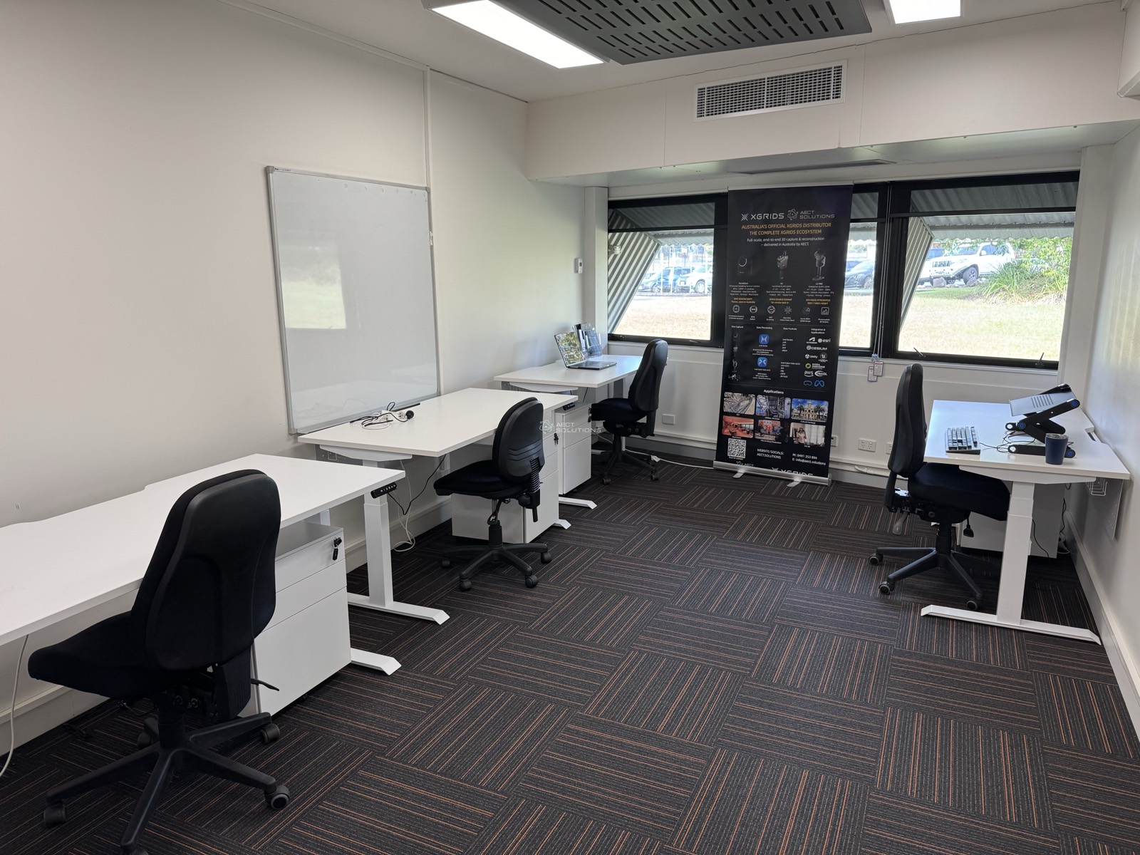
Physical-AI collaboration — and home base: AECT operates from UniSC's Collider Innovation Centre.
SLAM LiDAR + 3DGS capture for rapid 3D reconstruction of complex laboratory environments.
Studio and stage twinning for virtual production — 3DGS scenes flowing straight into Unreal Engine pipelines.
PortalCam 3DGS capture feeding immersive VR — real environments reconstructed and explored in virtual reality.
Selected for CSIRO's structured R&D program — a validated technology roadmap with Australia's national science agency.
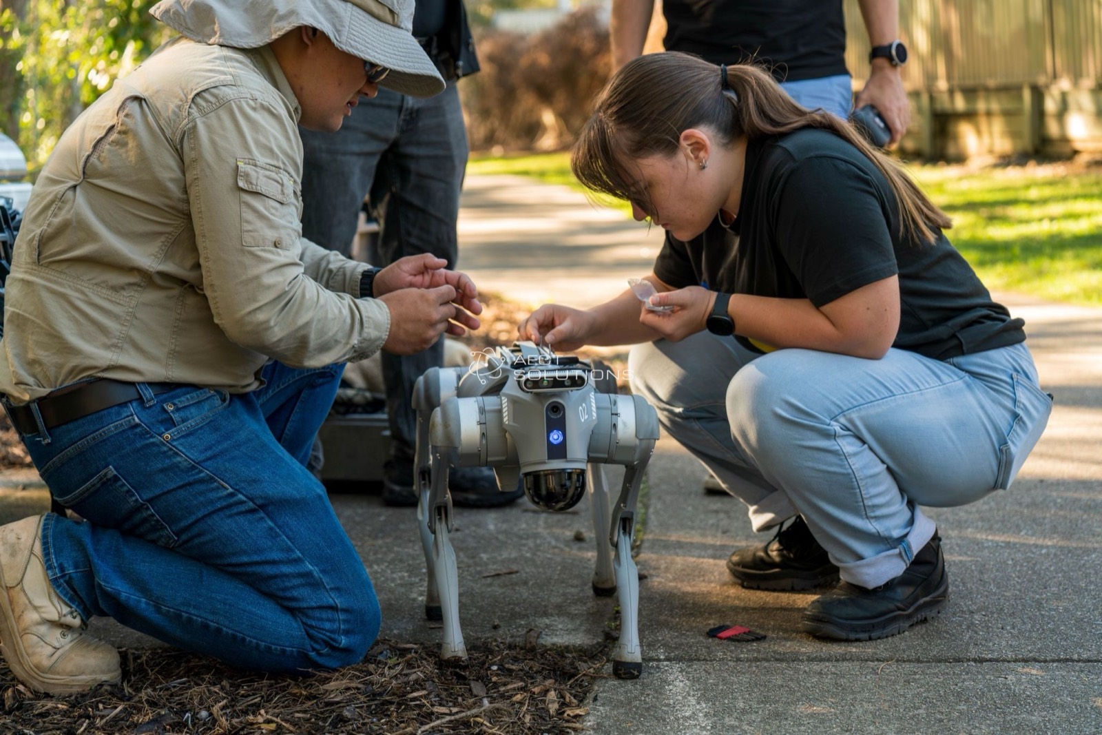
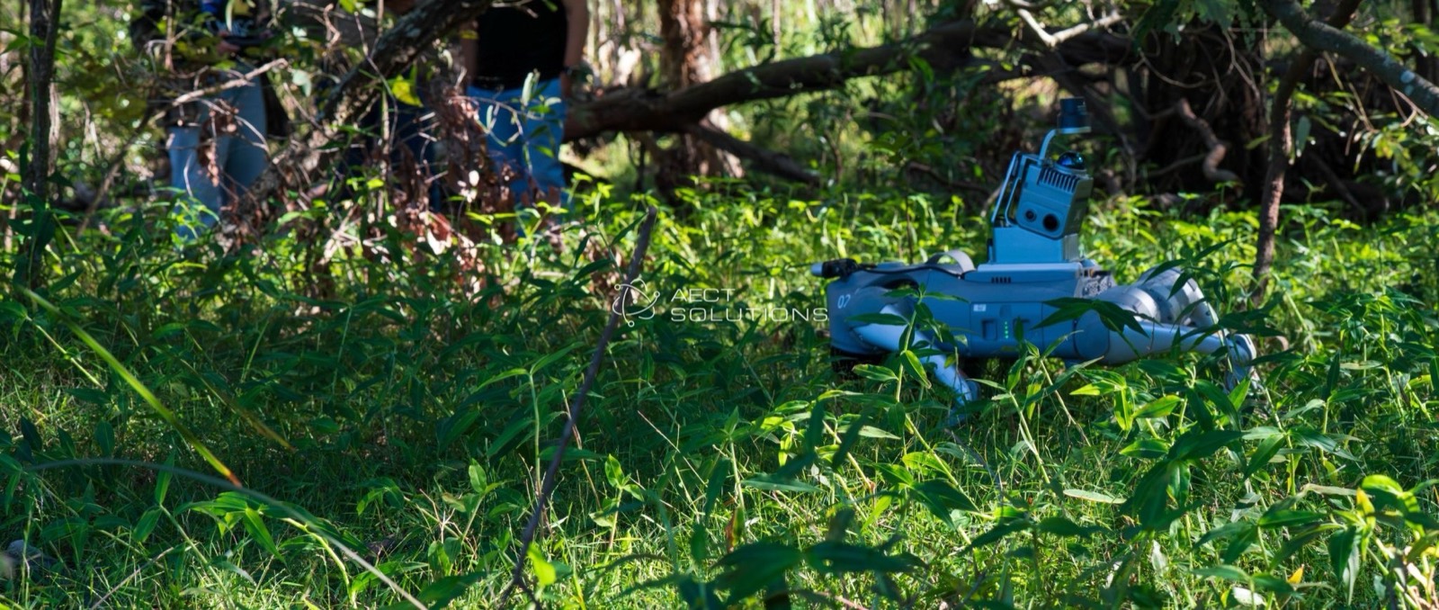
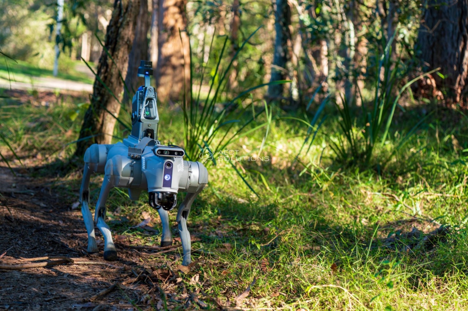
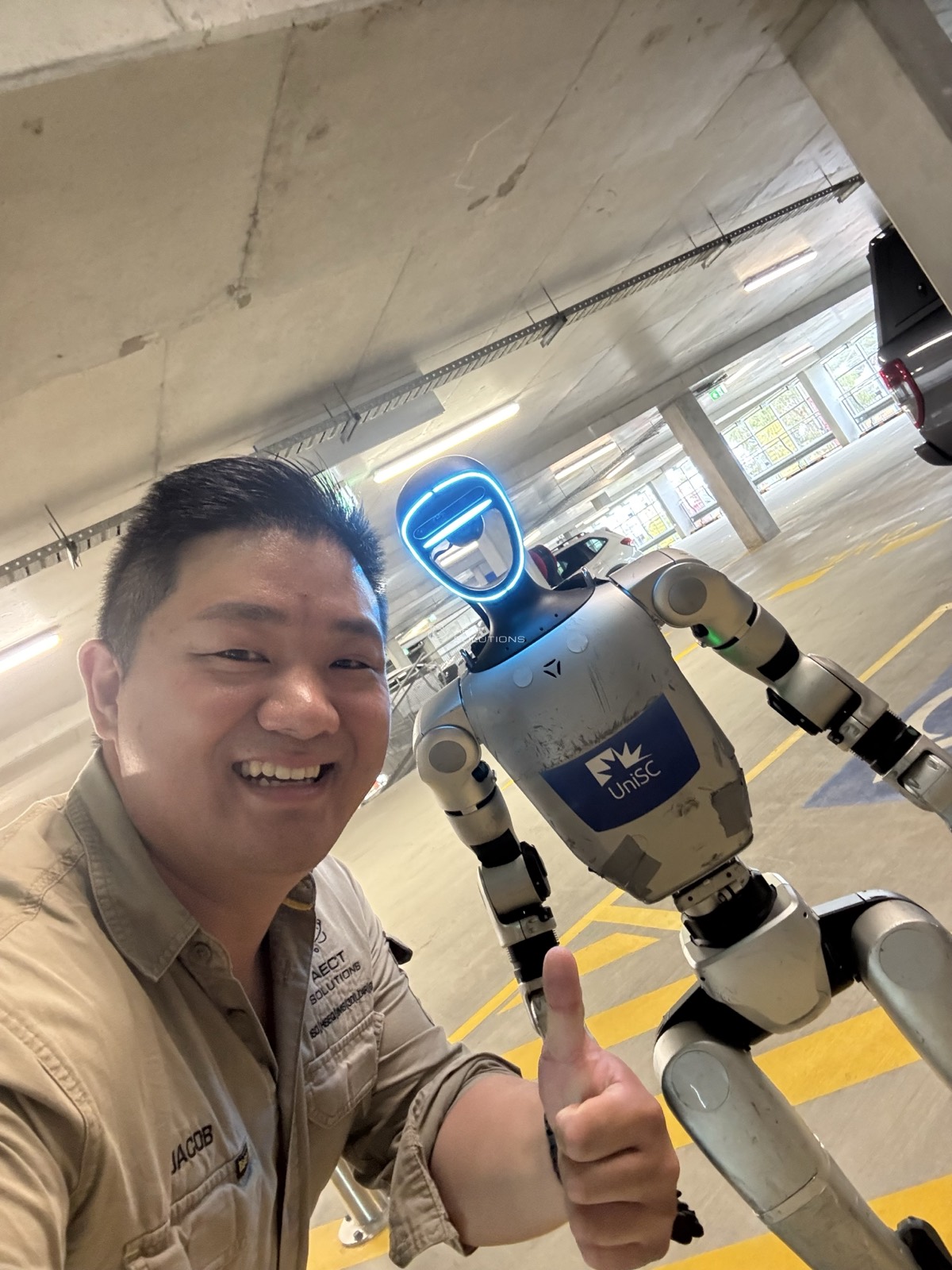
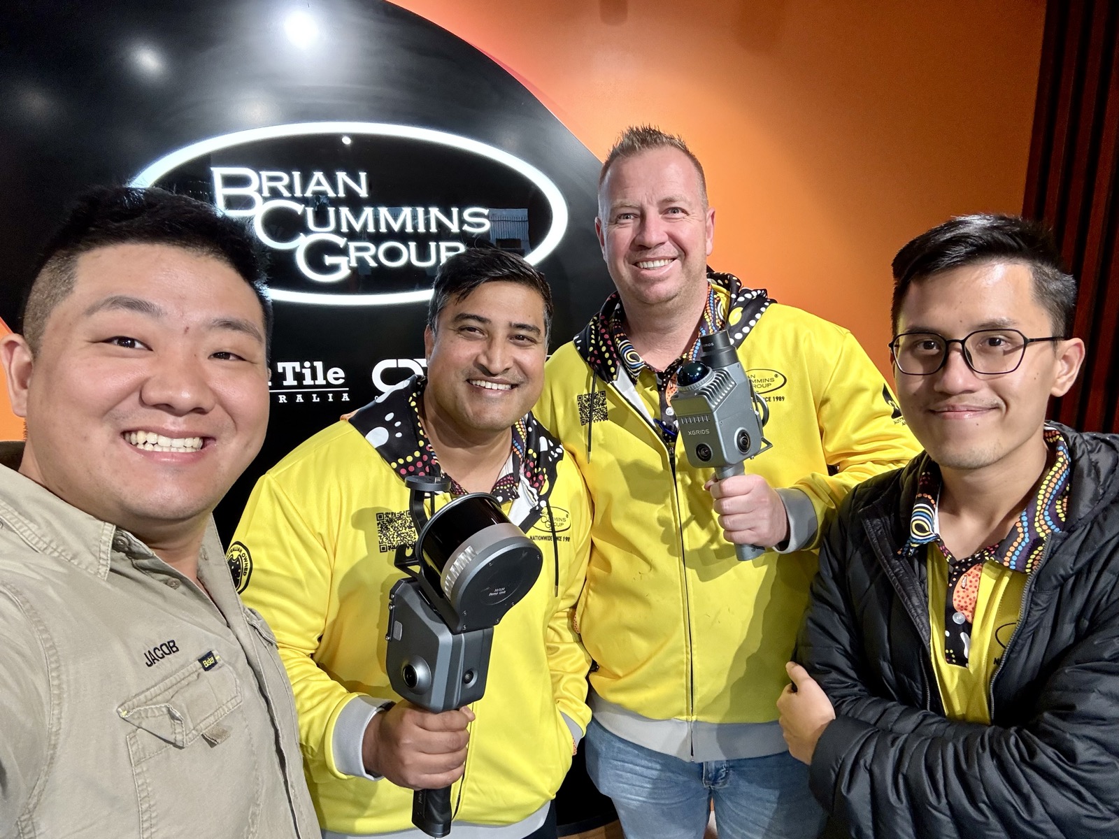
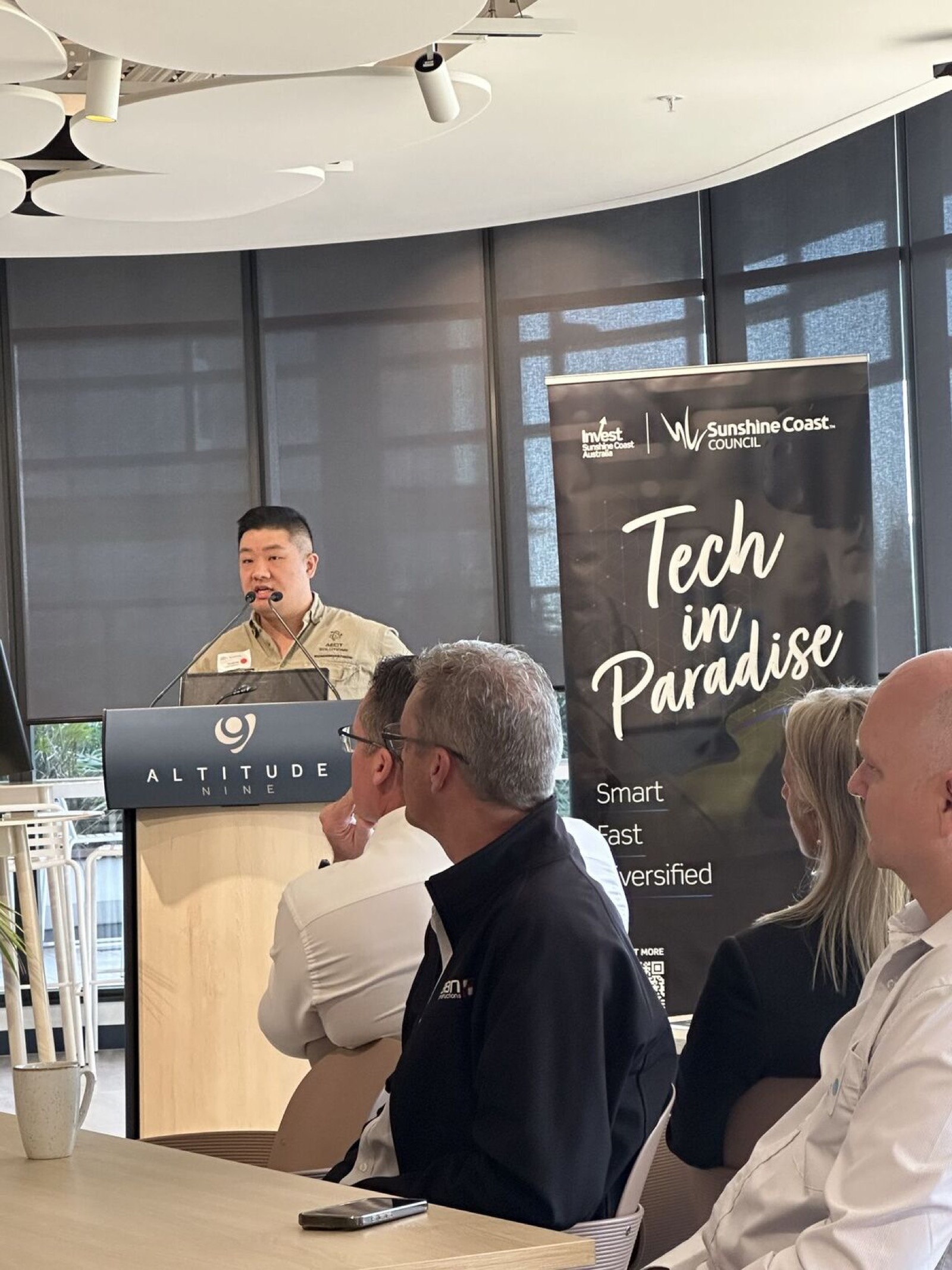
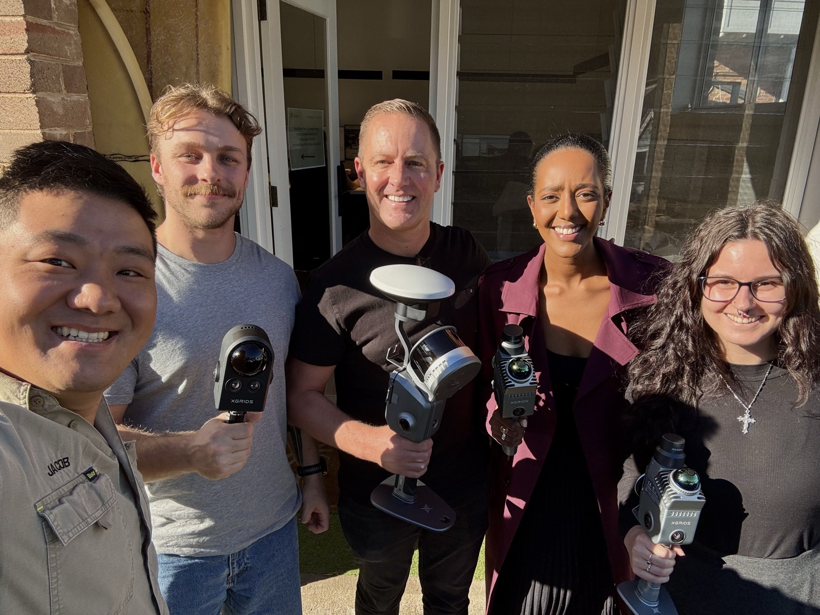
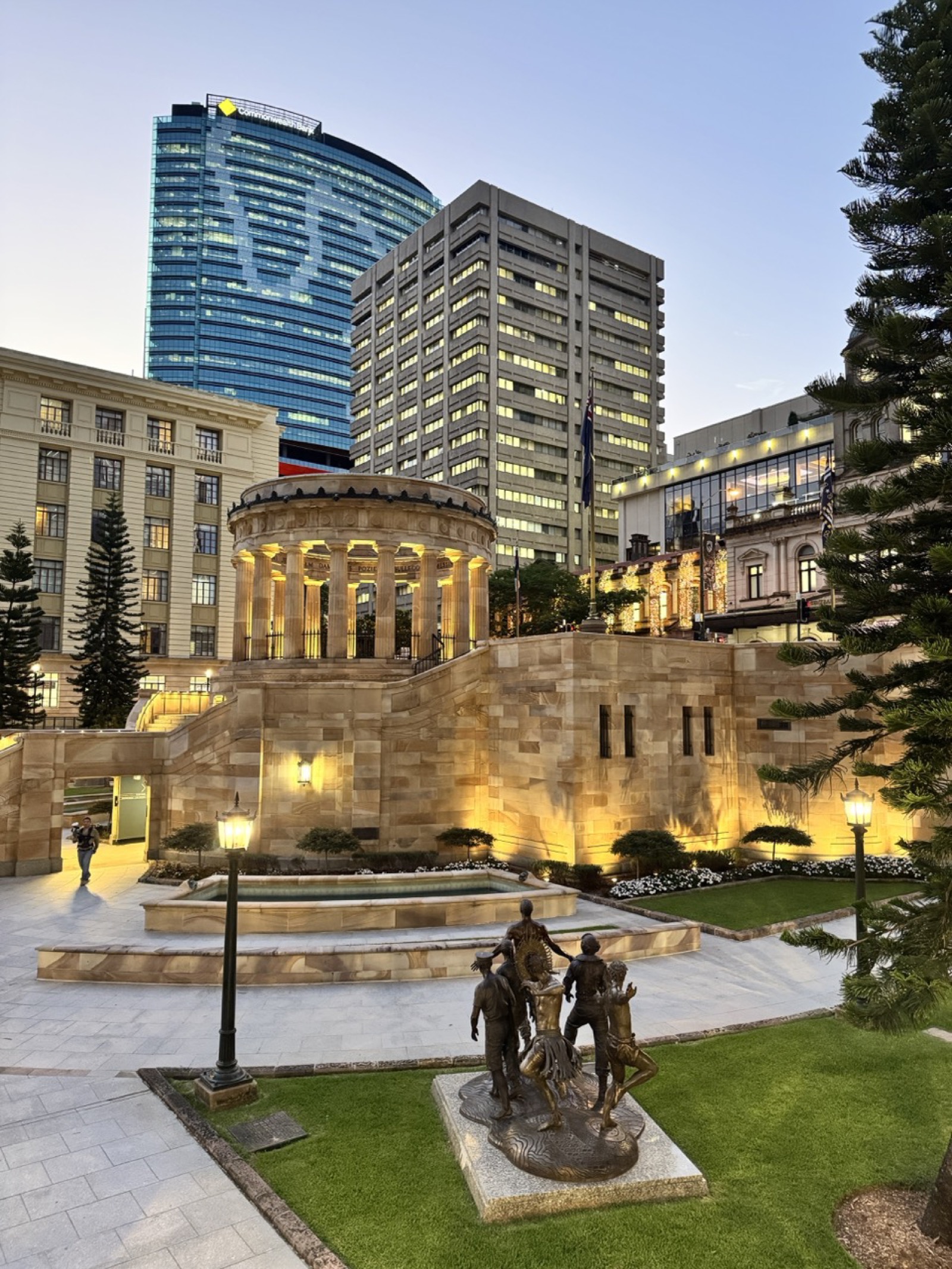





















Built to Pass Your Procurement Team
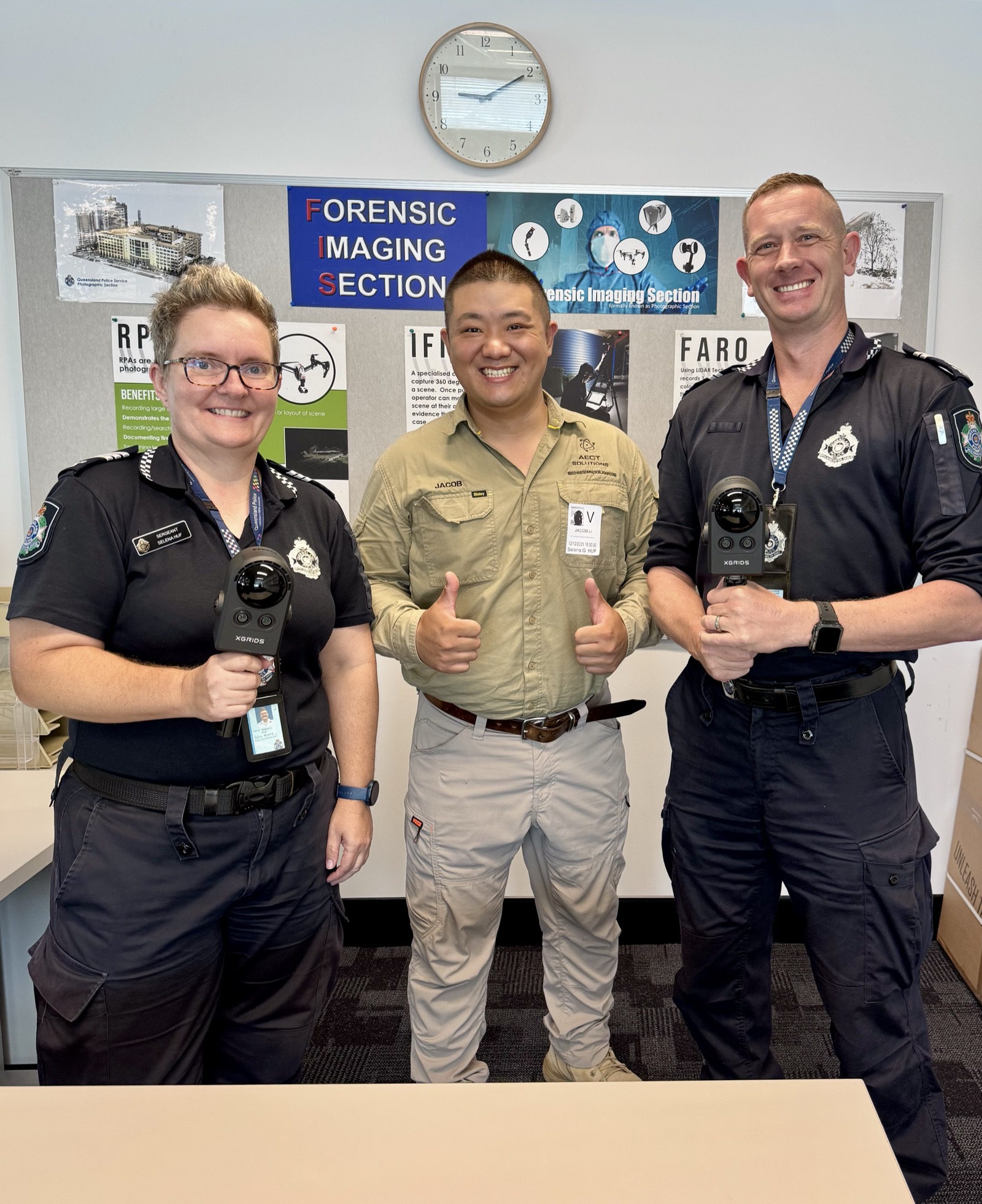
Every credential your compliance checklist asks for — held in-house, not subcontracted. We have supplied state government, policing and university procurement systems.
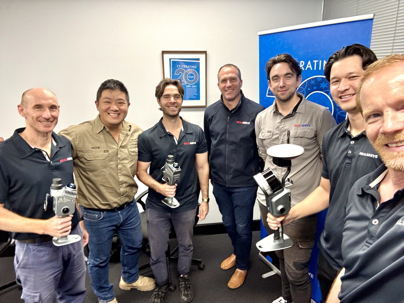
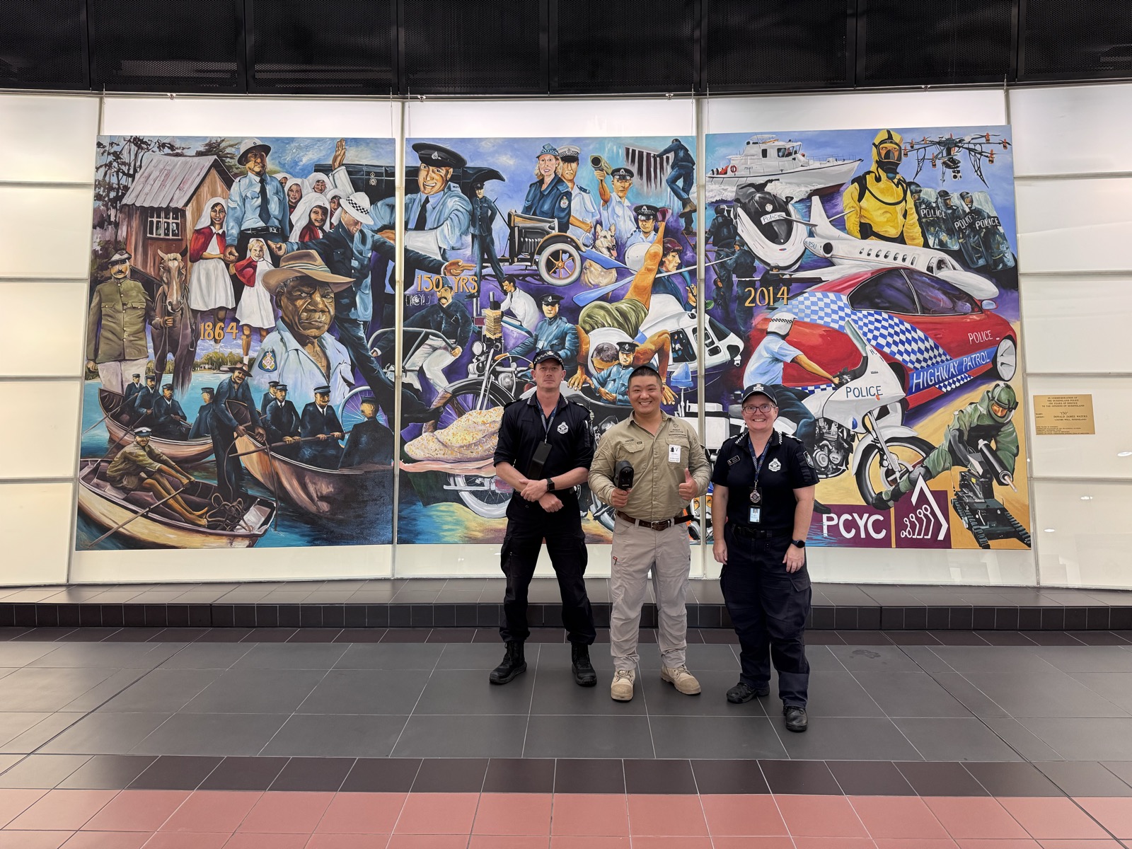
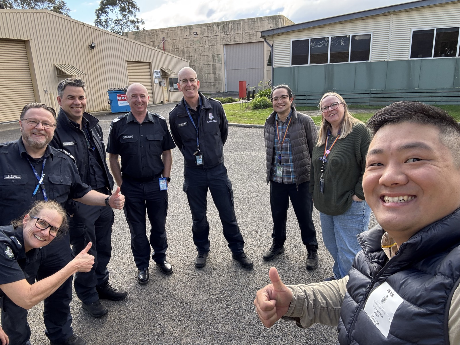
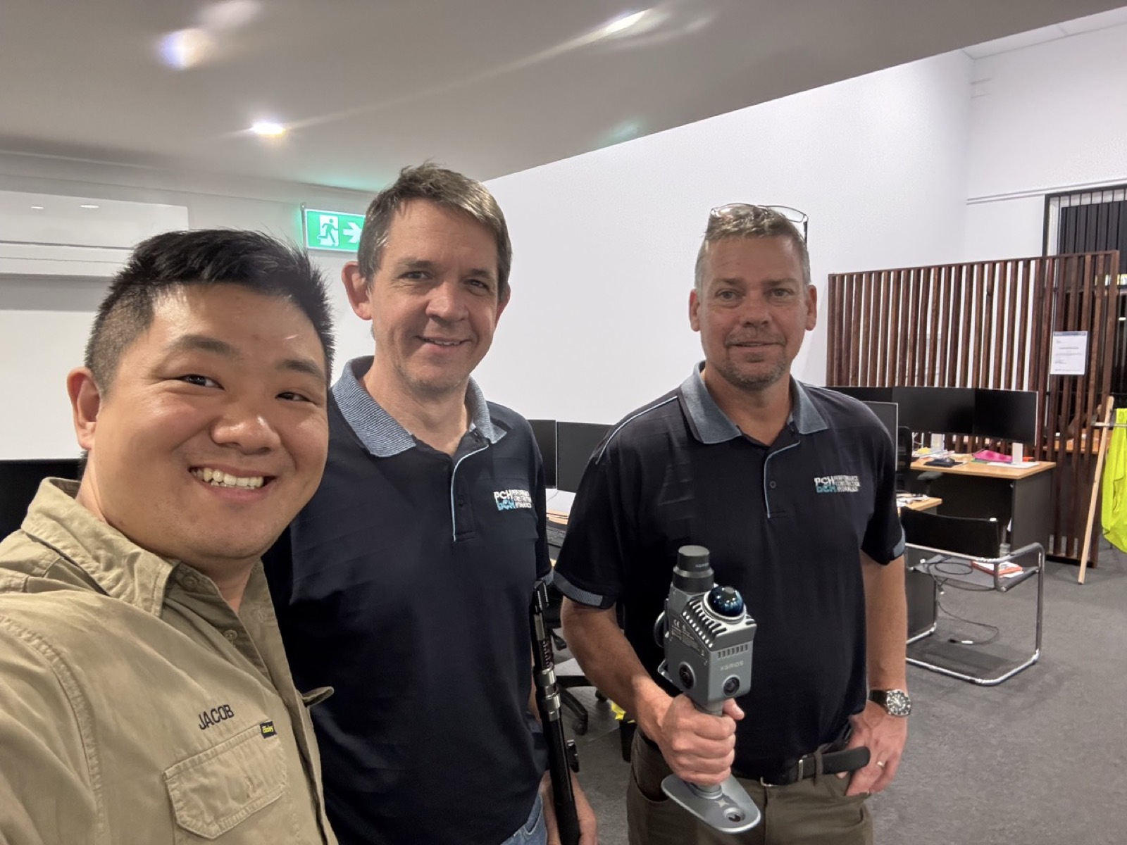
We have successfully helped law-enforcement and government organisations deploy this advanced aerial–ground, geo-referenced 3D workflow — enhancing their existing 2D workflow, helping save more lives, opening sites sooner, and providing 3D truth in evidence.
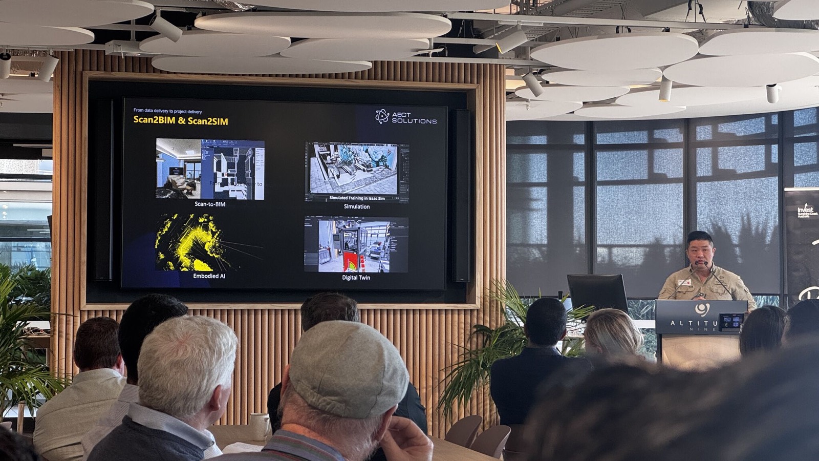
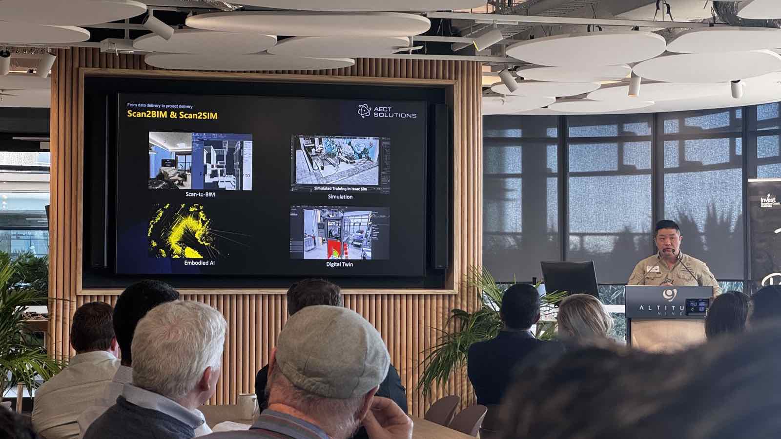
Building a “3D Ecosystem” Between Physical and Digital
Try It This Week. Price It in Two Minutes.
PortalCam, K1, K2 and L2 Pro — live availability calendar, transparent day rates, demo fees 100% creditable toward purchase within 90 days.
Slide to your scene size and quality tier — 3DGS, point cloud, or both bundled. Processed in Australia, on AECT hardware. Nothing leaves offshore.
See It on Your Own Asset
Book 45 minutes with our founder — bring your site, your use case, your accuracy spec. We’ll show you live data from projects like yours, and can share an interactive 3DGS model link for your sector.
Prefer email? Reach us at jacob@aect.solutions
AECT Group Pty Ltd T/A AECT Solutions | ABN 44 659 415 326 | Collider, UniSC Innovation Centre, 90 Sippy Downs Drive, Sippy Downs QLD 4556 | aect.solutions